Dolwilkin Wood
Wood, Forest in Radnorshire
Wales
Dolwilkin Wood

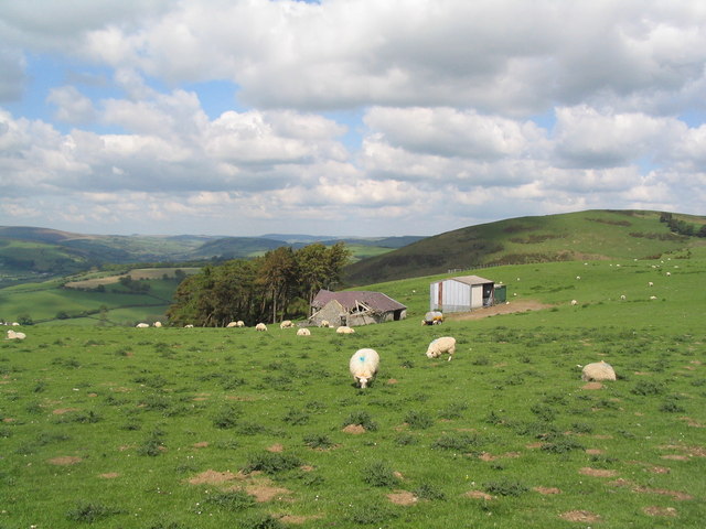
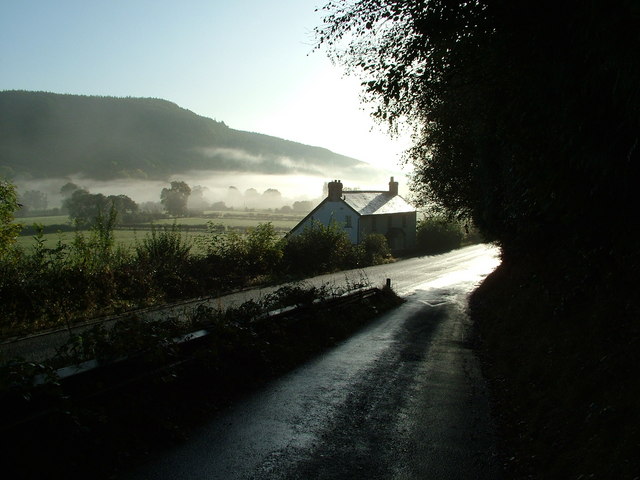
Dolwilkin Wood is a picturesque woodland located in the county of Radnorshire, Wales. Spread across an area of approximately 50 acres, it is a haven for nature enthusiasts and a popular destination for those seeking tranquility in the heart of the countryside.
The wood is predominantly composed of native deciduous trees, such as oak, ash, birch, and beech, which create a diverse and vibrant canopy throughout the seasons. The forest floor is carpeted with an array of wildflowers, ferns, and mosses, adding to its natural beauty. The wood is also home to a variety of wildlife, including deer, foxes, badgers, and a multitude of bird species.
Visitors to Dolwilkin Wood can explore its well-maintained walking trails, which meander through the forest and offer breathtaking views of the surrounding landscape. The wood is especially enchanting in spring, when the trees burst into leaf and the woodland floor is adorned with bluebells and primroses. In autumn, the changing colors of the leaves create a stunning tapestry of reds, oranges, and yellows.
The wood is easily accessible by foot or by car, with a designated parking area nearby. There are also picnic spots and benches dotted along the trails, providing opportunities for visitors to relax and immerse themselves in the peaceful atmosphere.
Dolwilkin Wood is not only a natural treasure but also plays an important role in preserving the biodiversity of Radnorshire. It offers a unique and immersive experience for anyone looking to connect with nature and enjoy the beauty of a traditional Welsh woodland.
If you have any feedback on the listing, please let us know in the comments section below.
Dolwilkin Wood Images
Images are sourced within 2km of 52.359441/-3.1080861 or Grid Reference SO2474. Thanks to Geograph Open Source API. All images are credited.


Dolwilkin Wood is located at Grid Ref: SO2474 (Lat: 52.359441, Lng: -3.1080861)
Unitary Authority: Powys
Police Authority: Dyfed Powys
What 3 Words
///airstrip.transmitted.against. Near Knighton, Powys
Nearby Locations
Related Wikis

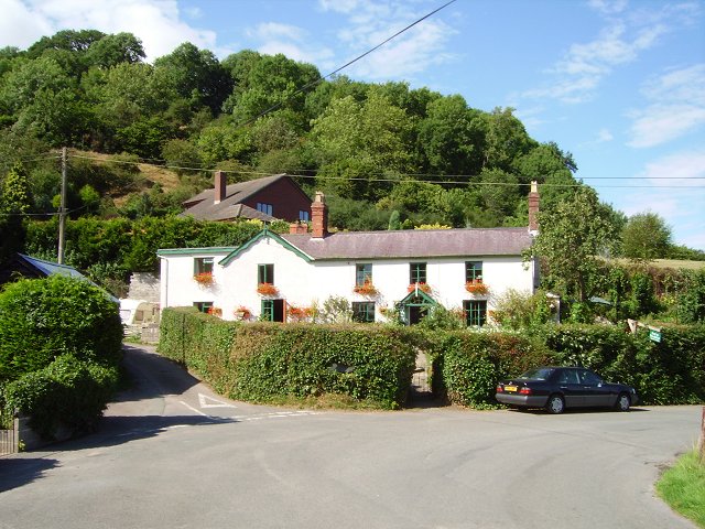
Knucklas
Knucklas (Welsh: Cnwclas, meaning "green hillock") is a village in Powys, Wales, previously Radnorshire. It lies in the upper valley of the River Teme...
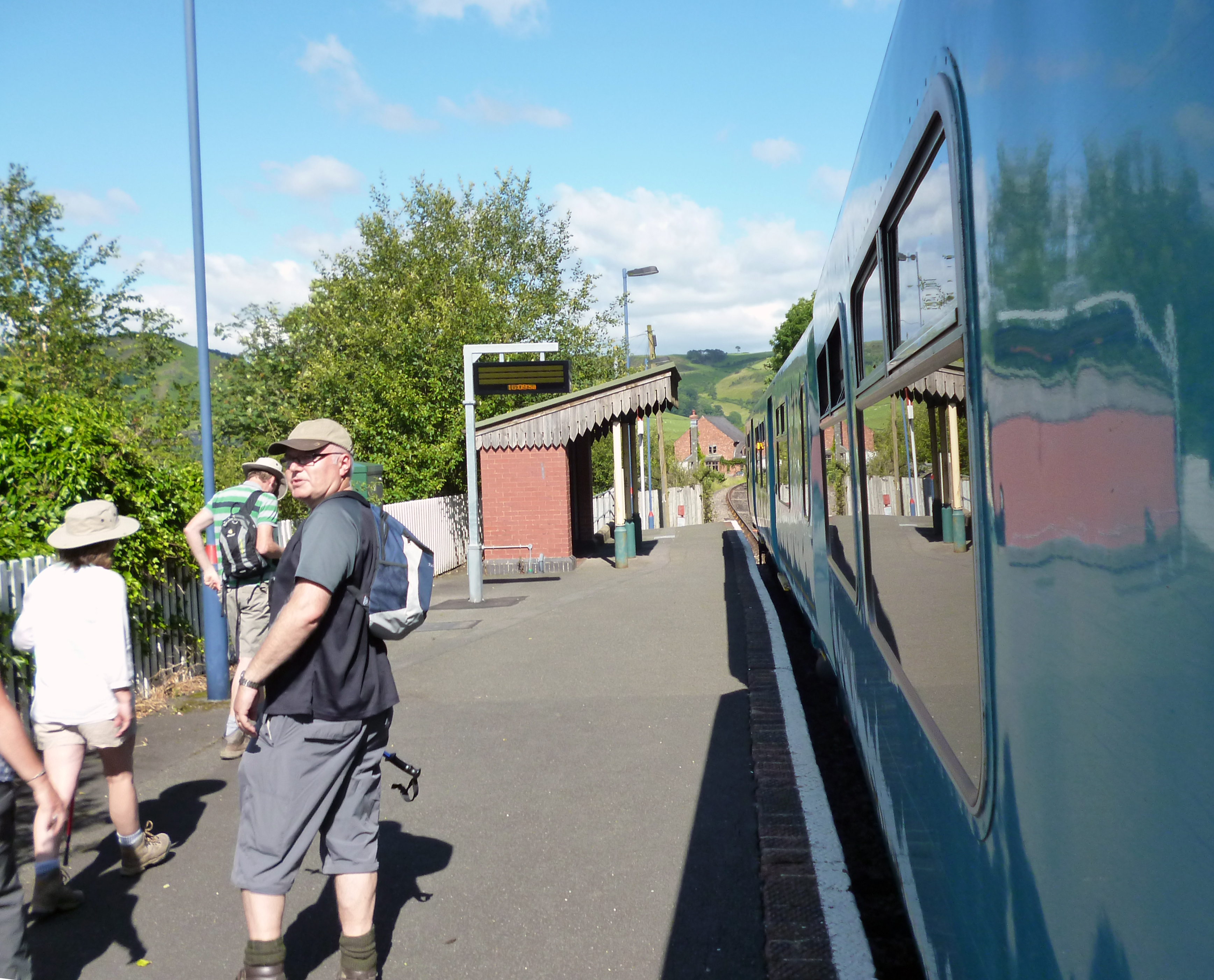
Knucklas railway station
Knucklas railway station serves the village of Knucklas, Powys, Wales, 34+3⁄4 miles (55.9 km) south west of Shrewsbury. This railway station is located...
Skyborry Green
Skyborry Green is a hamlet consisting of a small number of houses and a farm in Shropshire, England, 2 miles (3 km) northwest of Knighton. The hamlet population...
Llanfair Waterdine
Llanfair Waterdine, sometimes written as Llanvair Waterdine and meaning St Mary's Church Waterdine, is a small village and civil parish in Shropshire,...
Nether Skyborry
Nether Skyborry is a Grade 2 listed country house (near to Skyborry Green) and lies within the parish of Llanfair Waterdine, South Shropshire. == Background... ==

Llangynllo railway station
Llangynllo railway station is a countryside stop in Powys about 5 miles west of Knighton, on the Heart of Wales Line. The station is located 1.4 miles...
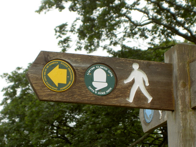
Offa's Dyke Path
Offa's Dyke Path (Welsh: Llwybr Clawdd Offa) is a long-distance footpath loosely following the Wales–England border. Officially opened on 10 July 1971...

Knighton Community Centre
Knighton Community Centre is a venue situated in the Powys border town of Knighton. Following an extensive refurbishment in 2017, it has become a hub...
Related Videos

Knucklas Castle / Cnwclas Castle Hill Mid Wales Border Flight. 4K Drone
The Castle Mound A protected ancient monument in the care of Knucklas Castle Community Land Project[1] and listed by Cadw ...
Nearby Amenities
Located within 500m of 52.359441,-3.1080861Have you been to Dolwilkin Wood?
Leave your review of Dolwilkin Wood below (or comments, questions and feedback).