Pentrusco Wood
Wood, Forest in Radnorshire
Wales
Pentrusco Wood

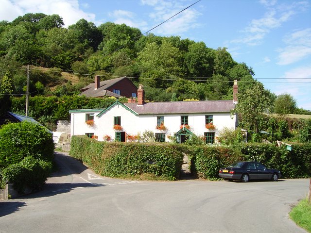
Pentrusco Wood is a picturesque forest located in the county of Radnorshire, Wales. Spread across an area of approximately 500 acres, it is known for its rich biodiversity and stunning natural beauty. The wood is situated near the village of Pentrusco, which adds to its charm and accessibility.
The forest is predominantly composed of deciduous trees, with a mix of oak, ash, beech, and birch dominating the landscape. These trees provide a canopy of shade and create a tranquil ambiance, making it an ideal place for leisurely walks, picnics, and birdwatching.
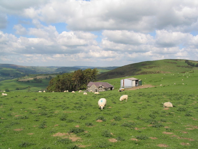
Pentrusco Wood is home to a diverse range of wildlife, including various bird species, mammals, and insects. Bird enthusiasts can spot the likes of woodpeckers, jays, and owls, while mammal sightings may include foxes, badgers, and deer. The wood also features a small watercourse, which further enhances the ecosystem and attracts amphibians and reptiles.
The forest is crisscrossed with a network of well-maintained footpaths, allowing visitors to explore its wonders at their own pace. These paths wind through the wood, leading to secluded clearings and hidden viewpoints that offer breathtaking vistas of the surrounding countryside.
Pentrusco Wood is a popular destination for nature lovers, hikers, and photographers seeking to capture the beauty of the Welsh landscape. The peacefulness and tranquility found within its boundaries make it an ideal escape from the hustle and bustle of daily life.
If you have any feedback on the listing, please let us know in the comments section below.
Pentrusco Wood Images
Images are sourced within 2km of 52.360345/-3.1122499 or Grid Reference SO2474. Thanks to Geograph Open Source API. All images are credited.


Pentrusco Wood is located at Grid Ref: SO2474 (Lat: 52.360345, Lng: -3.1122499)
Unitary Authority: Powys
Police Authority: Dyfed Powys
What 3 Words
///driveways.gurgled.crashing. Near Knighton, Powys
Nearby Locations
Related Wikis

Knucklas
Knucklas (Welsh: Cnwclas, meaning "green hillock") is a village in Powys, Wales, previously Radnorshire. It lies in the upper valley of the River Teme...
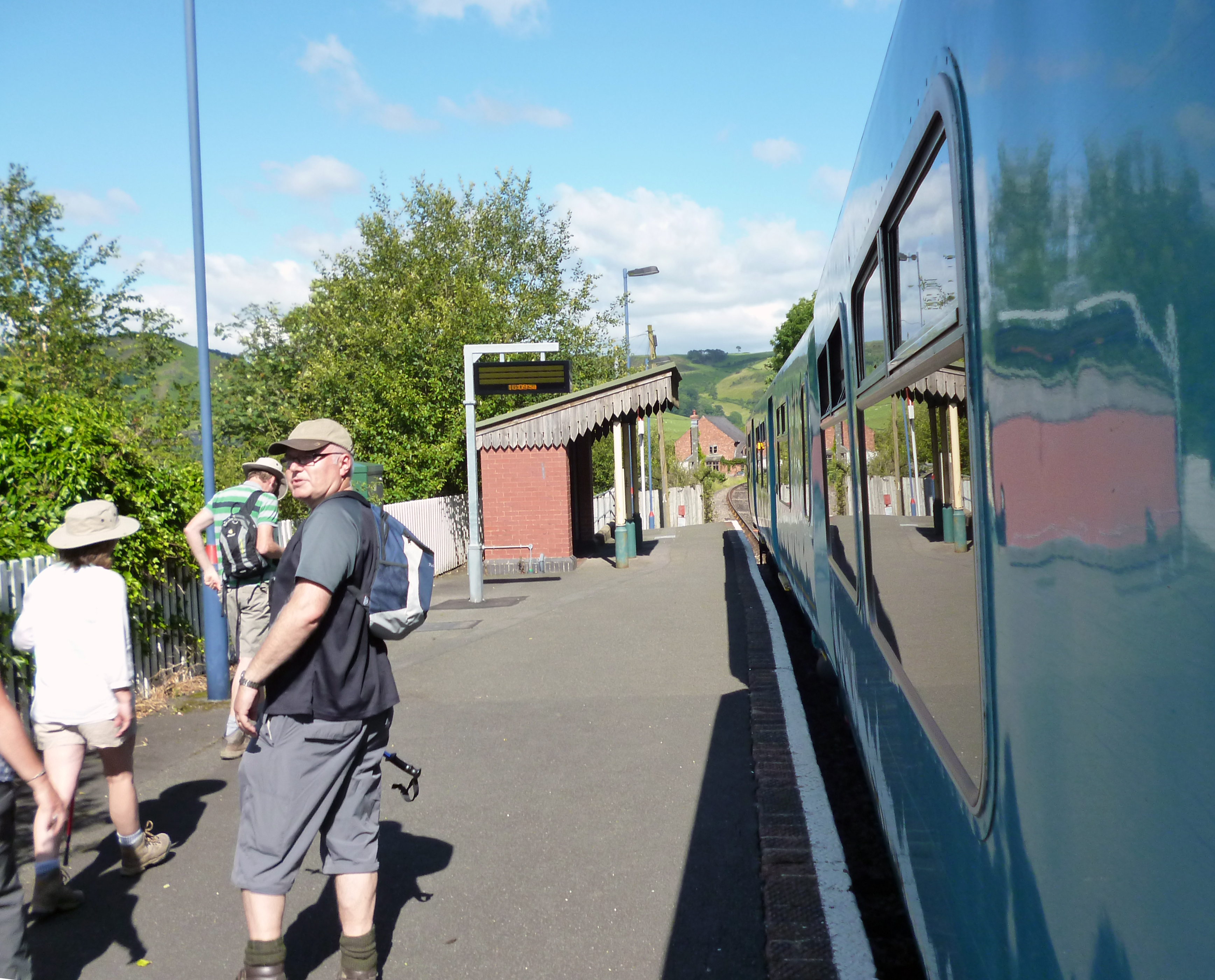
Knucklas railway station
Knucklas railway station serves the village of Knucklas, Powys, Wales, 34+3⁄4 miles (55.9 km) south west of Shrewsbury. This railway station is located...
Skyborry Green
Skyborry Green is a hamlet consisting of a small number of houses and a farm in Shropshire, England, 2 miles (3 km) northwest of Knighton. The hamlet population...
Llanfair Waterdine
Llanfair Waterdine, sometimes written as Llanvair Waterdine and meaning St Mary's Church Waterdine, is a small village and civil parish in Shropshire,...
Nearby Amenities
Located within 500m of 52.360345,-3.1122499Have you been to Pentrusco Wood?
Leave your review of Pentrusco Wood below (or comments, questions and feedback).