Castle Hill
Hill, Mountain in Radnorshire
Wales
Castle Hill

Castle Hill is a prominent hill located in Radnorshire, a historic county in central Wales. Situated near the town of Presteigne, Castle Hill stands at an elevation of approximately 271 meters (889 feet) above sea level. It is a popular natural landmark that offers breathtaking panoramic views of the surrounding countryside.
The hill gets its name from the remnants of an ancient Iron Age hillfort that once occupied its summit. The remains of defensive earthworks, including ramparts and ditches, can still be seen today, offering visitors a glimpse into the area's rich history. The site is believed to have been occupied from the late Bronze Age until the Roman period.
Castle Hill is covered in lush green vegetation, with a variety of trees and shrubs adorning its slopes. The hill is a haven for flora and fauna, providing a habitat for a diverse range of plant and animal species. Wildflowers bloom in the spring and summer, creating a colorful tapestry across the landscape.
The hill is a popular destination for outdoor enthusiasts, offering various walking trails and paths that allow visitors to explore its natural beauty. Hikers and nature lovers are drawn to Castle Hill for its breathtaking views and tranquil surroundings. It is a perfect spot for picnics, relaxation, and photography, with the surrounding countryside providing a picturesque backdrop.
Due to its historical significance and natural beauty, Castle Hill is a cherished landmark in Radnorshire, attracting both locals and tourists alike. It offers a unique blend of ancient history, stunning views, and a peaceful atmosphere, making it a must-visit destination for those exploring the area.
If you have any feedback on the listing, please let us know in the comments section below.
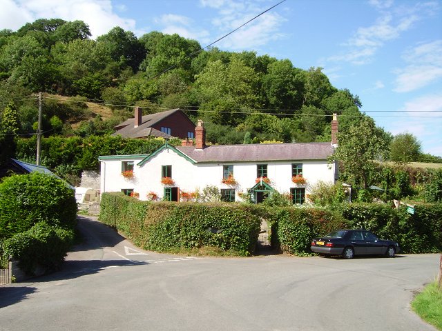
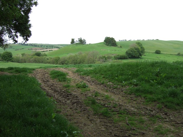
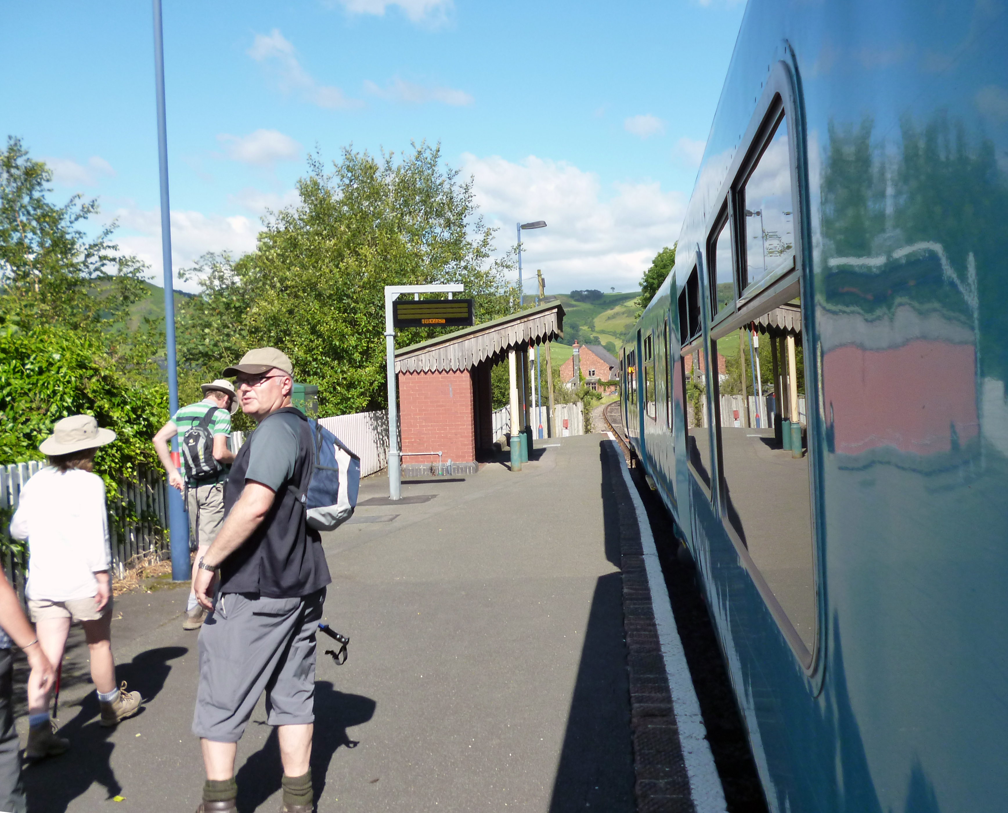
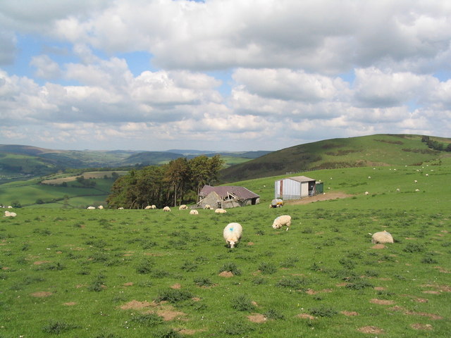
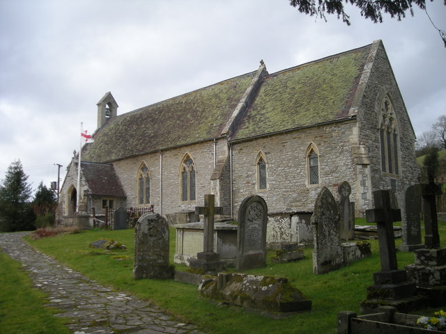
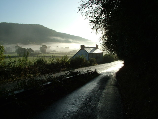
Castle Hill Images
Images are sourced within 2km of 52.363862/-3.1034384 or Grid Reference SO2474. Thanks to Geograph Open Source API. All images are credited.


Castle Hill is located at Grid Ref: SO2474 (Lat: 52.363862, Lng: -3.1034384)
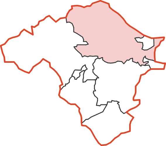
Unitary Authority: Powys
Police Authority: Dyfed Powys
What 3 Words
///corrode.zoned.market. Near Knighton, Powys
Nearby Locations
Related Wikis

Knucklas
Knucklas (Welsh: Cnwclas, meaning "green hillock") is a village in Powys, Wales, previously Radnorshire. It lies in the upper valley of the River Teme...
Knucklas railway station
Knucklas railway station serves the village of Knucklas, Powys, Wales, 34+3⁄4 miles (55.9 km) south west of Shrewsbury. This railway station is located...
Skyborry Green
Skyborry Green is a hamlet consisting of a small number of houses and a farm in Shropshire, England, 2 miles (3 km) northwest of Knighton. The hamlet population...
Llanfair Waterdine
Llanfair Waterdine, sometimes written as Llanvair Waterdine and meaning St Mary's Church Waterdine, is a small village and civil parish in Shropshire,...
Nether Skyborry
Nether Skyborry is a Grade 2 listed country house (near to Skyborry Green) and lies within the parish of Llanfair Waterdine, South Shropshire. == Background... ==
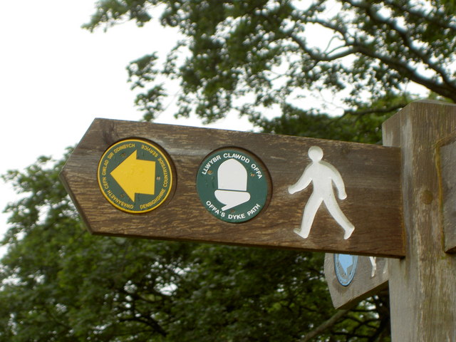
Offa's Dyke Path
Offa's Dyke Path (Welsh: Llwybr Clawdd Offa) is a long-distance footpath loosely following the Wales–England border. Officially opened on 10 July 1971...
Knighton Rural District
Knighton was, from 1894 to 1974, a rural district in the administrative county of Radnorshire, Wales. The district was formed by the Local Government Act...

Knighton Community Centre
Knighton Community Centre is a venue situated in the Powys border town of Knighton. Following an extensive refurbishment in 2017, it has become a hub...
Nearby Amenities
Located within 500m of 52.363862,-3.1034384Have you been to Castle Hill?
Leave your review of Castle Hill below (or comments, questions and feedback).