Highland Coppice

Wood, Forest in Montgomeryshire

Wales

Highland Coppice

Traffic delay in Llansantffraid-ym-Mechain
Traffic delay in Llansantffraid-ym-Mechain Credit: Bill Boaden

Highland Coppice is a picturesque woodland located in Montgomeryshire, a county in central Wales. Covering an area of approximately 50 hectares, this forested area is known for its diverse and abundant flora and fauna.

The wood features a mix of broadleaf and coniferous trees, including oak, beech, birch, and pine. These trees provide a dense canopy, creating a peaceful and shaded environment that is perfect for walking, hiking, and exploring. The forest floor is carpeted with a rich assortment of wildflowers, ferns, and mosses, adding to the beauty and biodiversity of the area.

Highland Coppice is home to a wide variety of wildlife, including birds such as woodpeckers, owls, and buzzards. Deer, badgers, and foxes are also commonly spotted in the woodland. The forest is an important habitat for many species, and efforts have been made to maintain and preserve the natural balance of the ecosystem.

Visitors to Highland Coppice can enjoy a network of well-maintained trails and paths, providing opportunities for leisurely strolls or more challenging hikes. The forest also features picnic areas and viewpoints, allowing visitors to take in the stunning vistas of the surrounding landscape.

With its tranquil atmosphere, diverse ecosystems, and stunning natural beauty, Highland Coppice is a popular destination for nature lovers and outdoor enthusiasts alike. Whether it's for a peaceful walk, wildlife spotting, or simply to escape the hustle and bustle of everyday life, this forested gem in Montgomeryshire offers a serene and rejuvenating experience for all who visit.

If you have any feedback on the listing, please let us know in the comments section below.

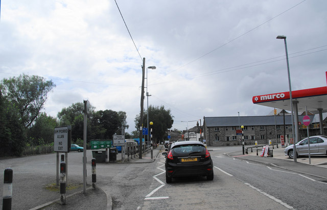
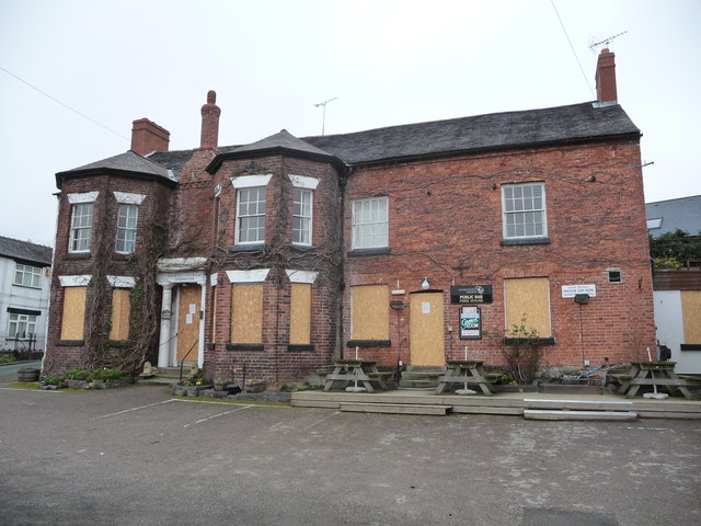
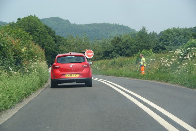
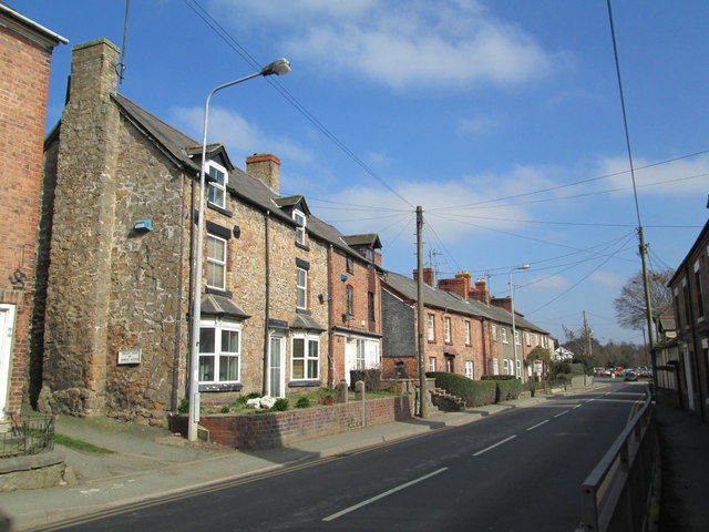
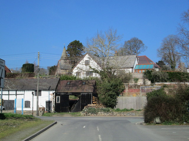
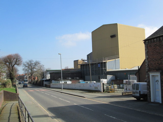
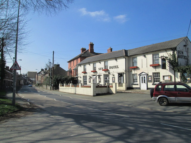
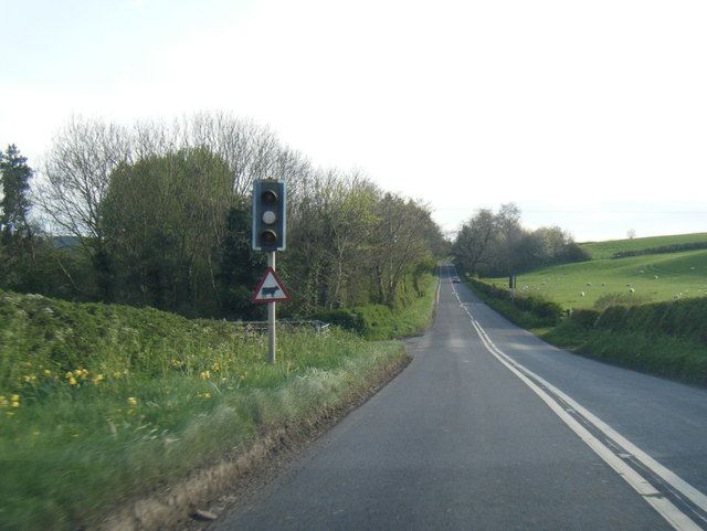
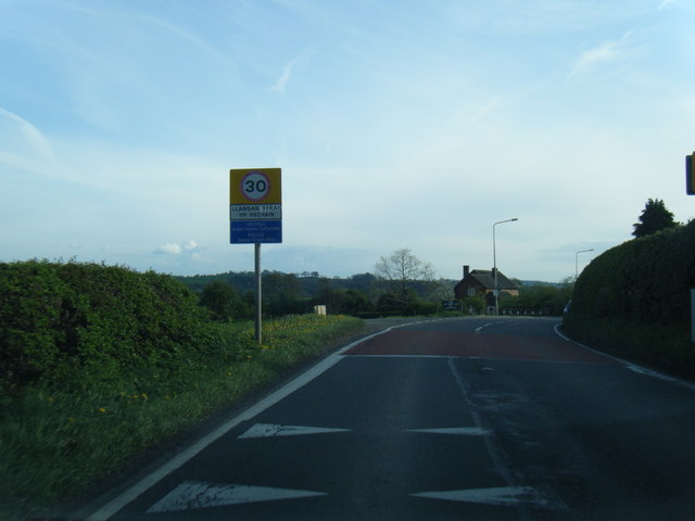
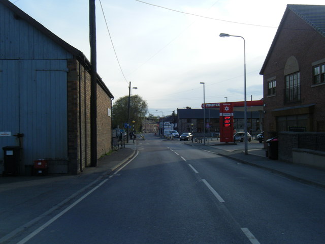
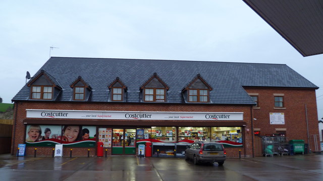
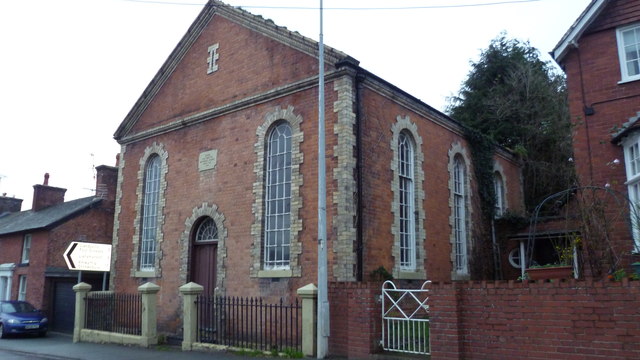
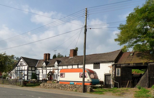
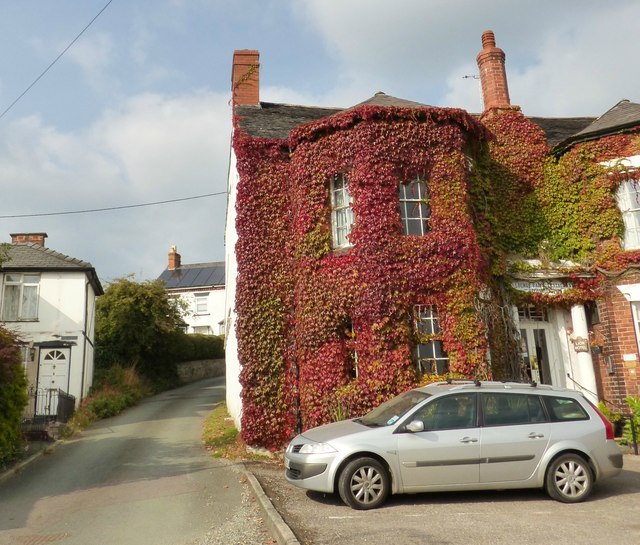
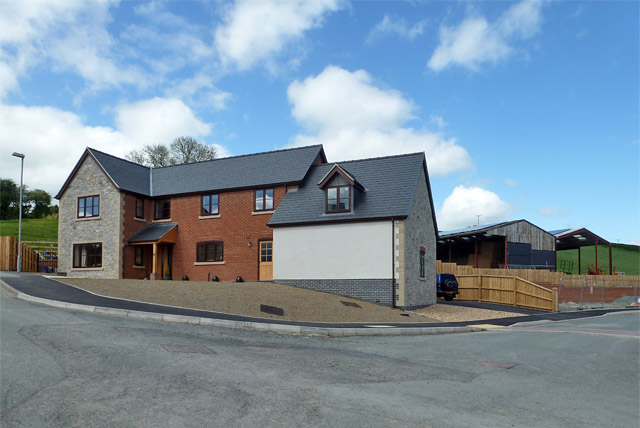
Highland Coppice Images

Images are sourced within 2km of 52.788579/-3.1415307 or Grid Reference SJ2321. Thanks to Geograph Open Source API. All images are credited.

Traffic delay in Llansantffraid-ym-Mechain
The Lion Hotel, Llansantffraid-ym-Mechain Another pub suffering the current trading conditions and pressures from the supermarkets, despite a good site, local beers etc.
The Lion Hotel, Llansantffraid-ym-Mechain
Another pub suffering the current trading conditions and pressures from the supermarkets, despite a good site, local beers etc.
Road works near Llanyblodwel The road works are described as "Mobile road works". The road will shortly cross Afon Tanat. The hill ahead accommodates Llynclys Quarry. This is England but many of the local names are Welsh.
Road works near Llanyblodwel
The road works are described as "Mobile road works". The road will shortly cross Afon Tanat. The hill ahead accommodates Llynclys Quarry. This is England but many of the local names are Welsh.
Main road through Llansantffraid-ym-Mechain Looking east along the A495 which goes through the village.
Main road through Llansantffraid-ym-Mechain
Looking east along the A495 which goes through the village.
Western end of Llansantffraid-ym-Mechain Seen from the entrance to the Wynnstay factory. St Ffraid's Church (also known as the Church of St Bride or St Bridget), with its spire, can be seen on higher ground behind other buildings.
Western end of Llansantffraid-ym-Mechain
Seen from the entrance to the Wynnstay factory. St Ffraid's Church (also known as the Church of St Bride or St Bridget), with its spire, can be seen on higher ground behind other buildings.
Wynnstay factory, Llansantffraid-ym-Mechain Looking east along the A495 which runs through Llansantffraid-ym-Mechain; over the road is the Wynnstay factory (agricultural supplies).
Wynnstay factory, Llansantffraid-ym-Mechain
Looking east along the A495 which runs through Llansantffraid-ym-Mechain; over the road is the Wynnstay factory (agricultural supplies).
Sun Hotel, Llansantffraid-ym-Mechain The Sun Hotel is at the eastern end of the village.
Sun Hotel, Llansantffraid-ym-Mechain
The Sun Hotel is at the eastern end of the village.
A495 lights for Aber Tanat Farm cattle
A495 at Llansantffraid-ym-Mechain village boundary
A495 in Llansantffraid-ym-Mechain
Filling station shop in Llansanffraid-ym-Mechain Convenient store.
Filling station shop in Llansanffraid-ym-Mechain
Convenient store.
Zion chapel in Llansanffraid-ym-Mechain Old Calvinistic Methodist chapel dated 1846.
Zion chapel in Llansanffraid-ym-Mechain
Old Calvinistic Methodist chapel dated 1846.
Timber framed house, Llansantffraid-ym-Mechain With a wonderfully bright caravan.
Timber framed house, Llansantffraid-ym-Mechain
With a wonderfully bright caravan.
Church Lane, Llansantffraid-ym-Mechain,
New houses, Spoonley Farm development In Llansanffraid-ym-Mechain.
New houses, Spoonley Farm development
In Llansanffraid-ym-Mechain.
Ordnance Survey Cut Mark This OS cut mark can be found on the SE face of St Fraid's Church. It marks a point 94.984m above mean sea level.
Ordnance Survey Cut Mark
This OS cut mark can be found on the SE face of St Fraid's Church. It marks a point 94.984m above mean sea level.
Ordnance Survey Flush Bracket S0828 This can be found on a building at Bryn-yCroes (a Private dwelling) at Llanyblodwel.
For more detail see : <span class="nowrap"><a title="http://www.bench-marks.org.uk/bm14934" rel="nofollow ugc noopener" href="http://www.bench-marks.org.uk/bm14934">Link</a><img style="margin-left:2px;" alt="External link" title="External link - shift click to open in new window" src="https://s1.geograph.org.uk/img/external.png" width="10" height="10"/></span>
Ordnance Survey Flush Bracket S0828
This can be found on a building at Bryn-yCroes (a Private dwelling) at Llanyblodwel. For more detail see : LinkExternal link
Minor road leaving the B4396 at Llanybodwel Looking westward.
Minor road leaving the B4396 at Llanybodwel
Looking westward.
Show me another place!

Highland Coppice is located at Grid Ref: SJ2321 (Lat: 52.788579, Lng: -3.1415307)

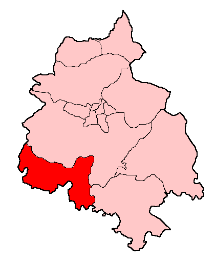
Unitary Authority: Powys

Police Authority: Dyfed Powys

What 3 Words

///nimbly.leotard.heartburn. Near Pant, Shropshire

Nearby Locations

Highland Coppice

Related Wikis

Llanyblodwel Halt railway station

Llanyblodwel Halt railway station was a station in Llanyblodwel, Shropshire, England, on the Tanat Valley Light Railway. The station opened in 1904 and...

St Michael the Archangel, Llanyblodwel

St Michael the Archangel is a Grade I listed church in Llanyblodwel, in Shropshire, England. It has a spire of unusual shape and was designed in 1847...

Llanyblodwel

Llanyblodwel is a village and civil parish in Shropshire, England; the spelling "Llanyblodwell" was commonly used in the past, and the village was sometimes...

Llanyblodwel and Pant

Llanyblodwel and Pant was a ward in the county of Shropshire. == Abolition == With the re-organisation of local government in Shropshire in 2009 (i.e....

Recreation Ground, Llansantffraid-ym-Mechain

The Recreation Ground, usually referred to as Treflan, is a football stadium in Llansantffraid-ym-Mechain, Powys, Wales and is the home of Mid Wales League...

River Cain

The River Cain (Afon Cain in Welsh) is a river in north Powys which flows into the River Vyrnwy. Cain's source is just west of Llanfyllin, at the confluence...

Llansantffraid railway station

Llansantffraid railway station is a former station in Llansantffraid-ym-Mechain, Powys, Wales. The station opened in 1863 and closed in 1965. The station...

Afon Tanat

Afon Tanat is a river in northern Powys, Wales. Its source is close to the Cyrniau Nod mountain, to the north of Lake Vyrnwy. The river flows in a generally...

Have you been to Highland Coppice?

Leave your review of Highland Coppice below (or comments, questions and feedback).