Coed y Brain
Wood, Forest in Glamorgan
Wales
Coed y Brain

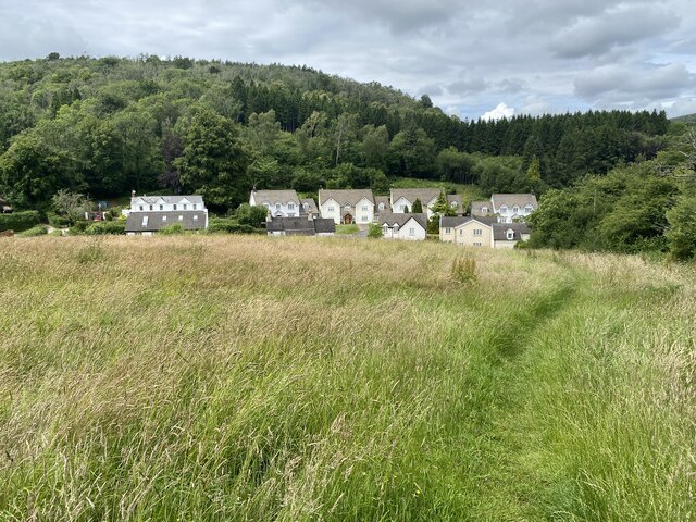
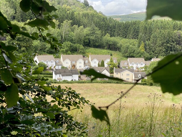
Coed y Brain, located in Glamorgan, Wales, is a picturesque woodland area known for its rich biodiversity and stunning natural beauty. Spanning over several hectares, this forest is a haven for nature enthusiasts, hikers, and wildlife enthusiasts.
The woodland is home to a diverse range of flora and fauna, including ancient oak trees, beech trees, and a variety of wildflowers. The dense canopy of the forest provides a sanctuary for numerous bird species such as the great spotted woodpecker, buzzards, and tawny owls. Additionally, the forest floor is teeming with small mammals like foxes, badgers, and rabbits.
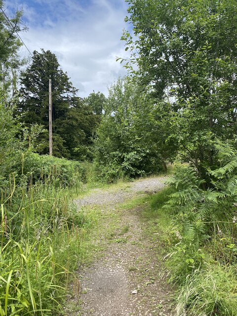
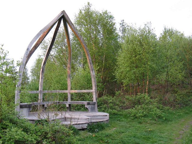
Coed y Brain offers an extensive network of walking trails that wind through the forest, allowing visitors to immerse themselves in the tranquility of nature. The trails are well-maintained and cater to different fitness levels, making it accessible for people of all ages and abilities.
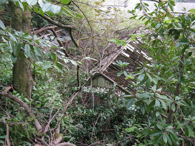
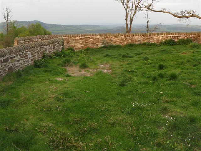
For those interested in history, Coed y Brain also holds cultural significance. The forest was once part of an ancient medieval hunting estate, and remnants of this past can still be seen in the form of old stone walls and earthworks scattered throughout the woodland.
The forest management team is dedicated to conserving the natural environment and ensuring the well-being of the ecosystem. They organize guided walks and educational programs to raise awareness about the importance of preserving the woodlands and its inhabitants.
Coed y Brain is a true gem in Glamorgan, offering a peaceful retreat from the hustle and bustle of everyday life, while also providing an opportunity to connect with nature and appreciate the wonders of the woodland habitat.
If you have any feedback on the listing, please let us know in the comments section below.
Coed y Brain Images
Images are sourced within 2km of 51.567086/-3.1109597 or Grid Reference ST2385. Thanks to Geograph Open Source API. All images are credited.


Coed y Brain is located at Grid Ref: ST2385 (Lat: 51.567086, Lng: -3.1109597)
Unitary Authority: Caerphilly
Police Authority: Gwent
What 3 Words
///cycles.spinners.steroids. Near Machen, Caerphilly
Nearby Locations
Related Wikis

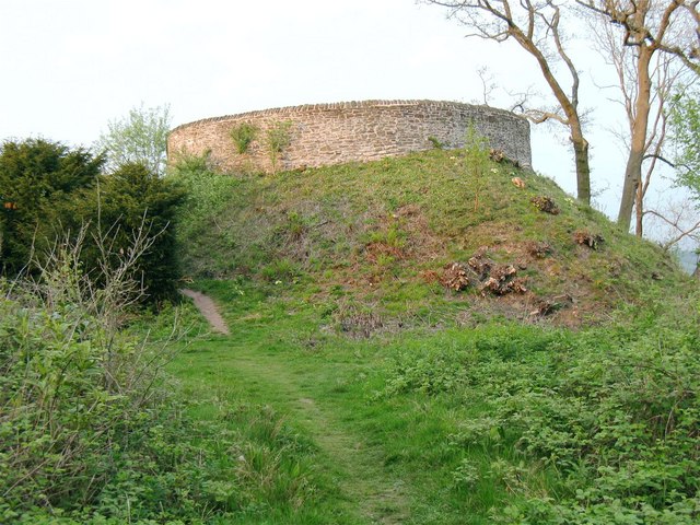
Ruperra Motte
Ruperra Motte, also known as Craig Ruperra Motte, (Welsh: Castell Breiniol, or Castell y Ddraenen) is a medieval motte and bailey castle in the community...

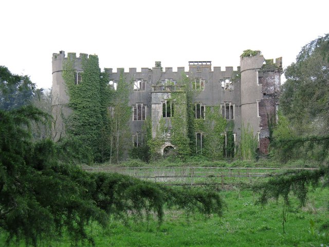
Ruperra Castle
Ruperra Castle or Rhiwperra Castle (Welsh: Castell Rhiw'r Perrai) is a Grade II* Listed building and Scheduled Ancient Monument, situated in Lower Machen...

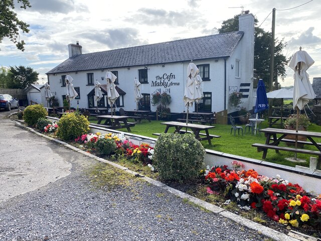
Cefn Mably House
Cefn Mably House (Welsh: Ty Cefn Mabli) is a mansion situated in Cefn Mably, Caerphilly County Borough, Wales. It is a Grade II listed building. The gardens...

Cefn Mably
Cefn Mably is a district located approximately 6 miles north of Cardiff city centre and 5 miles south-east of Caerphilly. It's mostly within the city...
Nearby Amenities
Located within 500m of 51.567086,-3.1109597Have you been to Coed y Brain?
Leave your review of Coed y Brain below (or comments, questions and feedback).