Coed Medart
Wood, Forest in Monmouthshire
Wales
Coed Medart

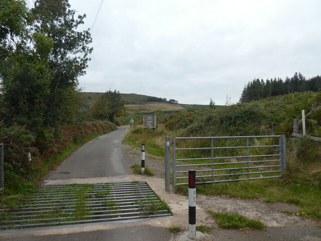
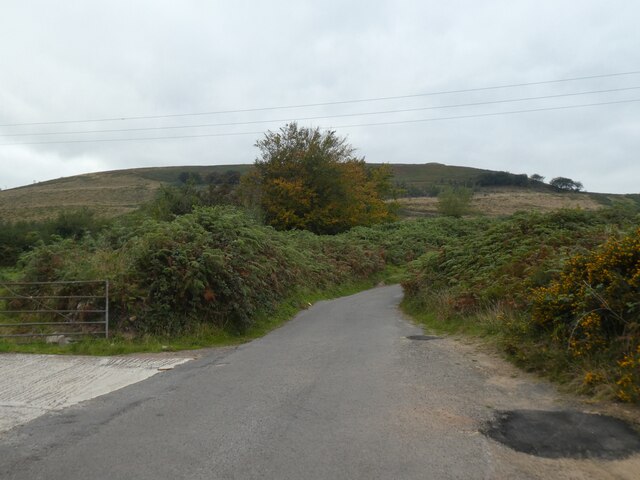
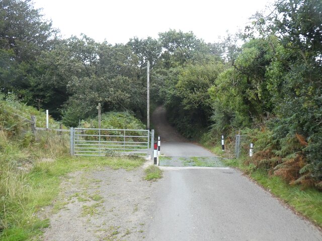
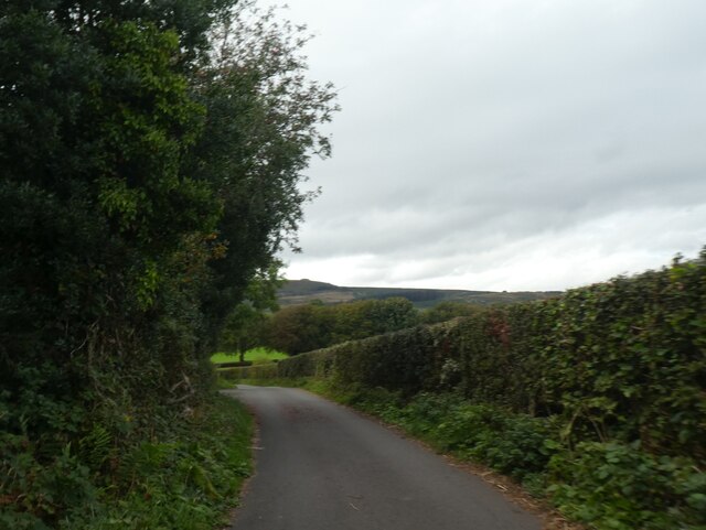
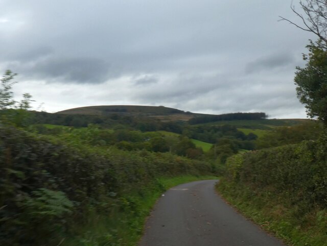
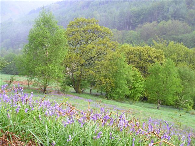
Coed Medart, located in Monmouthshire, Wales, is a picturesque woodland area that attracts visitors with its natural beauty and tranquil atmosphere. Covering an area of approximately 100 hectares, this ancient woodland is known for its diverse ecosystem and rich biodiversity.
The woodland is predominantly made up of native broadleaf trees, including oak, beech, ash, and birch. These towering trees create a dense canopy, which provides a habitat for a variety of wildlife species. Coed Medart is particularly renowned for its bird population, with species such as woodpeckers, nuthatches, and tawny owls frequently spotted by enthusiasts.
The woodland is crisscrossed by a network of well-maintained footpaths, making it a popular destination for walkers, hikers, and nature lovers. These trails wind through the woodland, offering breathtaking views of the surrounding landscape and opportunities to observe the flora and fauna up close.
Coed Medart is also home to a number of small streams and ponds, which further enhance the area's natural beauty. These water bodies support a diverse range of aquatic plants, insects, and amphibians. Visitors can often spot dragonflies and damselflies hovering over the water, while the gentle babbling of the streams adds to the peaceful ambiance.
The woodland is open to the public throughout the year, with free admission. It offers a peaceful retreat from the hustle and bustle of everyday life, providing a perfect setting for relaxation, photography, and nature exploration. Coed Medart truly encapsulates the beauty of the Welsh countryside and is a must-visit destination for nature enthusiasts seeking a tranquil escape.
If you have any feedback on the listing, please let us know in the comments section below.
Coed Medart Images
Images are sourced within 2km of 51.631044/-3.111944 or Grid Reference ST2393. Thanks to Geograph Open Source API. All images are credited.


Coed Medart is located at Grid Ref: ST2393 (Lat: 51.631044, Lng: -3.111944)
Unitary Authority: Caerphilly
Police Authority: Gwent
What 3 Words
///stars.reclining.daunting. Near Crosskeys, Caerphilly
Nearby Locations
Related Wikis

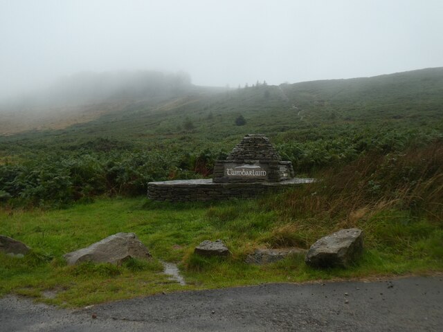
Twmbarlwm
Twmbarlwm, also known as Twm Barlwm, Twyn Barlwm or locally known as "the Twmp" (translation: hump), the Nipple or the Pimple because of the mound that...
Cwmcarn
Cwmcarn is a village situated in the Ebbw valley in south Wales, in the historic boundaries of Monmouthshire. It grew with 19th-century coal mining, but...

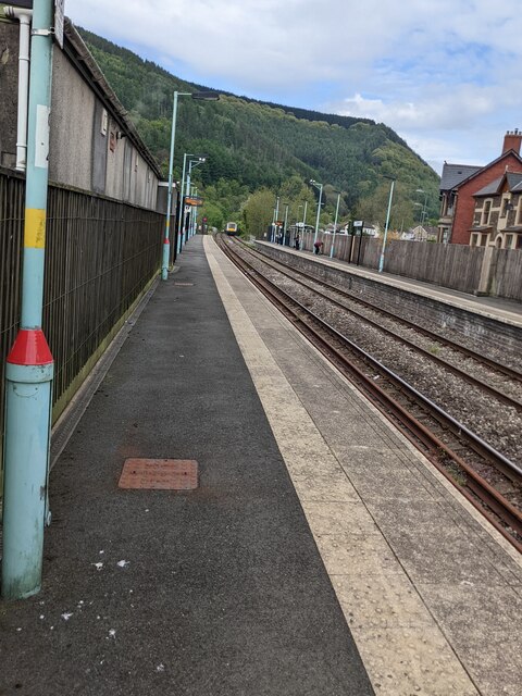
Crosskeys railway station
Crosskeys railway station is a station serving the village of Crosskeys in the Caerphilly County Borough in Wales. It is on the Ebbw Valley Railway. The...

Crosskeys College
Coleg Gwent - Crosskeys (generally known as Crosskeys College) is the largest campus of Coleg Gwent. It is located next to Risca Road in Crosskeys, near...
Nearby Amenities
Located within 500m of 51.631044,-3.111944Have you been to Coed Medart?
Leave your review of Coed Medart below (or comments, questions and feedback).