Coed Poeth
Wood, Forest in Monmouthshire
Wales
Coed Poeth
The requested URL returned error: 429 Too Many Requests
If you have any feedback on the listing, please let us know in the comments section below.
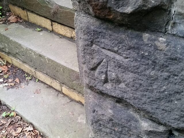
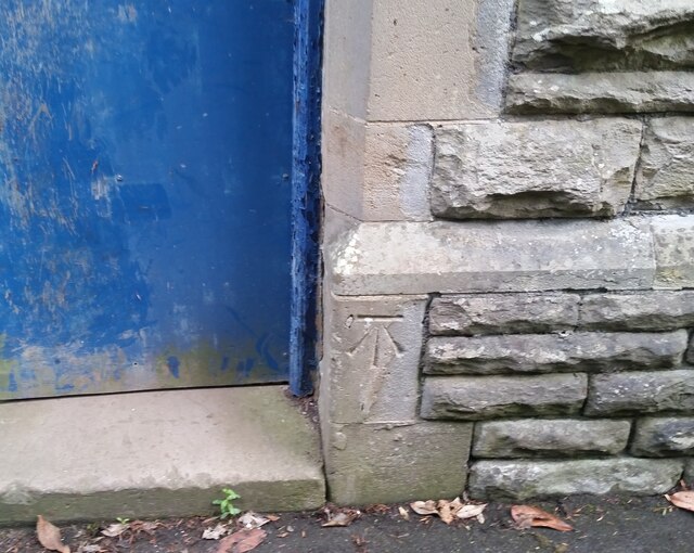
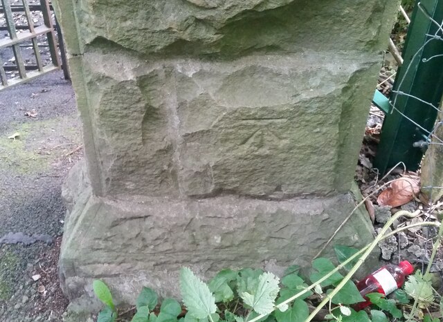
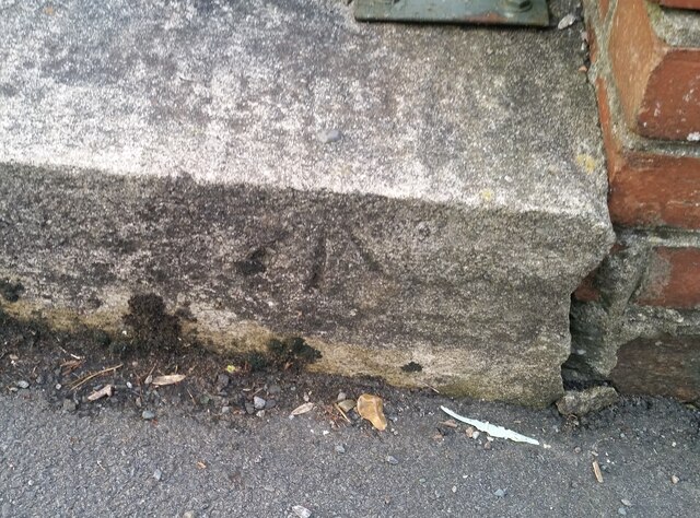
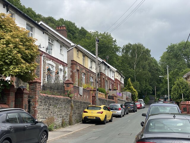
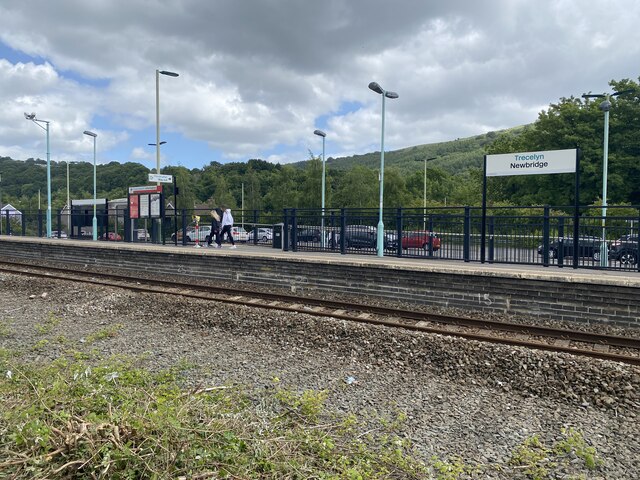
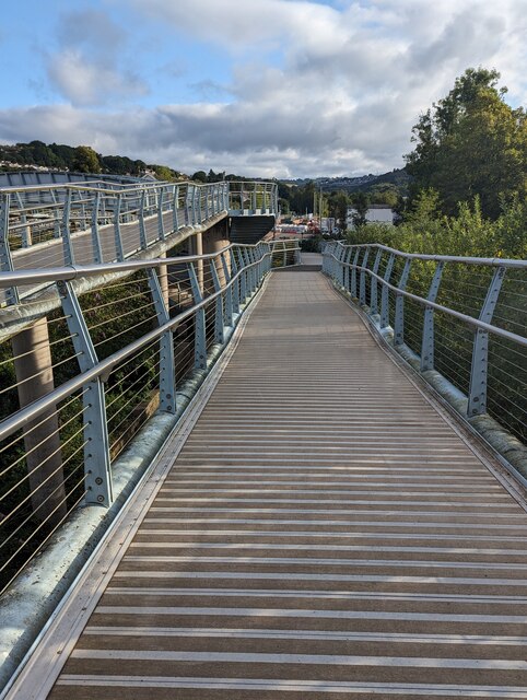
Coed Poeth Images
Images are sourced within 2km of 51.663408/-3.1229296 or Grid Reference ST2296. Thanks to Geograph Open Source API. All images are credited.

Coed Poeth is located at Grid Ref: ST2296 (Lat: 51.663408, Lng: -3.1229296)
Unitary Authority: Caerphilly
Police Authority: Gwent
What 3 Words
///mastering.cigar.blizzard. Near Newbridge, Caerphilly
Nearby Locations
Related Wikis

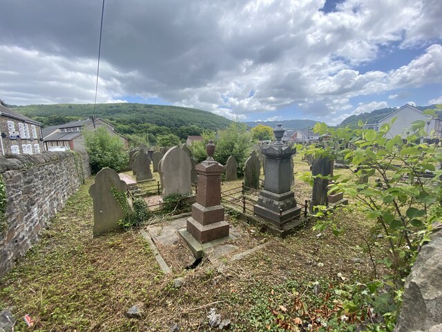
Newbridge, Caerphilly
Newbridge (Welsh: Trecelyn) is a town and community in the county borough of Caerphilly, south Wales. It lies within the historic boundaries of the county...

Pwll-y-Pant railway station
Pwll-y-Pant railway station served the suburb of Pwll-y-Pant, in the historical county of Glamorgan, Wales, from 1871 to 1893 on the Rhymney Railway....

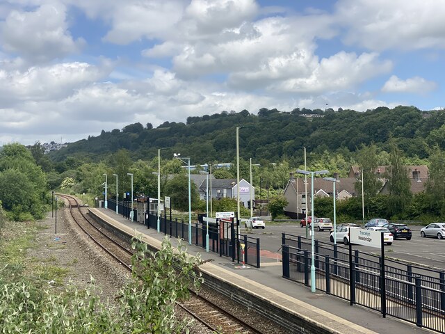
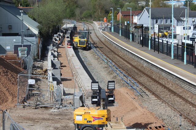
Newbridge railway station (Wales)
Newbridge railway station (Welsh: Trecelyn) is on the Ebbw Valley Railway and serves the towns of Newbridge and Blackwood in south east Wales. The current...
Celynen North Halt railway station
Celynen North Halt railway station served the town of Abercarn, in the historical county of Glamorganshire, from 1936 to 1962 on the Monmouthshire Railway...
Have you been to Coed Poeth?
Leave your review of Coed Poeth below (or comments, questions and feedback).