Coed Prysg

Wood, Forest in Monmouthshire

Wales

Coed Prysg

Ordnance Survey Cut Mark This OS cut mark can be found on the mortuary at Abercarn Cemetery. It marks a point 171.724m above mean sea level.
Ordnance Survey Cut Mark Credit: Adrian Dust

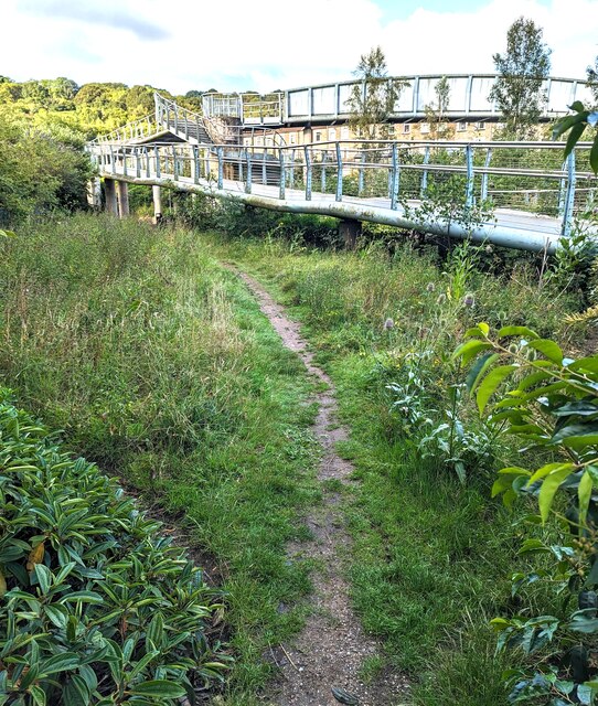
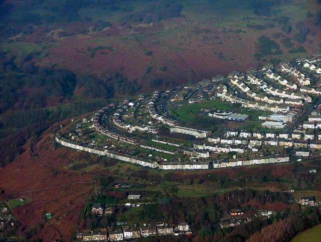
Coed Prysg, located in Monmouthshire, Wales, is a picturesque woodland area that spans over 350 hectares. The name "Coed Prysg" translates to "Wood, Forest" in English, perfectly capturing the essence of this natural treasure.

The woodland is characterized by its ancient trees, including oak, beech, and ash, which have been standing for centuries, creating a rich and diverse ecosystem. The area also boasts a variety of plant species, such as bluebells, wild garlic, and ferns, adding to its natural beauty.

Coed Prysg is not only visually stunning but also home to a wide range of wildlife. Visitors might encounter red kites soaring through the sky, badgers exploring the undergrowth, or even the elusive otters playing along the riverbanks. Birdwatchers will be delighted by the presence of woodpeckers, buzzards, and a chorus of songbirds.

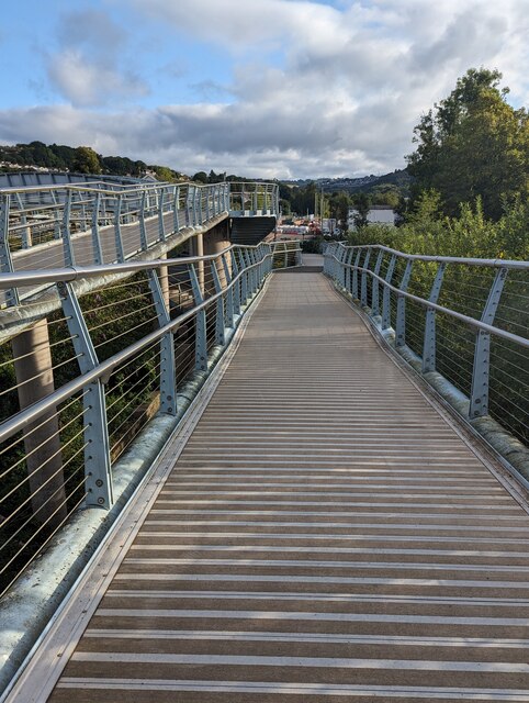
The woodland offers an array of activities for nature enthusiasts. There are numerous walking trails, ranging from leisurely strolls to more challenging hikes, allowing visitors to fully immerse themselves in the tranquil surroundings. Coed Prysg also features a designated picnic area, providing a perfect spot for a relaxing outdoor lunch.

Managed by the Forestry Commission, Coed Prysg is committed to conservation and sustainable forestry practices. The woodland serves as an educational resource, offering guided tours and workshops to raise awareness about the importance of preserving our natural heritage.

In summary, Coed Prysg is a magical woodland retreat in Monmouthshire, offering breathtaking scenery, diverse wildlife, and a chance to reconnect with nature. Whether for a peaceful walk, a family picnic, or a learning experience, this enchanting forest provides a haven for all who visit.

If you have any feedback on the listing, please let us know in the comments section below.
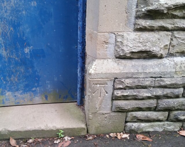
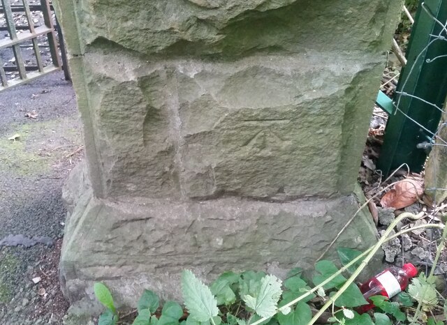
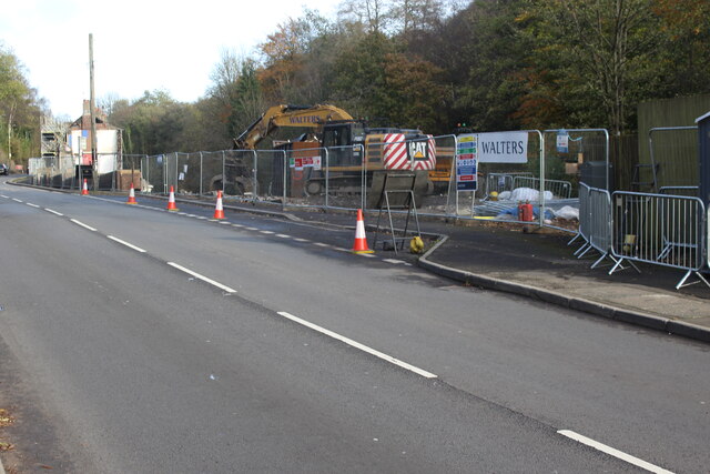
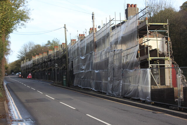
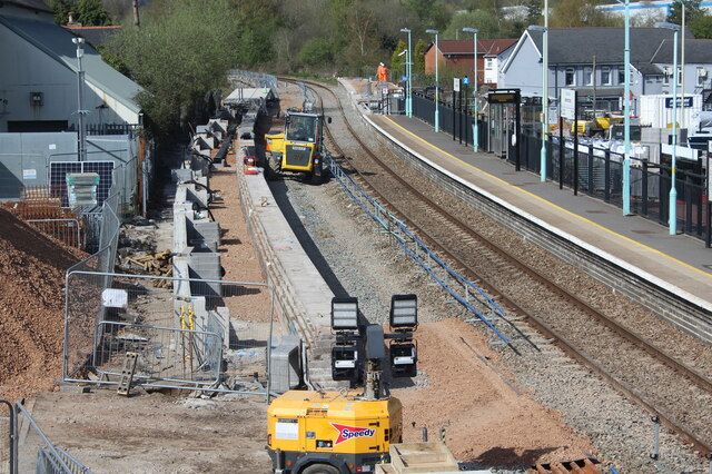
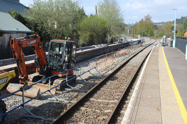
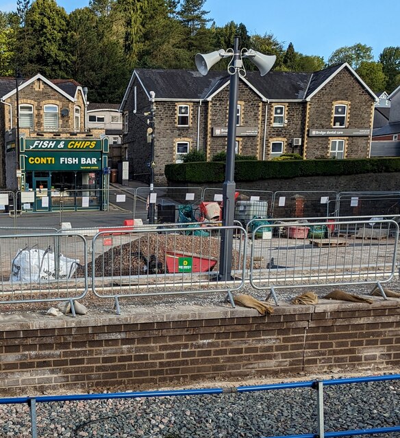
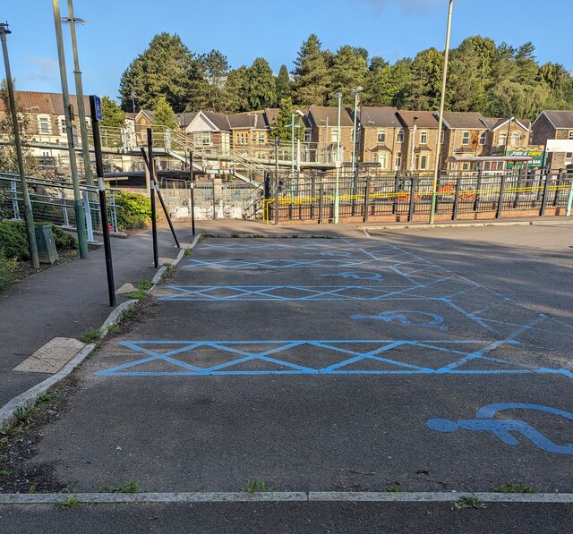
Coed Prysg Images

Images are sourced within 2km of 51.66632/-3.1183456 or Grid Reference ST2296. Thanks to Geograph Open Source API. All images are credited.

Ordnance Survey Cut Mark This OS cut mark can be found on the mortuary at Abercarn Cemetery. It marks a point 171.724m above mean sea level.
Ordnance Survey Cut Mark
This OS cut mark can be found on the mortuary at Abercarn Cemetery. It marks a point 171.724m above mean sea level.
Ordnance Survey Cut Mark This OS cut mark can be found on the gatepost of Abercarn Cemetery on Cemetery Road. It marks a point 195.499m above mean sea level.
Ordnance Survey Cut Mark
This OS cut mark can be found on the gatepost of Abercarn Cemetery on Cemetery Road. It marks a point 195.499m above mean sea level.
Demolition site, Hafod-yr-Ynys Road A row of houses has begun to be demolished because of the high concentration of nitrogen dioxide in the air. The remaining houses on Woodside Terrace, all purchased by Caerphilly Council, will all be demolished
Demolition site, Hafod-yr-Ynys Road
A row of houses has begun to be demolished because of the high concentration of nitrogen dioxide in the air. The remaining houses on Woodside Terrace, all purchased by Caerphilly Council, will all be demolished
Houses ready for demolition, Hafod-yr-Ynys Road Row of terraced houses due to be demolished because of the high concentration of nitrogen dioxide in the air in the 'street canyon' in the valley. The green cabinet next to the telegraph pole houses the monitor of air pollutants.
Houses ready for demolition, Hafod-yr-Ynys Road
Row of terraced houses due to be demolished because of the high concentration of nitrogen dioxide in the air in the 'street canyon' in the valley. The green cabinet next to the telegraph pole houses the monitor of air pollutants.
House demolition site, Hafod-yr-Ynys Road All the houses on Woodside Terrace, purchased by Caerphilly Council, will be demolished because of severe air pollution on this busy cross-valley A road.
House demolition site, Hafod-yr-Ynys Road
All the houses on Woodside Terrace, purchased by Caerphilly Council, will be demolished because of severe air pollution on this busy cross-valley A road.
Newbridge Railway Station
Shops in Victoria Terrace, Newbridge
Beulah Baptist Cemetery in Newbridge
KLA Dance Studio Formerly Beulah Baptist Church, Newbridge.
KLA Dance Studio
Formerly Beulah Baptist Church, Newbridge.
Construction of platform, Newbridge Railway Station New platform, west rail, prior to dualling of the Ebbw Valley line between Crosskeys and Aberbeeg; the line was closed for a week for works at various places along the line. Compare with view in June 2022 - <a href="https://www.geograph.org.uk/photo/7200007">ST2196 : Newbridge Railway Station</a>.
Construction of platform, Newbridge Railway Station
New platform, west rail, prior to dualling of the Ebbw Valley line between Crosskeys and Aberbeeg; the line was closed for a week for works at various places along the line. Compare with view in June 2022 - ST2196 : Newbridge Railway Station.
Construction work at Newbridge Railway Station A new platform is being built <a href="https://www.geograph.org.uk/photo/7473016">ST2196 : Construction of platform, Newbridge Railway Station</a> ready for dualling of part of the Ebbw Valley line
Construction work at Newbridge Railway Station
A new platform is being built ST2196 : Construction of platform, Newbridge Railway Station ready for dualling of part of the Ebbw Valley line
Conti Fish Bar, High Street, Newbridge Fish & chips shop viewed from Newbridge railway station in July 2023.
Conti Fish Bar, High Street, Newbridge
Fish & chips shop viewed from Newbridge railway station in July 2023.
Blue marked part of Newbridge railway station car park Reserved for the vehicles of Blue Badge holders.
Blue marked part of Newbridge railway station car park
Reserved for the vehicles of Blue Badge holders.
Track through grass, Newbridge Newbridge railway station is behind the camera.
Track through grass, Newbridge
Newbridge railway station is behind the camera.
Ramp descending towards Newbridge railway station car park
Yellow Flannery excavator, Newbridge In July 2023 work is in progress on creating a second track
and second platform at Newbridge station behind the camera.
Yellow Flannery excavator, Newbridge
In July 2023 work is in progress on creating a second track and second platform at Newbridge station behind the camera.
Northern end of Ebbw View Terrace, Newbridge The building on the right is on the corner of High Street.
Northern end of Ebbw View Terrace, Newbridge
The building on the right is on the corner of High Street.
Show me another place!

Coed Prysg is located at Grid Ref: ST2296 (Lat: 51.66632, Lng: -3.1183456)

Unitary Authority: Caerphilly

Police Authority: Gwent

What 3 Words

///camcorder.airship.fled. Near Newbridge, Caerphilly

Related Wikis

Newbridge, Caerphilly

Newbridge (Welsh: Trecelyn) is a town and community in the county borough of Caerphilly, south Wales. It lies within the historic boundaries of the county...

Pwll-y-Pant railway station

Pwll-y-Pant railway station served the suburb of Pwll-y-Pant, in the historical county of Glamorgan, Wales, from 1871 to 1893 on the Rhymney Railway....

Celynen North Halt railway station

Celynen North Halt railway station served the town of Abercarn, in the historical county of Glamorganshire, from 1936 to 1962 on the Monmouthshire Railway...

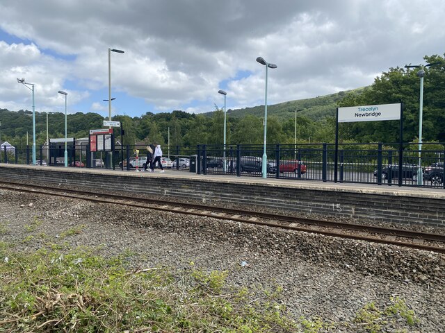
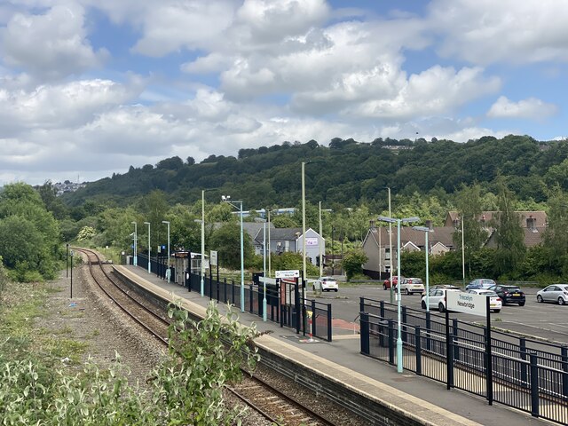
Newbridge railway station (Wales)

Newbridge railway station (Welsh: Trecelyn) is on the Ebbw Valley Railway and serves the towns of Newbridge and Blackwood in south east Wales. The current...

Ebbw Valley Railway

The Ebbw Valley Railway (Welsh: Rheilffordd Cwm Ebwy) is a branch line of the South Wales Main Line in South Wales. Transport for Wales Rail provides an...

Hafodyrynys Platform railway station

Hafodyrynys Platform railway station was a station on the former Taff Vale Extension of the Newport, Abergavenny and Hereford Railway. It served the village...

Hafodyrynys

Hafodyrynys is a village on the A472 road between Pontypool and Crumlin in Caerphilly county borough, south-east Wales. It lies within the historic boundaries...

Crumlin, Caerphilly

Crumlin (Welsh: Crymlyn) is a town, community and electoral ward in Caerphilly county borough in South Wales. It is situated in the Ebbw River valley,...

Have you been to Coed Prysg?

Leave your review of Coed Prysg below (or comments, questions and feedback).