Coed y Cwar
Wood, Forest in Monmouthshire
Wales
Coed y Cwar
The requested URL returned error: 429 Too Many Requests
If you have any feedback on the listing, please let us know in the comments section below.
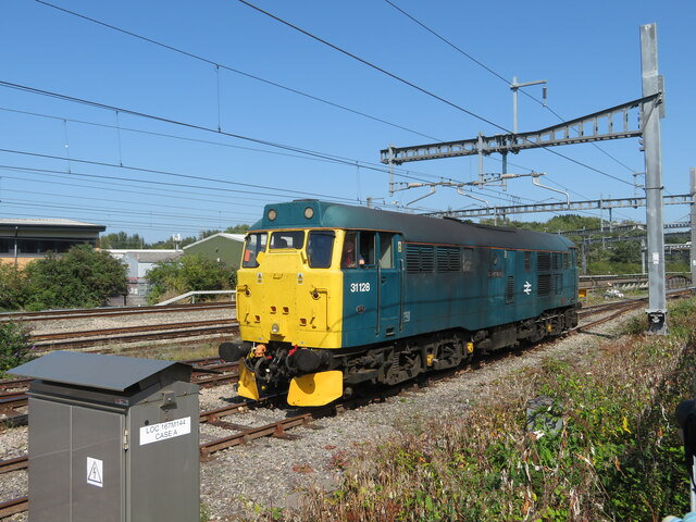
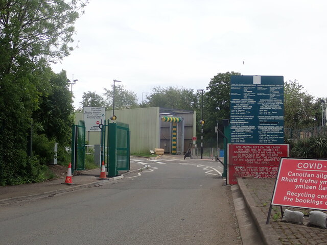
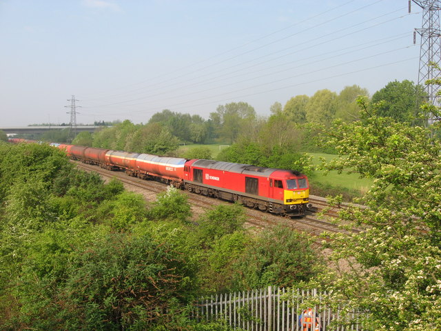
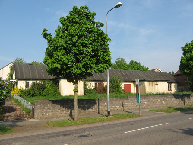
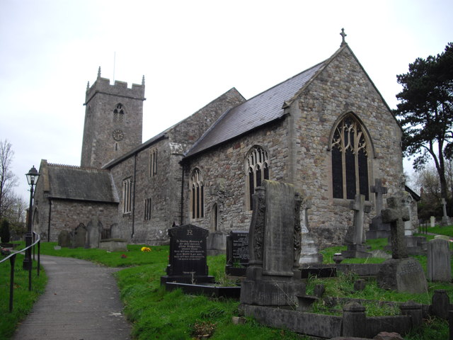
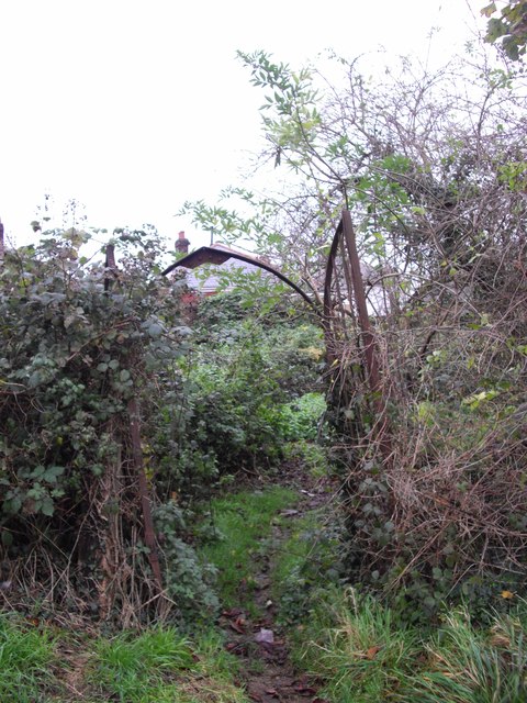
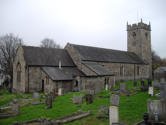
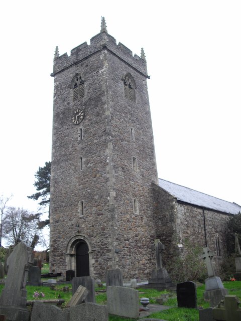
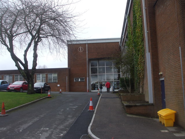
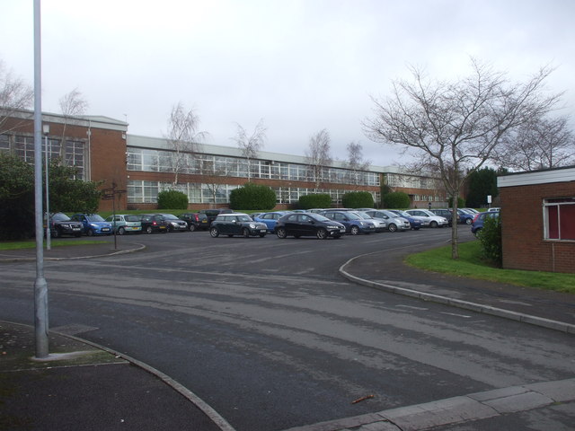
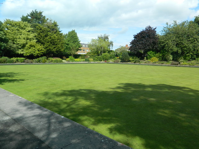
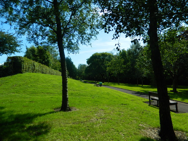
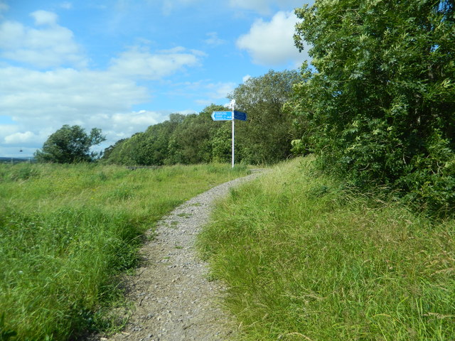
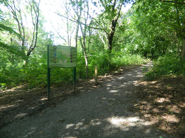
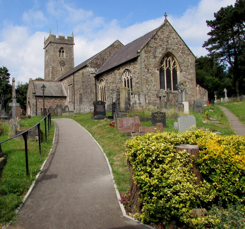
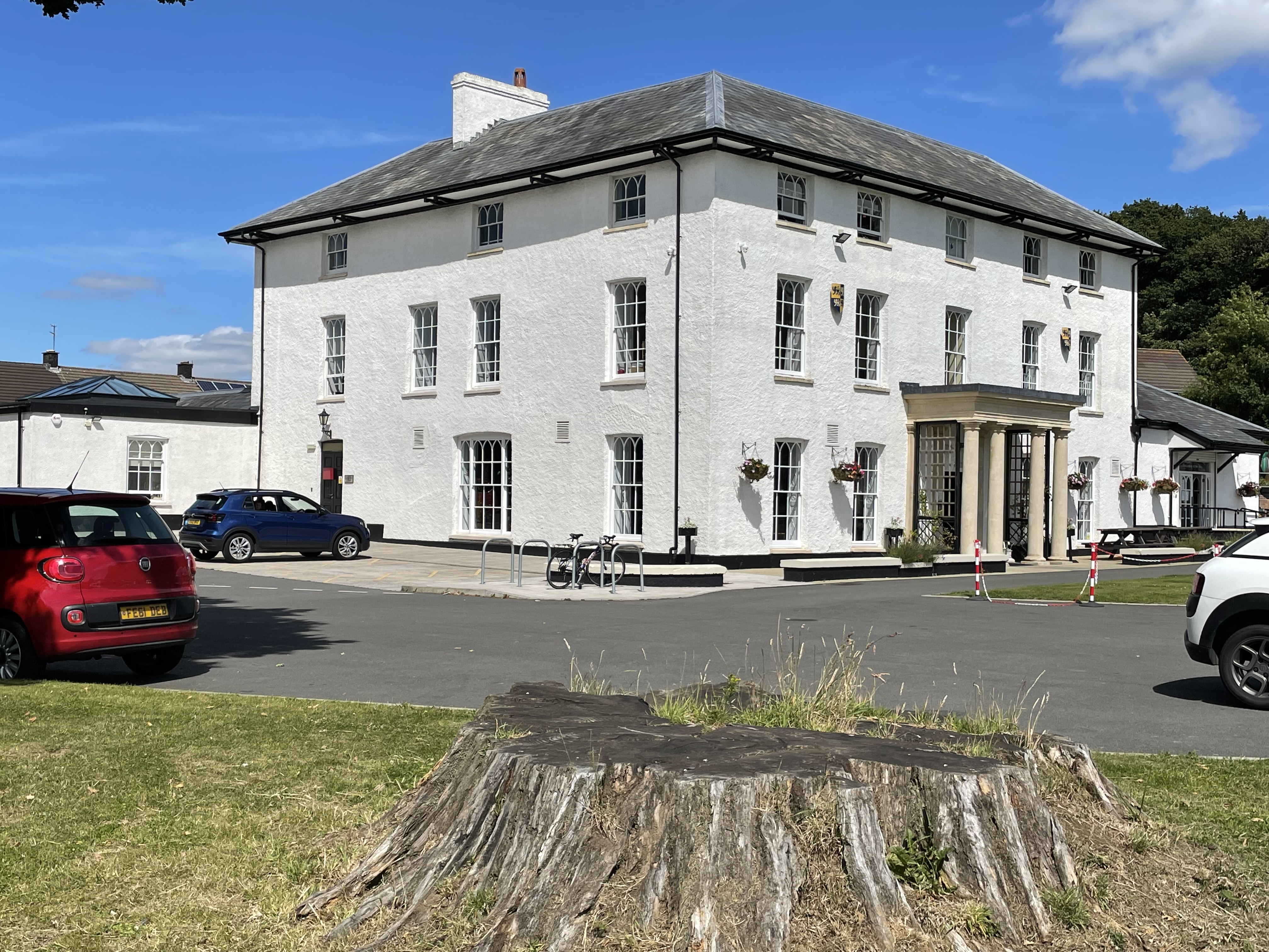
Coed y Cwar Images
Images are sourced within 2km of 51.514032/-3.1346861 or Grid Reference ST2180. Thanks to Geograph Open Source API. All images are credited.


Coed y Cwar is located at Grid Ref: ST2180 (Lat: 51.514032, Lng: -3.1346861)
Unitary Authority: Cardiff
Police Authority: South Wales
What 3 Words
///scope.riders.voice. Near Marshfield, Newport
Nearby Locations
Related Wikis
Rumney, Cardiff
Rumney (Welsh: Tredelerch) is a district and community in the east of the city of Cardiff, Wales. It lies east of the Rhymney River, and is historically...
Llanrumney Hall
Llanrumney Hall (Welsh: Neuadd Llanrhymnu) is Grade II* listed building in Llanrumney, Cardiff, Wales. The Elizabethan mansion was built in 1450, rebuilt...

Llanedeyrn High School
Llanedeyrn High School (Welsh: Ysgol Uwchradd Llanedeyrn) was an 11–16 mixed, community comprehensive school in Llanedeyrn, Cardiff, Wales. It was established...
Rumney High School
Rumney High School was an English medium co-educational, community school in the Rumney area of Cardiff, Wales. The school served the communities of Rumney...
Nearby Amenities
Located within 500m of 51.514032,-3.1346861Have you been to Coed y Cwar?
Leave your review of Coed y Cwar below (or comments, questions and feedback).