Llanrumney
Community in Monmouthshire
Wales
Llanrumney
The requested URL returned error: 429 Too Many Requests
If you have any feedback on the listing, please let us know in the comments section below.
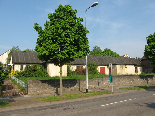
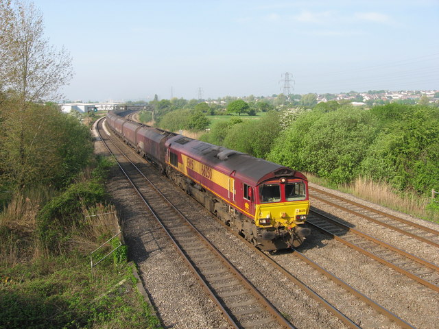
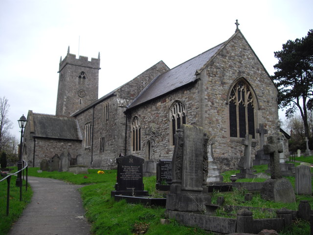
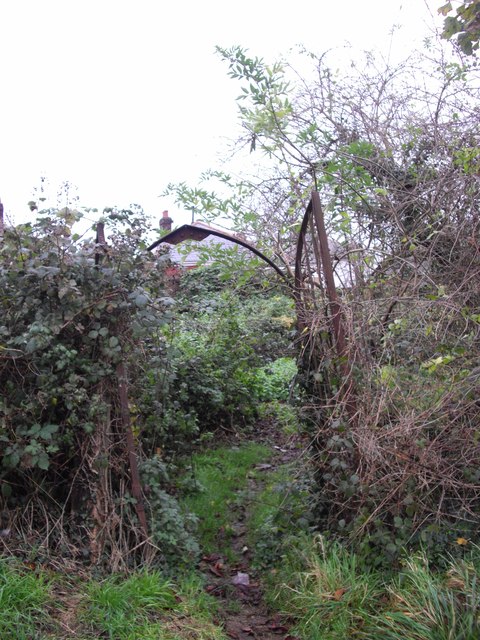
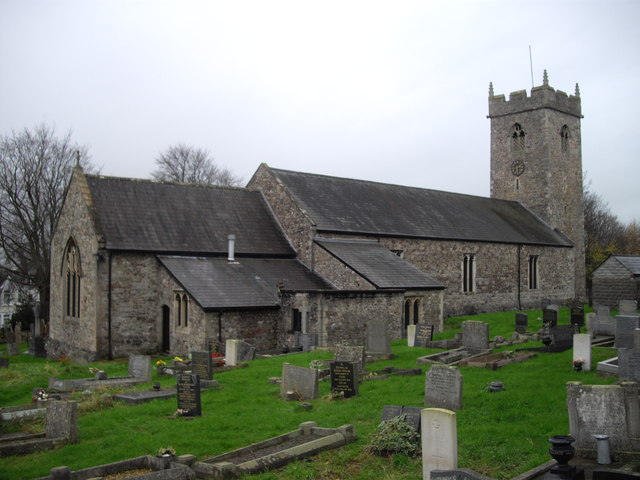
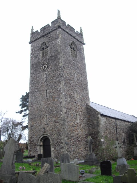
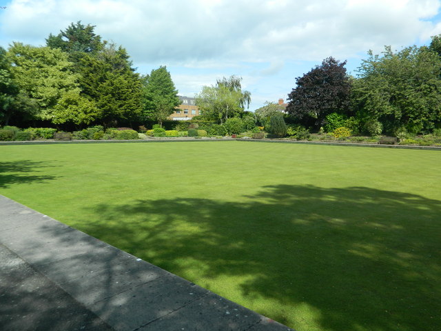
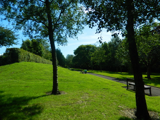
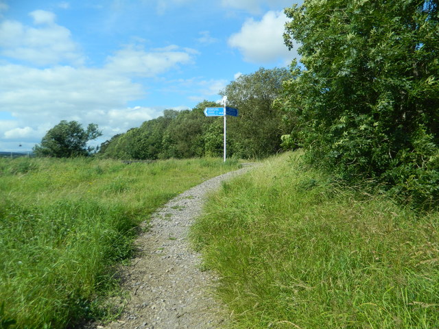
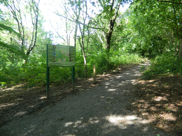
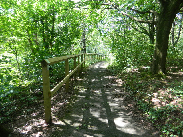
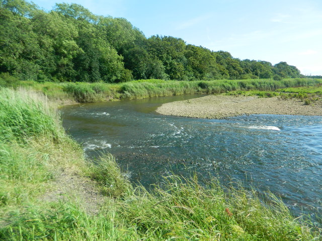
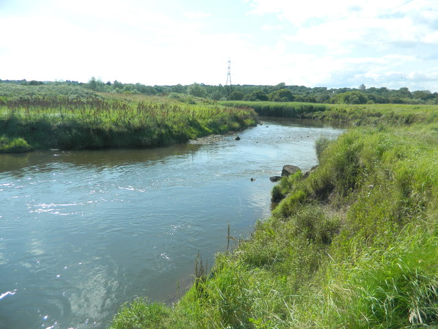
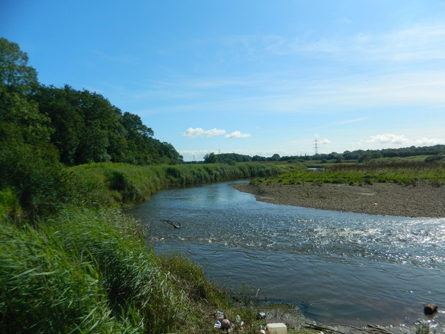
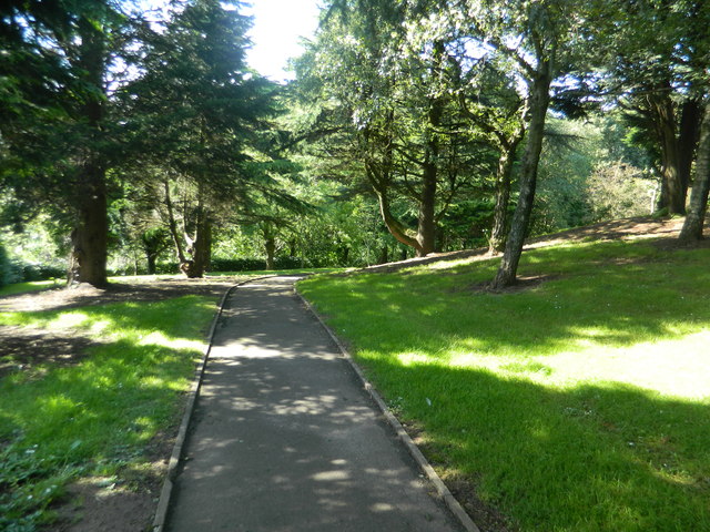
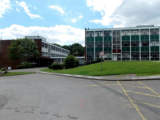
Llanrumney Images
Images are sourced within 2km of 51.5189/-3.128563 or Grid Reference ST2180. Thanks to Geograph Open Source API. All images are credited.


Llanrumney is located at Grid Ref: ST2180 (Lat: 51.5189, Lng: -3.128563)
Unitary Authority: Cardiff
Police Authority: South Wales
Also known as: Llanrhymni
What 3 Words
///enjoy.leaned.chest. Near Marshfield, Newport
Nearby Locations
Related Wikis
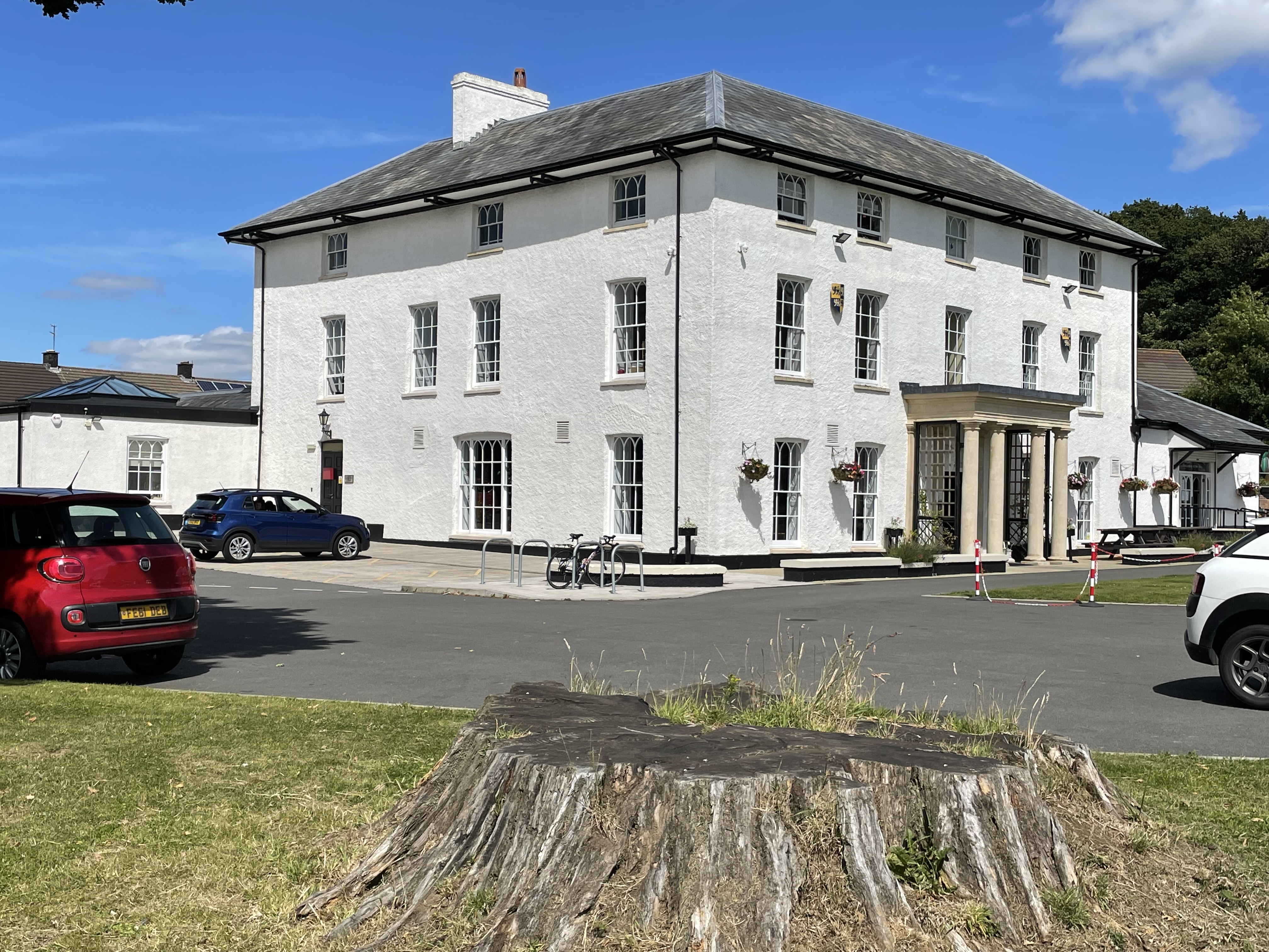
Llanrumney Hall
Llanrumney Hall (Welsh: Neuadd Llanrhymnu) is Grade II* listed building in Llanrumney, Cardiff, Wales. The Elizabethan mansion was built in 1450, rebuilt...

Llanrumney
Llanrumney (Welsh: Llanrhymni) is a suburb, community and electoral ward in east Cardiff, Wales. Llanrumney was in Monmouthshire until it was incorporated...

Rumney High School
Rumney High School was an English medium co-educational, community school in the Rumney area of Cardiff, Wales. The school served the communities of Rumney...
Caer Castell Camp
Caer Castell Camp, also known as Caer Castell Ring Motte, is a medieval motte and ditch in Rumney in Cardiff, Wales, which is a scheduled monument. �...
Nearby Amenities
Located within 500m of 51.5189,-3.128563Have you been to Llanrumney?
Leave your review of Llanrumney below (or comments, questions and feedback).