Planhigfa Cwm-Sycharth
Wood, Forest in Denbighshire
Wales
Planhigfa Cwm-Sycharth
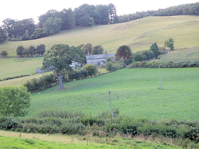
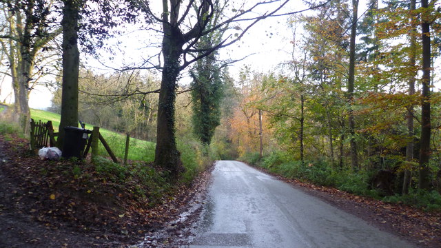
Planhigfa Cwm-Sycharth is a picturesque woodland located in the county of Denbighshire, Wales. Situated near the village of Cwm-Sycharth, this woodland covers an area of approximately 100 acres and is known for its natural beauty and rich biodiversity.
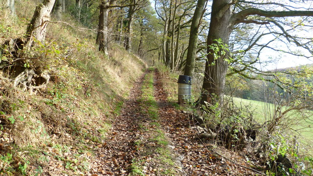
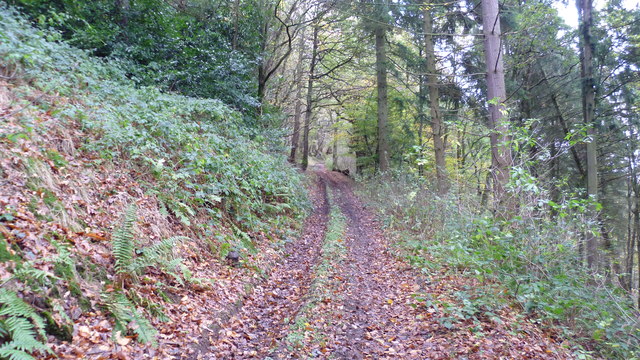
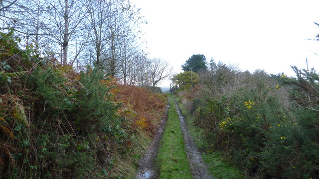
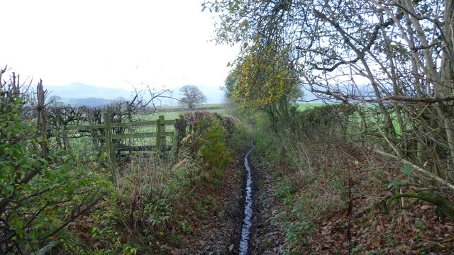
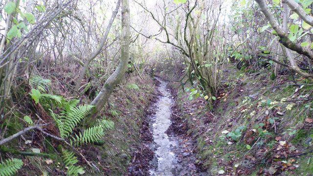
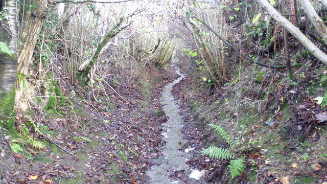
The woodland is characterized by its dense canopy of trees, mainly consisting of oak, beech, and ash. These towering trees provide a tranquil and serene environment, making it a popular destination for nature lovers and hikers. The forest floor is covered in a blanket of moss, ferns, and wildflowers, adding to its enchanting atmosphere.
Planhigfa Cwm-Sycharth is home to a wide variety of wildlife, including birds, mammals, and insects. Birdwatchers can spot species such as woodpeckers, owls, and various songbirds. Squirrels, badgers, and rabbits are also frequently seen within the woodland.
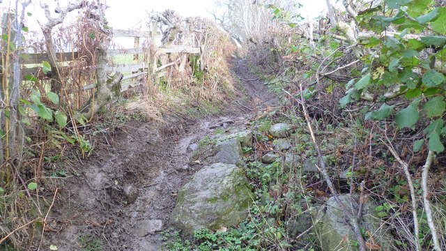
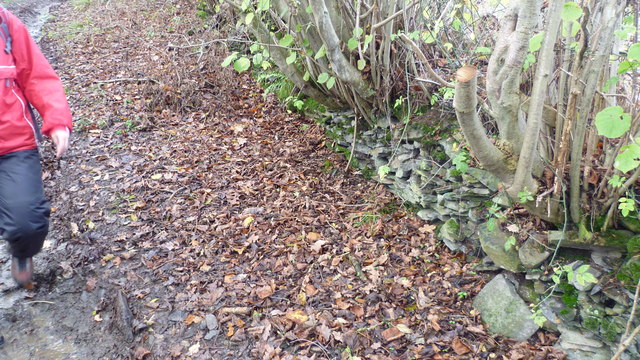
The woodland offers several walking trails that meander through its lush greenery, providing visitors with an opportunity to explore the natural wonders it has to offer. These trails range from easy to moderate difficulty, ensuring that visitors of all ages and abilities can enjoy the beauty of the woodland.
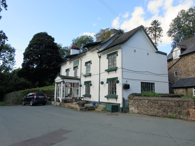
In addition to its natural attractions, Planhigfa Cwm-Sycharth also holds historical significance. It is believed that the woodland was once part of a medieval hunting ground, and remnants of a hunting lodge can still be seen within its boundaries.
Overall, Planhigfa Cwm-Sycharth is a captivating woodland that combines natural beauty with historical significance. Its lush vegetation, diverse wildlife, and well-maintained trails make it a perfect destination for outdoor enthusiasts seeking solace in nature.
If you have any feedback on the listing, please let us know in the comments section below.
Planhigfa Cwm-Sycharth Images
Images are sourced within 2km of 52.821435/-3.1794177 or Grid Reference SJ2025. Thanks to Geograph Open Source API. All images are credited.


Planhigfa Cwm-Sycharth is located at Grid Ref: SJ2025 (Lat: 52.821435, Lng: -3.1794177)
Unitary Authority: Powys
Police Authority: Dyfed Powys
What 3 Words
///amending.funds.shipwreck. Near Llanfechain, Powys
Related Wikis

Sycharth
Sycharth was a motte and bailey castle near Llansilin, Powys, Wales. Until 1996 Sycharth was in the historic county of Denbighshire, but was then transferred...

Abercynllaith
Abercynllaith, also sometimes referred to as Aberkenllith, is a hamlet, between Llangedwyn and Pen-y-bont in northeastern Powys, Wales. It lies to the...

Llansilin Road railway station
Llansilin Road railway station was a station on the Tanat Valley Light Railway in Llangedwyn, Powys, Wales. It had the "Road" suffix due to being 3 miles...
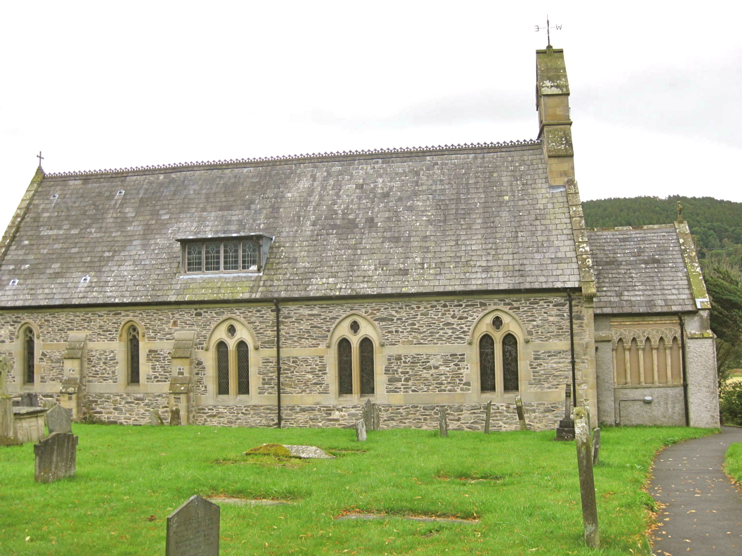
St Cedwyn's Church, Llangedwyn
St Cedwyn's Church at Llangedwyn was formerly in the historic county of Denbighshire but since 1996 has been within the Montgomeryshire Shire Area of Powys...
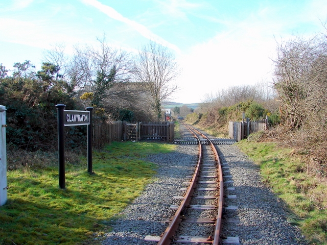
Glanyrafon Halt railway station
Glanyrafon Halt railway station was a station on the Tanat Valley Light Railway, located a mile west of Llanyblodwel, Shropshire, England on the south...

Llangedwyn
Llangedwyn is a village in Montgomeryshire, Powys, Wales. The population of the community at the 2011 census was 402. The community includes the hamlet...
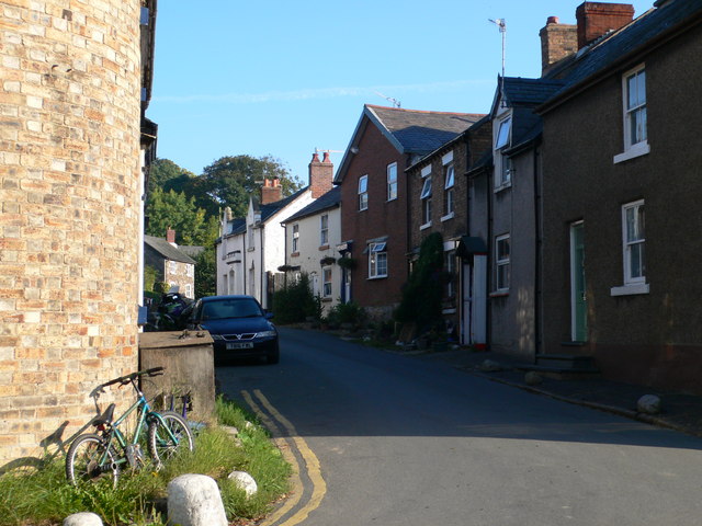
Llansilin
Llansilin () is a village and local government community in Montgomeryshire, Powys, Wales, 5 miles (8 km) west of Oswestry. The community, which includes...

St Silin's Church, Llansilin
St Silin's Church is a Church in Wales parish church in Llansilin, Powys, Wales. The present building, which has parts dating back to the 13th century...
Nearby Amenities
Located within 500m of 52.821435,-3.1794177Have you been to Planhigfa Cwm-Sycharth?
Leave your review of Planhigfa Cwm-Sycharth below (or comments, questions and feedback).