Maestorglwyd Wood

Wood, Forest in Brecknockshire

Wales

Maestorglwyd Wood

Foothills of the Black Mountains This lane leads the eye over the 1000' foothills to the Black Mountain scarp overlooking the Wye valley. Rhos Dirion, flat-topped, in the distance, is over 2300'
Foothills of the Black Mountains Credit: Jonathan Billinger

The requested URL returned error: 429 Too Many Requests

If you have any feedback on the listing, please let us know in the comments section below.

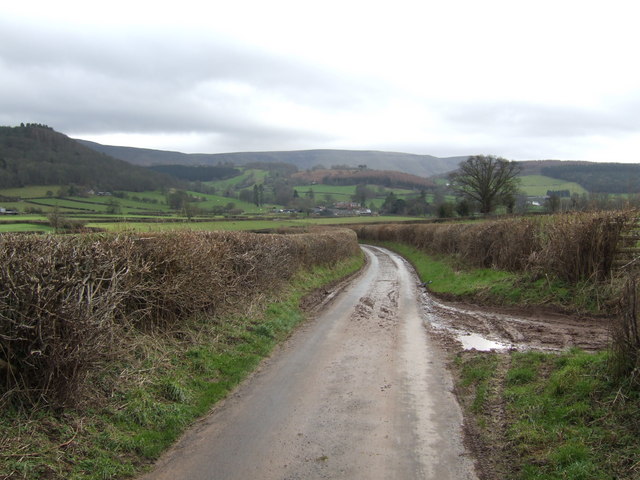
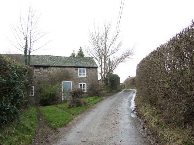
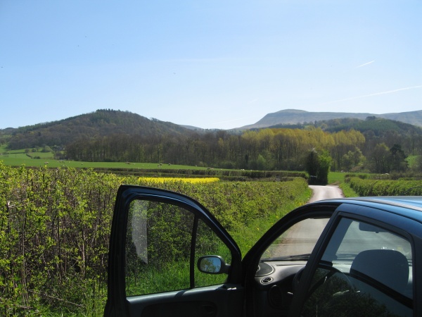
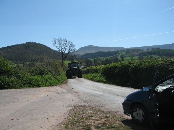
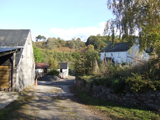
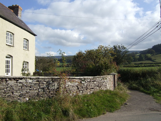
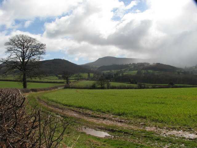
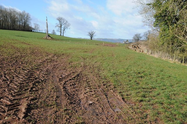
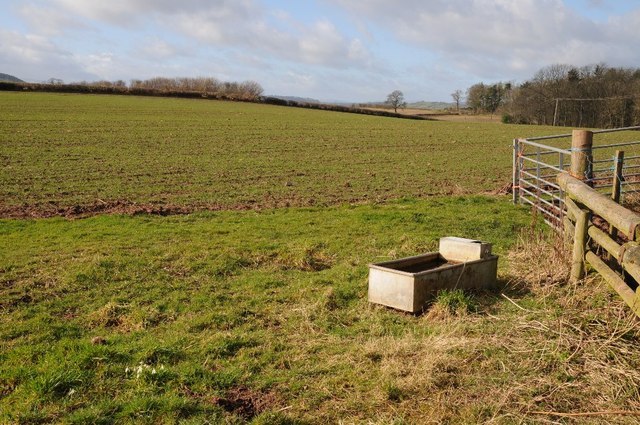
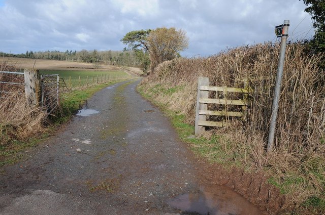
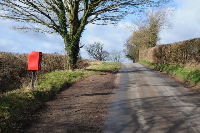
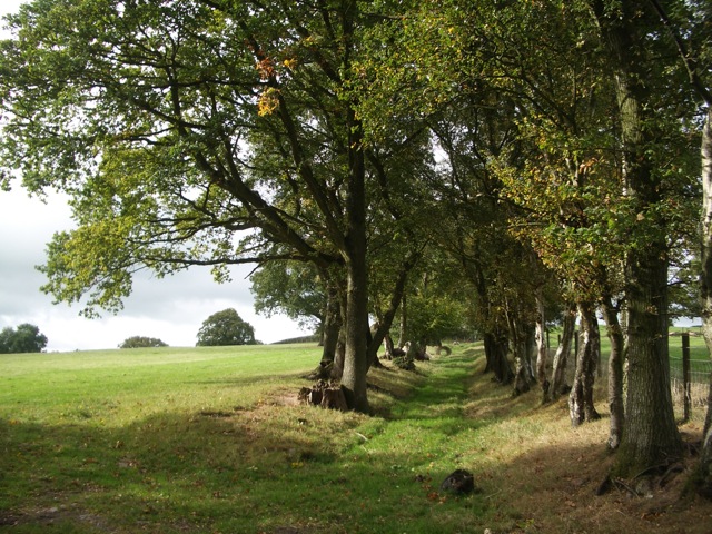
Maestorglwyd Wood Images

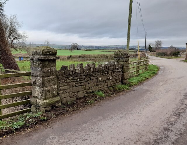
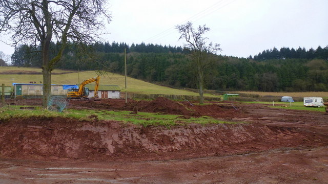
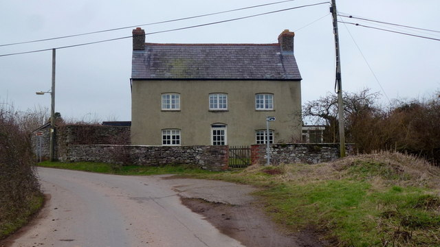
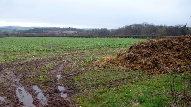
Images are sourced within 2km of 52.031501/-3.1584854 or Grid Reference SO2037. Thanks to Geograph Open Source API. All images are credited.

Foothills of the Black Mountains This lane leads the eye over the 1000' foothills to the Black Mountain scarp overlooking the Wye valley. Rhos Dirion, flat-topped, in the distance, is over 2300'
Foothills of the Black Mountains
This lane leads the eye over the 1000' foothills to the Black Mountain scarp overlooking the Wye valley. Rhos Dirion, flat-topped, in the distance, is over 2300'
Cottage at Heol-y-gaer By the lane heading west towards Glasbury.
Cottage at Heol-y-gaer
By the lane heading west towards Glasbury.
Mechanical Contours in Landscape Looking south into the Black Mountains of South-east Wales
Mechanical Contours in Landscape
Looking south into the Black Mountains of South-east Wales
Discretion vs Valour... Tractor from Tregoyd meets tourists from Big City...
Hay Bluff (676 metres) on left and Lord Hereford's Knob (690 metres) on right, lie not quite 3 miles distant.
Discretion vs Valour...
Tractor from Tregoyd meets tourists from Big City... Hay Bluff (676 metres) on left and Lord Hereford's Knob (690 metres) on right, lie not quite 3 miles distant.
Pen-y-lan The farm is tucked into the lower slopes of the Black Mountains between Hay and Talgarth.
Pen-y-lan
The farm is tucked into the lower slopes of the Black Mountains between Hay and Talgarth.
Groes ffordd A house near Velindre. The byway heads east in the general direction of Twmpa.
Groes ffordd
A house near Velindre. The byway heads east in the general direction of Twmpa.
Blustery winter weather over the Brecknock countryside View towards Lord Hereford's Knob as a squall approaches through the winter sunshine
Blustery winter weather over the Brecknock countryside
View towards Lord Hereford's Knob as a squall approaches through the winter sunshine
Ordnance Survey Rivet This damaged OS rivet can be found on the SE parapet of Pont Cwrt-yr-argoed. It marks a point 154.765m above mean sea level.
Ordnance Survey Rivet
This damaged OS rivet can be found on the SE parapet of Pont Cwrt-yr-argoed. It marks a point 154.765m above mean sea level.
Tregoed Bridge
Tregoed Bridge
Track to farm buildings Track to farm buildings near Tregoyd.
Track to farm buildings
Track to farm buildings near Tregoyd.
Freshly cut field, Tregoyd A very recently mown field near Tregoyd House.  To the right is an elder in flower.
Freshly cut field, Tregoyd
A very recently mown field near Tregoyd House. To the right is an elder in flower.
Earthmoving at Newcourt Showing well the bright red soil of these parts.
Earthmoving at Newcourt
Showing well the bright red soil of these parts.
Groes ffordd Large house by the lane to Tregoyd Mill.
Groes ffordd
Large house by the lane to Tregoyd Mill.
Arable land in sheep country Softer, lower topography and fertile soils equals a good crop of rape?
Arable land in sheep country
Softer, lower topography and fertile soils equals a good crop of rape?
Farmland above Glasbury Field near Heol-y-gaer above Glasbury.
Farmland above Glasbury
Field near Heol-y-gaer above Glasbury.
A livestock drinking tank Farmland and a livestock drinking tank in a field near Tregoyd.
A livestock drinking tank
Farmland and a livestock drinking tank in a field near Tregoyd.
Track and footpath Track and footpath to Allt y Frân.
Track and footpath
Track and footpath to Allt y Frân.
Lonely postbox Lonely postbox beside a country road between Tregpyd and Three Cocks/Aberllynfi.
Lonely postbox
Lonely postbox beside a country road between Tregpyd and Three Cocks/Aberllynfi.
Show me another place!

Maestorglwyd Wood is located at Grid Ref: SO2037 (Lat: 52.031501, Lng: -3.1584854)

Unitary Authority: Powys

Police Authority: Dyfed Powys

What 3 Words

///flies.blurs.sheds. Near Hay, Powys

Related Wikis

Gwernyfed

Gwernyfed is a community in Powys, Wales, centred on the village of Aberllynfi. It takes its name from Gwernyfed Park, a medieval deer park within the...

Llanigon

Llanigon is a village and community in Powys, Wales on the edge of the Brecon Beacons National Park, north of the Black Mountains, Wales. The community...

Afon Llynfi (Wye)

The Afon Llynfi is a short river in the county of Powys, south Wales. A tributary of the River Wye, it runs approximately south to north just to the west...

Glasbury-on-Wye railway station

Glasbury-on-Wye railway station was a station at Glasbury, Powys, Wales. The station closed in 1962.During the station's life it was in Breconshire, whereas...

Nearby Amenities

Located within 500m of 52.031501,-3.1584854
Barrier: stile
Foot: yes
Lat/Long: 52.0330093/-3.1630145
The data included in this document is from www.openstreetmap.org. The data is made available under ODbL.

Have you been to Maestorglwyd Wood?

Leave your review of Maestorglwyd Wood below (or comments, questions and feedback).