Coed Maes-y-groes
Wood, Forest in Denbighshire
Wales
Coed Maes-y-groes
Coed Maes-y-groes is a picturesque woodland located in Denbighshire, Wales. Covering an area of approximately 120 acres, it is a stunning example of the region's natural beauty. The woodland is nestled within the rolling hills and valleys of the Clwydian Range, a designated Area of Outstanding Natural Beauty.
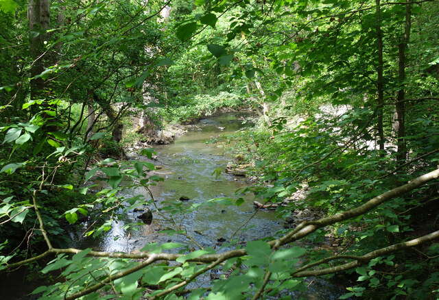
The forest primarily consists of native broadleaf trees such as oak, beech, and birch, providing a diverse habitat for numerous species of flora and fauna. The rich biodiversity of Coed Maes-y-groes makes it a haven for wildlife enthusiasts and nature lovers alike. Visitors can spot various bird species, including woodpeckers and owls, as well as small mammals like squirrels and foxes.
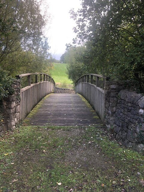
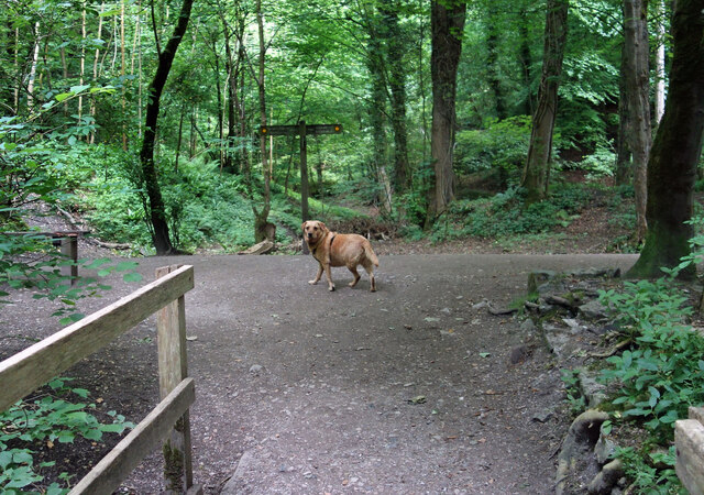
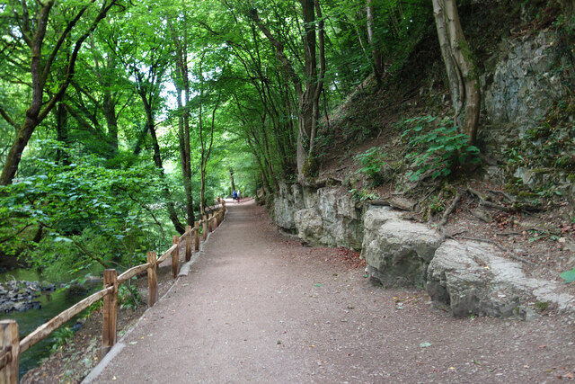
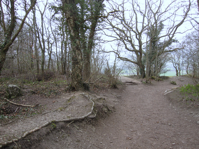
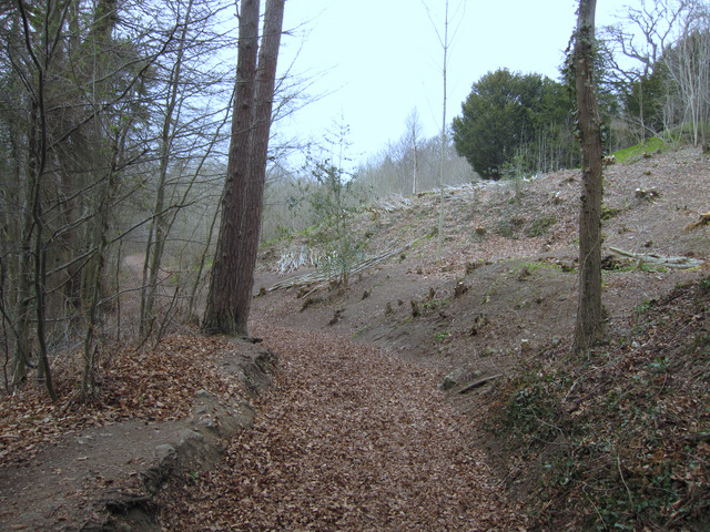
The woodland offers several walking trails and paths, allowing visitors to explore its hidden gems. One of the most popular routes is the circular trail that takes visitors through the heart of the forest, offering breathtaking views of the surrounding countryside. Along the way, hikers can enjoy the tranquility of the woodland and discover beautiful wildflowers, vibrant fungi, and ancient trees.
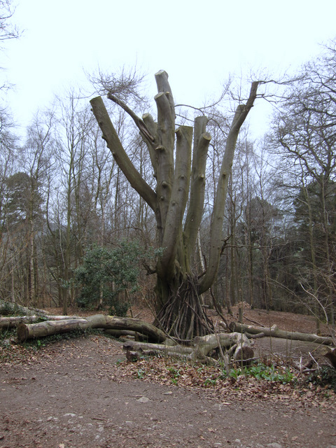
Coed Maes-y-groes also holds significant historical importance. It is believed that the woodland was once part of a larger medieval deer park, as evidenced by the presence of ancient earthworks and boundary markers. The forest's rich history adds an extra layer of intrigue to visitors exploring its depths.
Overall, Coed Maes-y-groes is a captivating woodland that combines natural beauty, biodiversity, and historical significance. It offers a peaceful retreat for nature enthusiasts and a chance to immerse oneself in the stunning landscapes of Denbighshire.
If you have any feedback on the listing, please let us know in the comments section below.
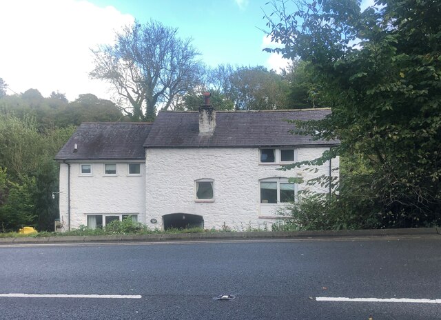
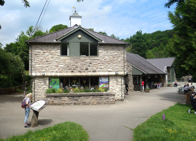
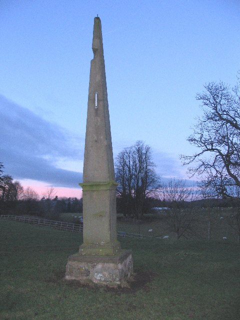
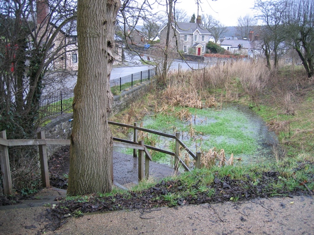
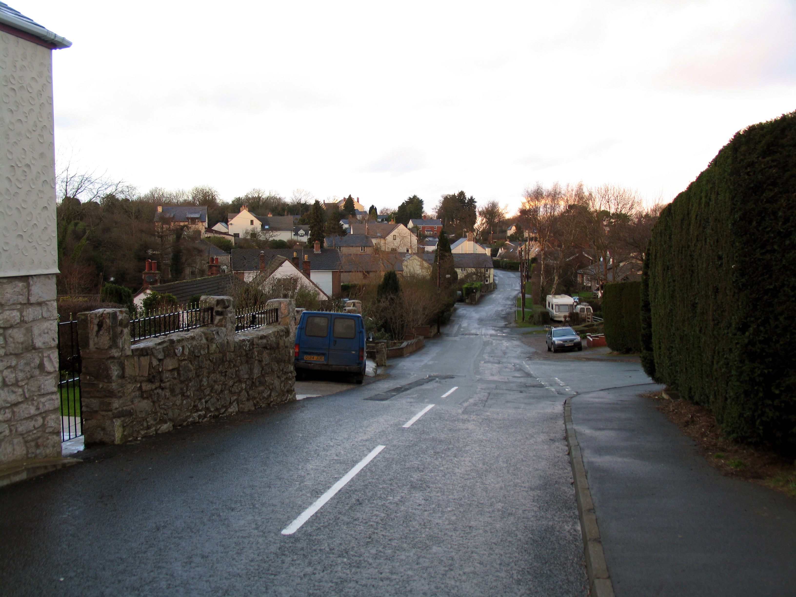
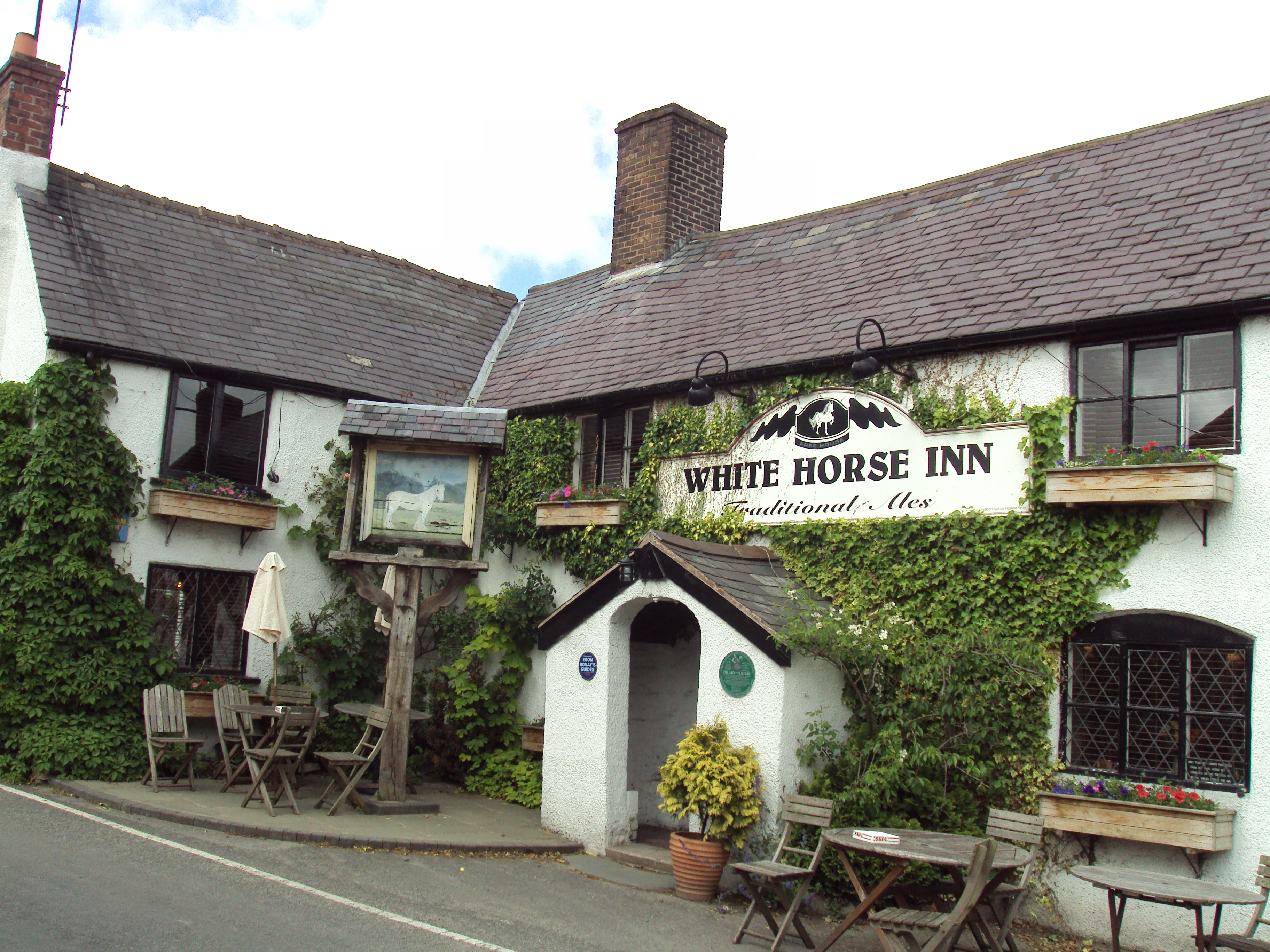
Coed Maes-y-groes Images
Images are sourced within 2km of 53.1589/-3.2081079 or Grid Reference SJ1963. Thanks to Geograph Open Source API. All images are credited.


Coed Maes-y-groes is located at Grid Ref: SJ1963 (Lat: 53.1589, Lng: -3.2081079)
Unitary Authority: Denbighshire
Police Authority: North Wales
What 3 Words
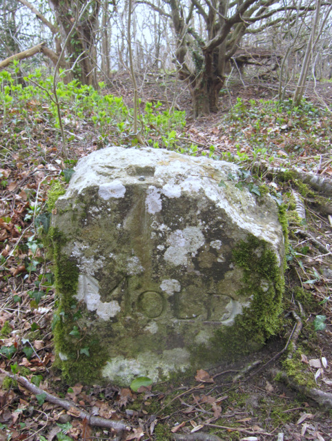
///soft.producing.mock. Near Mold, Flintshire
Nearby Locations
Related Wikis

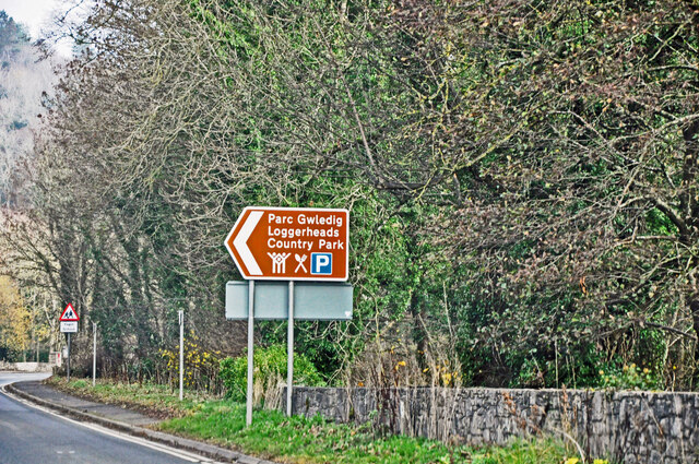
Loggerheads Country Park
Loggerheads Country Park is a country park in the village of Loggerheads, Denbighshire, Wales. The park has a wooded river valley that follows the course...
Loggerheads, Denbighshire
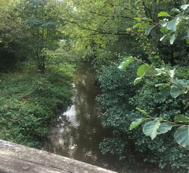
Loggerheads is a village in Denbighshire, Wales on the River Alyn, a tributary of the River Dee. It is the location of Loggerheads Country Park which follows...

Cadole
Cadole is a village in Flintshire, Wales. It lies west of Gwernymynydd and Mold (Yr Wyddgrug), south of Gwernaffield and to the east of the Clwydian Range...
Gwernaffield with Pantymwyn
Gwernaffield with Pantymwyn is a community in Flintshire, Wales with a population of 1942 as of the 2011 UK census. It includes the villages of Gwernaffield...
Tafarn-y-Gelyn
Tafarn-y-Gelyn is a small village in the east of Denbighshire, North East Wales. Situated near Llanferres, at the foot of Moel Famau, just off the A494...
Pantymwyn
Pantymwyn is a small village just outside Mold in Flintshire, Wales, in the community of Gwernaffield with Pantymwyn. The village is located within the...

Gwernaffield
Gwernaffield (Welsh: Y Waun), also known as Gwernaffield-y-Waun, is a village and electoral ward in Flintshire, Wales. It lies about three miles west of...
Cilcain
Cilcain is a village and community, near Mold in Flintshire, north-east Wales. The village has an industrial history and includes the Millennium Woods...
Nearby Amenities
Located within 500m of 53.1589,-3.2081079Have you been to Coed Maes-y-groes?
Leave your review of Coed Maes-y-groes below (or comments, questions and feedback).