Cascade Wood
Wood, Forest in Denbighshire
Wales
Cascade Wood
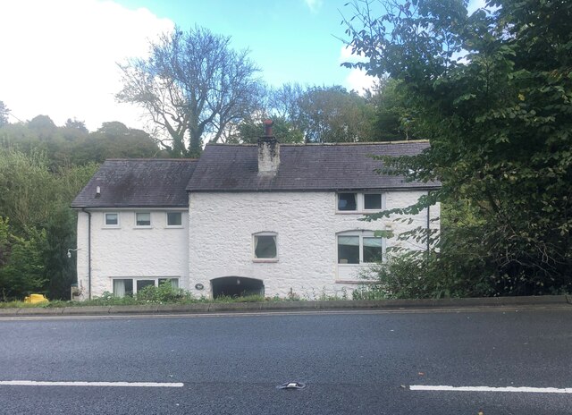
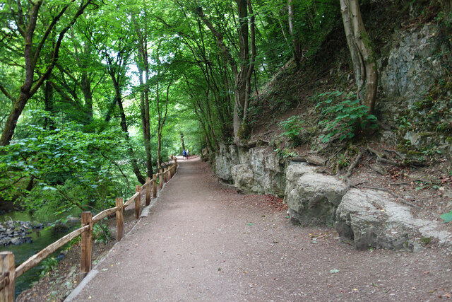
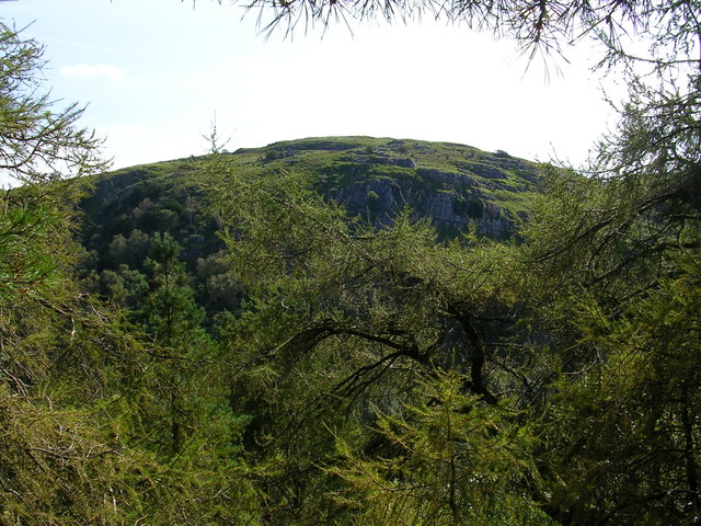
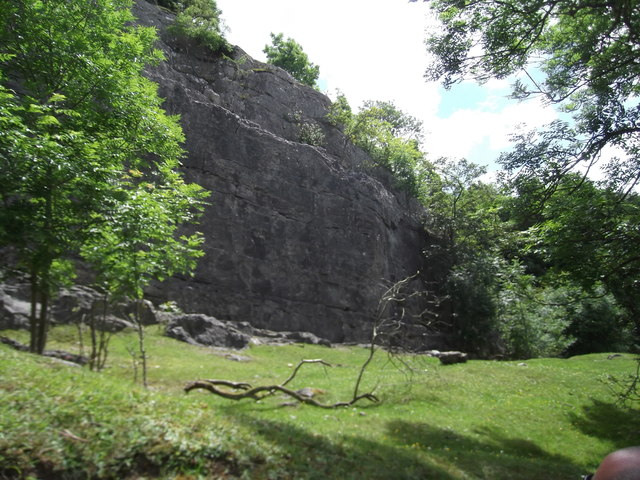
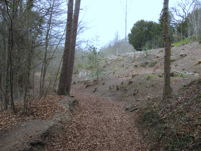
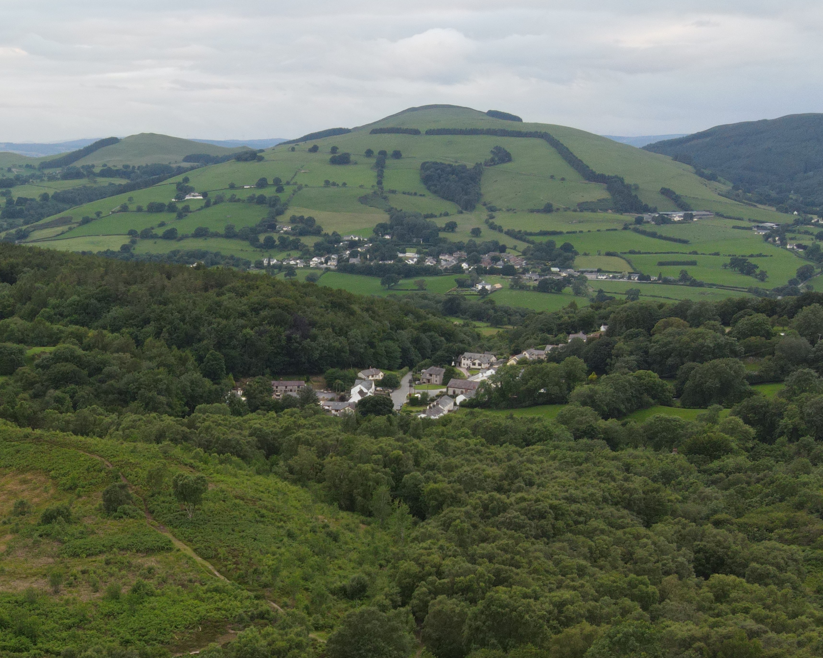
Cascade Wood is a picturesque woodland located in Denbighshire, Wales. Situated near the village of Llanrhaeadr-yng-Nghinmeirch, this enchanting forest covers an area of approximately 100 acres. Known for its natural beauty and tranquil surroundings, Cascade Wood offers visitors a serene escape from the bustling city life.
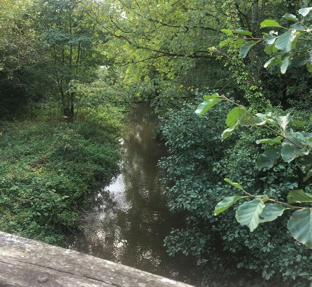
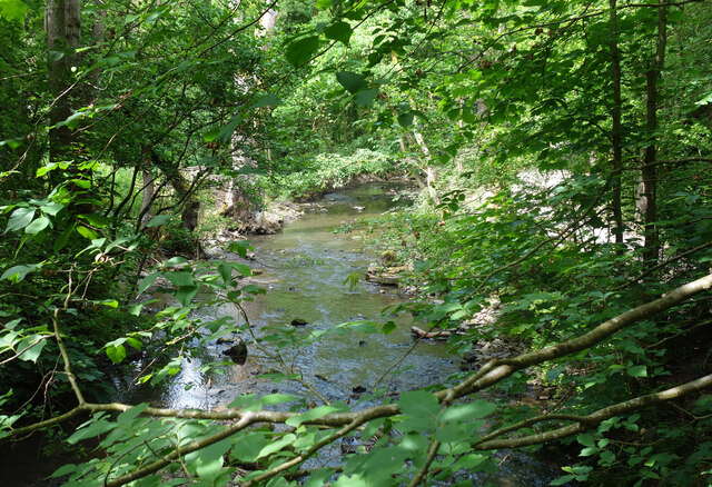
The woodland is named after the magnificent cascade waterfall that flows through its heart, adding to its charm and allure. The waterfall, with its cascading waters, creates a soothing and calming atmosphere, providing a perfect backdrop for a leisurely stroll or a peaceful picnic. The sound of the rushing water and the lush greenery surrounding it make for a truly immersive nature experience.
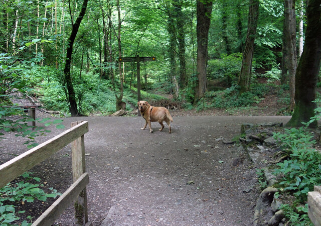
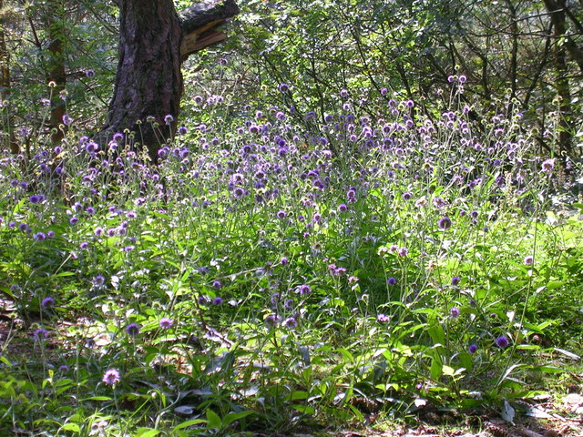
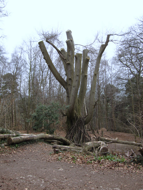
Cascade Wood is home to a diverse range of flora and fauna, making it a haven for nature enthusiasts and wildlife lovers. Visitors can expect to encounter a variety of plant species, including native trees such as oak, birch, and beech, as well as a vibrant array of wildflowers during the spring and summer months. The forest also provides a habitat for various bird species, squirrels, and other small mammals.
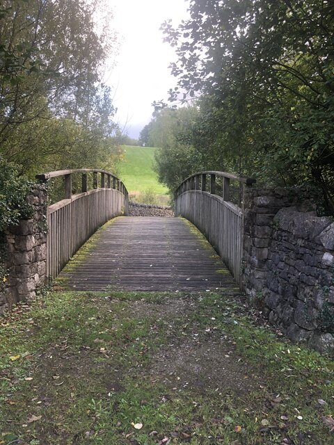
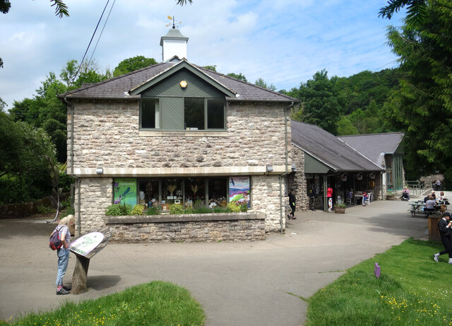
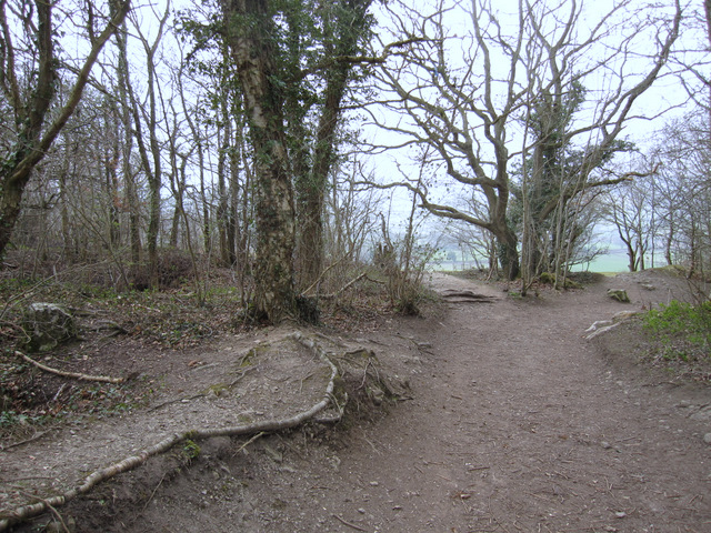
The wood offers several walking trails that wind through its idyllic landscape, allowing visitors to explore its natural wonders at their own pace. These trails are well-maintained and offer stunning views of the surrounding countryside, providing a rewarding experience for both casual walkers and avid hikers.
Overall, Cascade Wood is a hidden gem in Denbighshire, offering visitors a chance to immerse themselves in nature's beauty and tranquility. Whether it's for a peaceful walk, a family outing, or a photography expedition, this enchanting forest is sure to leave a lasting impression on all who visit.
If you have any feedback on the listing, please let us know in the comments section below.
Cascade Wood Images
Images are sourced within 2km of 53.142175/-3.2076085 or Grid Reference SJ1961. Thanks to Geograph Open Source API. All images are credited.
Cascade Wood is located at Grid Ref: SJ1961 (Lat: 53.142175, Lng: -3.2076085)
Unitary Authority: Denbighshire
Police Authority: North Wales
What 3 Words
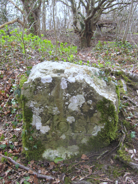
///vines.nametag.pining. Near Mold, Flintshire
Nearby Locations
Related Wikis
Tafarn-y-Gelyn
Tafarn-y-Gelyn is a small village in the east of Denbighshire, North East Wales. Situated near Llanferres, at the foot of Moel Famau, just off the A494...

Llanferres
Llanferres is a village and community in the county of Denbighshire in Wales. At the 2001 Census the population of the village was recorded as 676, increasing...
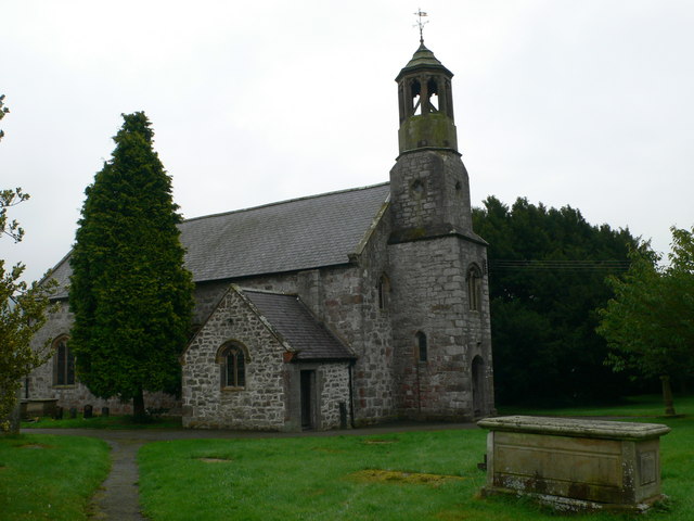
St Berres' Church, Llanferres
St Berres' Church, Llanferres, is in the village of Llanferres, Denbighshire, Wales on the A494 road between Mold and Ruthin. It is an Anglican church...
Maeshafn
Maeshafn is a small village in Denbighshire, Wales, near the border with Flintshire. Maeshafn lies several miles to the southwest of Mold. Overlooked...
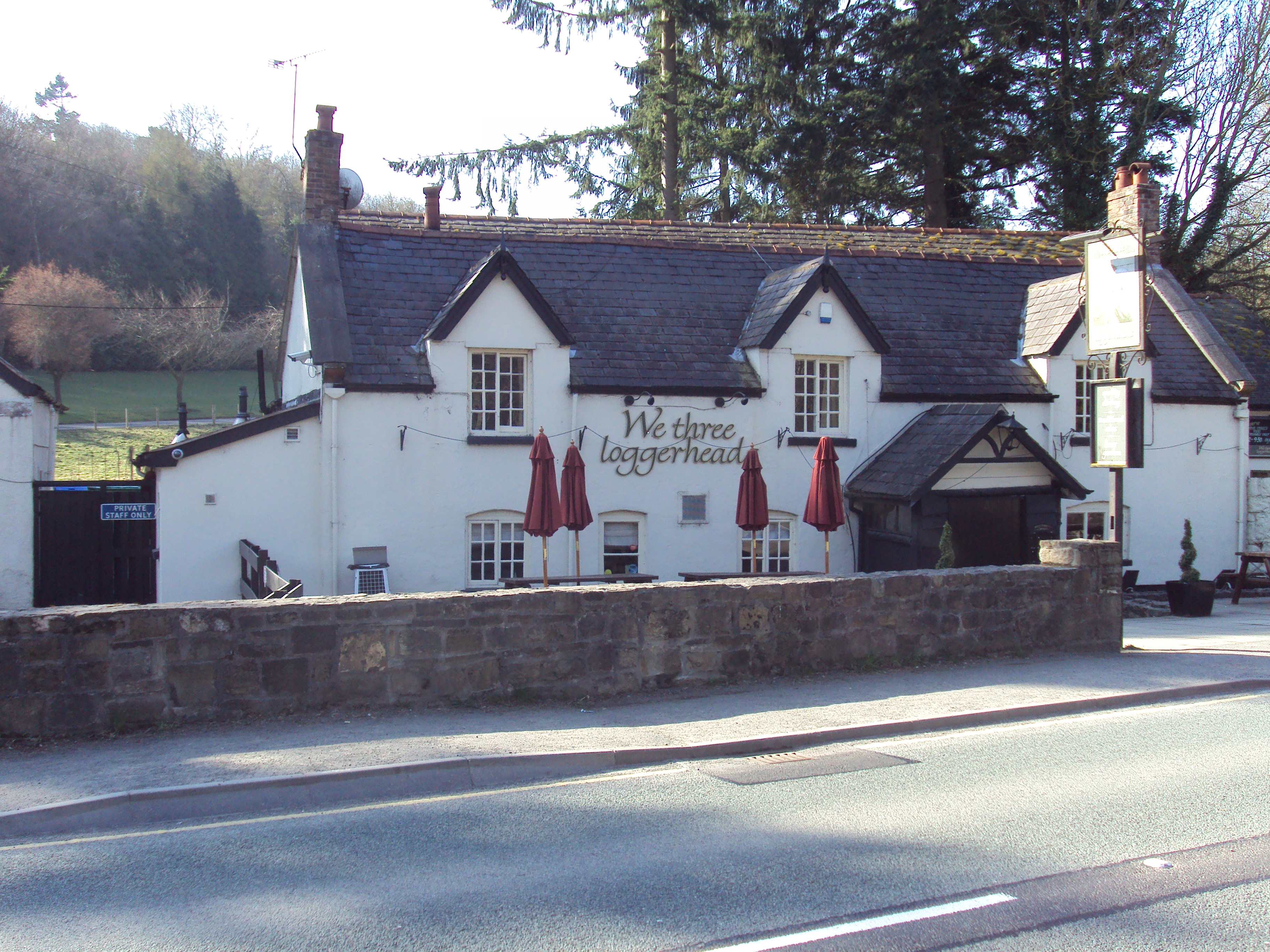
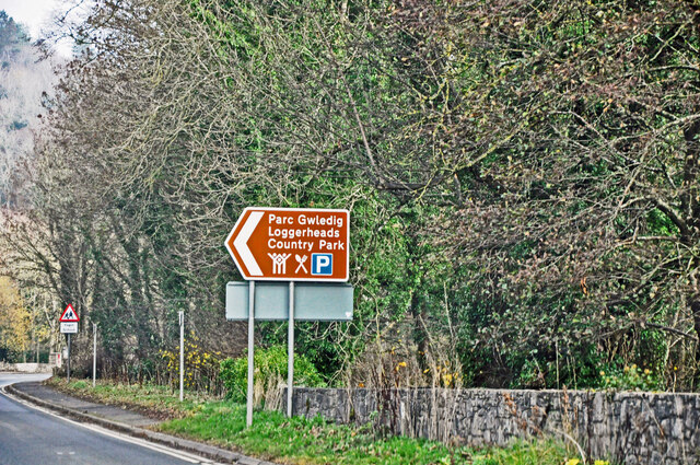
Loggerheads, Denbighshire
Loggerheads is a village in Denbighshire, Wales on the River Alyn, a tributary of the River Dee. It is the location of Loggerheads Country Park which follows...

Loggerheads Country Park
Loggerheads Country Park is a country park in the village of Loggerheads, Denbighshire, Wales. The park has a wooded river valley that follows the course...
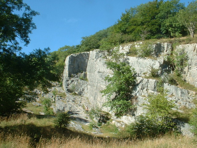
Pot Hole quarry
Pot Hole quarry (also known as Pothole quarry or Three Springs quarry) is a former limestone quarry close to Llanferres, near Mold, in Denbighshire, North...

Clwydian Range and Dee Valley
The Clwydian Range and Dee Valley (Welsh: Bryniau Clwyd a Dyffryn Dyfrdwy) is a designated Area of Outstanding Natural Beauty (AONB) located in north-east...
Nearby Amenities
Located within 500m of 53.142175,-3.2076085Have you been to Cascade Wood?
Leave your review of Cascade Wood below (or comments, questions and feedback).