Coed Cefn-bychan

Wood, Forest in Flintshire

Wales

Coed Cefn-bychan

Sign for Loggerheads Country Park At last!  Found where Loggerheads actually is!  If I hear that anyone is at loggerheads with anybody else, I now know where they are!
Sign for Loggerheads Country Park Credit: Bob Walters

The requested URL returned error: 429 Too Many Requests

If you have any feedback on the listing, please let us know in the comments section below.

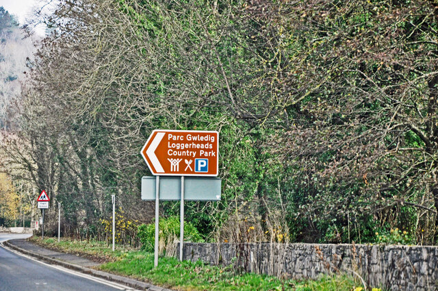
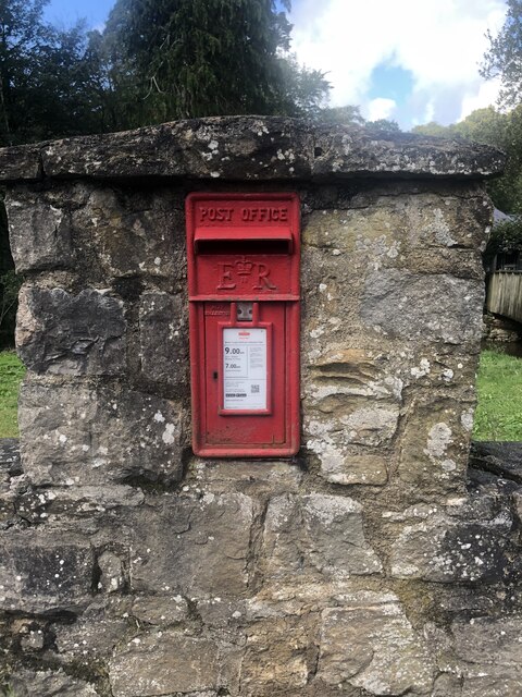
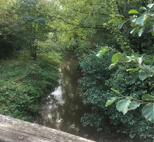
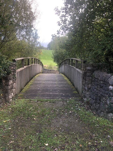
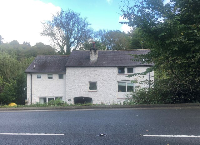
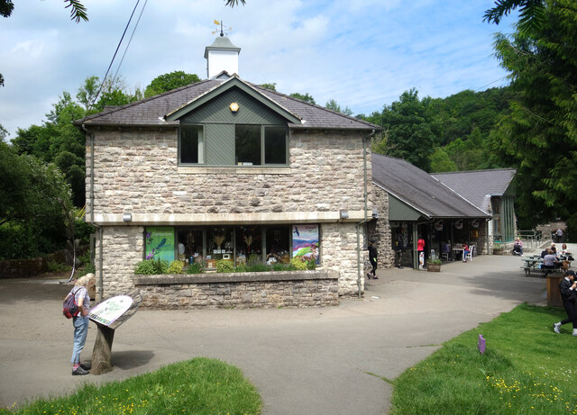
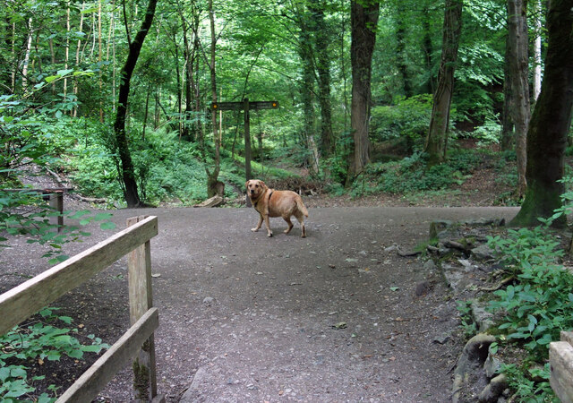
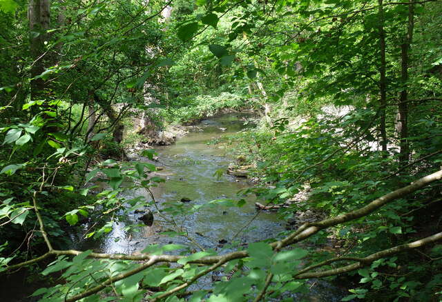
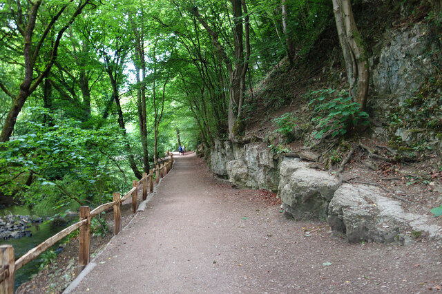
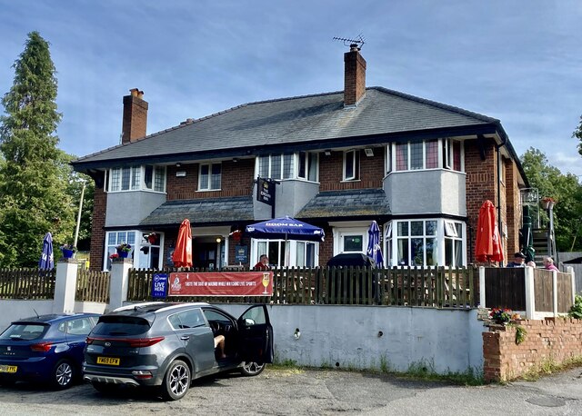
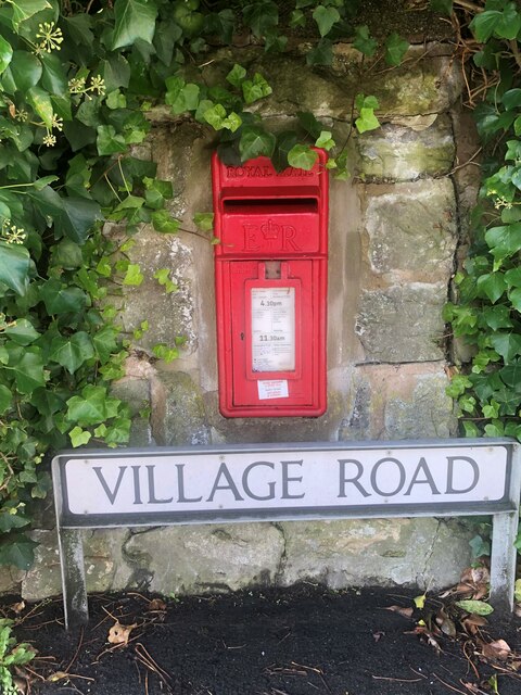
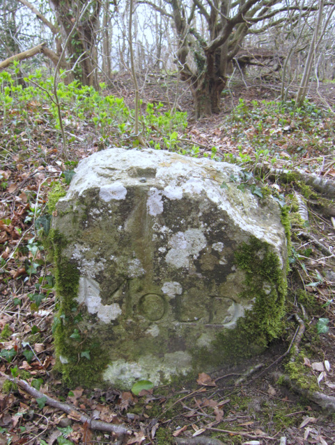
Coed Cefn-bychan Images

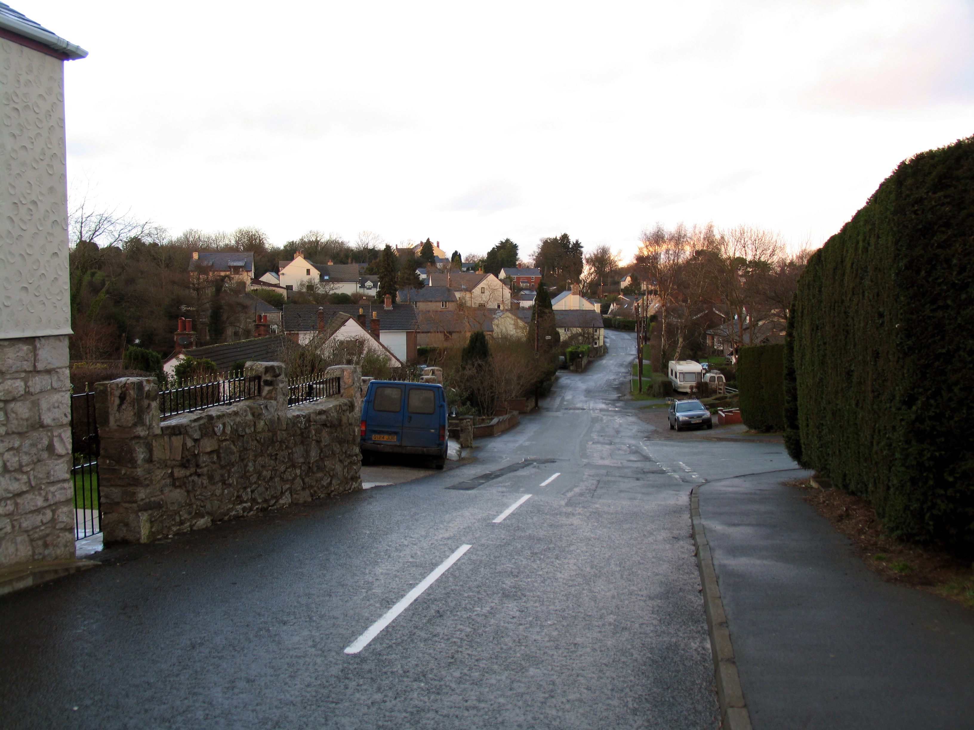
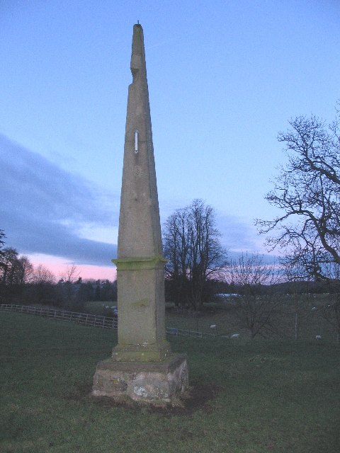
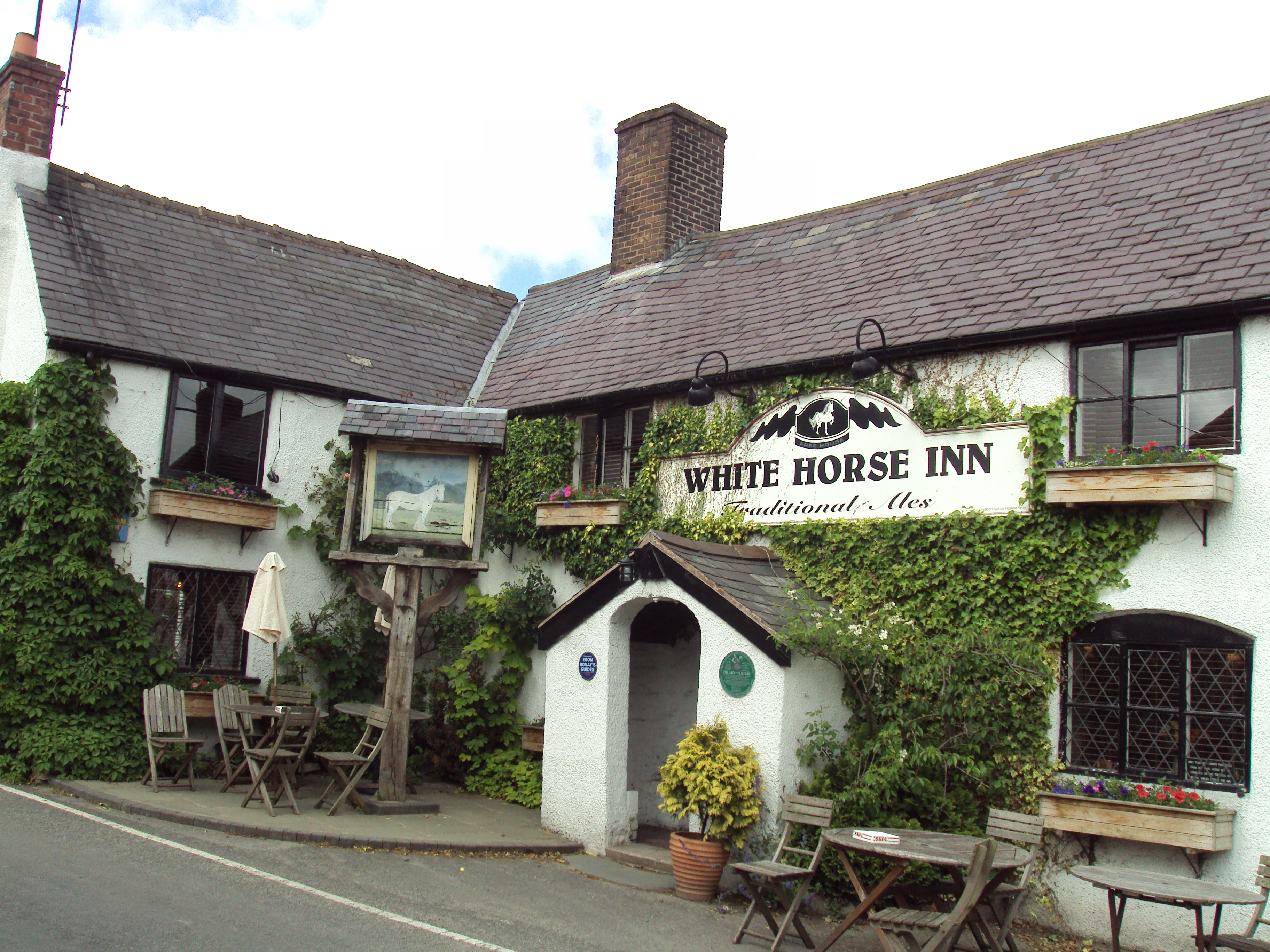
Images are sourced within 2km of 53.164966/-3.2127209 or Grid Reference SJ1963. Thanks to Geograph Open Source API. All images are credited.

Sign for Loggerheads Country Park At last!  Found where Loggerheads actually is!  If I hear that anyone is at loggerheads with anybody else, I now know where they are!
Sign for Loggerheads Country Park
At last! Found where Loggerheads actually is! If I hear that anyone is at loggerheads with anybody else, I now know where they are!
Wall-mounted postbox at Loggerheads Inset into a wall opposite the We Three Loggerheads public house
Wall-mounted postbox at Loggerheads
Inset into a wall opposite the We Three Loggerheads public house
The River Alyn at Loggerheads
Wooden footbridge over the River Alyn at Loggerheads
Llanferres Mill Former corn mill on the A494
Llanferres Mill
Former corn mill on the A494
Shop at the Country Park Part of the visitor centre buildings at Loggerheads Country Park.
Shop at the Country Park
Part of the visitor centre buildings at Loggerheads Country Park.
Dog on the Trail Waiting for his people to catch up and decide which way they are going.
Loggerheads Country Park.
Dog on the Trail
Waiting for his people to catch up and decide which way they are going. Loggerheads Country Park.
River Alyn in Loggerheads Park The river flows past limestone cliffs in a beautiful woodland setting.
River Alyn in Loggerheads Park
The river flows past limestone cliffs in a beautiful woodland setting.
Riverside Path, Loggerheads Park Sandwiched between the River Alyn on one side and steep limestone crags on the other.
Riverside Path, Loggerheads Park
Sandwiched between the River Alyn on one side and steep limestone crags on the other.
The Crown Inn, Pantymwyn
Llethrau Moel Famau / Slopes of Moel Famau
Caeau ger Cilcain / Fields near Cilcain
Blwch Post / Postbox I don't know whether this dates from the reign of George V or George VI.
Blwch Post / Postbox
I don't know whether this dates from the reign of George V or George VI.
Y porth i Eglwys Santes Fair / The gateway to St Mary's Church
Benchmark on St Mary's church, Cilcain This weathered Ordnance Survey benchmark is on the north west buttress of the church tower.
Benchmark on St Mary's church, Cilcain
This weathered Ordnance Survey benchmark is on the north west buttress of the church tower.
Wall-mounted postbox at Cadole
Victorian letterbox in Church Lane, Gwernaffield, Flintshire A fine Victorian wall box with an enlarged opening set in a wall close to the Hand Inn, Gwernaffield.

Maker:-
W T Allen & Co London

Reference: CH7 20

Unfortunately 'Lost' between 2012 and 2016.
Victorian letterbox in Church Lane, Gwernaffield, Flintshire
A fine Victorian wall box with an enlarged opening set in a wall close to the Hand Inn, Gwernaffield. Maker:- W T Allen & Co London Reference: CH7 20 Unfortunately 'Lost' between 2012 and 2016.
'Mold' boundary stone and a rivet bench mark This old boundary stone has the name 'MOLD' on the dressed face, but the back of the stone is just rough cut. A rivet bench mark has been cut into the top edge of the stone and this is recorded on the 1878 O.S. map levelled at 804.8 feet. This stone is very close to the popular viewing area high above Loggerheads, but is about three metres off the track - see <a href="https://www.geograph.org.uk/photo/2331859">SJ1962 : Track to Loggerheads viewing point</a>. Another similar boundary stone, without a bench mark, is adjacent to the track, and is more obvious, about 50 metres east of this one.

Milestone Society National ID: FLT_MOLD03pb
'Mold' boundary stone and a rivet bench mark
This old boundary stone has the name 'MOLD' on the dressed face, but the back of the stone is just rough cut. A rivet bench mark has been cut into the top edge of the stone and this is recorded on the 1878 O.S. map levelled at 804.8 feet. This stone is very close to the popular viewing area high above Loggerheads, but is about three metres off the track - see SJ1962 : Track to Loggerheads viewing point. Another similar boundary stone, without a bench mark, is adjacent to the track, and is more obvious, about 50 metres east of this one. Milestone Society National ID: FLT_MOLD03pb
Show me another place!

Coed Cefn-bychan is located at Grid Ref: SJ1963 (Lat: 53.164966, Lng: -3.2127209)

Unitary Authority: Flintshire

Police Authority: North Wales

What 3 Words

///unfit.confused.joints. Near Mold, Flintshire

Related Wikis

Pantymwyn

Pantymwyn is a small village just outside Mold in Flintshire, Wales, in the community of Gwernaffield with Pantymwyn. The village is located within the...

Gwernaffield with Pantymwyn

Gwernaffield with Pantymwyn is a community in Flintshire, Wales with a population of 1942 as of the 2011 UK census. It includes the villages of Gwernaffield...

Cilcain

Cilcain is a village and community, near Mold in Flintshire, north-east Wales. The village has an industrial history and includes the Millennium Woods...

Loggerheads Country Park

Loggerheads Country Park is a country park in the village of Loggerheads, Denbighshire, Wales. The park has a wooded river valley that follows the course...

Nearby Amenities

Located within 500m of 53.164966,-3.2127209
Depth: 1
Ford: yes
Seasonal: yes
Lat/Long: 53.1625396/-3.2116752
Barrier: stile
Lat/Long: 53.1644976/-3.2188216
Barrier: stile
Lat/Long: 53.1646774/-3.2174175
Barrier: cycle_barrier
Lat/Long: 53.1647961/-3.2146266
Barrier: stile
Lat/Long: 53.1647792/-3.2162151
Barrier: stile
Lat/Long: 53.1666395/-3.2131136
Barrier: stile
Lat/Long: 53.1680004/-3.2124686
Direction: WSW
Generator Method: photovoltaic
Generator Output Electricity: yes
Generator Solar Modules: 14
Generator Source: solar
Generator Type: solar_photovoltaic_panel
Location: roof
Power: generator
Lat/Long: 53.1672088/-3.2072541
Direction: 175
Generator Method: photovoltaic
Generator Output Electricity: yes
Generator Solar Modules: 16
Generator Source: solar
Generator Type: solar_photovoltaic_panel
Location: roof
Power: generator
Lat/Long: 53.1683987/-3.2082358
Direction: 165
Generator Method: photovoltaic
Generator Output Electricity: yes
Generator Solar Modules: 5
Generator Source: solar
Generator Type: solar_photovoltaic_panel
Location: roof
Power: generator
Lat/Long: 53.1638574/-3.2055945
Direction: 165
Generator Method: photovoltaic
Generator Output Electricity: yes
Generator Solar Modules: 12
Generator Source: solar
Generator Type: solar_photovoltaic_panel
Location: roof
Power: generator
Lat/Long: 53.163898/-3.2056206
The data included in this document is from www.openstreetmap.org. The data is made available under ODbL.

Have you been to Coed Cefn-bychan?

Leave your review of Coed Cefn-bychan below (or comments, questions and feedback).