Cackle Hill
Settlement in Lincolnshire South Holland
England
Cackle Hill
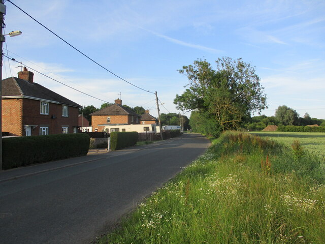
Located in the county of Lincolnshire, Cackle Hill is a small village nestled in the heart of rural England. With a population of around 500 residents, it is known for its picturesque landscapes, charming cottages, and a strong sense of community.
Cackle Hill is situated on gently rolling hills, surrounded by lush green fields, and is blessed with abundant natural beauty. The village is characterized by its traditional architectural style, with many buildings dating back to the 17th and 18th centuries. The charming cottages and stone houses are adorned with colorful gardens, adding to the visual appeal of the area.
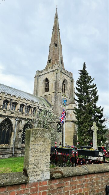
The village is rich in history, with evidence of its existence dating back to medieval times. One notable landmark is the St. Mary's Church, a beautiful example of English Gothic architecture that stands proudly in the village center. The church boasts stunning stained glass windows and a serene atmosphere, attracting visitors from near and far.
Cackle Hill is also renowned for its strong community spirit. The village hosts various social events throughout the year, including a summer fair, a harvest festival, and a Christmas market. These events bring the community together and provide opportunities for residents to connect and celebrate.
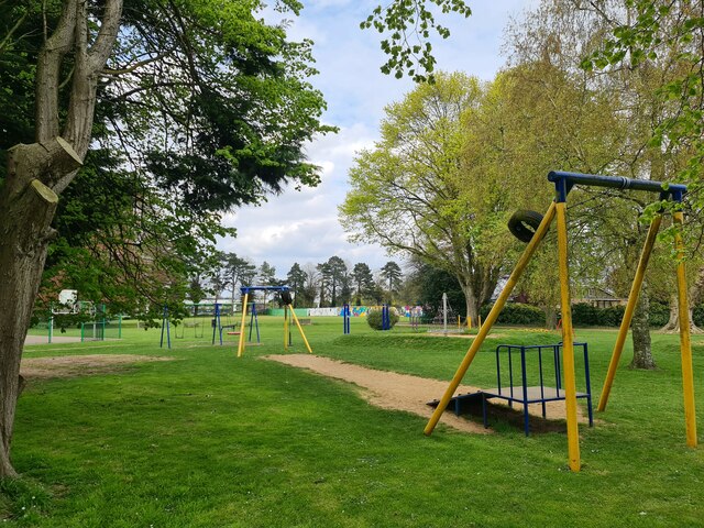
For those who enjoy the outdoors, Cackle Hill offers ample opportunities for walking, cycling, and exploring the surrounding countryside. The nearby Cackle Hill Woods provide a tranquil setting for nature lovers, offering a variety of flora and fauna.
Overall, Cackle Hill offers a peaceful and idyllic lifestyle, making it a desirable place to live or visit for those seeking a charming English village experience.
If you have any feedback on the listing, please let us know in the comments section below.
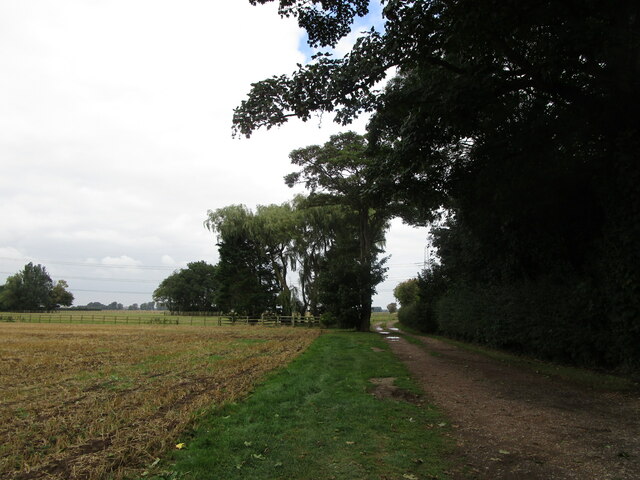
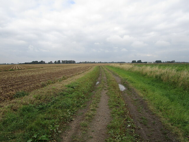
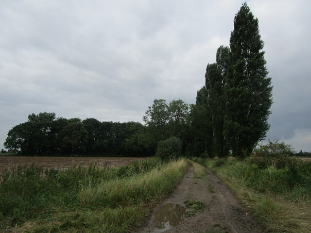
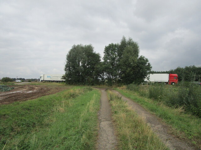
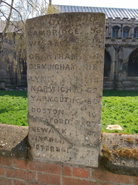
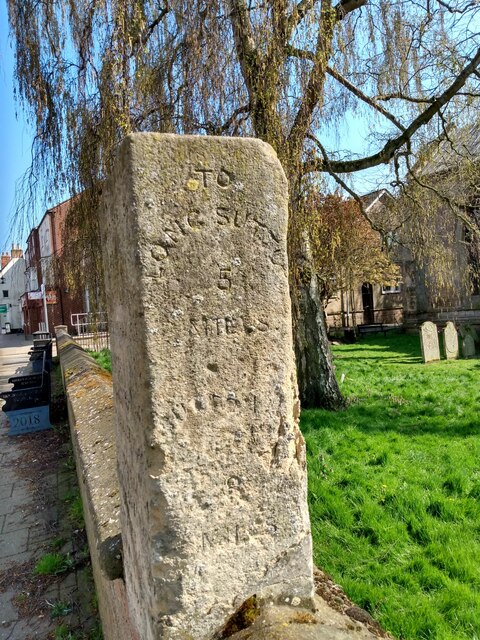
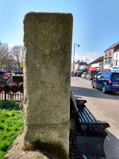
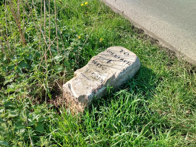
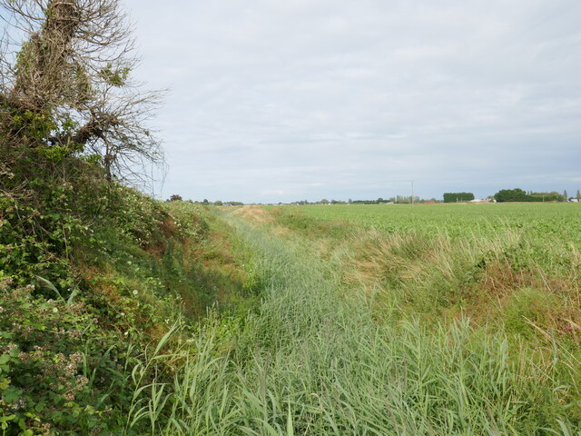
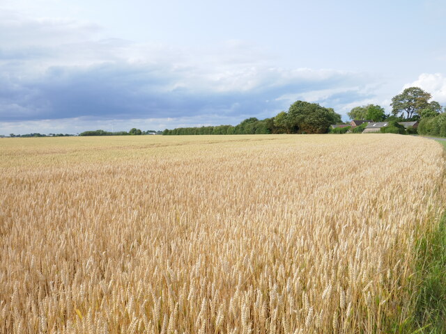
Cackle Hill Images
Images are sourced within 2km of 52.815716/0.004939 or Grid Reference TF3526. Thanks to Geograph Open Source API. All images are credited.
Cackle Hill is located at Grid Ref: TF3526 (Lat: 52.815716, Lng: 0.004939)
Division: Parts of Holland
Administrative County: Lincolnshire
District: South Holland
Police Authority: Lincolnshire
What 3 Words
///dampen.piston.homeward. Near Holbeach, Lincolnshire
Nearby Locations
Related Wikis

University Academy Holbeach
University Academy Holbeach is a co-educational secondary school and sixth form located in Holbeach, Lincolnshire, England. == History == === Secondary... ===
National Centre for Food Manufacturing
The National Centre for Food Manufacturing (NCFM) is the food science campus of the University of Lincoln, situated on Park Road at Holbeach in the south...
Holbeach United F.C.
Holbeach United Football Club is a football club based in Holbeach, Lincolnshire, England. They are currently members of the Eastern Counties League Division...

Holbeach Bank
Holbeach Bank is a fenland village in the South Holland district of Lincolnshire, England. It is just under 2 miles (3 km) north from the market town of...

Holbeach
Holbeach is a market town and civil parish in the South Holland District in Lincolnshire, England. The town lies 8 miles (13 km) from Spalding; 17 miles...

Holbeach Clough
Holbeach Clough (today synonymous with Saracen's Head) is a fenland village in the South Holland district of Lincolnshire, England. It is just under 2...
East Elloe Rural District
East Elloe was a rural district in Holland in Lincolnshire from 1894 to 1974. == History == The district had its origins in the Holbeach Poor Law Union...

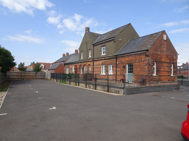
Holbeach railway station
Holbeach railway station was a station in Holbeach, Lincolnshire. It opened on 15 November 1858 and closed on 2 March 1959. The station buildings survived...
Nearby Amenities
Located within 500m of 52.815716,0.004939Have you been to Cackle Hill?
Leave your review of Cackle Hill below (or comments, questions and feedback).