Penny Hill
Settlement in Lincolnshire South Holland
England
Penny Hill
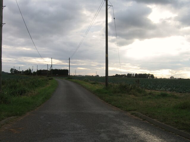
Penny Hill is a small village located in the county of Lincolnshire in the east of England. Situated approximately 3 miles north of the town of Spalding, Penny Hill is known for its picturesque rural setting and tranquil environment.
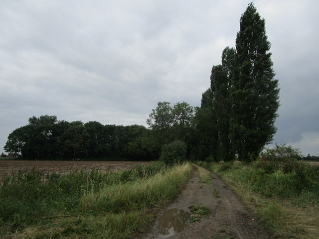
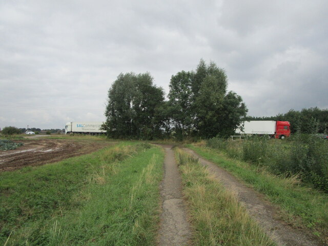
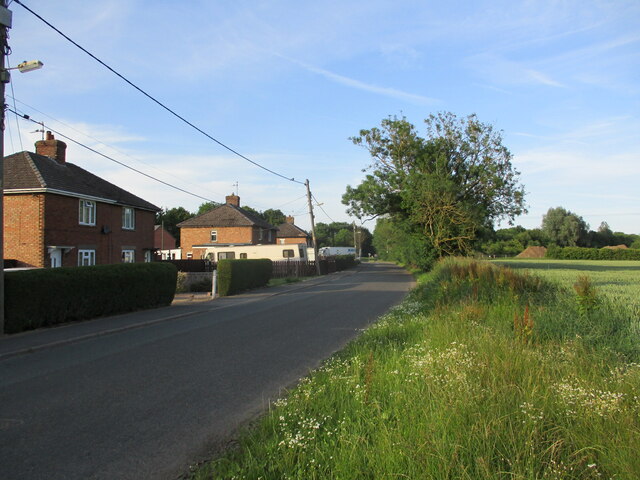
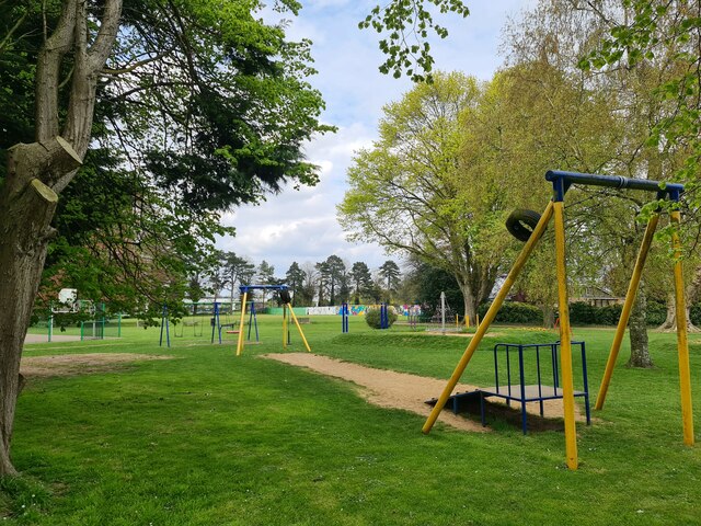
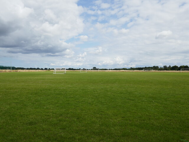
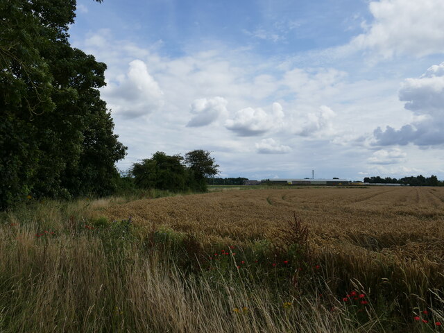
The village is home to a relatively small population, with the majority of its residents engaged in agricultural activities. The landscape surrounding Penny Hill is characterized by rich farmland, with vast fields of crops and grazing livestock. The village itself consists of a scattering of residential properties, many of which are traditional cottages, giving the area a quaint and charming feel.
While Penny Hill may be small in size, it offers a number of amenities and services to its residents. These include a primary school, a village hall, and a local pub, which serves as a social hub for the community. Additionally, the nearby town of Spalding provides residents with a wider range of facilities, including shops, supermarkets, and healthcare services.
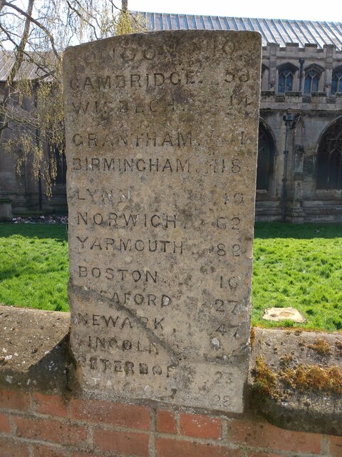
The village is well-connected to nearby towns and cities via road links, with the A16 and A151 roads in close proximity. This allows for easy access to the neighboring towns of Boston and Peterborough, as well as the city of Lincoln.
Overall, Penny Hill offers a peaceful and idyllic lifestyle for its residents, with its beautiful countryside surroundings and close-knit community spirit.
If you have any feedback on the listing, please let us know in the comments section below.
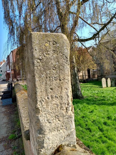
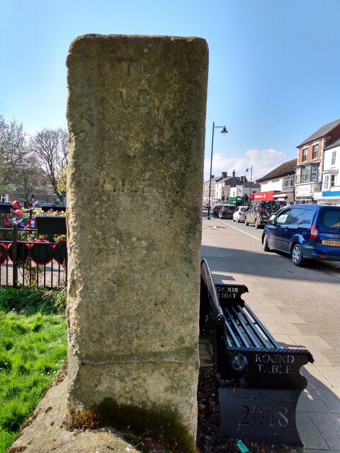
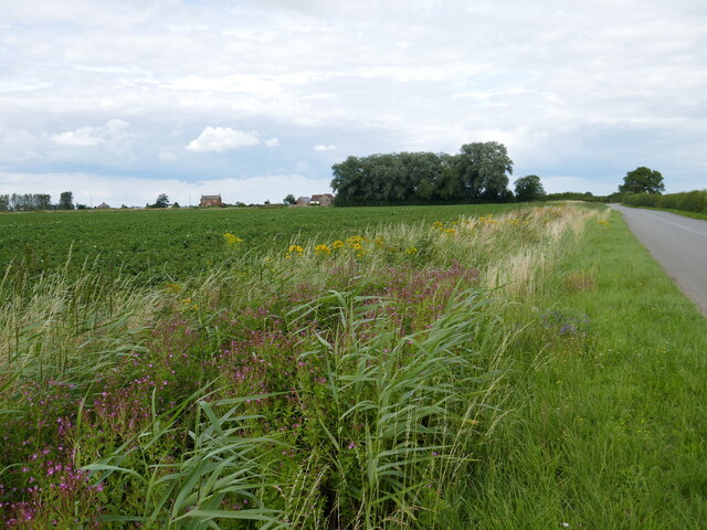
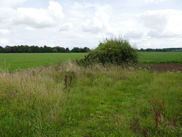
Penny Hill Images
Images are sourced within 2km of 52.820554/0.012345 or Grid Reference TF3526. Thanks to Geograph Open Source API. All images are credited.


Penny Hill is located at Grid Ref: TF3526 (Lat: 52.820554, Lng: 0.012345)
Division: Parts of Holland
Administrative County: Lincolnshire
District: South Holland
Police Authority: Lincolnshire
What 3 Words
///doubt.chair.pupils. Near Holbeach, Lincolnshire
Nearby Locations
Related Wikis

Holbeach Bank
Holbeach Bank is a fenland village in the South Holland district of Lincolnshire, England. It is just under 2 miles (3 km) north from the market town of...

National Centre for Food Manufacturing
The National Centre for Food Manufacturing (NCFM) is the food science campus of the University of Lincoln, situated on Park Road at Holbeach in the south...
University Academy Holbeach
University Academy Holbeach is a co-educational secondary school and sixth form located in Holbeach, Lincolnshire, England. == History == === Secondary... ===
Holbeach United F.C.
Holbeach United Football Club is a football club based in Holbeach, Lincolnshire, England. They are currently members of the Eastern Counties League Division...

Holbeach Clough
Holbeach Clough (today synonymous with Saracen's Head) is a fenland village in the South Holland district of Lincolnshire, England. It is just under 2...

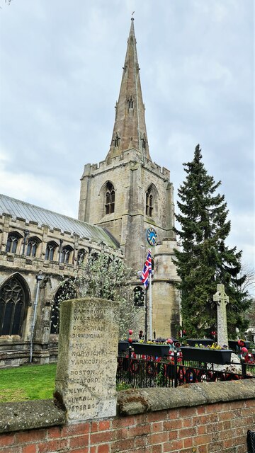
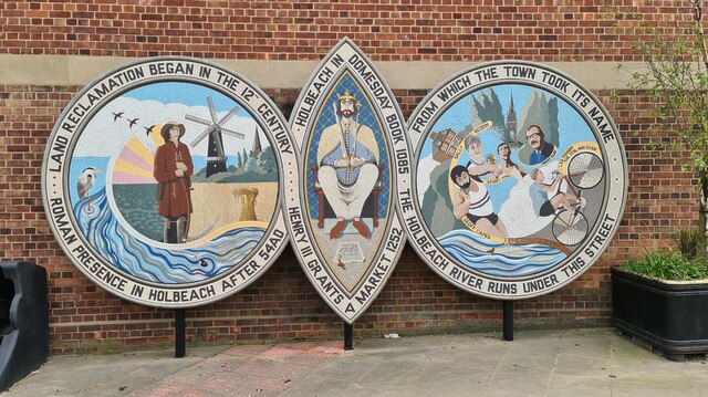
Holbeach
Holbeach is a market town and civil parish in the South Holland District in Lincolnshire, England. The town lies 8 miles (13 km) from Spalding; 17 miles...
East Elloe Rural District
East Elloe was a rural district in Holland in Lincolnshire from 1894 to 1974. == History == The district had its origins in the Holbeach Poor Law Union...

Holbeach railway station
Holbeach railway station was a station in Holbeach, Lincolnshire. It opened on 15 November 1858 and closed on 2 March 1959. The station buildings survived...
Related Videos
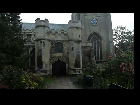
All Saints Church Holbeach
A 3 minute video showing the outside of the church, taken on 19/10/23. The campanologists were at work on that day.

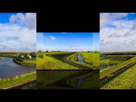
Shep Whites Marsh Holbeach St Matthew's Lincolnshire
photos I've taken on my walk at Shep Whites Marsh Holbeach St Matthew's Lincolnshire.

If salons Holbeach www.ifsalons.co.uk Tel: 01406 493293
Acrylic Nail Extensions, gel Manicure, Wedding Nails, prom nails, Party nails holiday nails ombre nails marbel arts summer ...
Nearby Amenities
Located within 500m of 52.820554,0.012345Have you been to Penny Hill?
Leave your review of Penny Hill below (or comments, questions and feedback).