Upper House Wood
Wood, Forest in Montgomeryshire
Wales
Upper House Wood
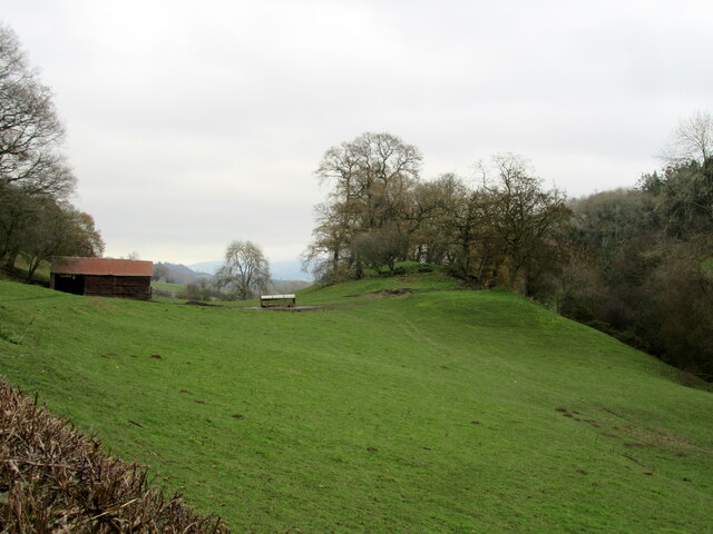
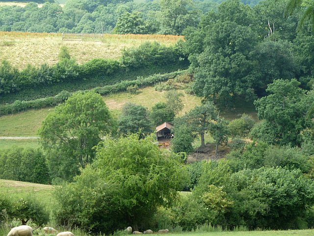
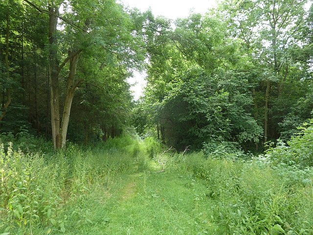
Upper House Wood is a sprawling forest located in Montgomeryshire, Wales. Covering an extensive area of land, it is a renowned natural paradise that attracts nature enthusiasts, hikers, and wildlife lovers alike. The wood is characterized by its diverse range of flora and fauna, making it a haven for biodiversity.
The forest boasts a mix of deciduous and coniferous trees, including oak, beech, ash, and pine, providing a rich and varied habitat for numerous species. The woodland floor is adorned with a carpet of vibrant wildflowers, adding to the area's natural beauty. As visitors explore the wood, they can expect to encounter a plethora of wildlife, such as deer, foxes, badgers, and a wide variety of bird species.
A network of well-maintained trails weaves through the forest, ensuring visitors can easily navigate and explore the area. These paths cater to all abilities, from leisurely strolls to more challenging hikes, providing something for everyone. Additionally, the wood offers several picnic areas and rest spots, allowing visitors to relax and absorb the tranquil surroundings.
Upper House Wood also holds significant historical and archaeological value. The forest has remnants of ancient settlements and features, including burial mounds and earthworks, which offer a glimpse into the rich heritage of the area.
Overall, Upper House Wood is a remarkable natural gem in Montgomeryshire, offering a sanctuary for both nature and history lovers. Its scenic beauty, diverse wildlife, and historical importance make it a must-visit destination for those seeking to immerse themselves in the captivating wonders of nature.
If you have any feedback on the listing, please let us know in the comments section below.
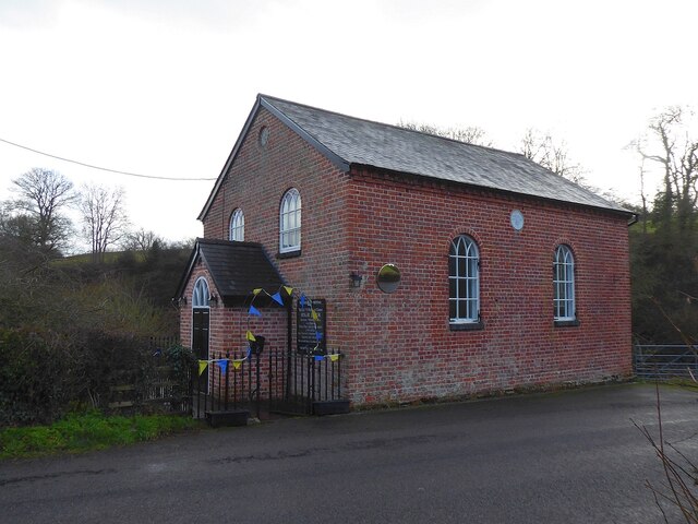
Upper House Wood Images
Images are sourced within 2km of 52.586228/-3.2596179 or Grid Reference SO1499. Thanks to Geograph Open Source API. All images are credited.


Upper House Wood is located at Grid Ref: SO1499 (Lat: 52.586228, Lng: -3.2596179)
Unitary Authority: Powys
Police Authority: Dyfed Powys
What 3 Words
///soldiers.cheering.cashiers. Near Llanfair Caereinion, Powys
Nearby Locations
Related Wikis

Stingwern Hill
Stingwern Hill, or ‘the Stingwern’ is a marilyn near Manafon in Mid Wales. Its summit is approximately 358 metres above sea level and has a prominence...

Vaynor Park
Vaynor Park is a country house in a landscaped park, standing on high ground to the south-west of Berriew village, in the historic county of Montgomeryshire...
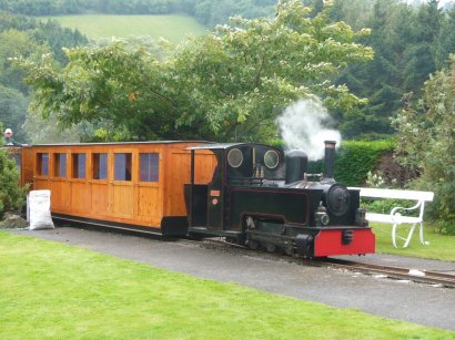
Rhiw Valley Light Railway
The Rhiw Valley Light Railway was a 15 in (381 mm) gauge railway located near to the village of Berriew in Powys, Wales. It closed on 2 October 2022....

Abernant, Powys
Abernant is a hamlet near Montgomery, Powys and is 75 miles (121 km) from Cardiff and 150 miles (242 km) from London.The spring forms above Abernant, near...
Nearby Amenities
Located within 500m of 52.586228,-3.2596179Have you been to Upper House Wood?
Leave your review of Upper House Wood below (or comments, questions and feedback).