Plymouth Wood
Wood, Forest in Glamorgan
Wales
Plymouth Wood

Plymouth Wood, located in the county of Glamorgan, Wales, is a picturesque forest known for its rich biodiversity and stunning natural beauty. Covering an area of approximately 500 acres, this woodland is a popular destination for nature enthusiasts, hikers, and birdwatchers.
The forest is predominantly composed of deciduous trees, such as oak, beech, and ash, which create a vibrant and ever-changing landscape throughout the seasons. The dense canopy provides shade and shelter for countless species of flora and fauna, making it a haven for wildlife.
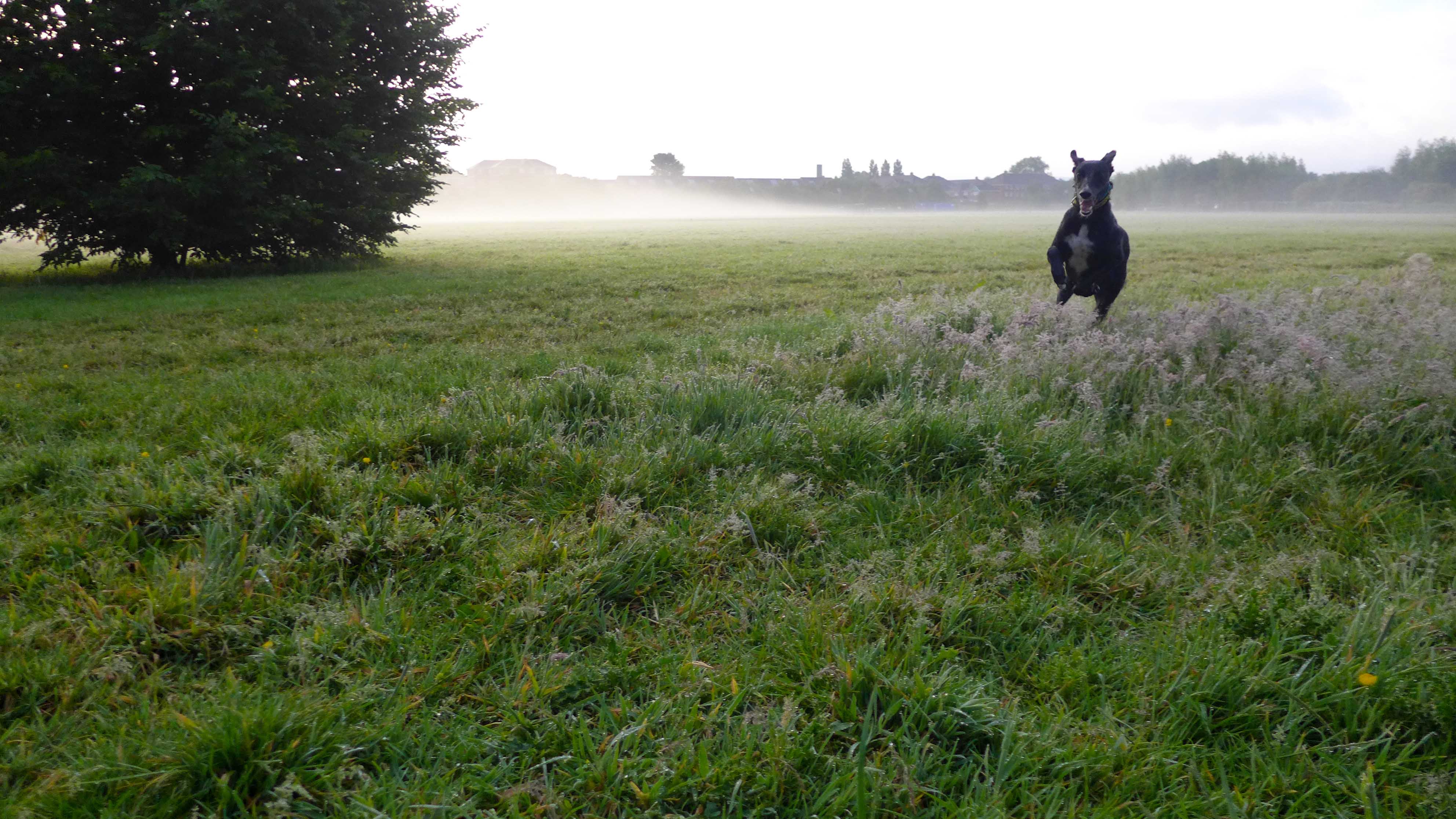
Plymouth Wood is home to a diverse range of animals, including deer, foxes, badgers, and a variety of bird species. Birdwatchers can often spot woodpeckers, jays, and tawny owls among the treetops. The tranquil atmosphere and abundance of wildlife make it an ideal location for photographers and nature lovers seeking to capture the essence of the natural world.
The forest offers a network of well-maintained trails and paths, allowing visitors to explore its hidden gems at their own pace. These trails cater to different skill levels, from gentle strolls to more challenging hikes, ensuring that there is something for everyone.
In addition to its natural beauty, Plymouth Wood also has historical significance. The area is known to have been inhabited since prehistoric times, and remnants of ancient settlements and stone circles can still be found within the forest, adding an extra layer of intrigue and fascination for history enthusiasts.
Overall, Plymouth Wood in Glamorgan is a captivating and diverse woodland, offering a peaceful retreat for those seeking to connect with nature and explore the rich tapestry of wildlife and history that it has to offer.
If you have any feedback on the listing, please let us know in the comments section below.
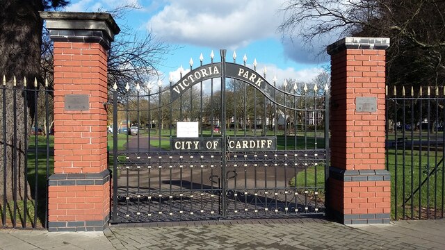
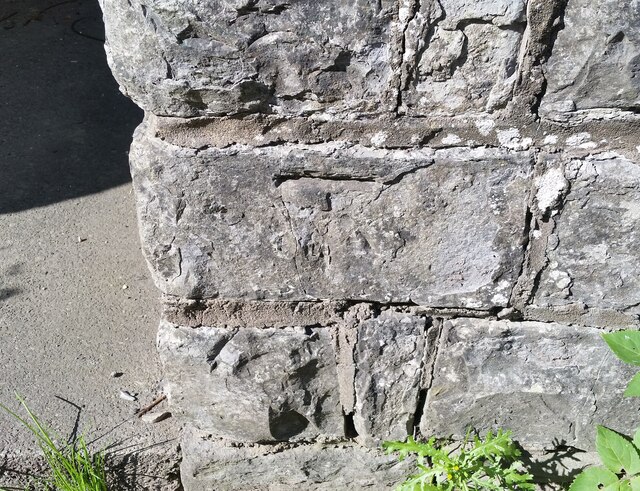
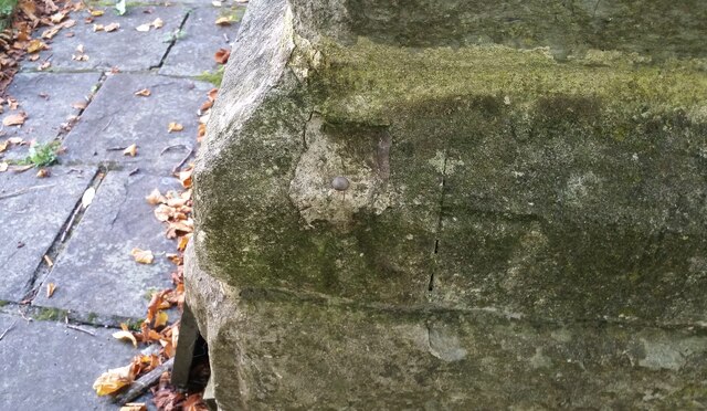
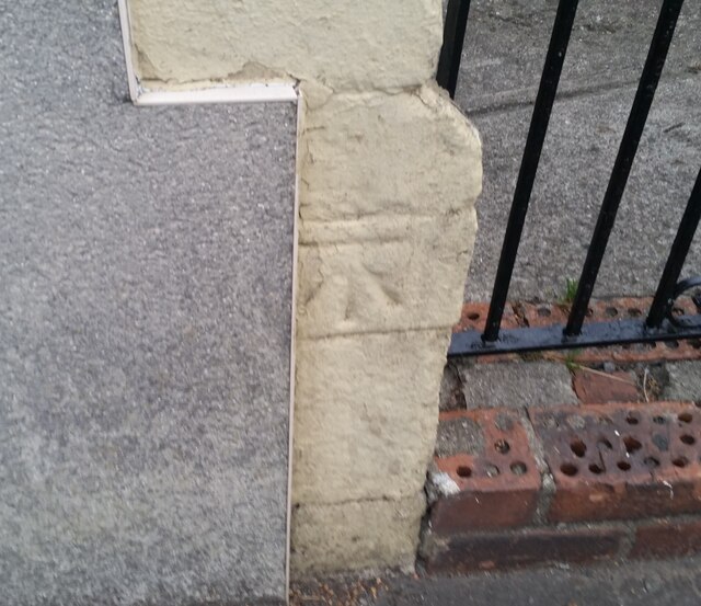
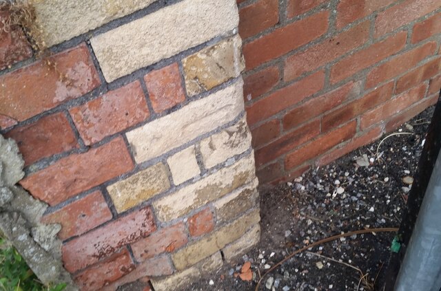
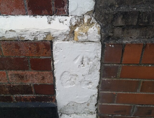
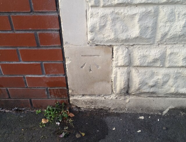
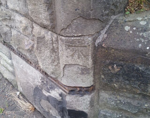
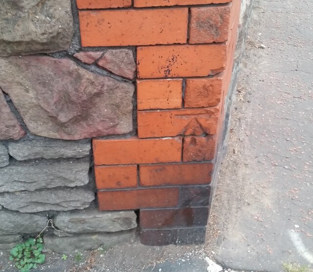
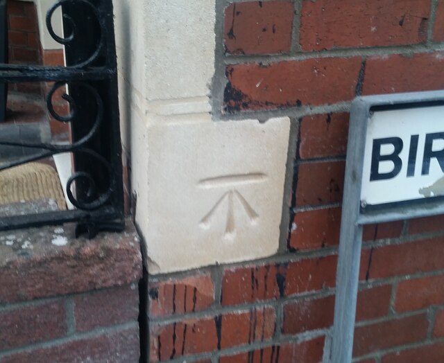
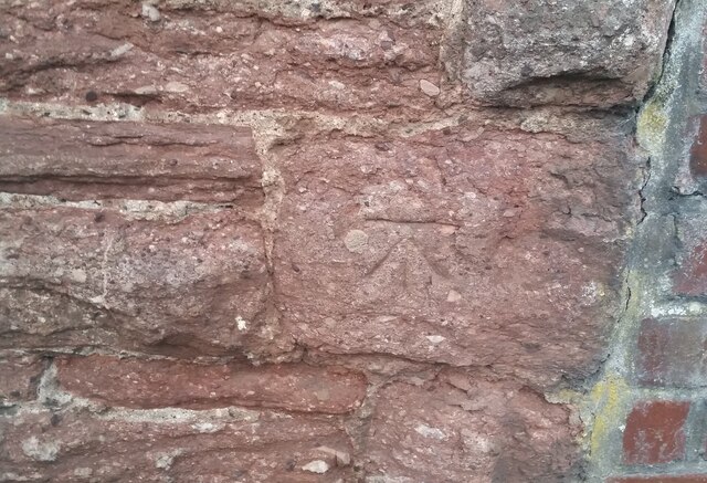
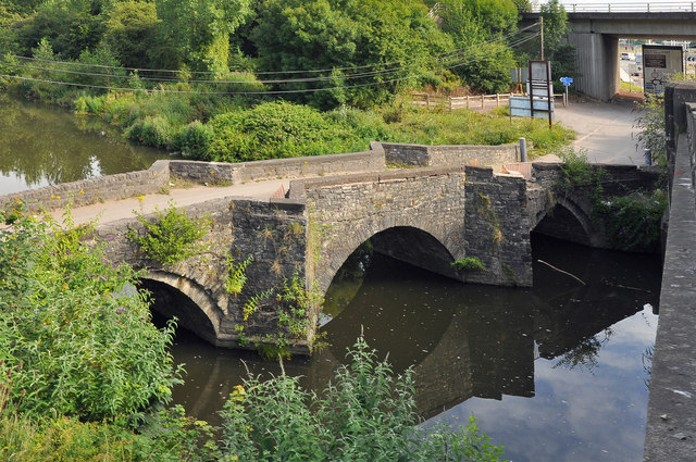
Plymouth Wood Images
Images are sourced within 2km of 51.472187/-3.2289482 or Grid Reference ST1475. Thanks to Geograph Open Source API. All images are credited.


Plymouth Wood is located at Grid Ref: ST1475 (Lat: 51.472187, Lng: -3.2289482)
Unitary Authority: The Vale of Glamorgan
Police Authority: South Wales
What 3 Words
///shaky.member.strut. Near Cardiff
Nearby Locations
Related Wikis

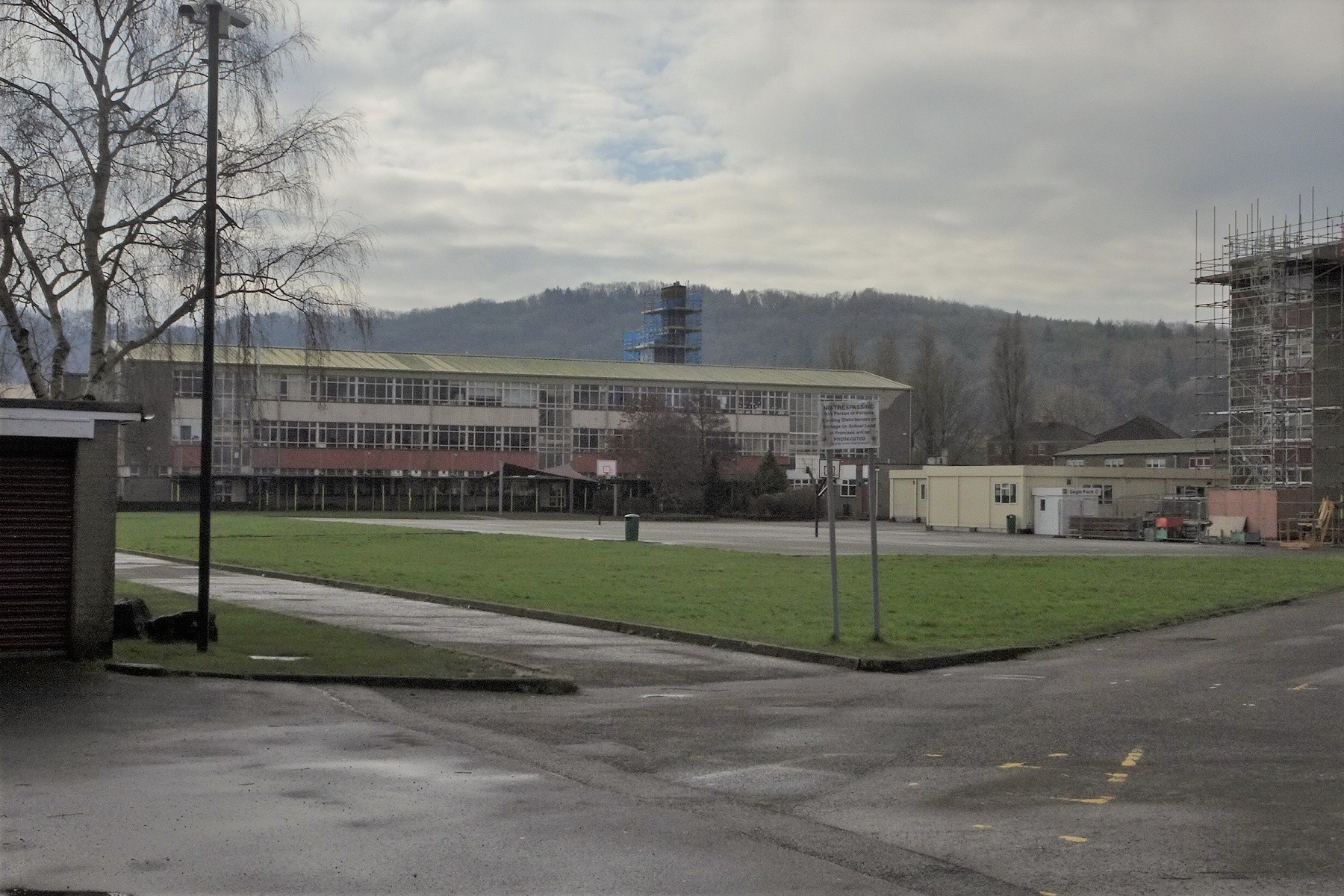
Cardiff West Community High School
Cardiff West Community High School is a secondary school in Ely, Cardiff, Wales, that teaches through the medium of English. == Construction == Cardiff...
Ely Racecourse
Ely Racecourse was a horse racing venue in the Ely district of Cardiff, Wales. The racecourse opened in 1855, with the first race being held on 30 May...
Sanatorium Park
Sanatorium Park (Welsh: Parc Sanatorium) is a public park in the Canton district of western Cardiff, Wales. It includes open green space, wildflower hedgerows...
Ely Hospital
Ely Hospital (Welsh: Ysbyty Trelái) was a large psychiatric hospital in the Ely district of Cardiff, Wales. An enquiry into the ill-treatment of patients...
Canton F.C.
Canton Football Club is a Welsh football team based in Canton, Cardiff, Wales. The club plays in the Ardal Leagues South West, which is tier three of the...

Caerau, Cardiff
Caerau ([ˈkai̯r.ai]) is a community in the west of Cardiff, capital city of Wales. Often considered part of Wenvoe by gully, Heol Trelai is the main road...
Leckwith Bridge
Leckwith Bridge, can refer to the medieval Grade II* listed stone bridge over the river Ely at Leckwith, Cardiff, or its 20th century replacement. ��2...
Fitzalan High School
Fitzalan High School (Welsh: Ysgol Uwchradd Fitzalan) is an 11–18 mixed, English-medium community secondary school and sixth form in Canton, Cardiff, Wales...
Related Videos

CARDIFF WALKING TOUR - CANTON, COWBRIDGE RD EAST. DAILY VLOGS UK
I'm in CARDIFF again today, heading down towards Canton, Cowbridge Rd East, from Cardiff Rail Station, past Cardiff's ...


Luke O’Nien gives shirt away after Sunderland beat Cardiff #sunderland #cardiff #sunderlandafc
safc #blackcats #wales #premierleague #efl #championship #football #soccer.

Self-Guided Pontcanna Walking Tour: Trendy, Leafy Neighborhood in Cardiff, Wales, UK (Oct'23)
In October 2023, I took a lovely morning stroll through Cardiff's trendy and leafy Pontcanna neighborhood. Join me on this relaxing ...
Nearby Amenities
Located within 500m of 51.472187,-3.2289482Have you been to Plymouth Wood?
Leave your review of Plymouth Wood below (or comments, questions and feedback).