Coed Gelli
Wood, Forest in Montgomeryshire
Wales
Coed Gelli
Coed Gelli is a picturesque woodland area located in Montgomeryshire, Wales. Spread over an area of approximately 500 acres, it is a haven for nature lovers and outdoor enthusiasts. The name "Coed Gelli" translates to "Wood, Forest" in English, which aptly describes the essence of this stunning location.
The woodland is predominantly composed of native broadleaf trees such as oak, beech, and birch, creating a diverse and vibrant ecosystem. The rich biodiversity of Coed Gelli is evident through the presence of a variety of flora and fauna species. Bluebells, primroses, and wild garlic adorn the forest floor during the spring season, adding a touch of color and fragrance to the surroundings.
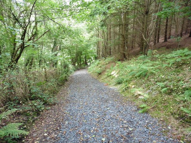
Visitors to Coed Gelli can enjoy several walking trails that meander through the woodland, offering a chance to immerse oneself in nature. The paths are well-maintained and cater to different levels of difficulty, accommodating both casual strollers and more adventurous hikers. Along the way, one may encounter a plethora of wildlife, including squirrels, badgers, and a wide range of bird species.
The tranquil atmosphere of Coed Gelli makes it an ideal spot for those seeking solitude and relaxation. The rustling of leaves, the chirping of birds, and the gentle breeze create a sense of serenity that is hard to find in more urbanized areas. Additionally, the woodland is equipped with picnic areas and benches, allowing visitors to enjoy a leisurely lunch amidst the natural beauty.
Coed Gelli is a true gem of Montgomeryshire, offering a peaceful escape from the hustle and bustle of everyday life. It is a place where one can reconnect with nature and appreciate the wonders of the Welsh countryside.
If you have any feedback on the listing, please let us know in the comments section below.
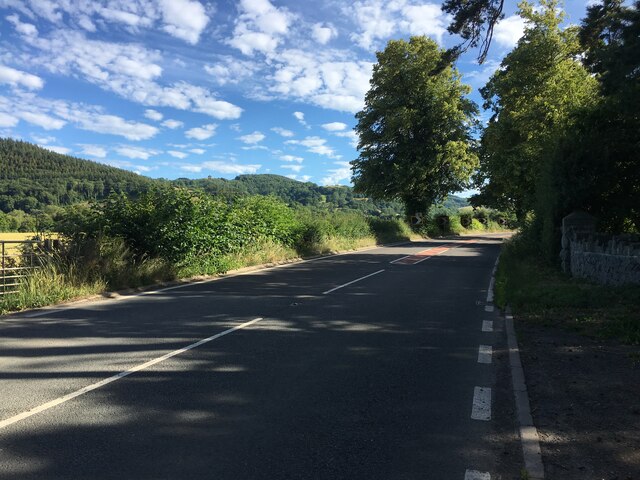
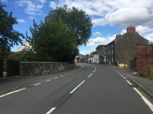
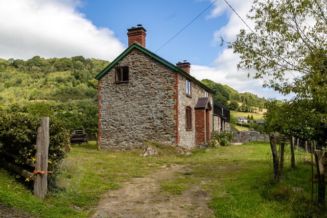
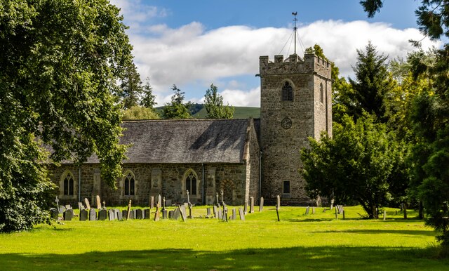
Coed Gelli Images
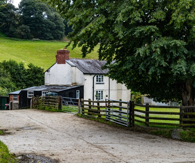
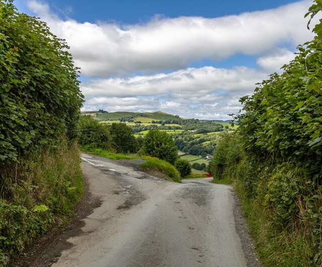
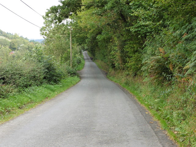
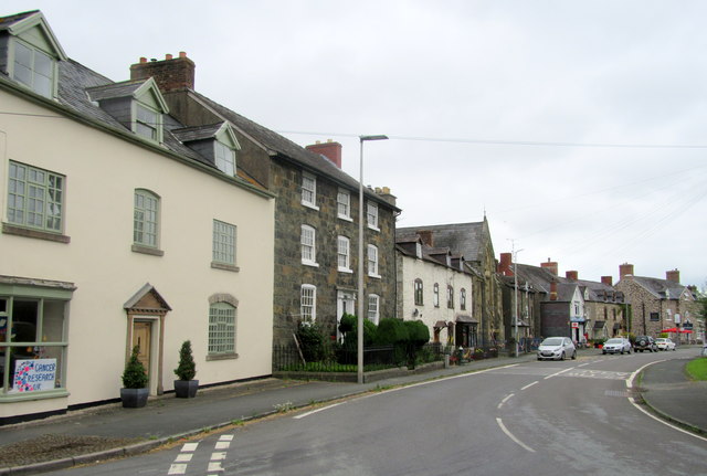
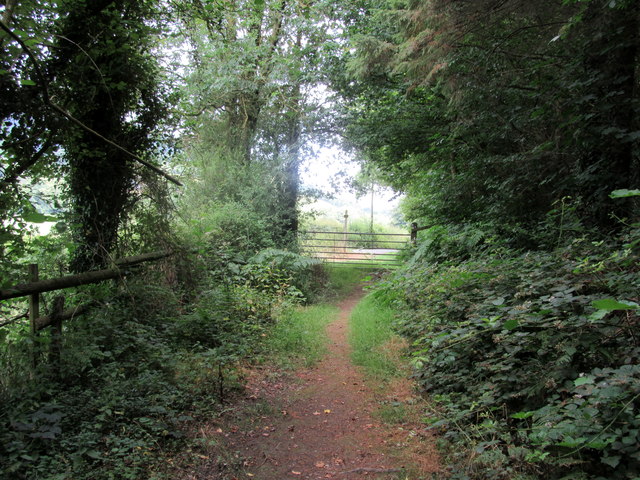
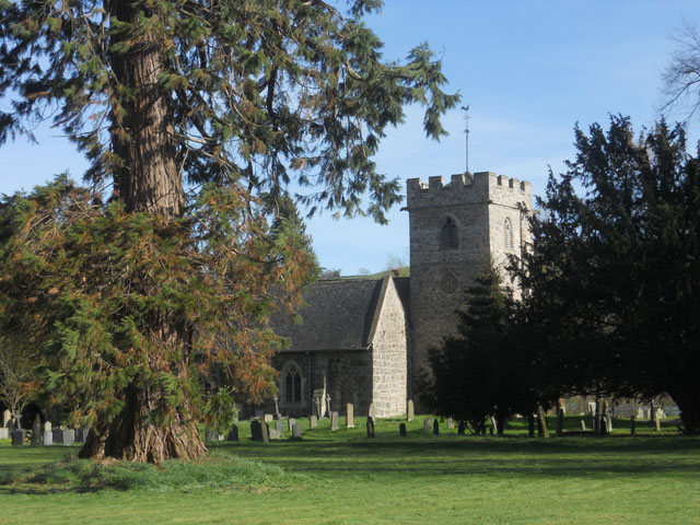
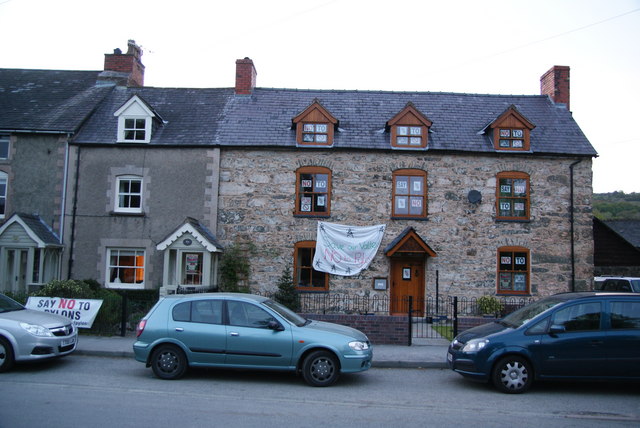
Images are sourced within 2km of 52.724389/-3.2639371 or Grid Reference SJ1414. Thanks to Geograph Open Source API. All images are credited.


Coed Gelli is located at Grid Ref: SJ1414 (Lat: 52.724389, Lng: -3.2639371)
Unitary Authority: Powys
Police Authority: Dyfed Powys
What 3 Words
///rooms.defrost.digits. Near Llanfyllin, Powys
Nearby Locations
Related Wikis

Meifod
Meifod, formerly also written Meivod (), is a small village, community and electoral ward 7 miles north-west of Welshpool in Montgomeryshire, Powys, Wales...

Allt-y-Main
Allt-y-Main is a hamlet in the community of Meifod, Powys, Wales, which is 86 miles (139 km) from Cardiff and 156 miles (252 km) from London. == References... ==
Dogfeiling
Dogfeiling was a minor sub-kingdom and later a commote in north Wales. It formed part of the eastern border of the Kingdom of Gwynedd in early medieval...

River Banwy
The River Banwy is a river about 19 miles (31 km) long in Powys, Wales. It is a tributary of the River Vyrnwy. The Banwy rises in the hills near the pass...
Nearby Amenities
Located within 500m of 52.724389,-3.2639371Have you been to Coed Gelli?
Leave your review of Coed Gelli below (or comments, questions and feedback).