Brooks
Settlement in Montgomeryshire
Wales
Brooks
Brooks is a small village located in the county of Montgomeryshire, Wales. Situated on the banks of the River Severn, it lies approximately 3 miles south of the town of Welshpool. With a population of around 500 residents, Brooks offers a peaceful and close-knit community atmosphere.
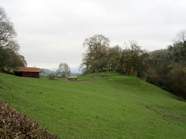
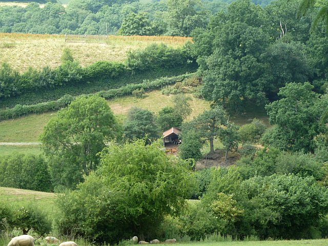
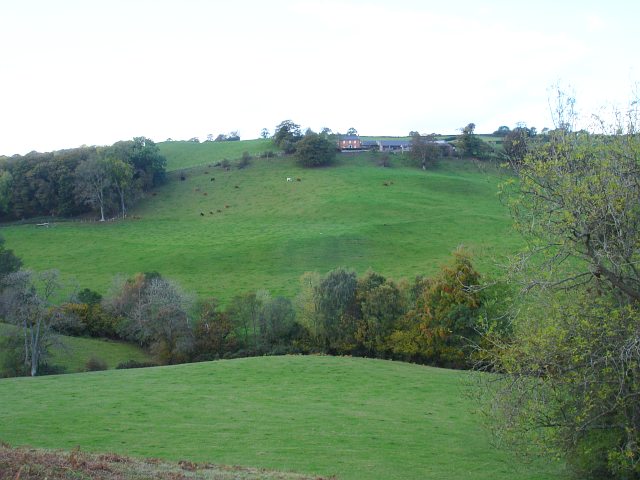
The village is surrounded by picturesque countryside, boasting stunning views of the rolling hills and lush green meadows that characterize the area. Its rural location makes it an ideal destination for those seeking tranquility and a connection with nature. The River Severn, which runs through the heart of the village, provides ample opportunities for fishing and boating enthusiasts.
Despite its small size, Brooks has a few amenities to offer its residents. The village has a local convenience store where residents can purchase everyday essentials. There is also a traditional pub, serving as a social hub for locals and visitors alike, providing a friendly and welcoming place to relax and unwind.
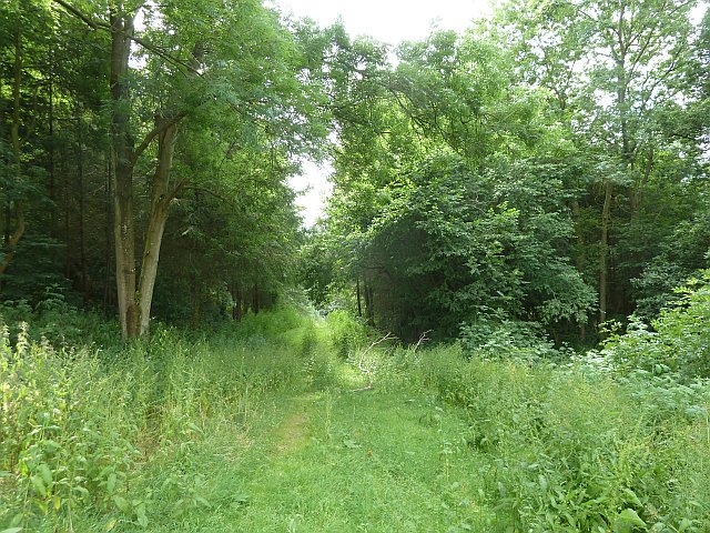
For those seeking recreational activities, Brooks is surrounded by numerous walking and cycling trails, allowing residents to explore the stunning countryside and enjoy the fresh air. The nearby town of Welshpool provides additional amenities, including supermarkets, schools, and healthcare facilities, ensuring that residents have access to all necessary services.
Overall, Brooks is a charming village, offering a peaceful and idyllic lifestyle surrounded by beautiful natural scenery. Its close-knit community and proximity to both nature and essential amenities make it an attractive place to live for those seeking a rural retreat.
If you have any feedback on the listing, please let us know in the comments section below.
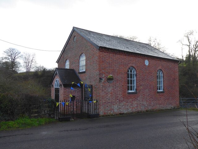
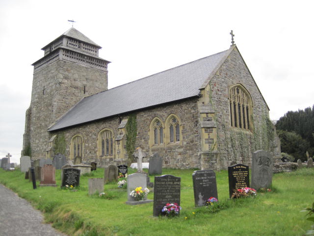
Brooks Images
Images are sourced within 2km of 52.585788/-3.26565 or Grid Reference SO1499. Thanks to Geograph Open Source API. All images are credited.


Brooks is located at Grid Ref: SO1499 (Lat: 52.585788, Lng: -3.26565)
Unitary Authority: Powys
Police Authority: Dyfed Powys
What 3 Words
///downhill.elevate.bullion. Near Llanfair Caereinion, Powys
Nearby Locations
Related Wikis

Stingwern Hill
Stingwern Hill, or ‘the Stingwern’ is a marilyn near Manafon in Mid Wales. Its summit is approximately 358 metres above sea level and has a prominence...
Bettws Cedewain
Bettws Cedewain (Welsh: Betws Cedewain), also known as Bettws Cedewen, is a small village and community in Montgomeryshire, Powys, Wales. It lies in a...
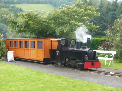
Rhiw Valley Light Railway
The Rhiw Valley Light Railway was a 15 in (381 mm) gauge railway located near to the village of Berriew in Powys, Wales. It closed on 2 October 2022....

Vaynor Park
Vaynor Park is a country house in a landscaped park, standing on high ground to the south-west of Berriew village, in the historic county of Montgomeryshire...
Nearby Amenities
Located within 500m of 52.585788,-3.26565Have you been to Brooks?
Leave your review of Brooks below (or comments, questions and feedback).