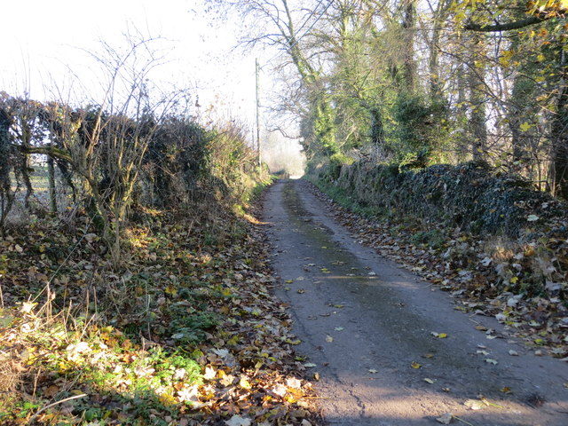
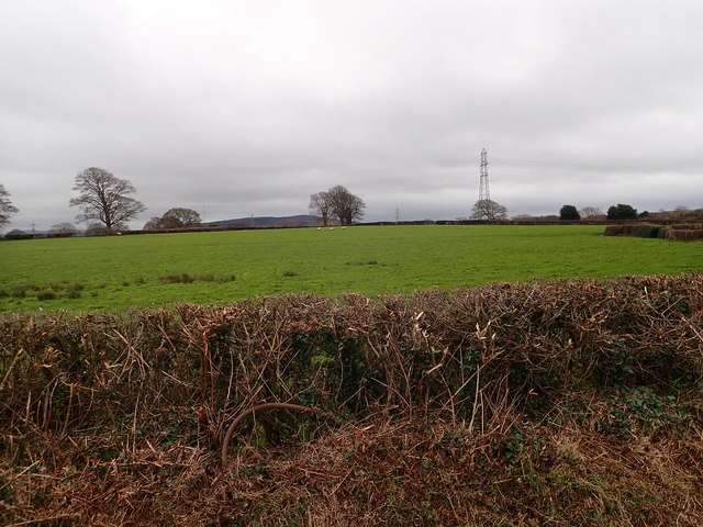
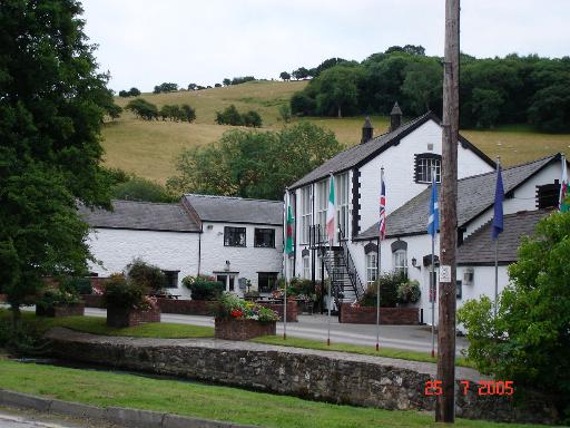
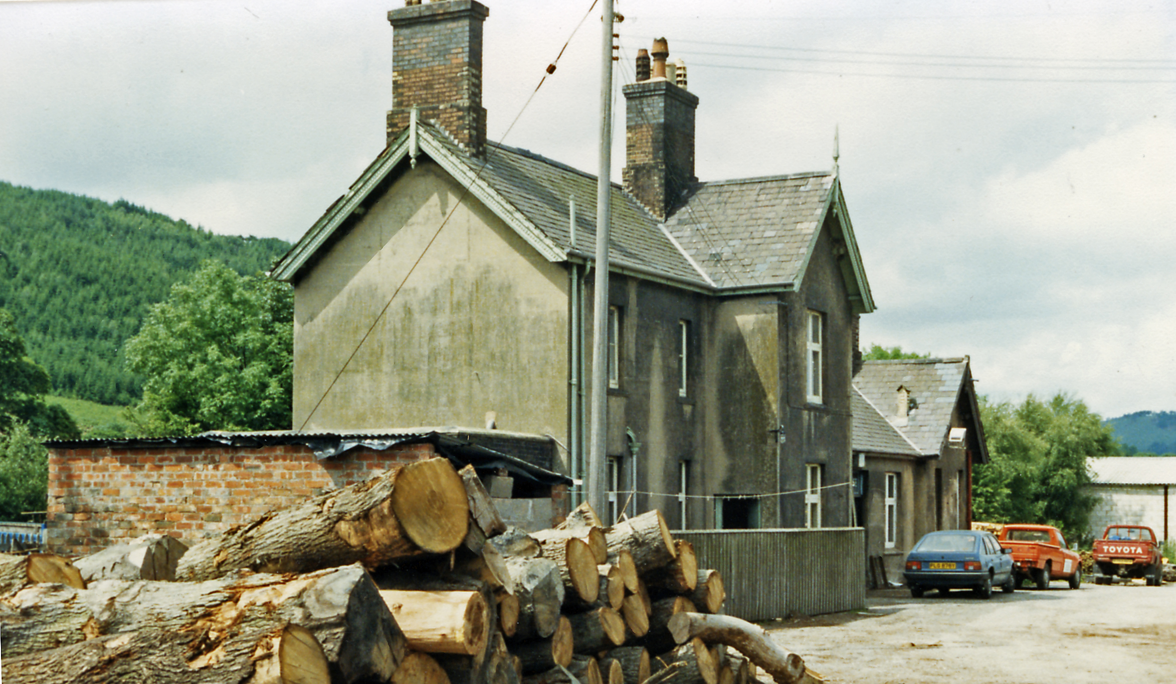
Coed Tan-y-walk
Wood, Forest in Flintshire
Wales
Coed Tan-y-walk
The requested URL returned error: 429 Too Many Requests
If you have any feedback on the listing, please let us know in the comments section below.
Coed Tan-y-walk Images
Images are sourced within 2km of 53.254126/-3.3027359 or Grid Reference SJ1373. Thanks to Geograph Open Source API. All images are credited.


Coed Tan-y-walk is located at Grid Ref: SJ1373 (Lat: 53.254126, Lng: -3.3027359)
Unitary Authority: Flintshire
Police Authority: North Wales
What 3 Words
///thing.shin.picturing. Near Whitford, Flintshire
Nearby Locations
Related Wikis

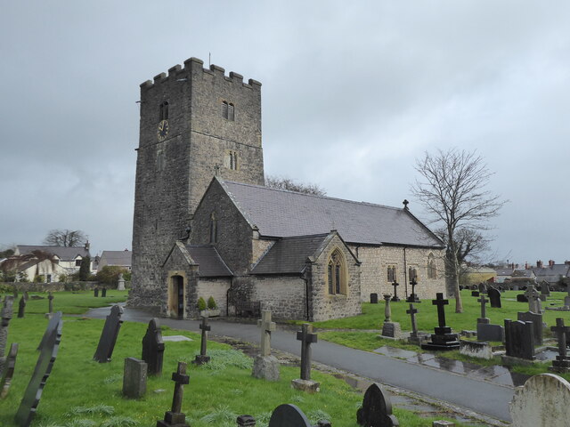
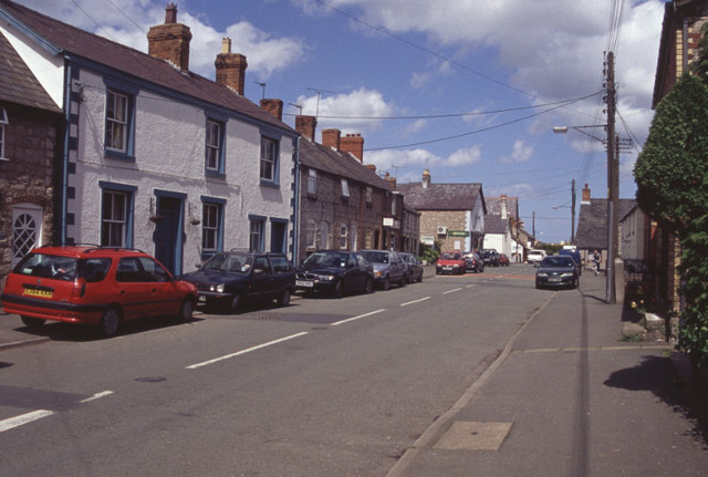
Caerwys
Caerwys is a town in Flintshire, Wales. It is just under two miles from the A55 North Wales Expressway and one mile from the A541 Mold-Denbigh road. At...

Caerwys Tufa
Caerwys Tufa is a Site of Special Scientific Interest in the preserved county of Clwyd, north Wales. Tufa, a very soft limestone that was once used to...
Afonwen
Afonwen ([ˌavɔnˈwɛn]; Welsh: Afon-wen) is a village in Flintshire, Wales. It is situated just under four miles from the A55 North Wales Expressway and...
Caerwys railway station
Caerwys railway station was a station in Afonwen, Flintshire, Wales. The station was named for nearby Caerwys, opened on 6 September 1869 and closed on...
Nearby Amenities
Located within 500m of 53.254126,-3.3027359Have you been to Coed Tan-y-walk?
Leave your review of Coed Tan-y-walk below (or comments, questions and feedback).