Black Plantation
Wood, Forest in Montgomeryshire
Wales
Black Plantation

The requested URL returned error: 429 Too Many Requests
If you have any feedback on the listing, please let us know in the comments section below.
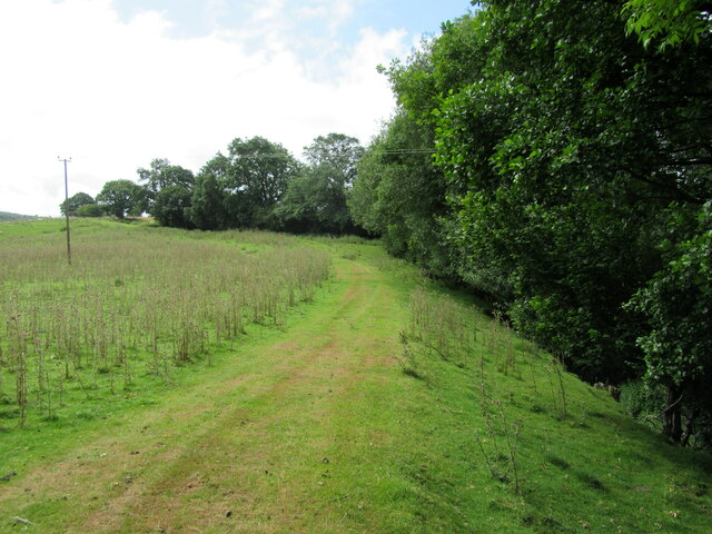
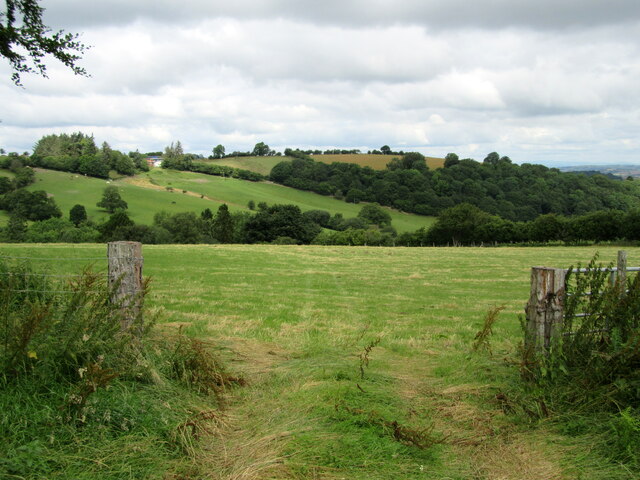
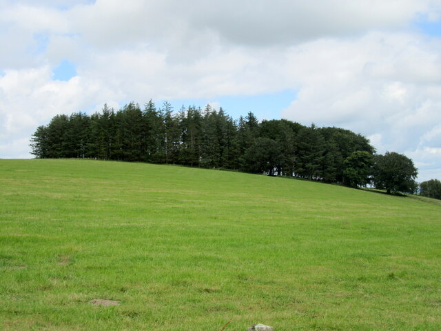
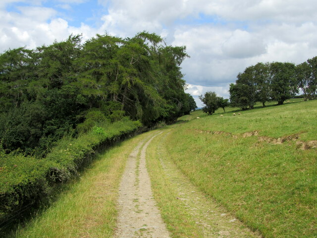
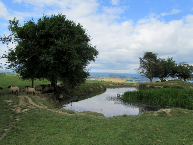
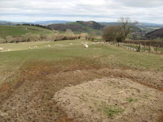
Black Plantation Images
Images are sourced within 2km of 52.483823/-3.2800605 or Grid Reference SO1388. Thanks to Geograph Open Source API. All images are credited.


Black Plantation is located at Grid Ref: SO1388 (Lat: 52.483823, Lng: -3.2800605)
Unitary Authority: Powys
Police Authority: Dyfed Powys
What 3 Words
///abandons.waffle.birthing. Near Newtown, Powys
Nearby Locations
Related Wikis
Kerry Tramway
The Kerry Tramway was a 2 ft (610 mm) narrow gauge railway built in 1887 to serve the timber workings and slab quarry to the south of the village of Kerry...

Kerry, Powys
Kerry (Welsh: Ceri) is a village and geographically large community in Montgomeryshire, Powys, Wales. The village lies on the A489 road 2.8 miles (4.5...
Kerry F.C. (Wales)
Kerry Football Club is a Welsh football team based in the village of Kerry, Powys, Wales. They play in the Central Wales Northern Division, which is in...

St Michael and All Angels Church, Kerry
St Michael's Church is the parish church of Kerry, in the historic county of Montgomeryshire, now Powys. Kerry is sited about 3 miles to the S E of Newtown...
Nearby Amenities
Located within 500m of 52.483823,-3.2800605Have you been to Black Plantation?
Leave your review of Black Plantation below (or comments, questions and feedback).