Penaran

Settlement in Montgomeryshire

Wales

Penaran

Cae-betin Wood
Cae-betin Wood Credit: Peter McDermott

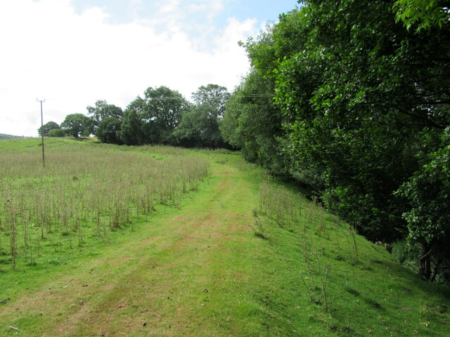
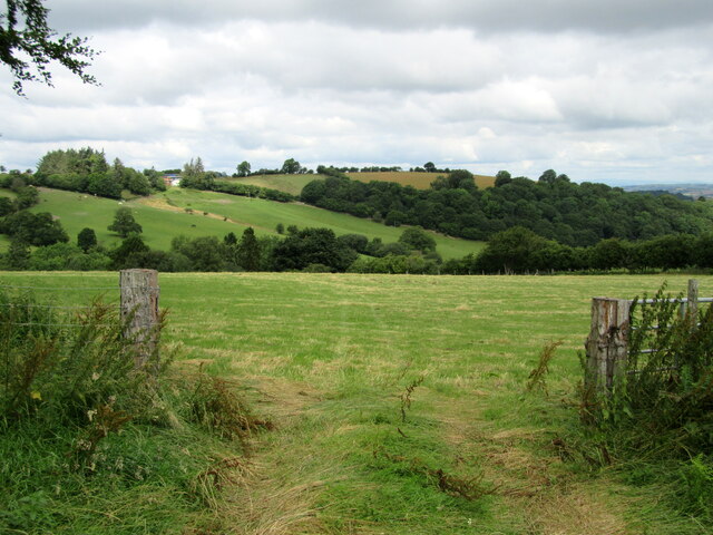
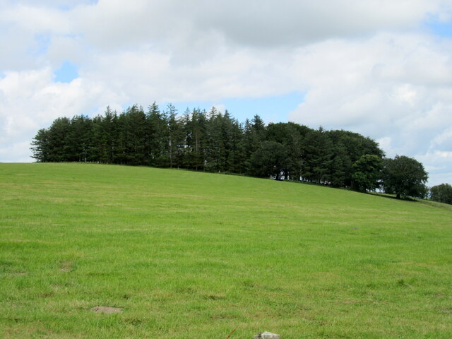
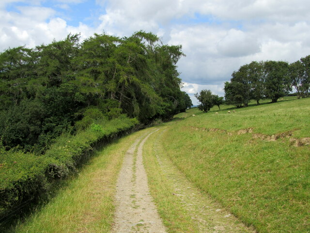
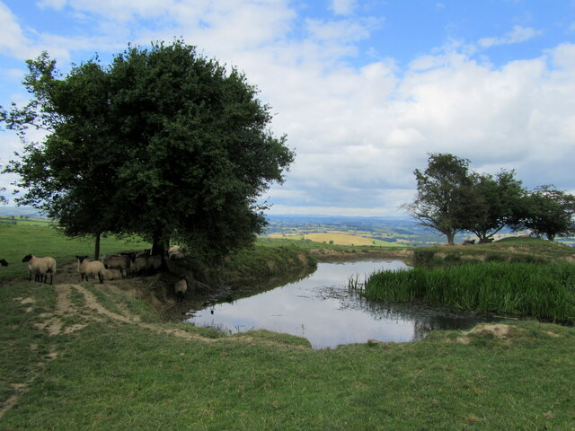
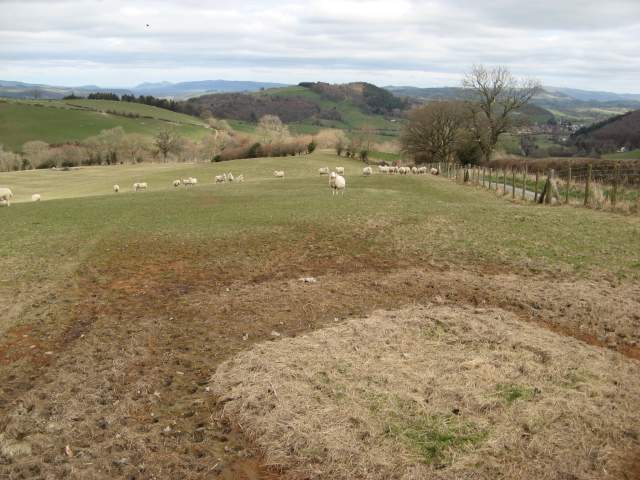
Penaran is a small village located in Montgomeryshire, Wales. Situated in a rural setting, Penaran is surrounded by lush green fields and rolling hills, providing a picturesque backdrop for its residents. The village is known for its close-knit community and friendly atmosphere.

Penaran has a rich history, with many historic buildings dotting its landscape, including a 14th-century church and a traditional Welsh pub. The village is also home to a primary school, providing education for the local children.

Despite its small size, Penaran offers a range of amenities for its residents, including a village shop, post office, and a community center. The village is well-connected to the surrounding areas by road, making it easy for residents to access nearby towns and cities.

Overall, Penaran is a charming village with a strong sense of community and a peaceful, rural setting. It offers a tranquil escape from the hustle and bustle of city life, making it a popular choice for those looking for a quiet and idyllic place to call home.

If you have any feedback on the listing, please let us know in the comments section below.

Penaran Images

Images are sourced within 2km of 52.486119/-3.278987 or Grid Reference SO1388. Thanks to Geograph Open Source API. All images are credited.

Cae-betin Wood
Cae-betin Wood
Blackhill Blackhill Farm.
Blackhill
Blackhill Farm.
A clear path Unlike the official route which is down to the left in an overgrown hollow way; impassable.
A clear path
Unlike the official route which is down to the left in an overgrown hollow way; impassable.
Gateway and field With a view across the valley.
Gateway and field
With a view across the valley.
Cae-betin Wood
Cae-betin Wood
Well-hidden footpaths Two footpaths leave the minor road at this gate. Neither is signposted.
Well-hidden footpaths
Two footpaths leave the minor road at this gate. Neither is signposted.
Roadside willow-herb
Footpath on farm track
Farm pond Providing water for sheep.
Farm pond
Providing water for sheep.
Hay field near Pen-y-wern Farmers have been taking advantage of the extended hot dry spell, stocking up feed for the winter and doubtless hoping we don't get another lengthy one like the last.
View is south east across the Kerry Hills.
Hay field near Pen-y-wern
Farmers have been taking advantage of the extended hot dry spell, stocking up feed for the winter and doubtless hoping we don't get another lengthy one like the last. View is south east across the Kerry Hills.
Valley view A view from the southern side of the ridge, looking towards Ceri.
Valley view
A view from the southern side of the ridge, looking towards Ceri.
Upper Cefn Perfa A view of the farm buildings which straddle the road. A new house has been built, and the brick barn appears to be for sale with a view to conversion.
Upper Cefn Perfa
A view of the farm buildings which straddle the road. A new house has been built, and the brick barn appears to be for sale with a view to conversion.
Poached pasture Curious geometric designs in the muddy pasture where a feeding station has been located over Winter. The view takes in the road leading to Ceri and the Miwl Valley
Poached pasture
Curious geometric designs in the muddy pasture where a feeding station has been located over Winter. The view takes in the road leading to Ceri and the Miwl Valley
Quarried slope A convenient quarry for hardcore about the farm. The rock outcrop is of the Bailey Hill Formation, of Silurian (Gorstian - Lufordian) age, and comprises turbiditic sandstones and siltstones. From the colour and weathering, I would expect these are mostly silty in nature. Rock outcrops are rare in this area, so this is potentially quite important.
Quarried slope
A convenient quarry for hardcore about the farm. The rock outcrop is of the Bailey Hill Formation, of Silurian (Gorstian - Lufordian) age, and comprises turbiditic sandstones and siltstones. From the colour and weathering, I would expect these are mostly silty in nature. Rock outcrops are rare in this area, so this is potentially quite important.
Afon Miwl A ford on a farm track where it crosses the Afon Miwl / The Mule.
Afon Miwl
A ford on a farm track where it crosses the Afon Miwl / The Mule.
Steep lane A very steep, incised lane leading between Lower and Upper Wig. The Welsh habit of prolonging certain vowels leads to the interesting anglicising of the names to Weeg at times. The tree on the right looks very precarious, forming a wooden wall at the roadside.
Steep lane
A very steep, incised lane leading between Lower and Upper Wig. The Welsh habit of prolonging certain vowels leads to the interesting anglicising of the names to Weeg at times. The tree on the right looks very precarious, forming a wooden wall at the roadside.
Wood stack and Upper Wig A roadside scene by the farm of Upper Wig, anglicised as Weeg.
Wood stack and Upper Wig
A roadside scene by the farm of Upper Wig, anglicised as Weeg.
Show me another place!

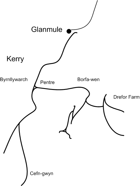
Penaran is located at Grid Ref: SO1388 (Lat: 52.486119, Lng: -3.278987)

Unitary Authority: Powys

Police Authority: Dyfed Powys

Also known as: Penarron

What 3 Words

///riding.cigar.dusters. Near Newtown, Powys

Related Wikis

Kerry Tramway

The Kerry Tramway was a 2 ft (610 mm) narrow gauge railway built in 1887 to serve the timber workings and slab quarry to the south of the village of Kerry...

Kerry, Powys

Kerry (Welsh: Ceri) is a village and geographically large community in Montgomeryshire, Powys, Wales. The village lies on the A489 road 2.8 miles (4.5...

Kerry F.C. (Wales)

Kerry Football Club is a Welsh football team based in the village of Kerry, Powys, Wales. They play in the Central Wales Northern Division, which is in...

St Michael and All Angels Church, Kerry

St Michael's Church is the parish church of Kerry, in the historic county of Montgomeryshire, now Powys. Kerry is sited about 3 miles to the S E of Newtown...

Nearby Amenities

Located within 500m of 52.486119,-3.278987
Place: farm
Lat/Long: 52.4866674/-3.273854
Place: farm
Lat/Long: 52.4843415/-3.2830808
Building: yes
Lat/Long: 52.484571/-3.2808943
The data included in this document is from www.openstreetmap.org. The data is made available under ODbL.

Have you been to Penaran?

Leave your review of Penaran below (or comments, questions and feedback).