Coed Tan-y-plâs

Wood, Forest in Flintshire

Wales

Coed Tan-y-plâs

St Michael's Church, Caerwys
St Michael's Church, Caerwys Credit: Chris Andrews

Coed Tan-y-plâs is a woodland area located in Flintshire, Wales. Covering an area of approximately 80 hectares, this forest is a mix of both coniferous and deciduous trees, providing a diverse habitat for a variety of plant and animal species. The forest is managed by Natural Resources Wales, who work to maintain the biodiversity of the area and promote sustainable forestry practices.

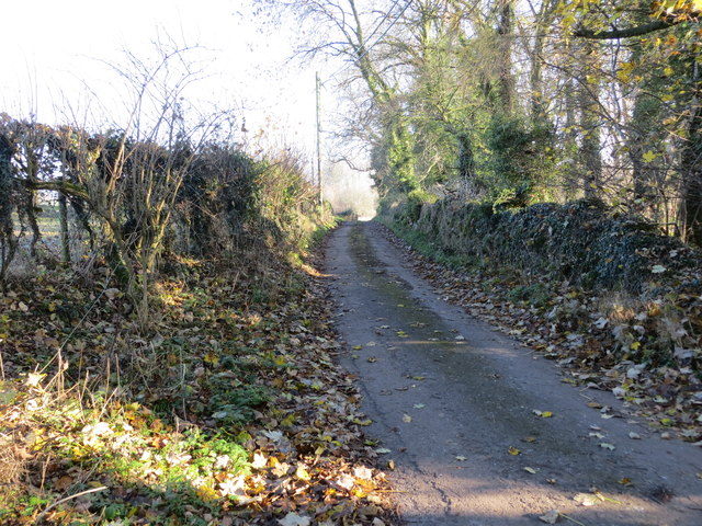
Visitors to Coed Tan-y-plâs can enjoy a network of walking trails that lead through the woodland, offering opportunities to observe the local wildlife and take in the scenic beauty of the forest. The forest is also home to a number of bird species, making it a popular spot for birdwatching enthusiasts.

Coed Tan-y-plâs is a peaceful and tranquil setting, ideal for those looking to escape the hustle and bustle of urban life and immerse themselves in nature. Whether taking a leisurely stroll through the trees or simply enjoying a picnic in the forest, visitors to Coed Tan-y-plâs are sure to find a sense of relaxation and rejuvenation in this natural oasis.

If you have any feedback on the listing, please let us know in the comments section below.

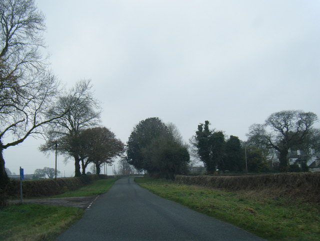
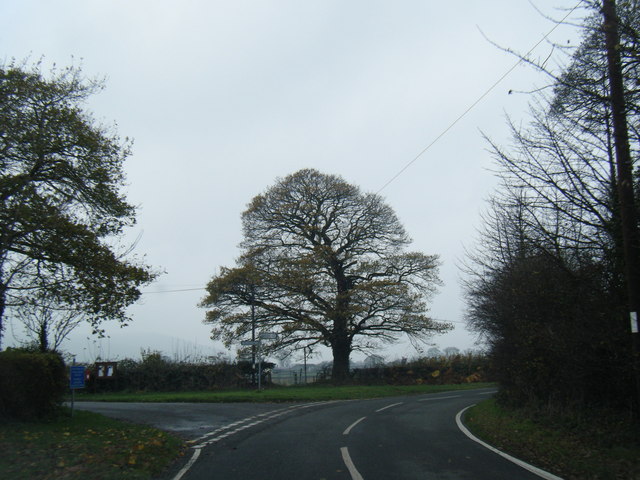
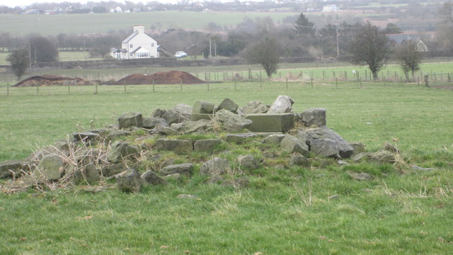
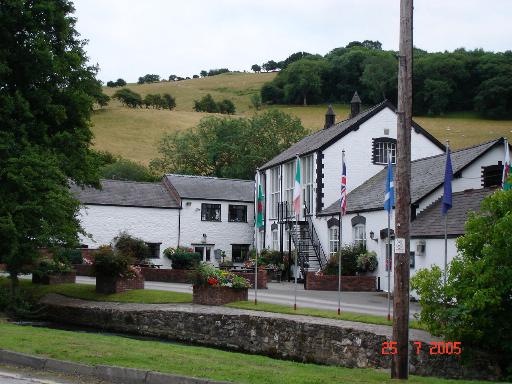
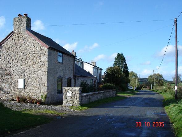
Coed Tan-y-plâs Images

Images are sourced within 2km of 53.25488/-3.2961783 or Grid Reference SJ1373. Thanks to Geograph Open Source API. All images are credited.

St Michael's Church, Caerwys
Caerwys, St Michael
Caerwys, St Michael
South Street, Caerwys Although only really a village, Caerwys proudly claims itself to be the smallest town in Great Britain with a royal charter - and indeed it does have a town council and its own mayor.
South Street, Caerwys
Although only really a village, Caerwys proudly claims itself to be the smallest town in Great Britain with a royal charter - and indeed it does have a town council and its own mayor.
Babell village and Black Lion Inn
Lane at Waen-isaf
Lane at Waen-isaf
Lane junction at Groes Faen Bach
The remains of the Holywell Racecourse Grandstand I believe that the wood and stone structure was evident until a few years ago but all that is left is a couple of piles of stones.
The remains of the Holywell Racecourse Grandstand
I believe that the wood and stone structure was evident until a few years ago but all that is left is a couple of piles of stones.
Fish Farm Buildings - Caerwys Old farm buildings now used as a fish farm
Fish Farm Buildings - Caerwys
Old farm buildings now used as a fish farm
Cottage Farm Rather large for a Cottage!
Cottage Farm
Rather large for a Cottage!
Arwyddion ffordd yn troi / Bend in road signs
Neuadd Dref Caersws / Caersws Town Hall
Capel Bethel Bethel is a bilingual Presbyterian chapel.
Capel Bethel
Bethel is a bilingual Presbyterian chapel.
Pwll wedi  ei or-dyfu / An overgrown pond
Pwll wedi ei or-dyfu / An overgrown pond
The burial ground and church of St Michael at Caerwys Viewed from the east.
The burial ground and church of St Michael at Caerwys
Viewed from the east.
Drovers Lane in Caerwys Looking eastward.
Drovers Lane in Caerwys
Looking eastward.
Hollywell Road leaving Caerwys Looking north-eastward.
Hollywell Road leaving Caerwys
Looking north-eastward.
Water Street in Caerwys Looking north-westward.
Water Street in Caerwys
Looking north-westward.
A section of hedge and tree-lined minor road near Coed y Carreg Looking eastward.
A section of hedge and tree-lined minor road near Coed y Carreg
Looking eastward.
Show me another place!

Coed Tan-y-plâs is located at Grid Ref: SJ1373 (Lat: 53.25488, Lng: -3.2961783)

Unitary Authority: Flintshire

Police Authority: North Wales

What 3 Words

///digitally.sized.until. Near Whitford, Flintshire

Related Wikis

Caerwys

Caerwys is a town in Flintshire, Wales. It is just under two miles from the A55 North Wales Expressway and one mile from the A541 Mold-Denbigh road. At...

Caerwys Tufa

Caerwys Tufa is a Site of Special Scientific Interest in the preserved county of Clwyd, north Wales. Tufa, a very soft limestone that was once used to...

Afonwen

Afonwen ([ˌavɔnˈwɛn]; Welsh: Afon-wen) is a village in Flintshire, Wales. It is situated just under four miles from the A55 North Wales Expressway and...

Babell

Babell is a hamlet in Flintshire, Wales. It is part of the community of Ysgeifiog. The hamlet takes its name from the Babell Methodist chapel, built in...

Nearby Amenities

Located within 500m of 53.25488,-3.2961783
Name Cy: Ffordd Treffynnon
Lat/Long: 53.2521514/-3.2982287
Power: pole
Lat/Long: 53.2551589/-3.289017
Power: pole
Lat/Long: 53.2548614/-3.2903996
Power: pole
Lat/Long: 53.2540866/-3.2917602
Power: pole
Lat/Long: 53.2535733/-3.2926291
Power: pole
Lat/Long: 53.2528181/-3.2939679
Power: pole
Lat/Long: 53.2522296/-3.2956783
Power: pole
Lat/Long: 53.2519419/-3.2977384
Power: pole
Lat/Long: 53.2512521/-3.2988203
Power: pole
Lat/Long: 53.2536946/-3.2946929
Power: pole
Lat/Long: 53.2537215/-3.2929908
Power: pole
Lat/Long: 53.2537439/-3.2915131
Power: pole
Lat/Long: 53.2542027/-3.2902636
Power: pole
Lat/Long: 53.2547062/-3.2888345
Power: pole
Lat/Long: 53.2536702/-3.296339
Power: pole
Lat/Long: 53.2536542/-3.2969747
Power: pole
Lat/Long: 53.2526304/-3.2986296
Power: pole
Lat/Long: 53.2522404/-3.299209
Power: pole
Lat/Long: 53.2515696/-3.3002872
Power: pole
Lat/Long: 53.2531246/-3.2978169
Power: tower
Lat/Long: 53.2554806/-3.2924762
Power: tower
Lat/Long: 53.2570304/-3.2964419
Ffynnon Rhydlydan
Natural: spring
Lat/Long: 53.251523/-3.2972598
Natural: cave_entrance
Lat/Long: 53.2515158/-3.2971643
Power: pole
Lat/Long: 53.2563987/-3.3003589
Power: pole
Lat/Long: 53.2560649/-3.2994443
Power: pole
Lat/Long: 53.2557344/-3.298535
Power: pole
Lat/Long: 53.2550091/-3.2984385
Power: pole
Lat/Long: 53.254303/-3.2982883
Power: pole
Lat/Long: 53.2539821/-3.2976392
Hen Gaerwys Earthworks
Historic: archaeological_site
Lat/Long: 53.258633/-3.2953498
The data included in this document is from www.openstreetmap.org. The data is made available under ODbL.

Have you been to Coed Tan-y-plâs?

Leave your review of Coed Tan-y-plâs below (or comments, questions and feedback).