Coed Glynbâch
Wood, Forest in Flintshire
Wales
Coed Glynbâch
Coed Glynbâch is a picturesque woodland located in Flintshire, Wales. Spanning over a vast area of land, this serene forest is a haven for nature enthusiasts and those seeking a tranquil retreat. The name "Glynbâch" translates to "small valley" in Welsh, perfectly capturing the essence of this enchanting destination.
The forest boasts a diverse range of tree species, including oak, beech, and birch, which create a lush and vibrant canopy. The woodland floor is adorned with a rich carpet of mosses, ferns, and wildflowers, adding to its natural beauty. Coed Glynbâch is home to a variety of wildlife, such as red squirrels, foxes, and a plethora of bird species, making it an ideal destination for birdwatchers and wildlife enthusiasts.
The forest offers a network of well-maintained trails, allowing visitors to explore its depths and enjoy the breathtaking scenery. These paths cater to different levels of difficulty, accommodating both casual walkers and seasoned hikers. Along the way, visitors can discover picturesque streams, quaint bridges, and hidden waterfalls, creating a truly immersive experience.
Coed Glynbâch also provides ample opportunities for outdoor activities, such as camping, picnicking, and photography. The peaceful atmosphere and stunning surroundings make it an idyllic spot for relaxation and rejuvenation. Additionally, the forest offers educational programs and guided tours to promote environmental awareness and conservation.
Overall, Coed Glynbâch is a hidden gem in Flintshire, offering a slice of natural paradise. Its verdant woodlands, diverse wildlife, and scenic trails make it a must-visit destination for nature lovers and those seeking solace in the beauty of the great outdoors.
If you have any feedback on the listing, please let us know in the comments section below.
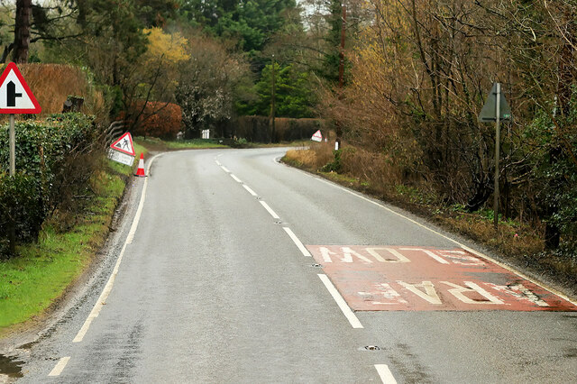
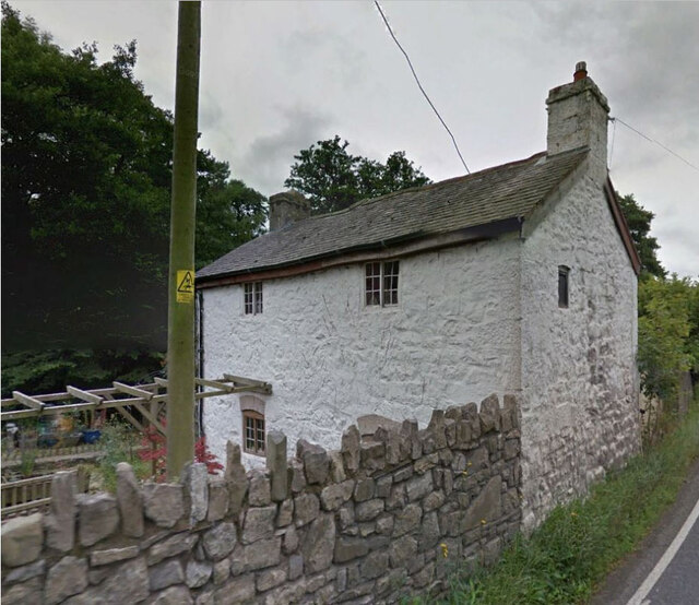
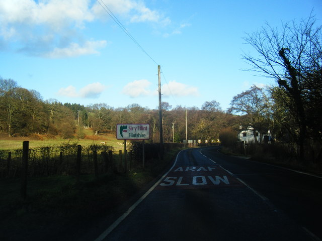
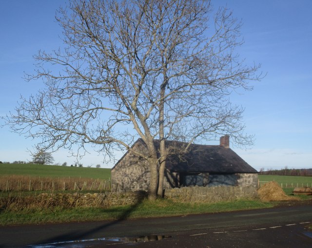
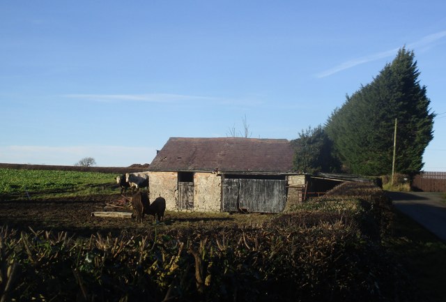
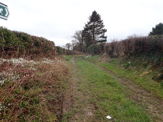
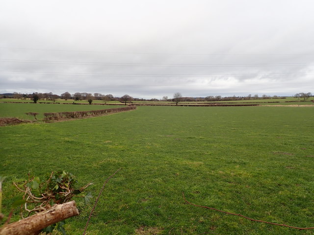
Coed Glynbâch Images
Images are sourced within 2km of 53.250155/-3.3430087 or Grid Reference SJ1073. Thanks to Geograph Open Source API. All images are credited.


Coed Glynbâch is located at Grid Ref: SJ1073 (Lat: 53.250155, Lng: -3.3430087)
Unitary Authority: Flintshire
Police Authority: North Wales
What 3 Words
///waged.curated.arranges. Near Cwm, Denbighshire
Nearby Locations
Related Wikis
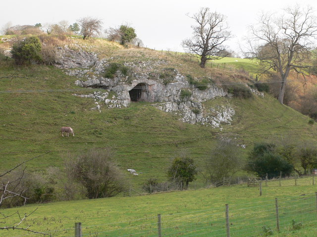
Ffynnon Beuno and Cae Gwyn Caves
Ffynnon Beuno and Cae Gwyn Caves are two Scheduled Ancient Monuments, in Denbighshire, Wales, which are also designated a Site of Special Scientific Interest...

Tremeirchion
Tremeirchion (previously known as Lleweni) is a small residential community in Denbighshire, Wales. It lies on the B5429 road, to the north east of Denbigh...

Caerwys
Caerwys is a town in Flintshire, Wales. It is just under two miles from the A55 North Wales Expressway and one mile from the A541 Mold-Denbigh road. At...
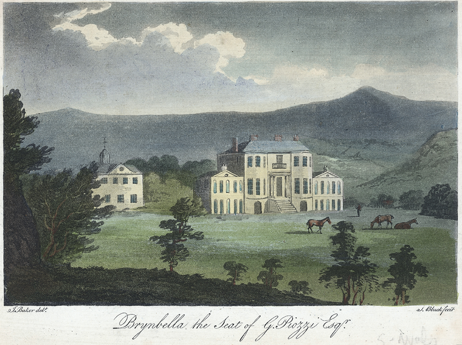
Brynbella
Brynbella is a neoclassical villa built near the village of Tremeirchion in Denbighshire, northeast Wales, by Hester Piozzi and her husband, Gabriel Piozzi...
Nearby Amenities
Located within 500m of 53.250155,-3.3430087Have you been to Coed Glynbâch?
Leave your review of Coed Glynbâch below (or comments, questions and feedback).