Coed y Glyn
Wood, Forest in Flintshire
Wales
Coed y Glyn
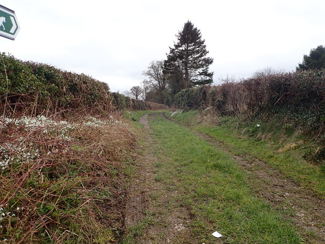
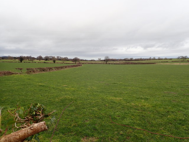
Coed y Glyn is a woodland located in Flintshire, Wales. Covering an area of approximately 200 hectares, this forest is known for its diverse range of flora and fauna, making it a popular destination for nature lovers and outdoor enthusiasts.
The woodland is predominantly made up of native broadleaf trees, including oak, beech, and birch, creating a rich and vibrant ecosystem. A variety of bird species can be spotted in Coed y Glyn, such as woodpeckers, red kites, and owls, making it a great spot for birdwatching.
Visitors to the forest can enjoy a network of walking trails that wind their way through the trees, providing opportunities to explore the natural beauty of the area. There are also designated picnic areas where visitors can relax and enjoy a meal surrounded by the sights and sounds of the woodland.
Coed y Glyn is not only a place of natural beauty but also plays an important role in conservation efforts, helping to protect and preserve the local wildlife and habitats. It is a peaceful and serene escape from the hustle and bustle of everyday life, offering a tranquil environment for visitors to connect with nature.
If you have any feedback on the listing, please let us know in the comments section below.
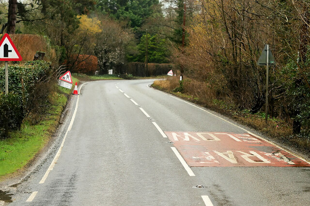
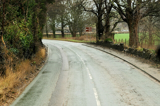
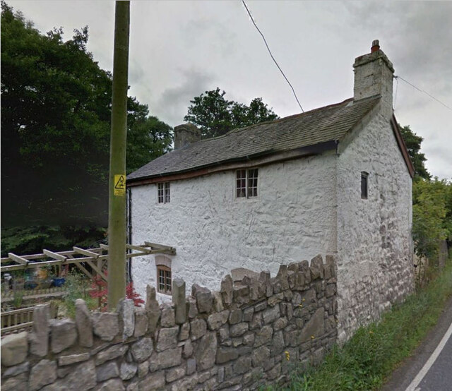
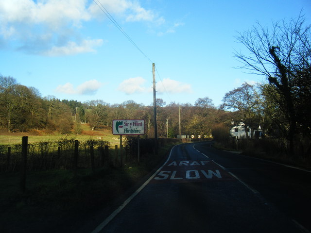
Coed y Glyn Images
Images are sourced within 2km of 53.246885/-3.3435657 or Grid Reference SJ1073. Thanks to Geograph Open Source API. All images are credited.


Coed y Glyn is located at Grid Ref: SJ1073 (Lat: 53.246885, Lng: -3.3435657)
Unitary Authority: Denbighshire
Police Authority: North Wales
What 3 Words
///spoiler.transmit.vintages. Near Cwm, Denbighshire
Nearby Locations
Related Wikis
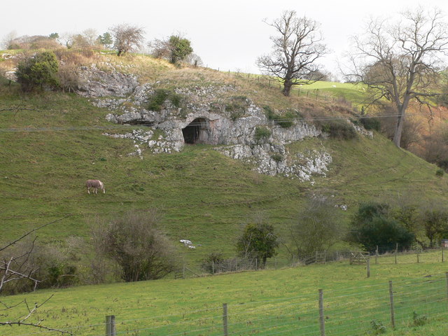
Ffynnon Beuno and Cae Gwyn Caves
Ffynnon Beuno and Cae Gwyn Caves are two Scheduled Ancient Monuments, in Denbighshire, Wales, which are also designated a Site of Special Scientific Interest...

Tremeirchion
Tremeirchion (previously known as Lleweni) is a small residential community in Denbighshire, Wales. It lies on the B5429 road, to the north east of Denbigh...
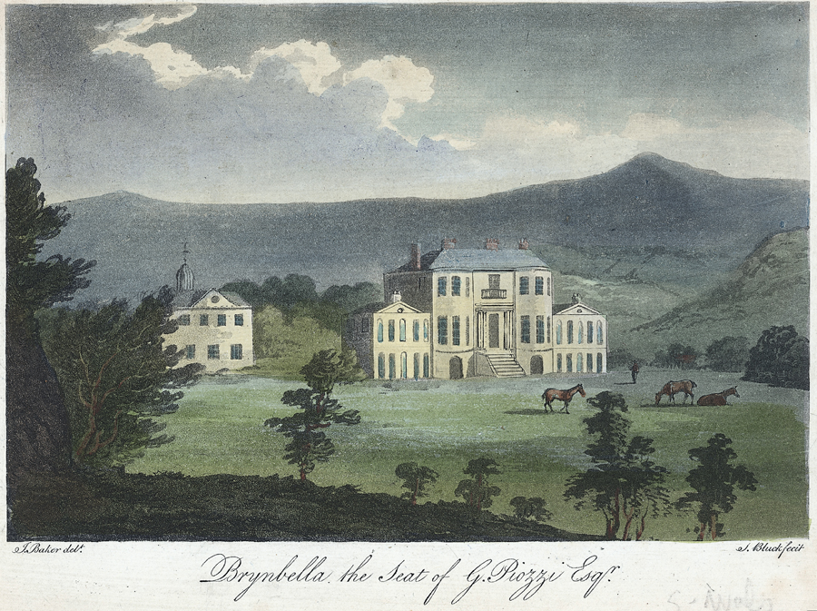
Brynbella
Brynbella is a neoclassical villa built near the village of Tremeirchion in Denbighshire, northeast Wales, by Hester Piozzi and her husband, Gabriel Piozzi...

Moel y Gaer, Bodfari
Moel y Gaer (Welsh for "bald hill of the fortress") is an Iron Age hillfort at the northern end of the Clwydian Range, located on a summit overlooking...
Nearby Amenities
Located within 500m of 53.246885,-3.3435657Have you been to Coed y Glyn?
Leave your review of Coed y Glyn below (or comments, questions and feedback).