Cwm Wood

Wood, Forest in Montgomeryshire

Wales

Cwm Wood

B4389 heading north past a new unmapped building The road from Tregynon to Llanfair Caereinion, in the valley of the River Rhiw.
B4389 heading north past a new unmapped building Credit: Christine Johnstone

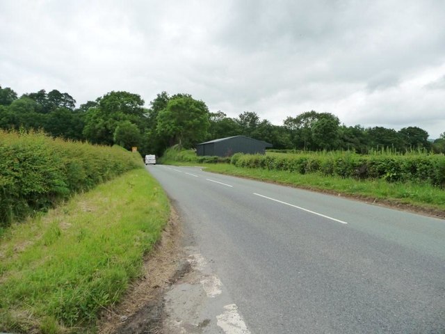
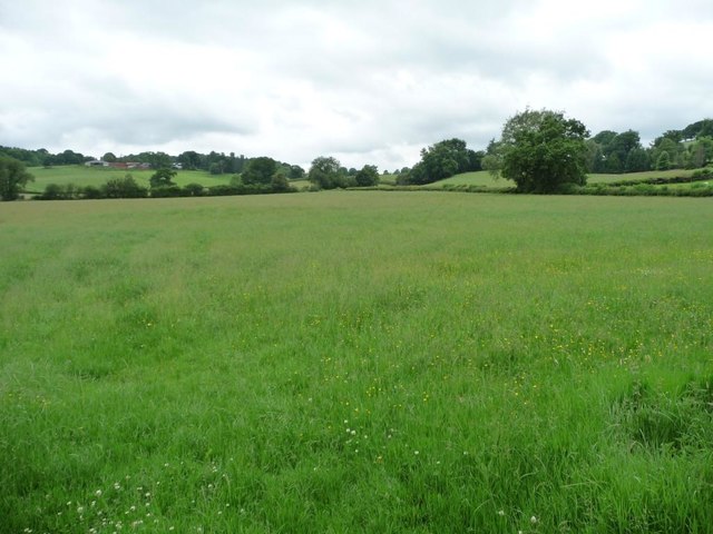
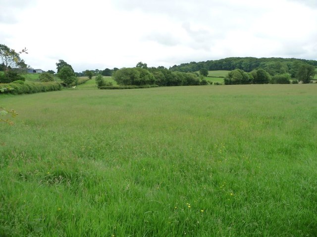
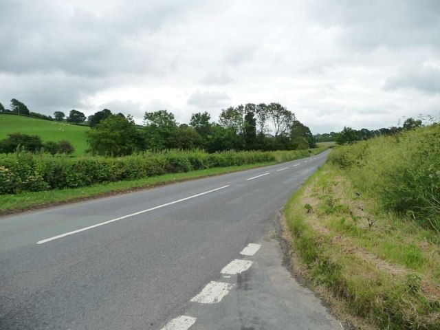
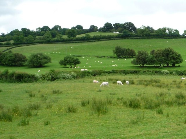
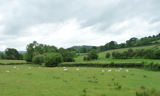
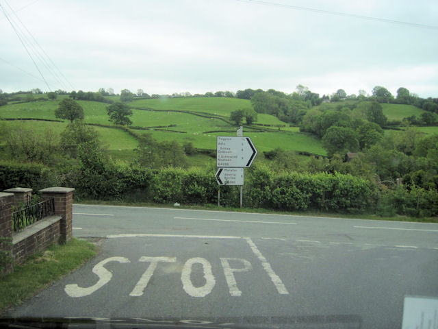
Cwm Wood is a picturesque forest located in Montgomeryshire, Wales. Spanning over 200 acres, this woodland is characterized by its diverse range of tree species including oak, beech, and birch. The forest is situated in a secluded valley, creating a peaceful and tranquil atmosphere for visitors to enjoy.

Cwm Wood is home to a variety of wildlife, making it a popular destination for nature enthusiasts and bird watchers. Visitors may catch a glimpse of red squirrels, woodpeckers, and various species of butterflies while exploring the forest trails. The wood is also known for its vibrant display of wildflowers during the spring and summer months.

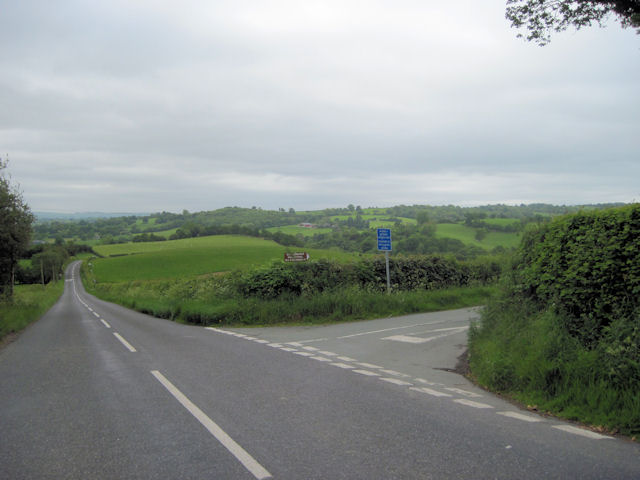
There are several walking paths and hiking trails that wind through the forest, offering visitors the opportunity to immerse themselves in the natural beauty of the surroundings. Additionally, there are picnic areas and benches scattered throughout the wood, providing the perfect spot for a leisurely lunch or a moment of relaxation.

Overall, Cwm Wood is a hidden gem in Montgomeryshire, offering a serene escape from the hustle and bustle of everyday life.

If you have any feedback on the listing, please let us know in the comments section below.

Cwm Wood Images

Images are sourced within 2km of 52.609987/-3.3233176 or Grid Reference SJ1002. Thanks to Geograph Open Source API. All images are credited.

B4389 heading north past a new unmapped building The road from Tregynon to Llanfair Caereinion, in the valley of the River Rhiw.
B4389 heading north past a new unmapped building
The road from Tregynon to Llanfair Caereinion, in the valley of the River Rhiw.
Farmland in the valley of Dolgar Brook Looking south west towards the distant farm on the hill - Ty'n y shettin.
Farmland in the valley of Dolgar Brook
Looking south west towards the distant farm on the hill - Ty'n y shettin.
Farmland on the west side of the B4389 Looking south towards the farm buildings at Birch House.
Farmland on the west side of the B4389
Looking south towards the farm buildings at Birch House.
B4389 heading south towards Birch House There is a 157 spot height at the trees, when the road crossed Dolgar Brook.
B4389 heading south towards Birch House
There is a 157 spot height at the trees, when the road crossed Dolgar Brook.
Sheep fields, south of Birch House On the east side of the B4389.
Sheep fields, south of Birch House
On the east side of the B4389.
Sheep pasture in the valley of Dolgar Brook Looking east from the B4389.
Sheep pasture in the valley of Dolgar Brook
Looking east from the B4389.
Old Milestone by the B4389, New Mills, Manafon parish Milestone by the B4389, in parish of Manafon (Powys District), New Mills, on verge, Southeast side of road.

Inscription reads:-
: TREGYNON / 1½ / {arrow->} : : NEWTOWN / 7 / {arrow->} : : LLANFAIR / 3¾ / {<-arrow} :   

Surveyed

Milestone Society National ID: MOT_NTLC09
Old Milestone by the B4389, New Mills, Manafon parish
Milestone by the B4389, in parish of Manafon (Powys District), New Mills, on verge, Southeast side of road. Inscription reads:- : TREGYNON / 1½ / {arrow->} : : NEWTOWN / 7 / {arrow->} : : LLANFAIR / 3¾ / {<-arrow} : Surveyed Milestone Society National ID: MOT_NTLC09
B4389 south from just south of Pen'y Lan entrance
Road junction for Gwernydd Hall Holiday park Off B4389
Road junction for Gwernydd Hall Holiday park
Off B4389
Road junction at New Mills B4389 joins the B4390 here. Viewed from B4389
Road junction at New Mills
B4389 joins the B4390 here. Viewed from B4389
Afon Rhiw - looking upstream from Newmills Bridge The diagonal line is the lifted edge of the sedimentary bedrock. See &lt;a title=&quot;https://www.geograph.org.uk/photo/3341528&quot; href=&quot;https://www.geograph.org.uk/photo/3341528&quot;&gt;Link&lt;/a&gt; for a closer view of the stream bed.
Afon Rhiw - looking upstream from Newmills Bridge
The diagonal line is the lifted edge of the sedimentary bedrock. See Link for a closer view of the stream bed.
Afon Rhiw - looking upstream from Newmills Bridge A closer view of the stream bed. The diagonal line is the lifted edge of the sedimentary bedrock. See also &lt;a title=&quot;https://www.geograph.org.uk/photo/3341522&quot; href=&quot;https://www.geograph.org.uk/photo/3341522&quot;&gt;Link&lt;/a&gt;.
Afon Rhiw - looking upstream from Newmills Bridge
A closer view of the stream bed. The diagonal line is the lifted edge of the sedimentary bedrock. See also Link.
Afon Rhiw - looking downstream from Newmills Bridge There was a gathering of pregnant ewes on the bank but the bright sunshine makes them difficult to see.
Afon Rhiw - looking downstream from Newmills Bridge
There was a gathering of pregnant ewes on the bank but the bright sunshine makes them difficult to see.
Afon Rhiw - looking downstream from Newmills Bridge The Rhiw flows through Berriew (Aberriw) before joining the Severn in SJ1900.
Afon Rhiw - looking downstream from Newmills Bridge
The Rhiw flows through Berriew (Aberriw) before joining the Severn in SJ1900.
Sheep by Newmills Bridge This flock of speckled face ewes had been browsing on the bank of the River Rhiw near Newmills Bridge. They were disturbed when I appeared to take photos but one had a good look at me before wandering off.
Sheep by Newmills Bridge
This flock of speckled face ewes had been browsing on the bank of the River Rhiw near Newmills Bridge. They were disturbed when I appeared to take photos but one had a good look at me before wandering off.
Sheep near Newmills Bridge This flock of speckled face ewes had been browsing on the bank of the River Rhiw near Newmills Bridge. They were disturbed when I appeared to take photos and wandered off to the opposite corner of their field.
Dol-yr-heol Wood on the left.
Sheep near Newmills Bridge
This flock of speckled face ewes had been browsing on the bank of the River Rhiw near Newmills Bridge. They were disturbed when I appeared to take photos and wandered off to the opposite corner of their field. Dol-yr-heol Wood on the left.
New bungalow on B4389 at Bryn Haul
Show me another place!

Cwm Wood is located at Grid Ref: SJ1002 (Lat: 52.609987, Lng: -3.3233176)

Unitary Authority: Powys

Police Authority: Dyfed Powys

What 3 Words

///flanks.earphones.estuaries. Near Llanfair Caereinion, Powys

Nearby Locations

Cwm Wood

Related Wikis

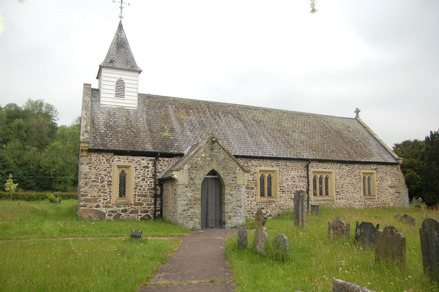
St Michael's Church, Manafon

St Michael's Church is in the small village of Manafon, Powys, Wales. It is an active Anglican church in the parish of Llanfair Caereinion, Llanllugan...

Manafon

Manafon is a small rural community located in the hills of Montgomeryshire, the Northern part of the Welsh county of Powys. The Parish focuses on the valley...
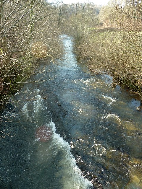
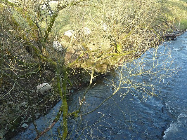
River Rhiw

The River Rhiw (Welsh: Afon Rhiw meaning 'slope river' or 'stream river') is a short river in the north of Powys in Wales. Two headwater tributaries both...

Hen Llys

Hen Llys (or Henllys Hall) is a house in Manafon, Powys, Wales. It is a Grade II listed building. In his biography of John Douglas, Edward Hubbard attributes...

Nearby Amenities

Located within 500m of 52.609987,-3.3233176
Power: pole
Lat/Long: 52.6137064/-3.3253223
Power: pole
Lat/Long: 52.6128074/-3.3256656
Power: pole
Lat/Long: 52.6119165/-3.3260545
Power: pole
Lat/Long: 52.6109328/-3.3264703
Power: pole
Lat/Long: 52.6101168/-3.3266366
Power: pole
Lat/Long: 52.6093285/-3.3268082
Power: pole
Lat/Long: 52.6084685/-3.3270228
Power: pole
Lat/Long: 52.6076248/-3.327173
Power: pole
Lat/Long: 52.6065074/-3.3274251
Power: pole
Lat/Long: 52.6058786/-3.3236754
Give Way
Direction: forward
Lat/Long: 52.6067916/-3.320103
Give Way
Direction: forward
Lat/Long: 52.6080061/-3.3192579
Give Way
Direction: backward
Lat/Long: 52.6093115/-3.3176328
The data included in this document is from www.openstreetmap.org. The data is made available under ODbL.

Have you been to Cwm Wood?

Leave your review of Cwm Wood below (or comments, questions and feedback).