Alltami

Settlement in Flintshire

Wales

Alltami

Marilyn Monroe at the OK Diner American themed restaurant by the A55.
Marilyn Monroe at the OK Diner Credit: David Bremner

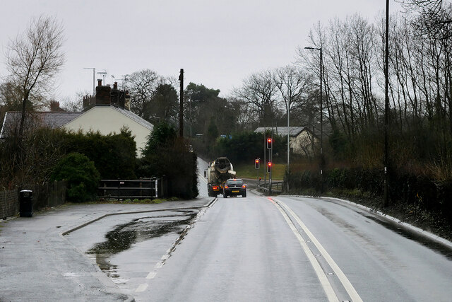
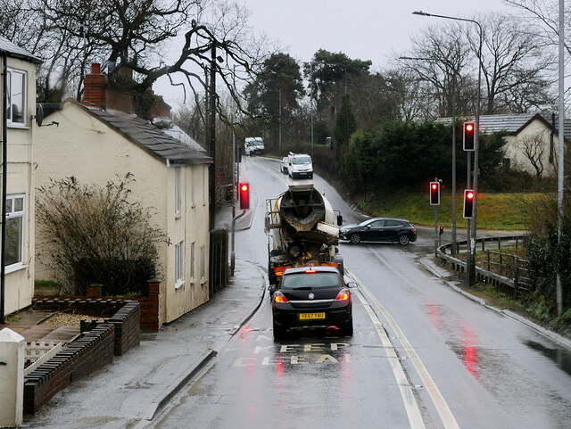
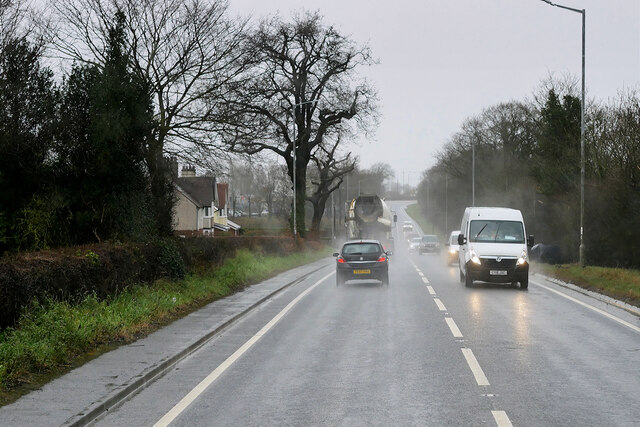
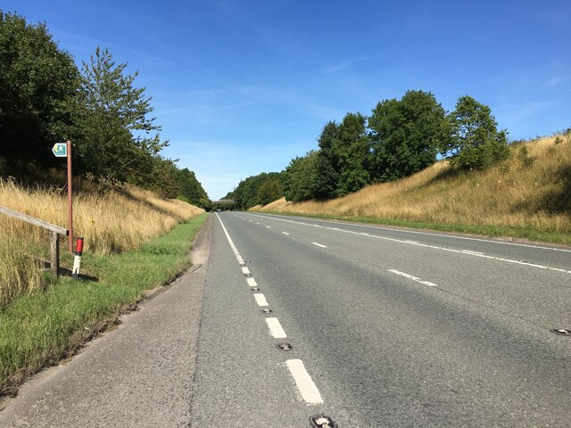
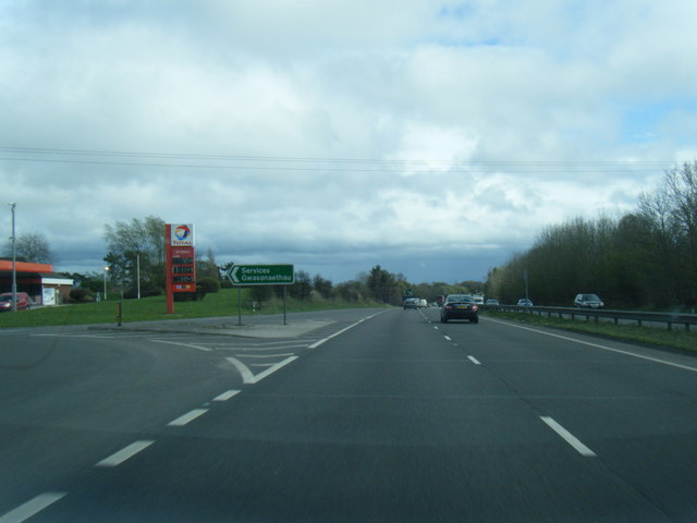
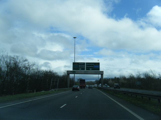
Alltami is a small village located in the county of Flintshire, in northeast Wales, United Kingdom. Situated on the A494 road, it lies approximately 6 miles west of the town of Mold and 12 miles north of the city of Chester.

The village is nestled within a picturesque countryside setting, surrounded by rolling hills and fields. It enjoys a peaceful and rural atmosphere, making it an attractive residential area for those seeking a tranquil lifestyle. The River Alyn flows nearby, adding to the village's charm and natural beauty.

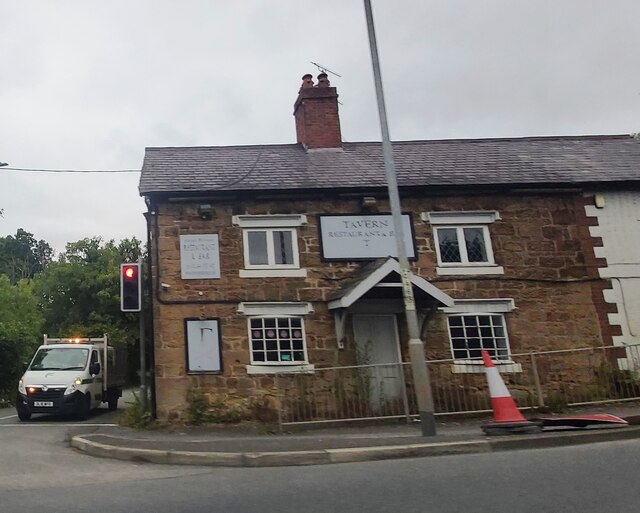
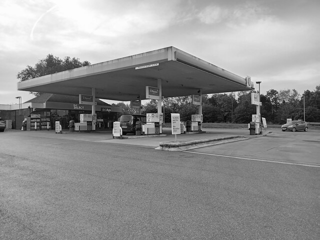
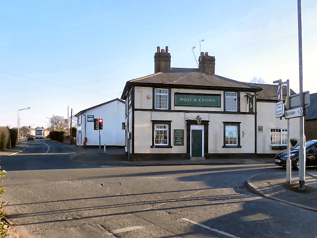
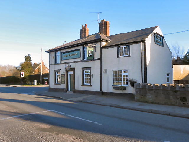
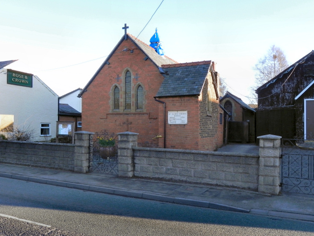
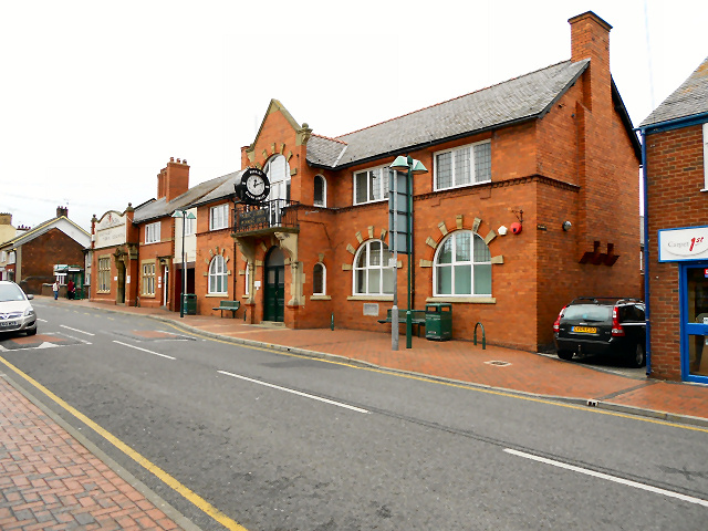
Alltami is home to a close-knit community, with a population of around 800 residents. The village boasts a range of amenities, including a primary school, a community center, a local pub, and a post office. These facilities cater to the needs of both residents and visitors.

The village is well-connected to neighboring towns and cities by road, with excellent transport links. It provides easy access to the A55 expressway, which connects to major cities such as Chester, Wrexham, and Liverpool.

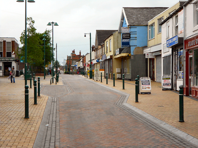
Surrounding Alltami, there are several notable attractions. The village is within close proximity to the historic market town of Mold, renowned for its medieval architecture and popular street market. Additionally, the beautiful Clwydian Range Area of Outstanding Natural Beauty is just a short drive away, offering opportunities for outdoor activities, including hiking and cycling.

Overall, Alltami is a charming village that offers a peaceful and idyllic setting, while also providing convenient access to nearby towns and scenic attractions.

If you have any feedback on the listing, please let us know in the comments section below.

Alltami Images

Images are sourced within 2km of 53.182073/-3.096378 or Grid Reference SJ2665. Thanks to Geograph Open Source API. All images are credited.

Marilyn Monroe at the OK Diner American themed restaurant by the A55.
Marilyn Monroe at the OK Diner
American themed restaurant by the A55.
A494 between New Brighton and Alltami The A494 is a primary trunk route which runs for almost 62 miles between the terminus of the M56 motorway between Mollington and Capenhurst and the A470 at Dolgellau. Its northern sections remain among the busiest roads in Wales. As well as passing through part of the Snowdonia National Park, the A494 also forms part of the North Wales coast route between the A55 and M56.
A494 between New Brighton and Alltami
The A494 is a primary trunk route which runs for almost 62 miles between the terminus of the M56 motorway between Mollington and Capenhurst and the A470 at Dolgellau. Its northern sections remain among the busiest roads in Wales. As well as passing through part of the Snowdonia National Park, the A494 also forms part of the North Wales coast route between the A55 and M56.
A494 Crossroads at Alltami The A494 is a primary trunk route which runs for almost 62 miles between the terminus of the M56 motorway between Mollington and Capenhurst and the A470 at Dolgellau. Its northern sections remain among the busiest roads in Wales. As well as passing through part of the Snowdonia National Park, the A494 also forms part of the North Wales coast route between the A55 and M56.
A494 Crossroads at Alltami
The A494 is a primary trunk route which runs for almost 62 miles between the terminus of the M56 motorway between Mollington and Capenhurst and the A470 at Dolgellau. Its northern sections remain among the busiest roads in Wales. As well as passing through part of the Snowdonia National Park, the A494 also forms part of the North Wales coast route between the A55 and M56.
Mold Road (A494) The A494 is a primary trunk route which runs for almost 62 miles between the terminus of the M56 motorway between Mollington and Capenhurst and the A470 at Dolgellau. Its northern sections remain among the busiest roads in Wales. As well as passing through part of the Snowdonia National Park, the A494 also forms part of the North Wales coast route between the A55 and M56.
Mold Road (A494)
The A494 is a primary trunk route which runs for almost 62 miles between the terminus of the M56 motorway between Mollington and Capenhurst and the A470 at Dolgellau. Its northern sections remain among the busiest roads in Wales. As well as passing through part of the Snowdonia National Park, the A494 also forms part of the North Wales coast route between the A55 and M56.
Former Tavern Restaurant at Alltami
A494 near Mold
A494 near Mold
McDonald's restaurant at Northop Services
Rivet benchmark on St Matthew's parish church tower, Buckley Ordnance Survey rivet benchmark on the south west buttress of  the tower of St Matthew's parish church, Buckley. Levelled at 160.413m above Newlyn Datum, verified 1959. For a view of the buttress see <a href="https://www.geograph.org.uk/photo/7518145">SJ2864 : Tower door of St Matthew's parish church, Buckley</a>                             
Benchmark database: <span class="nowrap"><a title="https://www.bench-marks.org.uk/bm102814" rel="nofollow ugc noopener" href="https://www.bench-marks.org.uk/bm102814">Link</a><img style="margin-left:2px;" alt="External link" title="External link - shift click to open in new window" src="https://s1.geograph.org.uk/img/external.png" width="10" height="10"/></span>
Rivet benchmark on St Matthew's parish church tower, Buckley
Ordnance Survey rivet benchmark on the south west buttress of the tower of St Matthew's parish church, Buckley. Levelled at 160.413m above Newlyn Datum, verified 1959. For a view of the buttress see SJ2864 : Tower door of St Matthew's parish church, Buckley Benchmark database: LinkExternal link
Tower door of St Matthew's parish church, Buckley There is an Ordnance Survey rivet benchmark on the angled buttress below the lamp <a href="https://www.geograph.org.uk/photo/7518130">SJ2864 : Rivet benchmark on St Matthew's parish church tower, Buckley</a>
Tower door of St Matthew's parish church, Buckley
There is an Ordnance Survey rivet benchmark on the angled buttress below the lamp SJ2864 : Rivet benchmark on St Matthew's parish church tower, Buckley
Study of a Gasoline Station Shell, Northop Hall.

 This photograph is part of a series taken in homage to the American artist Ed Ruscha's 1963 publication of 'Twentysix Gasoline Stations'.
 More properly known as filling stations in the UK, I am attempting to photograph as many as possible to mark the sixty year anniversary.
Study of a Gasoline Station
Shell, Northop Hall. This photograph is part of a series taken in homage to the American artist Ed Ruscha's 1963 publication of 'Twentysix Gasoline Stations'. More properly known as filling stations in the UK, I am attempting to photograph as many as possible to mark the sixty year anniversary.
Rose and Crown The Rose & Crown Inn, Main Road, New Brighton, Mold.
Rose and Crown
The Rose & Crown Inn, Main Road, New Brighton, Mold.
Rose and Crown, New Brighton The Rose & Crown, Main Road, New Brighton, Mold.
Rose and Crown, New Brighton
The Rose & Crown, Main Road, New Brighton, Mold.
St James' Church, New Brighton A daughter church of <a href="https://www.geograph.org.uk/photo/2321633">SJ2364 : St Mary's Parish Church, Mold</a>, the church of St James, in the village of New Brighton to the north of Mold, was opened in 1893, and is still in use.
St James' Church, New Brighton
A daughter church of SJ2364 : St Mary's Parish Church, Mold, the church of St James, in the village of New Brighton to the north of Mold, was opened in 1893, and is still in use.
A55 eastbound services exit at Northop Hall
A55 sign gantry west of Ewloe Green
Brunswick Road, Buckley
Buckley Swimming Baths and Public Library The swimming baths and library on Brunswick Road. The council offices can be seen further down the road.
Buckley Swimming Baths and Public Library
The swimming baths and library on Brunswick Road. The council offices can be seen further down the road.
Show me another place!

Alltami is located at Grid Ref: SJ2665 (Lat: 53.182073, Lng: -3.096378)

Unitary Authority: Flintshire

Police Authority: North Wales

What 3 Words

///copiers.drain.quits. Near Buckley, Flintshire

Nearby Locations

Alltami

Related Wikis

Alltami

Alltami is a small village in Flintshire, in northeast Wales northwest of Buckley and northeast of Mold. It lies on the A494 road which runs from Ellesmere...

Maes y Grug

Maes y Grug is a Site of Special Scientific Interest at Alltami in the preserved county of Clwyd, north Wales. The site was a former colliery and consists...

Buckley Claypits and Commons

Buckley Claypits and Commons is a Site of Special Scientific Interest in the preserved county of Clwyd, north Wales. It is an important reserve for the...

Buckley, Flintshire

Buckley (Welsh: Bwcle [ˈbʊklɛ]) is a town and community in Flintshire, north-east Wales, two miles (3 km) from the county town of Mold and contiguous with...

Elfed High School

Elfed High School (Welsh: Ysgol Uwchradd Elfed) is an 11–16 mixed, English-medium community secondary school in Buckley, Flintshire, Wales. == History... ==

New Brighton, Flintshire

New Brighton (sometimes Welsh: Pentre Cythraul, lit. 'devil's village') is a small village in Flintshire, in north-east Wales. It lies between the towns...

District of Alyn and Deeside

Alyn and Deeside (Welsh: Alun a Glannau Dyfrdwy) was one of six local government districts in the county of Clwyd, north-east Wales from 1974 to 1996....

St Matthew's Church, Buckley

St Matthew's Church, is in the town of Buckley, Flintshire, Wales. It is an active Anglican parish church in the Borderlands Mission Area, the archdeaconry...

Nearby Amenities

Located within 500m of 53.182073,-3.096378
Traffic Signals
Crossing: traffic_signals
Crossing Ref: pelican
Kerb: yes
Tactile Paving: no
Lat/Long: 53.1821523/-3.0983129
Alltami
Created By: Potlatch 0.10b
Place: hamlet
Wikidata: Q4733312
Lat/Long: 53.1821947/-3.0984394
Pub
Tavern
Food: yes
Wikidata: Q80855372
Lat/Long: 53.1823674/-3.0982127
Power: pole
Lat/Long: 53.1832/-3.0898377
Power: pole
Lat/Long: 53.1828351/-3.0916858
Power: pole
Lat/Long: 53.1828994/-3.0926245
Power: pole
Lat/Long: 53.1819832/-3.0930215
Power: pole
Lat/Long: 53.1808693/-3.0931342
Power: pole
Lat/Long: 53.1826535/-3.0925736
Material: steel
Power: pole
Lat/Long: 53.1824349/-3.0936357
Material: steel
Power: pole
Lat/Long: 53.1822034/-3.0948856
Material: steel
Power: pole
Lat/Long: 53.1819463/-3.0960175
Material: steel
Power: pole
Lat/Long: 53.1817309/-3.0970609
Material: steel
Power: pole
Lat/Long: 53.1815492/-3.0978736
Power: pole
Lat/Long: 53.1810075/-3.099432
Power: pole
Lat/Long: 53.1804433/-3.1007704
Power: pole
Lat/Long: 53.1799531/-3.101913
The data included in this document is from www.openstreetmap.org. The data is made available under ODbL.

Have you been to Alltami?

Leave your review of Alltami below (or comments, questions and feedback).