Alltmawr
Settlement in Brecknockshire
Wales
Alltmawr

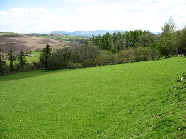
Alltmawr is a small village located in the historical county of Brecknockshire, Wales. Situated in the heart of the Brecon Beacons National Park, it is surrounded by picturesque natural beauty. The village is nestled between the River Usk and the towering peaks of the Black Mountains, offering stunning views and an ideal location for outdoor enthusiasts.
Historically, Alltmawr was known for its agricultural activities, with farming playing a significant role in the local economy. However, in recent years, the village has seen a shift towards tourism, with visitors attracted by its tranquil atmosphere and proximity to the national park.
The village itself is characterized by charming stone cottages, some dating back to the 18th century, giving it a traditional and timeless feel. Although small in size, it boasts a friendly community and a close-knit atmosphere. There is a local pub and a few small shops that cater to the needs of both residents and visitors.
Alltmawr serves as an excellent base for exploring the surrounding natural wonders. The nearby Brecon Beacons offer numerous hiking trails, with Pen y Fan, the highest peak in southern Britain, being a popular challenge for adventurous hikers. The area is also rich in wildlife, making it a haven for birdwatchers and nature lovers.
Overall, Alltmawr is a peaceful and idyllic village, offering a perfect retreat for those seeking tranquility and a connection with nature in the Brecon Beacons National Park.
If you have any feedback on the listing, please let us know in the comments section below.
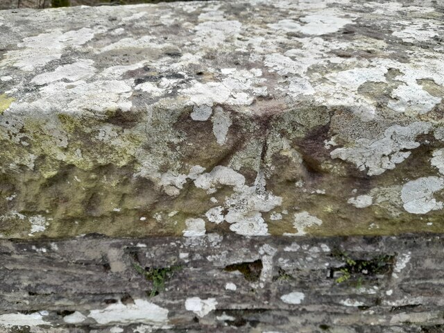
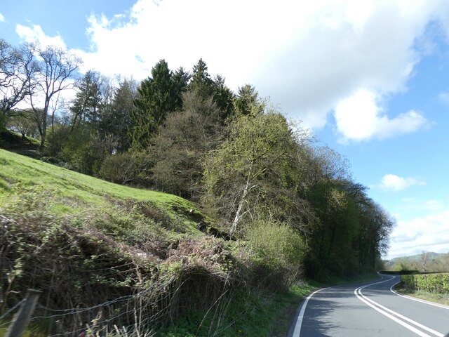
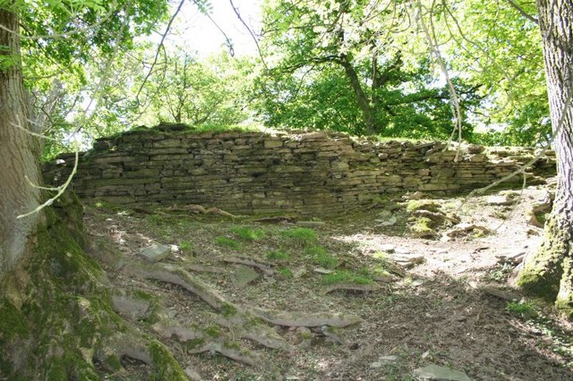
Alltmawr Images
Images are sourced within 2km of 52.112217/-3.356466 or Grid Reference SO0746. Thanks to Geograph Open Source API. All images are credited.


Alltmawr is located at Grid Ref: SO0746 (Lat: 52.112217, Lng: -3.356466)
Unitary Authority: Powys
Police Authority: Dyfed Powys
Also known as: Allt-mawr
What 3 Words
///pollution.credited.moderated. Near Builth Wells, Powys
Related Wikis

Alltmawr
Alltmawr is a village in the community of Erwood, Powys, Wales, which is 44 miles (71 km) from Cardiff and 144 miles (232 km) from London. St Mauritius...

Aberedw
Aberedw is a village and community in Radnorshire, Powys, Wales. The community covers an area of 3,055 hectares (11.80 sq mi). Its population was 229,...

Aberedw railway station
Aberedw railway station served the village of Aberedw in Powys, Wales. Aberedw Castle was demolished to build the station and some of the stone from the...
Aberedw Castle
The remains of Aberedw Castle, also known as 'Castle in Elfael Uwch Mynydd', are located at the small village of Aberedw in the county of Powys, Mid-Wales...

Brecon and Radnorshire (UK Parliament constituency)
Brecon and Radnorshire (Welsh: Brycheiniog a Sir Faesyfed) is a county constituency in Wales of the House of Commons of the Parliament of the United Kingdom...

Brecon and Radnorshire (Senedd constituency)
Brecon and Radnorshire (Welsh: Brycheiniog a Sir Faesyfed) is a constituency of the Senedd. It elects one Member of the Senedd by the first past the post...
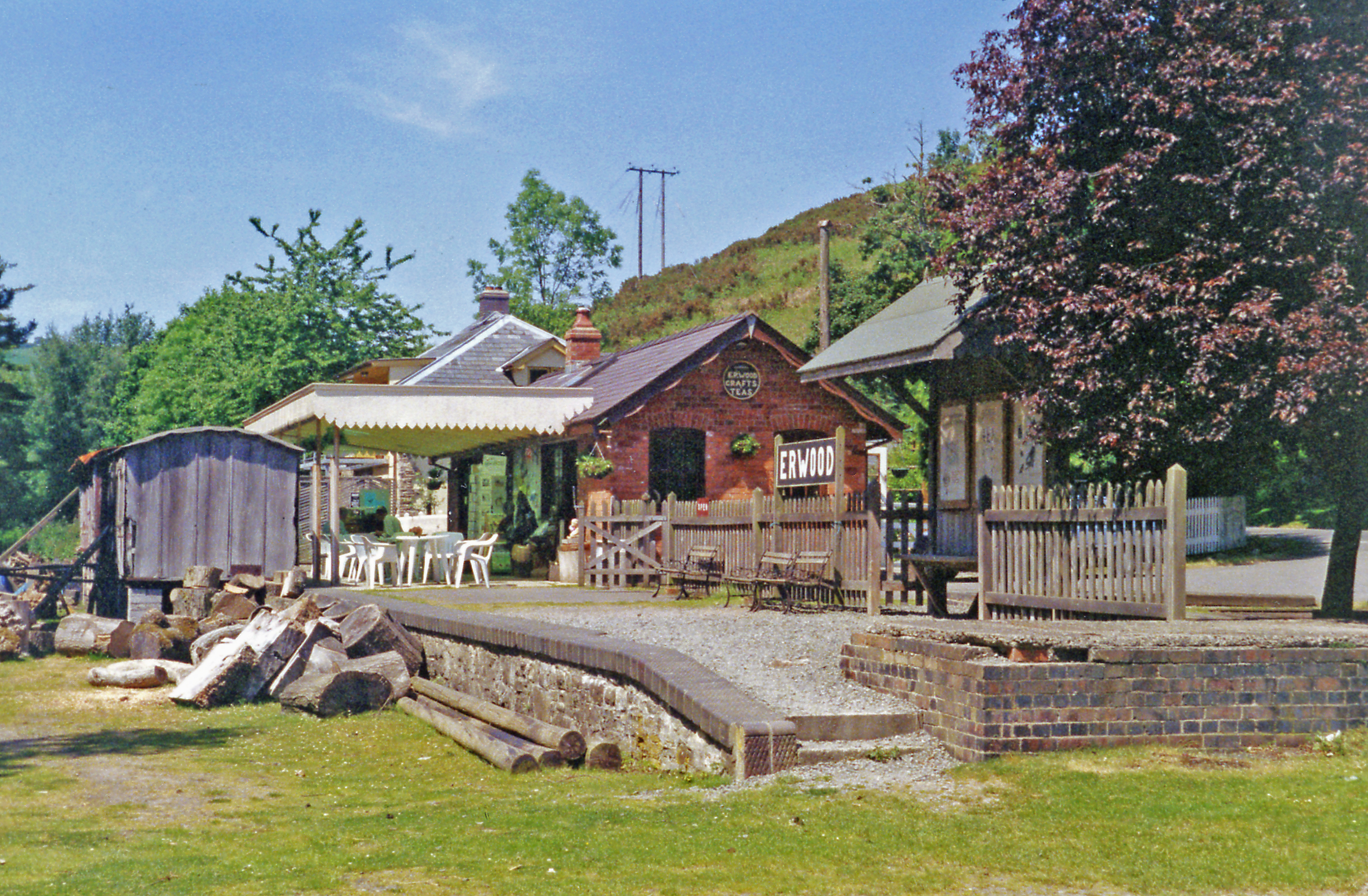
Erwood railway station
Erwood railway station is a former station on the Mid Wales Railway in Erwood, between Brecon and Llanidloes, Powys, Wales.The station building has been...

District of Radnorshire
The District of Radnorshire (Welsh: Maesyfed) was one of three local government districts of the county of Powys, Wales, from 1974 until 1996. The district...
Nearby Amenities
Located within 500m of 52.112217,-3.356466Have you been to Alltmawr?
Leave your review of Alltmawr below (or comments, questions and feedback).