Bwlch
Settlement in Merionethshire
Wales
Bwlch
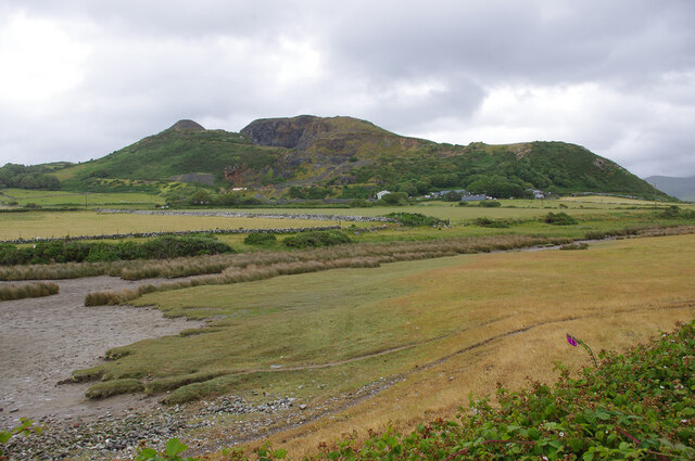
Bwlch is a small village located in the historic county of Merionethshire, Wales. Situated in the southern part of Snowdonia National Park, Bwlch is surrounded by stunning natural beauty and offers a peaceful retreat for visitors and residents alike.
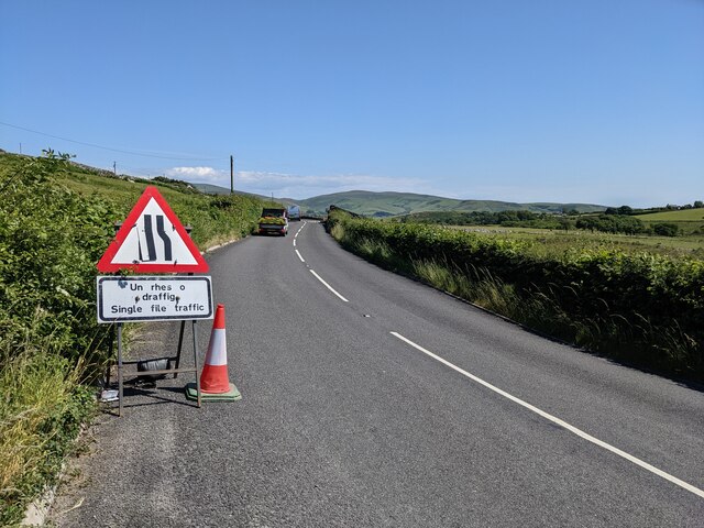
The village is nestled between the mountains of Cadair Idris and Rhinog Fawr, providing breathtaking views and ample opportunities for outdoor activities such as hiking, mountain biking, and fishing. It is also close to the popular tourist destinations of Dolgellau and Barmouth, offering easy access to a range of amenities and attractions.
Bwlch has a rich history, with evidence of human settlement dating back to the Bronze Age. The area was once known for its slate quarries, which were a significant source of employment and industry in the 19th and early 20th centuries. Today, remnants of the quarrying era can still be seen in the local landscape.
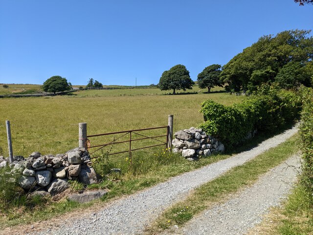
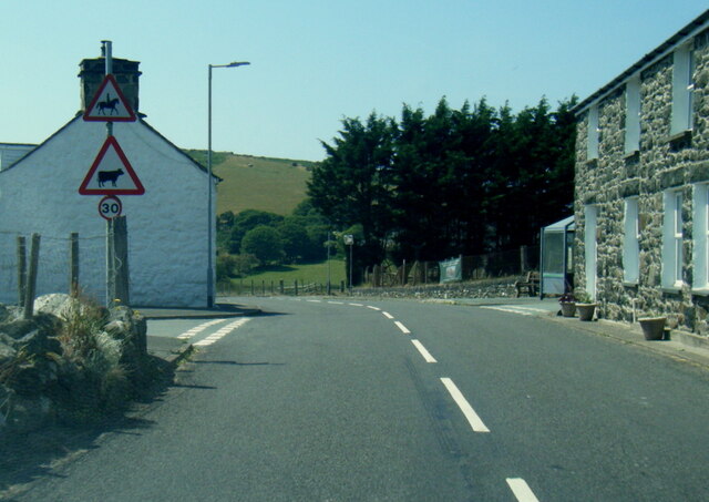
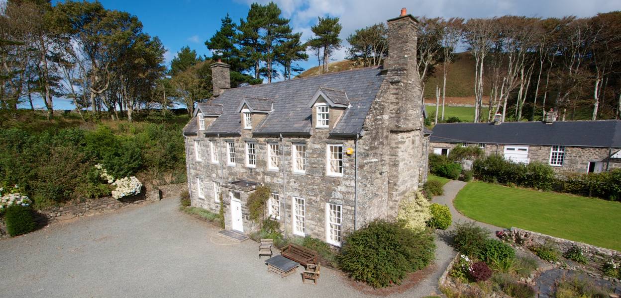
The village itself is characterized by its charming stone houses and traditional Welsh architecture. It has a close-knit community and a strong sense of Welsh culture, with the Welsh language being widely spoken.
A visit to Bwlch offers the opportunity to immerse oneself in the tranquility of the Welsh countryside, explore the nearby mountains, and experience the warmth and hospitality of the local community. Whether seeking an active outdoor adventure or a peaceful escape, Bwlch provides a picturesque setting that captures the essence of rural Wales.
If you have any feedback on the listing, please let us know in the comments section below.
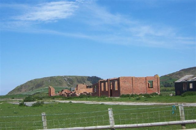
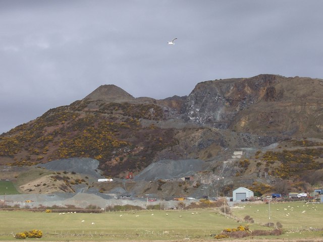
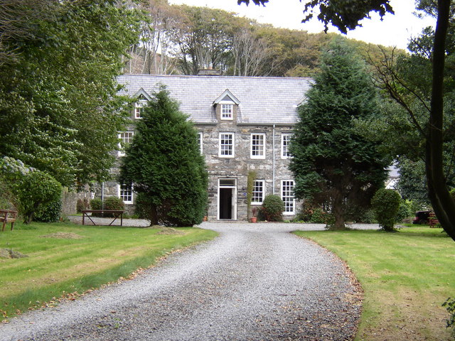
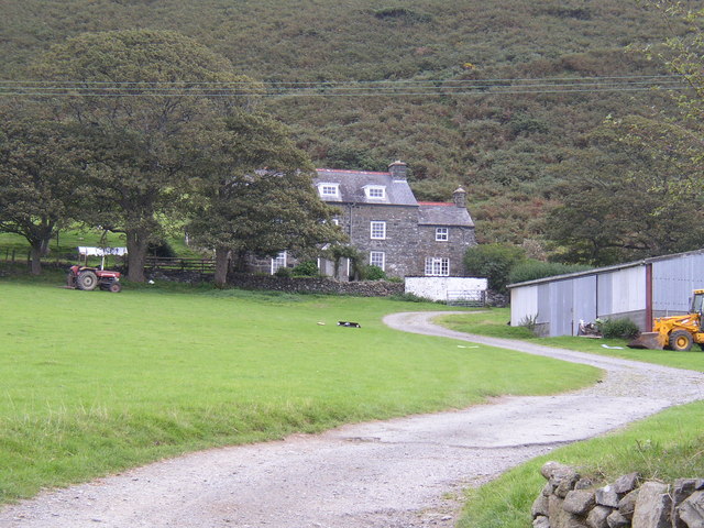
Bwlch Images
Images are sourced within 2km of 52.623874/-4.1140035 or Grid Reference SH5705. Thanks to Geograph Open Source API. All images are credited.


Bwlch is located at Grid Ref: SH5705 (Lat: 52.623874, Lng: -4.1140035)
Unitary Authority: Gwynedd
Police Authority: North Wales
What 3 Words
///tenders.speaker.shippers. Near Tywyn, Gwynedd
Nearby Locations
Related Wikis
Llanfendigaid Estate
Llanfendigaid Estate, located on the Cardigan Bay coast of southern Gwynedd (formerly Merioneth: Welsh: Meirionnydd, Sir Feirionydd), near Tywyn in north...

Tonfanau railway station
Tonfanau railway station is a railway stop that serves Tonfanau in Gwynedd, Wales. The station is located alongside the ruins of the army base it once...

Tonfanau
Tonfanau is a coastal village in the community of Llangelynnin, in Gwynedd (formerly Merionethshire), Wales. It is 2.4 miles (3.9 km) north of Tywyn. The...

River Dysynni
The River Dysynni (Welsh: Afon Dysynni) is a river in mid Wales. Its source is the Tal-y-llyn Lake (Welsh: Llyn Mwyngil) just south of the Cadair Idris...

Llangelynnin, Gwynedd
Llangelynnin (; also Llangelynin) is a small village and community near Tywyn, Gwynedd, Wales. Although the village is usually known as Llangelynnin in...

Llangelynin railway station
Llangelynin station was a single-platform halt on the Cambrian Line, which served the small village of Llangelynin in Gwynedd, Wales. It was opened in...
Sarn y Bwch
Sarn y Bwch, (Welsh for 'buck's causeway'), is one of three parallel reefs extending beneath the sea into Cardigan Bay from the west coast of Wales. The...

A493 road
The A493 is a road located on the west coast of mid Wales and connects Dolgellau to Machynlleth via the coast, avoiding Corris and Cross Foxes. == Route... ==
Nearby Amenities
Located within 500m of 52.623874,-4.1140035Have you been to Bwlch?
Leave your review of Bwlch below (or comments, questions and feedback).