Buxworth
Settlement in Derbyshire High Peak
England
Buxworth
Buxworth is a small village located in the High Peak district of Derbyshire, England. Situated on the edge of the Peak District National Park, the village is nestled in a picturesque area known for its natural beauty and stunning countryside.
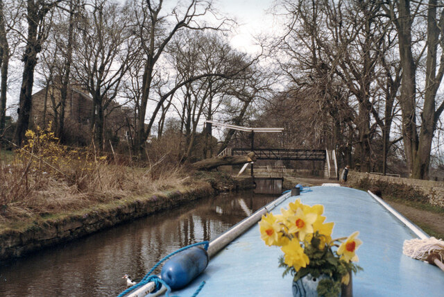
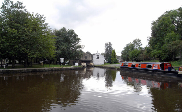
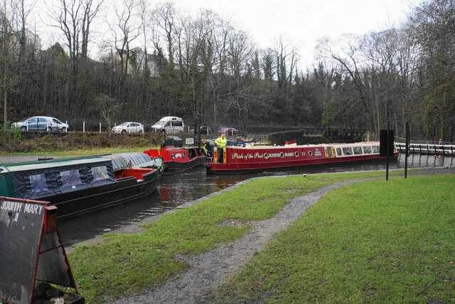
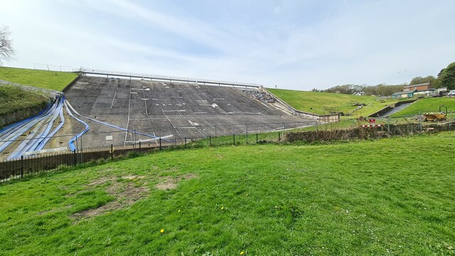
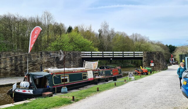
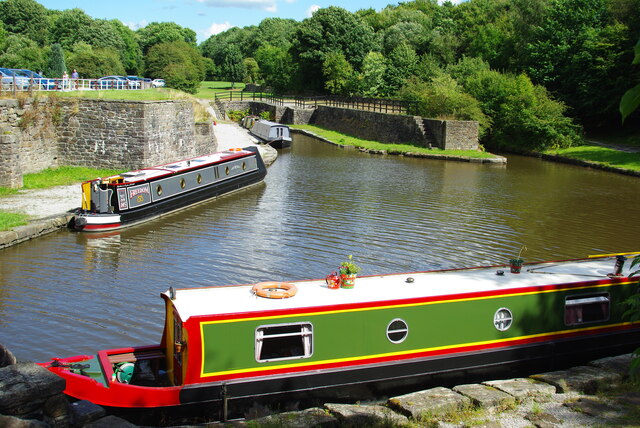
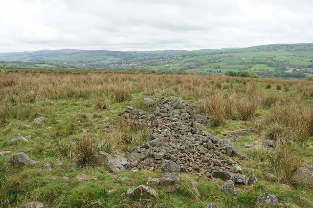
Originally an industrial village, Buxworth was once a thriving center for the limestone quarrying and canal industries in the 18th and 19th centuries. The village was a crucial part of the transportation network, with the Peak Forest Canal passing through its heart. Today, remnants of this industrial past can still be seen in the form of historic canal warehouses and old lime kilns, which add character to the village.
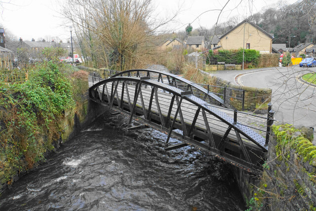
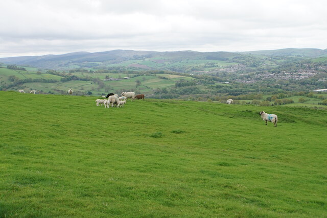
Despite its industrial heritage, Buxworth has evolved into a peaceful and idyllic place. The village is surrounded by rolling hills and wooded areas, making it a popular destination for nature enthusiasts and hikers. The nearby Combs Reservoir also offers opportunities for fishing and boating.
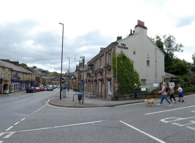
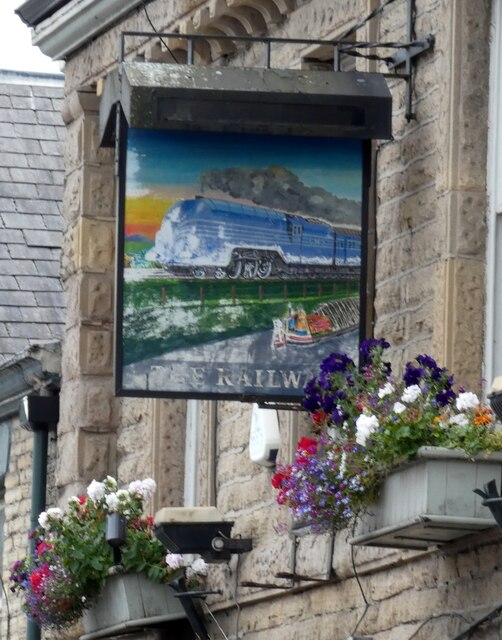
Buxworth is a close-knit community with a strong sense of community spirit. It has a primary school, a local pub, and a village hall that hosts various social events throughout the year. The village is also home to a charming church, St. James' Church, which dates back to the 19th century.
Overall, Buxworth is a charming village that combines its industrial heritage with its natural beauty, creating a unique and appealing destination for both locals and visitors who seek a peaceful retreat in the heart of the Derbyshire countryside.
If you have any feedback on the listing, please let us know in the comments section below.
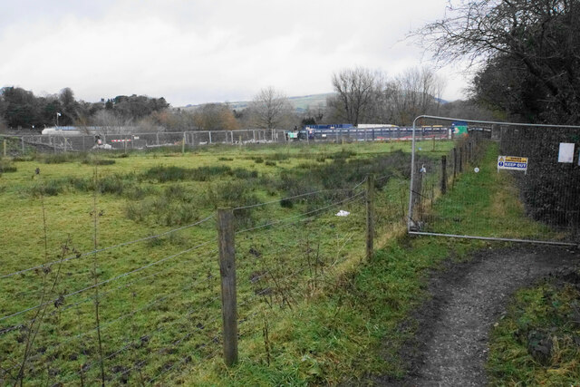
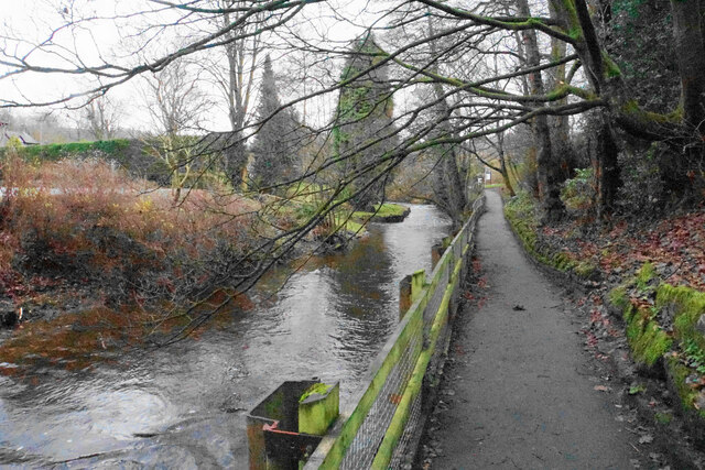
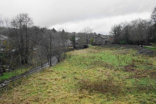
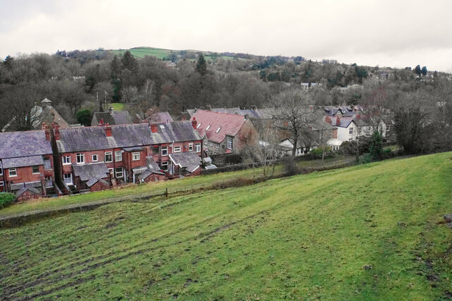
Buxworth Images
Images are sourced within 2km of 53.336195/-1.966703 or Grid Reference SK0282. Thanks to Geograph Open Source API. All images are credited.
Buxworth is located at Grid Ref: SK0282 (Lat: 53.336195, Lng: -1.966703)
Administrative County: Derbyshire
District: High Peak
Police Authority: Derbyshire
What 3 Words
///bland.desktops.print. Near Whaley Bridge, Derbyshire
Nearby Locations
Related Wikis

Peak Forest Tramway
The Peak Forest Tramway was an early horse- and gravity-powered industrial railway (or tramway) system in Derbyshire, England. Opened for trade on 31 August...

Bugsworth Basin
Bugsworth Basin is a canal basin at the terminus of the Peak Forest Canal at Buxworth (formerly Bugsworth) in the valley of the Black Brook, close to Whaley...

Buxworth
Buxworth is a village in the High Peak of Derbyshire, England. The area, which was once an important centre for the limestone industry, became the terminus...

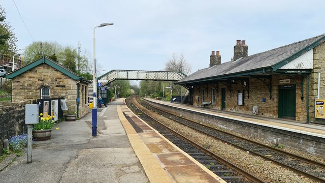
Buxworth railway station
Buxworth railway station was an intermediate stop on the Derby–Manchester line of the Midland Railway. It was open between 1867 and 1958. == History... ==

Whaley Bridge
Whaley Bridge () is a town and civil parish in the High Peak district of Derbyshire, England. It is situated on the River Goyt, 16 miles (26 km) south...

Whaley Bridge railway station
Whaley Bridge railway station serves the Peak District town of Whaley Bridge in Derbyshire, England. The station is on the Manchester-Buxton Line 16+1...

Eccles Pike
Eccles Pike is an isolated hill three miles west of Chapel en le Frith in the Derbyshire Peak District, England. It consists of gritstone, pink in colour...

Buxton Road Bridge
Buxton Road Bridge is a railway bridge over the A5004 road in Whaley Bridge, in the High Peak district, in the county of Derbyshire, England. It carries...
Nearby Amenities
Located within 500m of 53.336195,-1.966703Have you been to Buxworth?
Leave your review of Buxworth below (or comments, questions and feedback).