Coed Cwm

Wood, Forest in Flintshire

Wales

Coed Cwm

Approaching the summit of Moel Hiraddug near Dyserth This path leads all the way to the summit from the south.
Approaching the summit of Moel Hiraddug near Dyserth Credit: Colin Park

Coed Cwm is a picturesque woodland located in Flintshire, Wales. Situated in the northern part of the county, it covers an area of approximately 100 hectares. The name "Coed Cwm" translates to "Wood, Forest" in English, accurately describing the natural surroundings of this enchanting location.

The woodland is known for its diverse range of tree species, including oak, beech, and birch. The dense canopy provides a haven for various wildlife, making it a popular spot for nature enthusiasts and birdwatchers. The forest floor is adorned with a carpet of bluebells during the springtime, creating a stunning display of color.

Coed Cwm is intersected by a network of walking trails, offering visitors the opportunity to explore its beauty firsthand. These trails cater to all levels of fitness, from leisurely strolls to more challenging hikes. Along the paths, informative signs provide details about the flora and fauna, enriching the experience for nature lovers.

The woodland is also home to a diverse range of wildlife, including deer, badgers, and numerous bird species. It serves as an important habitat for many rare and protected species, contributing to the conservation efforts in the area.

Coed Cwm is managed by a local conservation organization, ensuring its preservation for future generations to enjoy. The tranquil atmosphere and untouched beauty of this woodland make it a peaceful retreat, offering a welcome escape from the hustle and bustle of everyday life.

If you have any feedback on the listing, please let us know in the comments section below.
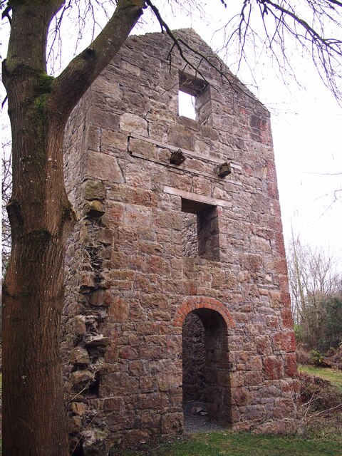
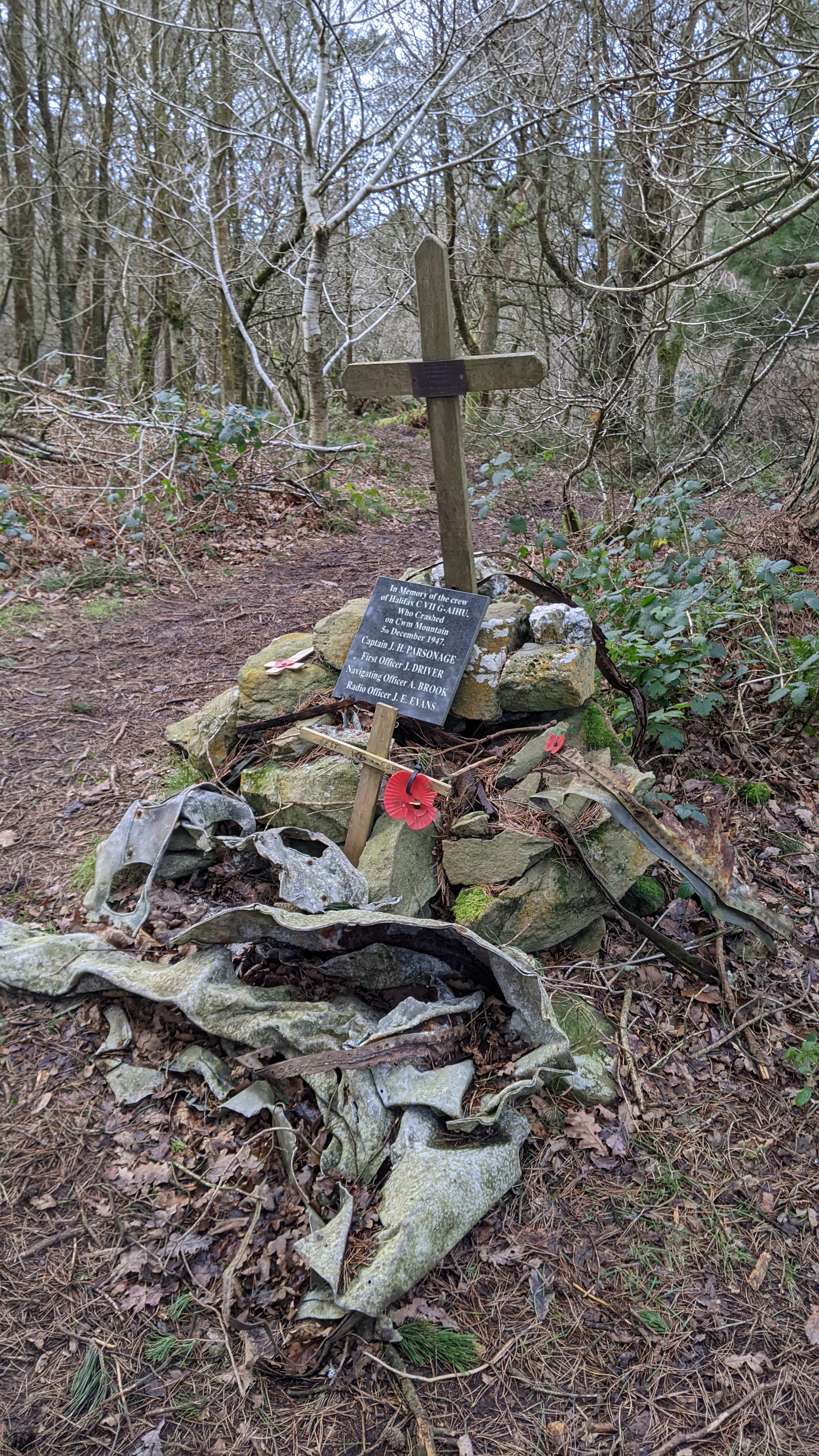
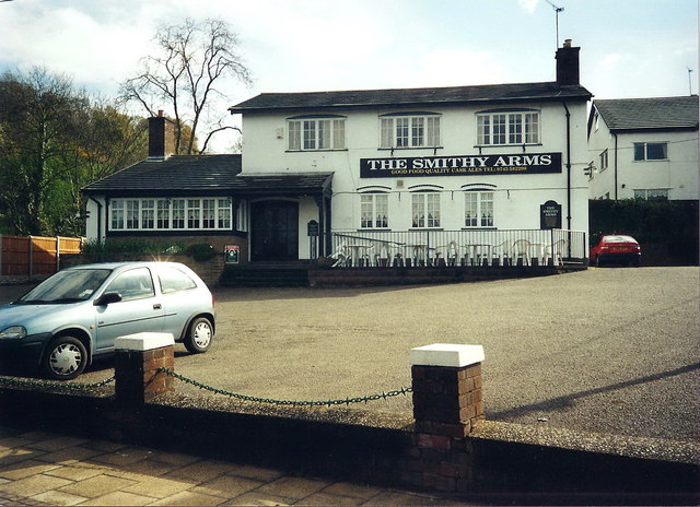
Coed Cwm Images

Images are sourced within 2km of 53.276161/-3.3946954 or Grid Reference SJ0776. Thanks to Geograph Open Source API. All images are credited.

Approaching the summit of Moel Hiraddug near Dyserth This path leads all the way to the summit from the south.
Approaching the summit of Moel Hiraddug near Dyserth
This path leads all the way to the summit from the south.
On the summit of  Moel Hiraddug with view towards Mynydd y Cwm
On the summit of Moel Hiraddug with view towards Mynydd y Cwm
Vale of Clwyd from Moel Hiraddug
The village church at Cwm near Dyserth
Plas yn Cwm near Rhuallt
On the Offa's Dyke Path north of Tyddyn-y-cyll with view to Gop Hill
Westbound A55 near Rhuallt The A55, also known as the North Wales Expressway (Gwibffordd Gogledd Cymru), is the major road in North Wales running for 88 miles between Chester and Holyhead via Conwy and Bangor. 

The A55 is a very high quality road, much of it rebuilt since the 1970s in response to traffic problems in Colwyn Bay, Colwyn and Llandudno caused by traffic having to pass through town centres on totally unsuitable streets, (especially in Conwy where lorries often scraped their paintwork as they passed through 12th century arches in the town's walls), leading to the construction of an east-west expressway bypassing the urban centres. It is a dual carriageway primary route for its entire length with the exception of the point where it crosses the Britannia Bridge over the Menai Strait. All of its junctions are grade separated except for two roundabouts; one east of Penmaenmawr and one in Llanfairfechan. The road originally ran from Chester to Bangor but was extended parallel to the A5 across Anglesey right into Holyhead Docks in 2001.

<span class="nowrap"><a title="http://www.sabre-roads.org.uk/wiki/index.php?title=A55" rel="nofollow ugc noopener" href="http://www.sabre-roads.org.uk/wiki/index.php?title=A55">Link</a><img style="margin-left:2px;" alt="External link" title="External link - shift click to open in new window" src="https://s1.geograph.org.uk/img/external.png" width="10" height="10"/></span>  SABRE
Westbound A55 near Rhuallt
The A55, also known as the North Wales Expressway (Gwibffordd Gogledd Cymru), is the major road in North Wales running for 88 miles between Chester and Holyhead via Conwy and Bangor. The A55 is a very high quality road, much of it rebuilt since the 1970s in response to traffic problems in Colwyn Bay, Colwyn and Llandudno caused by traffic having to pass through town centres on totally unsuitable streets, (especially in Conwy where lorries often scraped their paintwork as they passed through 12th century arches in the town's walls), leading to the construction of an east-west expressway bypassing the urban centres. It is a dual carriageway primary route for its entire length with the exception of the point where it crosses the Britannia Bridge over the Menai Strait. All of its junctions are grade separated except for two roundabouts; one east of Penmaenmawr and one in Llanfairfechan. The road originally ran from Chester to Bangor but was extended parallel to the A5 across Anglesey right into Holyhead Docks in 2001. LinkExternal link SABRE
Engine House, Pennant Mine
Cwm Looking into the village from the crossroads.
Cwm
Looking into the village from the crossroads.
Vale of Clwyd Looking across the broad flat valley of the River Clwyd in hazy sunshine.
Vale of Clwyd
Looking across the broad flat valley of the River Clwyd in hazy sunshine.
A55 eastbound near Rhuallt
Cae indrawn / A maize field
Giat cae / A field gate The hill in the background is Moel Hiraddug.
Giat cae / A field gate
The hill in the background is Moel Hiraddug.
Blwch Post Sioraidd / A Georgian Postbox
Clytwaith o gaeau Dyffryn Clwyd / A patchwork of fields in the Vale of Clwyd
Tan-y-Bryn
Tan-y-Bryn
Ty Ucha
Ty Ucha
Tombstone of Grace Williams (d. 1642) An elaborate hooded tomb.
Tombstone of Grace Williams (d. 1642)
An elaborate hooded tomb.
Show me another place!

Coed Cwm is located at Grid Ref: SJ0776 (Lat: 53.276161, Lng: -3.3946954)

Unitary Authority: Denbighshire

Police Authority: North Wales

What 3 Words

///burden.upon.ranch. Near Cwm, Denbighshire

Related Wikis

Mynydd y Cwm

Mynydd y Cwm is a hill in the Clwydian Range in Denbighshire, North Wales. It reaches a height of 304.8 metres (1,000 feet). It has recently been promoted...
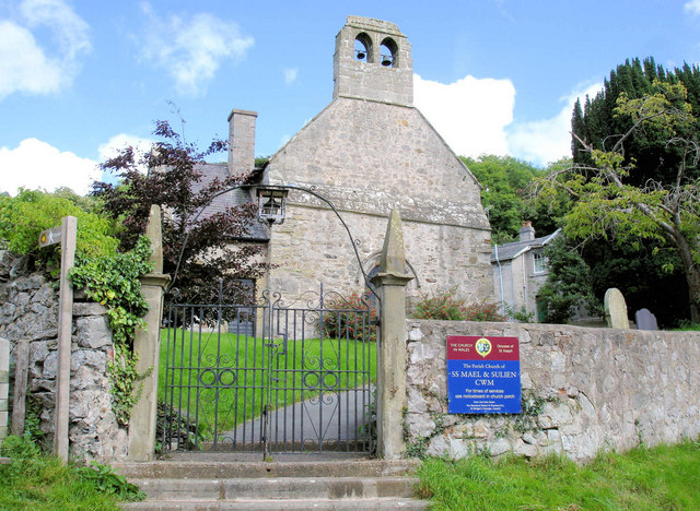
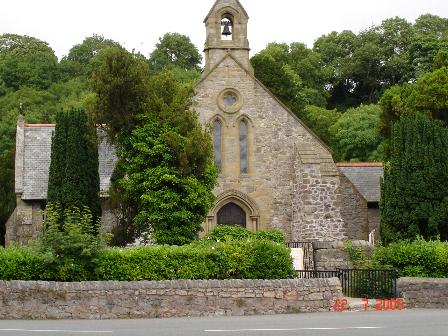
Cwm, Denbighshire

Cwm is a village and community in Denbighshire, below the hill Mynydd y Cwm. The church in Cwm is dedicated to two 6th-century saints, St Mael and St Sulien...

Rhuallt

Rhuallt is a village in Denbighshire, Wales. The village is situated approximately 5 mi (8.0 km) south of Prestatyn and 2 mi (3.2 km) east of St Asaph...

Moel Hiraddug

Moel Hiraddug, also known as Y Foel, is a hill fort and hill in the Clwydian Range of north-east Wales. The northern part of the hill has been eaten away...

Vale of Clwyd (UK Parliament constituency)

The Vale of Clwyd (Welsh: Dyffryn Clwyd) is a constituency of the House of Commons of the UK Parliament created in 1997 and represented since 2019 by James...

St Beuno's Jesuit Spirituality Centre

St Beuno's Jesuit Spirituality Centre, known locally as St Beuno's College, is a spirituality and retreat centre in Tremeirchion, Denbighshire, Wales....

Dyserth

Dyserth (Welsh: Diserth) is a village, community and electoral ward in Denbighshire, Wales. Its population at the 2011 United Kingdom census was 2,269...

Waen

Waen is a sparsely populated community in the Vale of Clwyd, in the Welsh county of Denbighshire. It includes the hamlet of Waen Goleugoed. The former...

Nearby Amenities

Located within 500m of 53.276161,-3.3946954
Mynydd Y Cwm
Ele: 302
Natural: peak
Wikidata: Q13130331
Lat/Long: 53.2795238/-3.3918941
Parking
Lat/Long: 53.2775345/-3.4008042
Power: pole
Lat/Long: 53.2723944/-3.3953015
Power: pole
Lat/Long: 53.2729265/-3.3959124
Power: pole
Lat/Long: 53.2718463/-3.3946803
Power: pole
Lat/Long: 53.2737473/-3.3966704
Power: pole
Lat/Long: 53.2744583/-3.3973474
Direction: SW
Generator Method: photovoltaic
Generator Output Electricity: yes
Generator Solar Modules: 5
Generator Source: solar
Generator Type: solar_photovoltaic_panel
Location: roof
Power: generator
Lat/Long: 53.2718216/-3.3950108
The data included in this document is from www.openstreetmap.org. The data is made available under ODbL.

Have you been to Coed Cwm?

Leave your review of Coed Cwm below (or comments, questions and feedback).