Coed Holmach
Wood, Forest in Flintshire
Wales
Coed Holmach
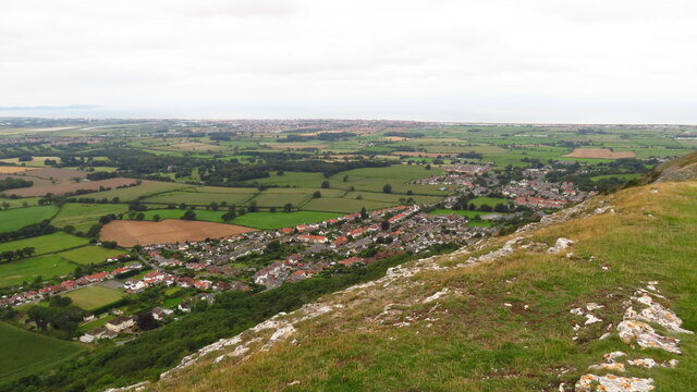
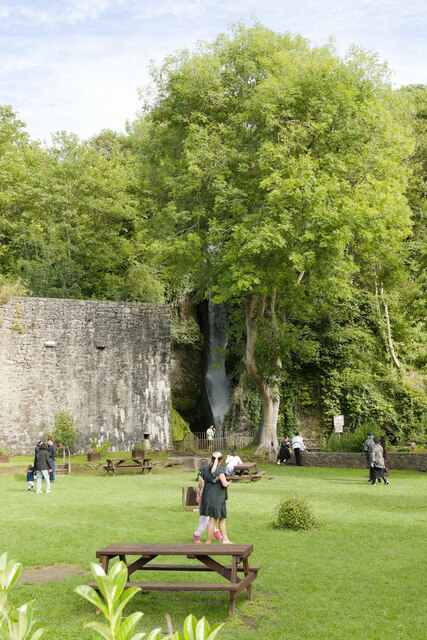
Coed Holmach, located in Flintshire, Wales, is a picturesque wood and forest that offers a tranquil escape for nature enthusiasts and hikers alike. Spanning approximately 200 acres, this woodland area is nestled within the scenic countryside, providing visitors with a diverse range of natural features to explore.
The forest is characterized by its dense canopies of trees, predominantly consisting of oak, beech, and birch, which create a soothing ambiance and provide a habitat for various wildlife species. Coed Holmach boasts a rich biodiversity, with an array of flora and fauna thriving within its boundaries. Visitors may encounter native birds, such as woodpeckers and owls, as well as small mammals like foxes, badgers, and squirrels during their ventures.
The woodland offers numerous well-marked trails that cater to different levels of fitness and interest. These paths wind through the forest, meandering alongside babbling brooks, enchanting ponds, and open meadows, providing a captivating experience for those seeking peace and solitude or a chance to reconnect with nature.
Coed Holmach is a popular destination for outdoor activities, including walking, jogging, and cycling. The forest is also a haven for birdwatching enthusiasts and photographers, who can capture the beauty of the surroundings. Additionally, the wood has designated picnic areas where visitors can enjoy a leisurely lunch amidst the serene atmosphere.
Overall, Coed Holmach in Flintshire offers a captivating natural setting, inviting visitors to immerse themselves in the beauty of the woodlands and enjoy the tranquility it provides.
If you have any feedback on the listing, please let us know in the comments section below.
Coed Holmach Images
Images are sourced within 2km of 53.300659/-3.4249808 or Grid Reference SJ0579. Thanks to Geograph Open Source API. All images are credited.


Coed Holmach is located at Grid Ref: SJ0579 (Lat: 53.300659, Lng: -3.4249808)
Unitary Authority: Denbighshire
Police Authority: North Wales
What 3 Words
///took.exits.watched. Near Dyserth, Denbighshire
Nearby Locations
Related Wikis
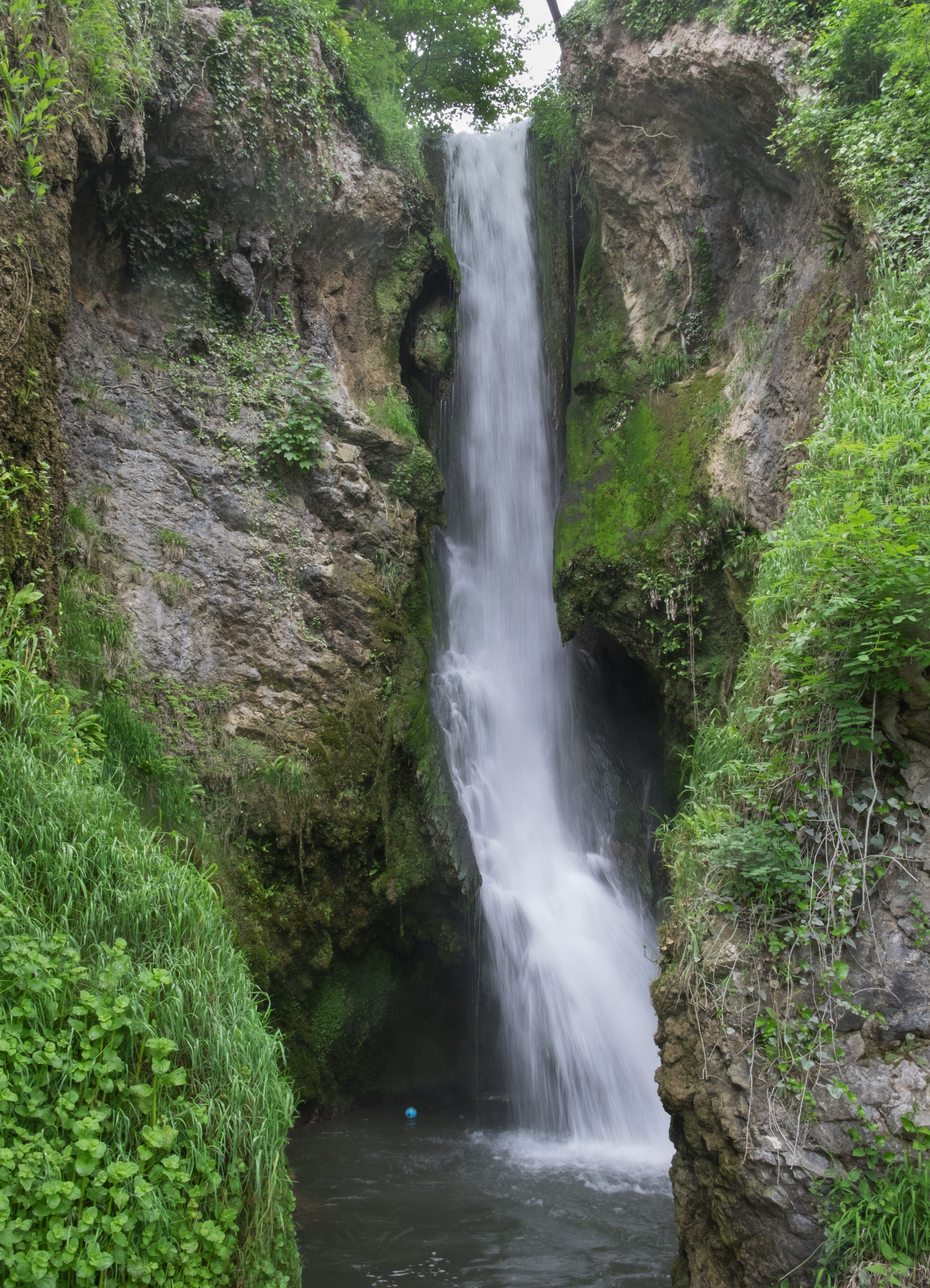
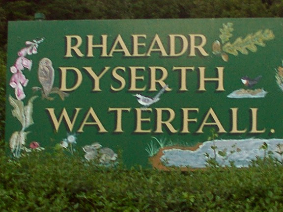
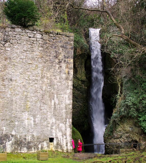
Dyserth Waterfall
Dyserth Waterfall is a waterfall in Dyserth, North Wales. The River Ffyddion, a tributary of the River Clwyd, falls down a 70-foot ledge creating the waterfall...
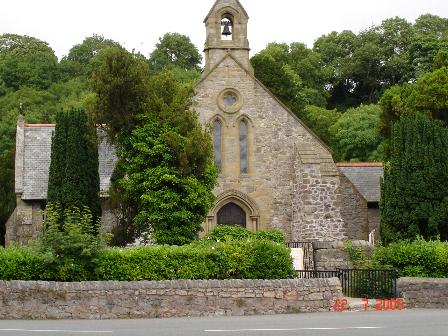
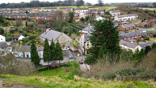
Dyserth
Dyserth (Welsh: Diserth) is a village, community and electoral ward in Denbighshire, Wales. Its population at the 2011 United Kingdom census was 2,269...

Bodrhyddan Hall
Bodrhyddan Hall is a country house in Rhuddlan, Denbighshire, Wales. It is a Grade I listed building.The present building is a 1690s remodelling of an...
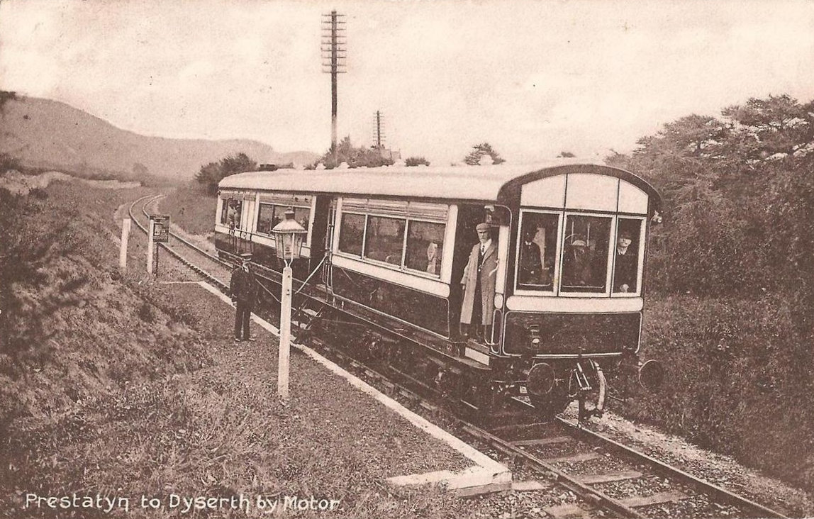
Dyserth railway station
Dyserth railway station served the village of Dyserth, Flintshire (now Denbighshire), Wales. It was the southern terminus of the 2 miles 70 chains (4.6...

Maes Hiraddug
Maes Hiraddug is a Site of Special Scientific Interest in the preserved county of Clwyd, north Wales. It is species-rich neutral grassland which includes...
Alt-y-Graig railway station
Alt-y-Craig railway station (later renamed Allt-y-Graig) was an unstaffed halt on the Dyserth branch line. Like Woodland Park further down the line, passengers...

Graig Fawr
Graig Fawr is a Site of Special Scientific Interest in the preserved county of Clwyd, north Wales, now in Denbighshire. It is 153 metres (502 feet) high...

Moel Hiraddug
Moel Hiraddug, also known as Y Foel, is a hill fort and hill in the Clwydian Range of north-east Wales. The northern part of the hill has been eaten away...
Nearby Amenities
Located within 500m of 53.300659,-3.4249808Have you been to Coed Holmach?
Leave your review of Coed Holmach below (or comments, questions and feedback).