Diserth
Settlement in Flintshire
Wales
Diserth
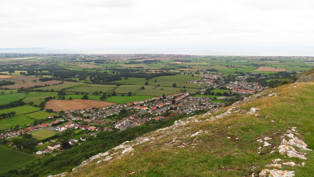
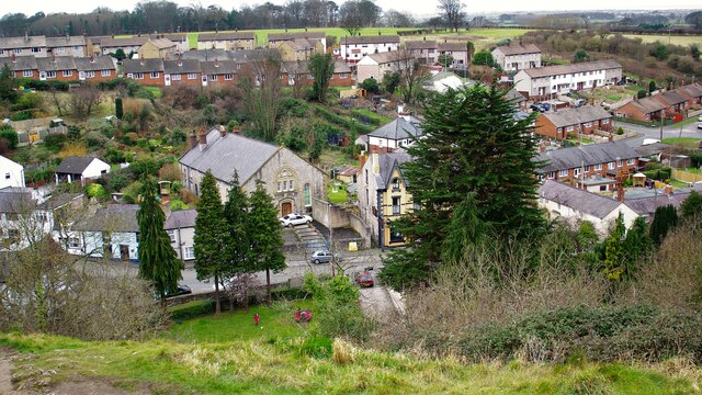
Diserth is a rural village located in the county of Flintshire, Wales. Situated approximately 5 miles southwest of the market town of Ruthin, it is nestled in the beautiful Clwydian Range Area of Outstanding Natural Beauty. With a population of around 300 residents, Diserth is known for its tranquil and picturesque surroundings.
The village is blessed with stunning landscapes, boasting rolling hills, lush green fields, and breathtaking views of the surrounding countryside. It offers a peaceful retreat for those seeking an escape from the hustle and bustle of city life.
Diserth is primarily an agricultural community, with farming being the main source of income for many residents. The village is filled with charming cottages and farmhouses, which add to its rustic and idyllic charm.
Although small in size, Diserth has a strong sense of community. The village has a local pub, which serves as a social hub for residents and visitors alike, providing a friendly and welcoming atmosphere.
Despite its rural location, Diserth is within easy reach of amenities and attractions. The nearby town of Ruthin offers a range of shops, restaurants, and leisure facilities, as well as historical landmarks such as Ruthin Castle. Outdoor enthusiasts can explore the Clwydian Range, which provides opportunities for walking, hiking, and cycling.
In conclusion, Diserth is a quaint and picturesque village in Flintshire, Wales, known for its stunning scenery, agricultural heritage, and close-knit community. It offers a peaceful and rural lifestyle, while still providing access to nearby amenities and attractions.
If you have any feedback on the listing, please let us know in the comments section below.
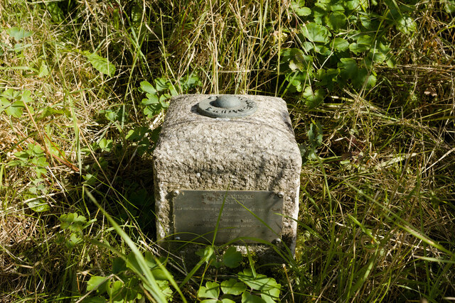
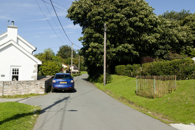
Diserth Images
Images are sourced within 2km of 53.300424/-3.412944 or Grid Reference SJ0579. Thanks to Geograph Open Source API. All images are credited.


Diserth is located at Grid Ref: SJ0579 (Lat: 53.300424, Lng: -3.412944)
Unitary Authority: Denbighshire
Police Authority: North Wales
Also known as: Dyserth
What 3 Words
///vans.kick.sector. Near Dyserth, Denbighshire
Nearby Locations
Related Wikis
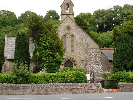
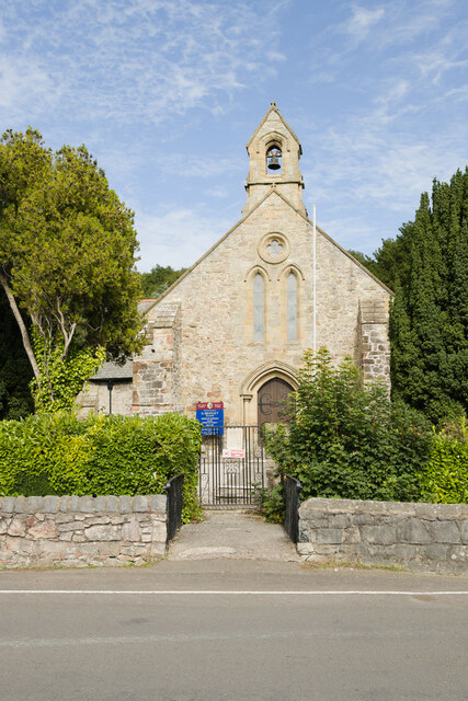
Dyserth
Dyserth (Welsh: Diserth) is a village, community and electoral ward in Denbighshire, Wales. Its population at the 2011 United Kingdom census was 2,269...
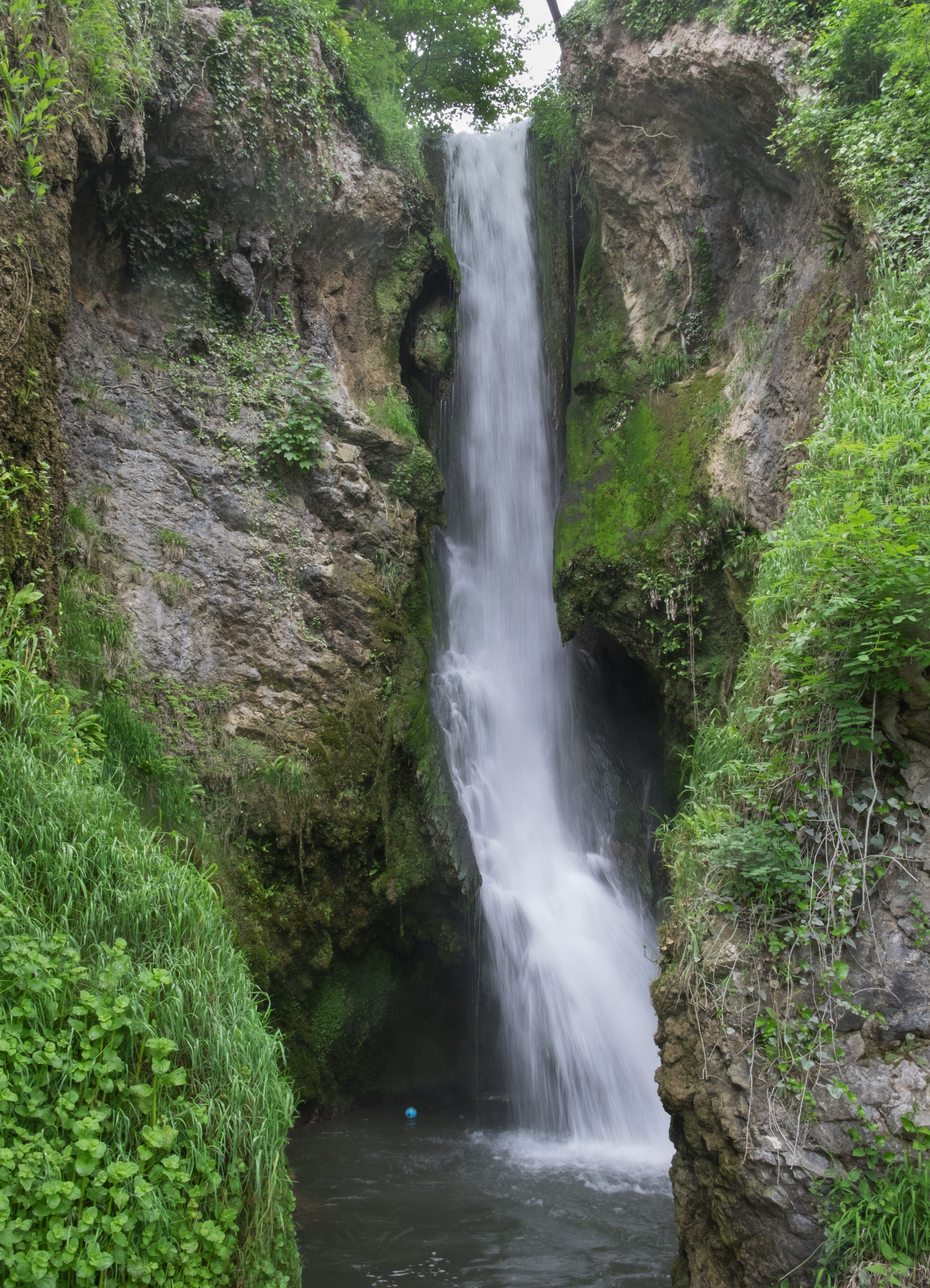
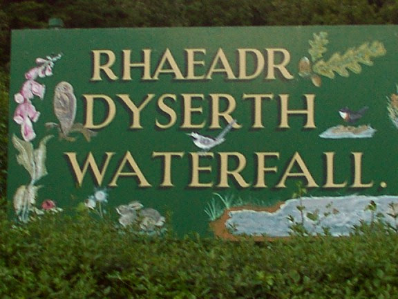
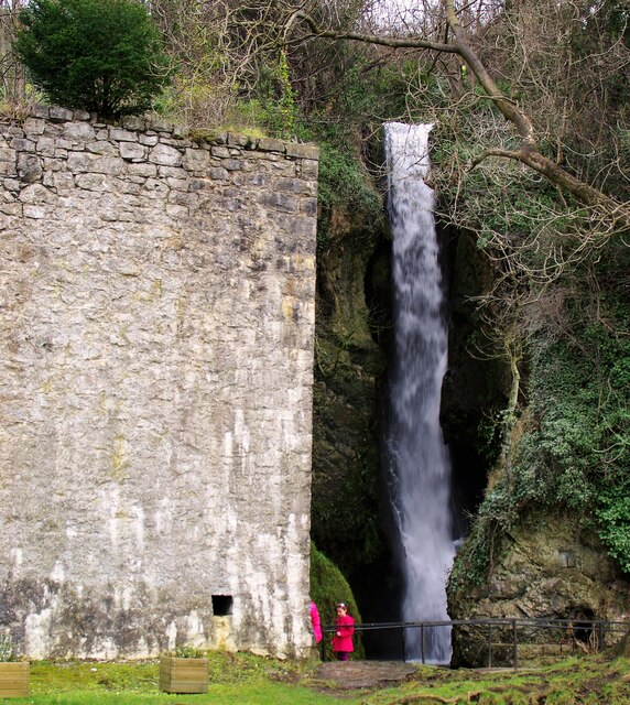
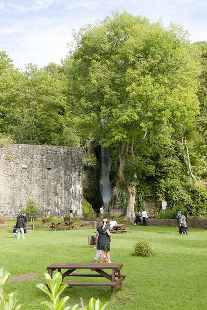
Dyserth Waterfall
Dyserth Waterfall is a waterfall in Dyserth, North Wales. The River Ffyddion, a tributary of the River Clwyd, falls down a 70-foot ledge creating the waterfall...
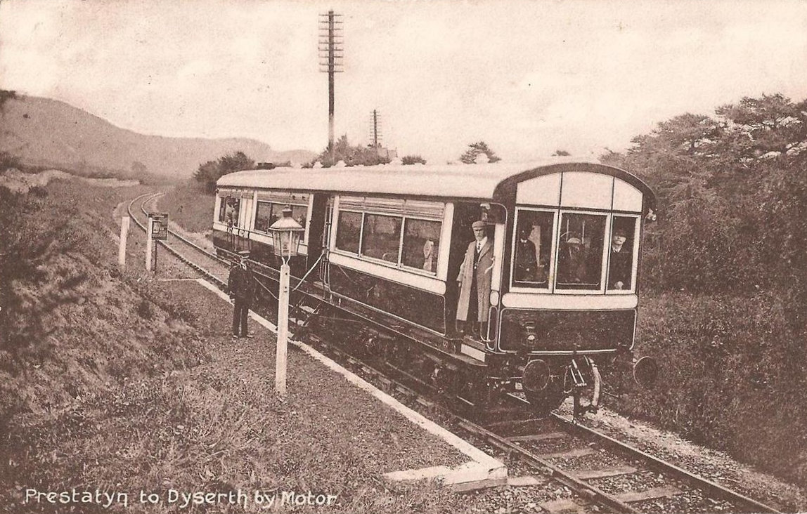
Dyserth railway station
Dyserth railway station served the village of Dyserth, Flintshire (now Denbighshire), Wales. It was the southern terminus of the 2 miles 70 chains (4.6...

Maes Hiraddug
Maes Hiraddug is a Site of Special Scientific Interest in the preserved county of Clwyd, north Wales. It is species-rich neutral grassland which includes...

Moel Hiraddug
Moel Hiraddug, also known as Y Foel, is a hill fort and hill in the Clwydian Range of north-east Wales. The northern part of the hill has been eaten away...
Alt-y-Graig railway station
Alt-y-Craig railway station (later renamed Allt-y-Graig) was an unstaffed halt on the Dyserth branch line. Like Woodland Park further down the line, passengers...

Graig Fawr
Graig Fawr is a Site of Special Scientific Interest in the preserved county of Clwyd, north Wales, now in Denbighshire. It is 153 metres (502 feet) high...

Bodrhyddan Hall
Bodrhyddan Hall is a country house in Rhuddlan, Denbighshire, Wales. It is a Grade I listed building.The present building is a 1690s remodelling of an...
Nearby Amenities
Located within 500m of 53.300424,-3.412944Have you been to Diserth?
Leave your review of Diserth below (or comments, questions and feedback).