Dyserth
Community in Flintshire
Wales
Dyserth
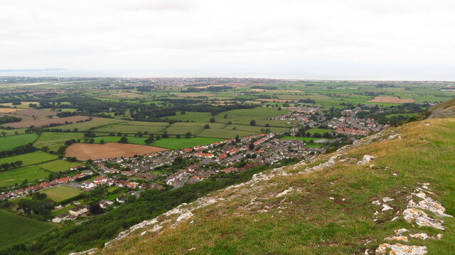
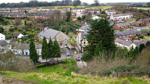
Dyserth is a small village and community located in Flintshire, Wales. Situated at the foothills of the Clwydian Range, it is approximately 3 miles from the market town of Prestatyn and 20 miles from the city of Chester.
The village is known for its charming rural setting and picturesque surroundings. It is home to a population of around 2,500 residents. Dyserth is rich in history, with evidence of human settlement dating back to the Bronze Age. The village grew during the industrial revolution due to the mining of lead and limestone in the area.
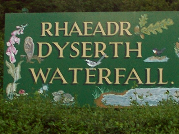
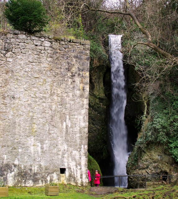
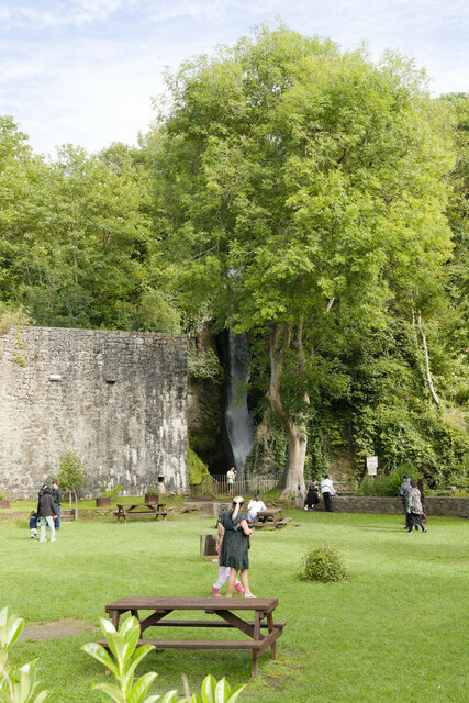
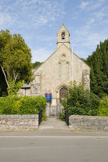
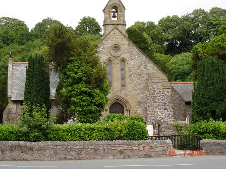
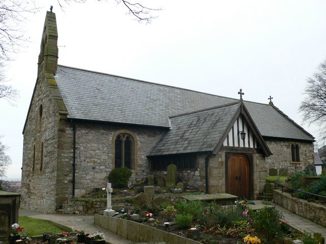
One of the main attractions in Dyserth is Dyserth Waterfall, a magnificent natural wonder that cascades down a limestone cliff. The waterfall has been a popular tourist destination for over a century and offers stunning views and pleasant walking trails. Other notable landmarks include St. Bridget's Church, a beautiful medieval church with a distinctive tower, and the ruins of Dyserth Castle, which dates back to the 13th century.
In terms of amenities, Dyserth offers a range of local shops, pubs, and restaurants, providing residents and visitors with essential services and a taste of local cuisine. The village also has a primary school, providing education for the younger population.
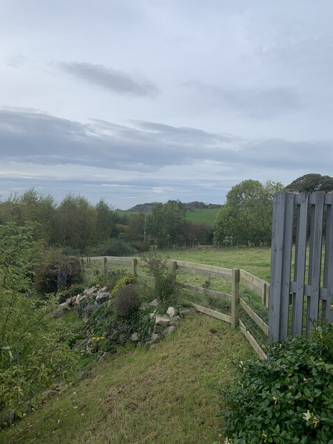
Dyserth is an ideal location for outdoor enthusiasts, offering access to a variety of outdoor activities such as hiking, cycling, and birdwatching. The village is well-connected by road and public transport, making it easily accessible for visitors and commuters alike.
If you have any feedback on the listing, please let us know in the comments section below.
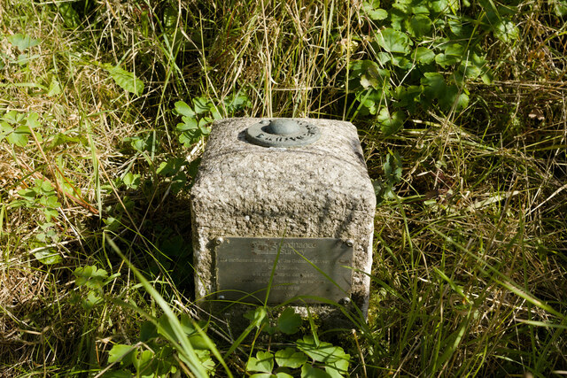
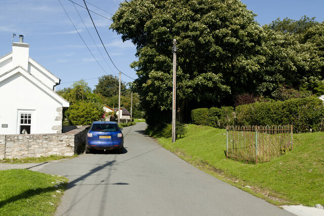
Dyserth Images
Images are sourced within 2km of 53.305032/-3.414072 or Grid Reference SJ0579. Thanks to Geograph Open Source API. All images are credited.


Dyserth is located at Grid Ref: SJ0579 (Lat: 53.305032, Lng: -3.414072)
Unitary Authority: Denbighshire
Police Authority: North Wales
What 3 Words
///stutter.dockers.ranks. Near Dyserth, Denbighshire
Nearby Locations
Related Wikis
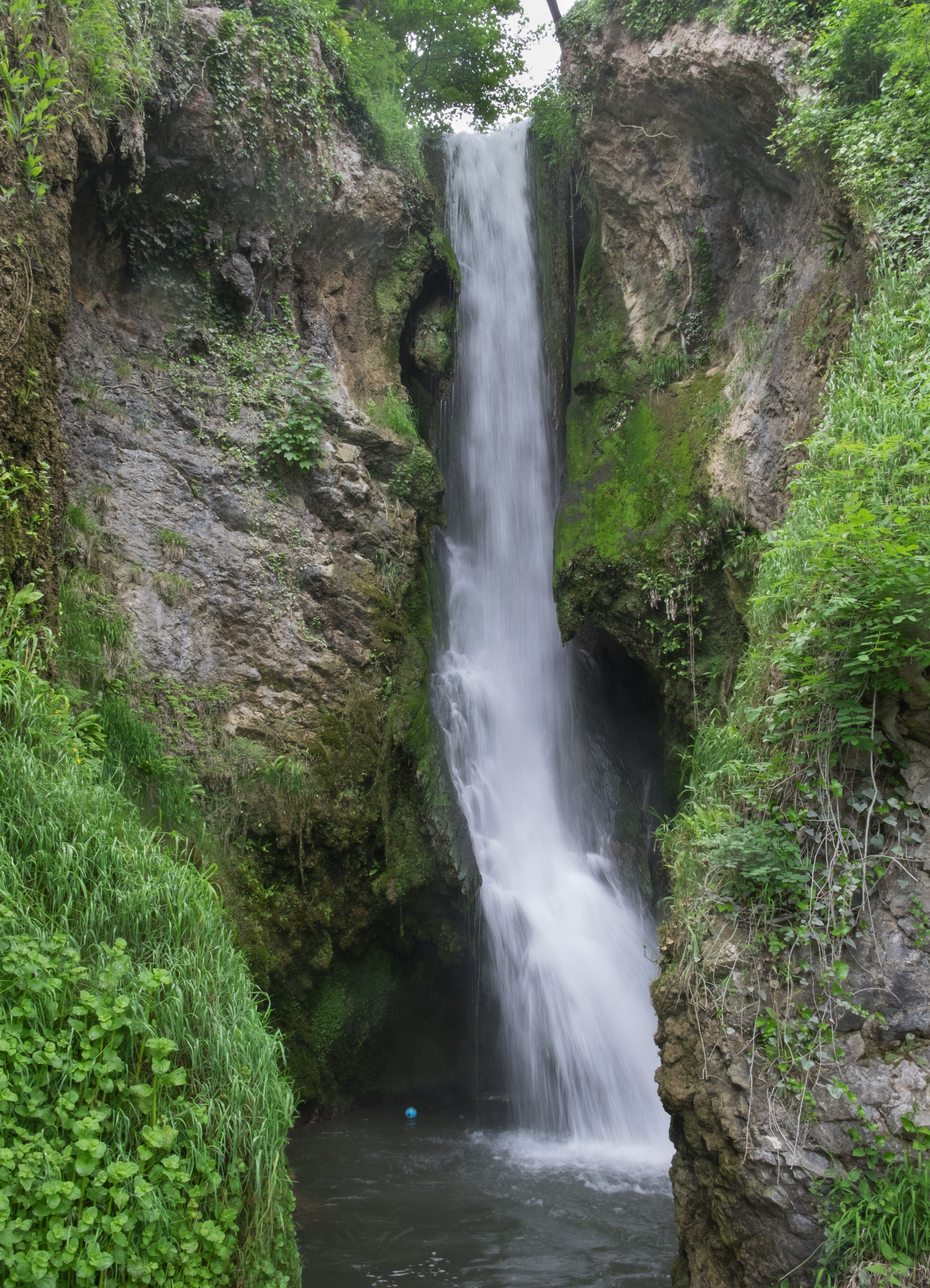
Dyserth Waterfall
Dyserth Waterfall is a waterfall in Dyserth, North Wales. The River Ffyddion, a tributary of the River Clwyd, falls down a 70-foot ledge creating the waterfall...

Maes Hiraddug
Maes Hiraddug is a Site of Special Scientific Interest in the preserved county of Clwyd, north Wales. It is species-rich neutral grassland which includes...
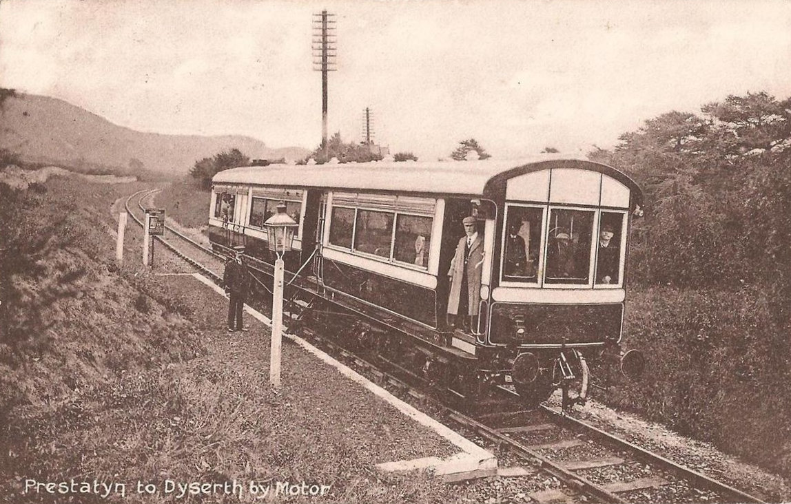
Dyserth railway station
Dyserth railway station served the village of Dyserth, Flintshire (now Denbighshire), Wales. It was the southern terminus of the 2 miles 70 chains (4.6...
Alt-y-Graig railway station
Alt-y-Craig railway station (later renamed Allt-y-Graig) was an unstaffed halt on the Dyserth branch line. Like Woodland Park further down the line, passengers...
Dyserth
Dyserth (Welsh: Diserth) is a village, community and electoral ward in Denbighshire, Wales. Its population at the 2011 United Kingdom census was 2,269...

Graig Fawr
Graig Fawr is a Site of Special Scientific Interest in the preserved county of Clwyd, north Wales, now in Denbighshire. It is 153 metres (502 feet) high...
Meliden railway station
Meliden railway station served the mining village of Meliden, Flintshire (now Denbighshire), Wales, on the Dyserth branch line. It was used as a way of...
Meliden
Meliden (Welsh: Alltmelyd) is a village between Prestatyn and Dyserth in Denbighshire, Wales. It grew up around the locality of lead mines and limestone...
Nearby Amenities
Located within 500m of 53.305032,-3.414072Have you been to Dyserth?
Leave your review of Dyserth below (or comments, questions and feedback).