Pistyll Brake

Wood, Forest in Glamorgan

Wales

Pistyll Brake

Ordnance Survey Cut Mark This OS cut mark can be found on the concrete post east side of the road. It marks a point 28.590m above mean sea level.
Ordnance Survey Cut Mark Credit: Adrian Dust

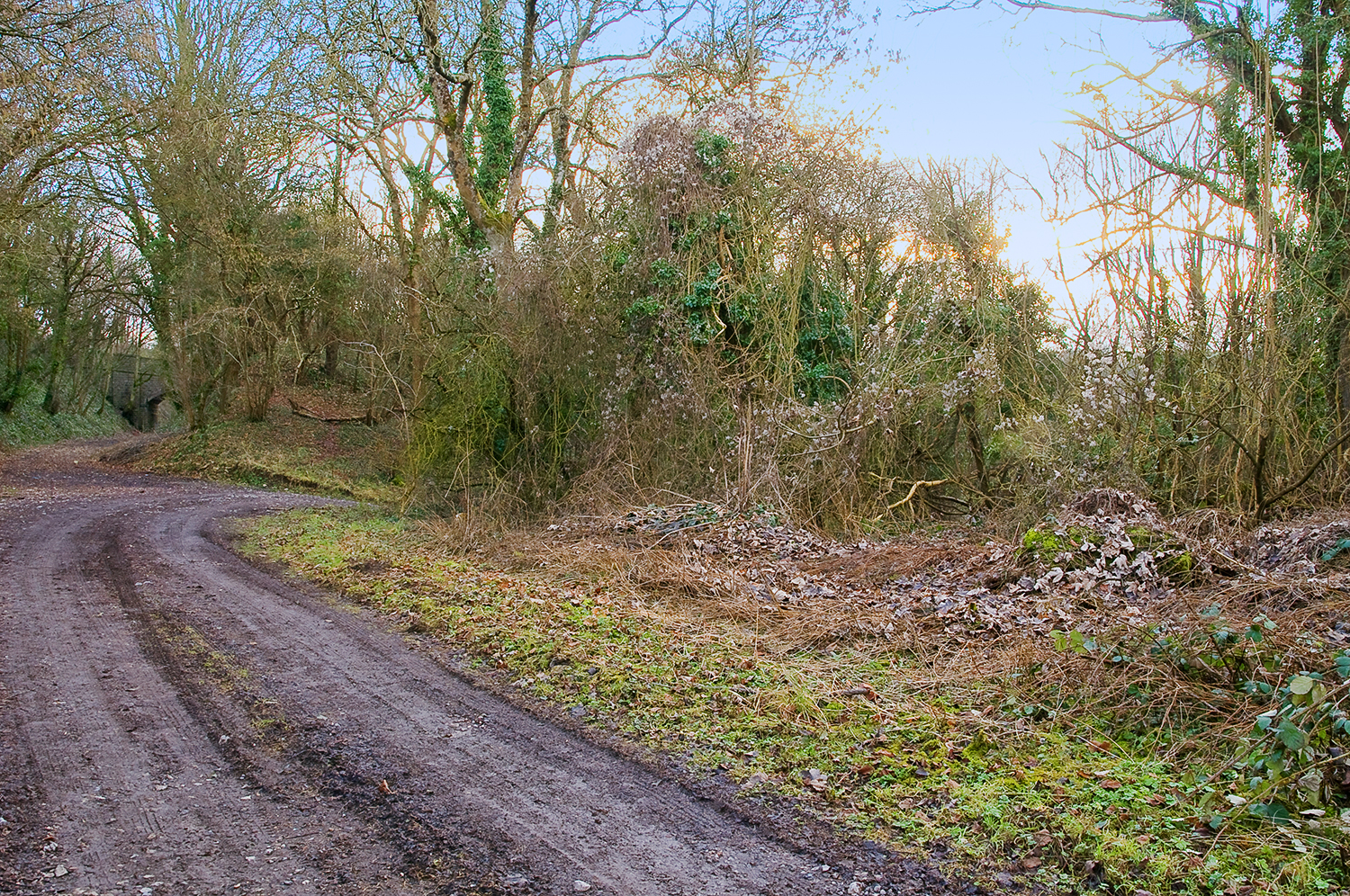
Pistyll Brake is a picturesque woodland located in Glamorgan, Wales. Nestled in the heart of the county, the forest boasts an enchanting setting that appeals to nature lovers and outdoor enthusiasts alike.

Covering an area of approximately 50 acres, Pistyll Brake is home to a diverse range of trees and wildlife species, making it an ideal destination for those seeking tranquility and a chance to connect with nature. The woodland is dominated by majestic oak and beech trees, their canopies creating a dense, shaded environment that provides a welcome respite from the hustle and bustle of everyday life.

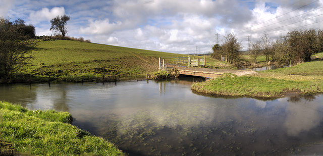
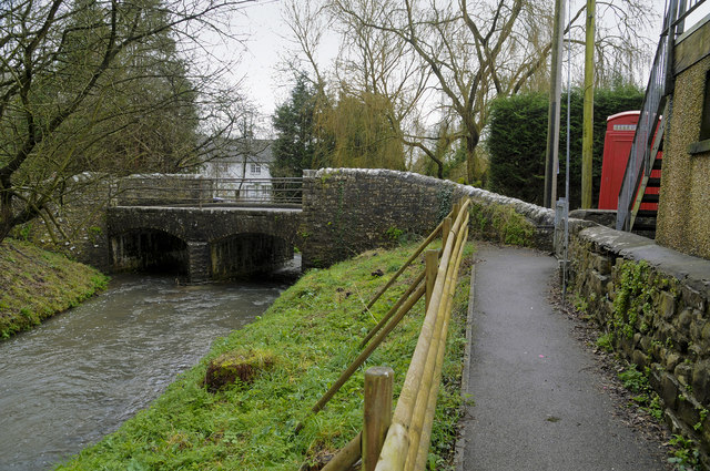
Visitors to Pistyll Brake can enjoy a network of well-maintained trails that wind through the forest, offering opportunities for leisurely strolls, invigorating hikes, or peaceful picnics. The paths are clearly marked, ensuring easy navigation and accessibility for all visitors. Along the way, hikers may encounter streams, waterfalls, and small ponds, adding to the area's natural charm and beauty.

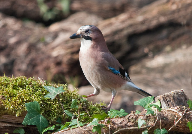
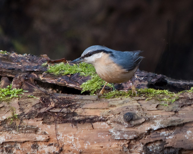
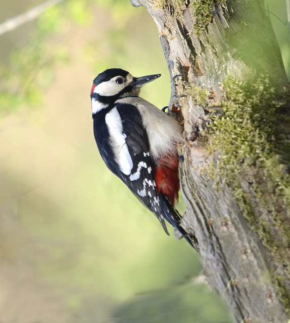
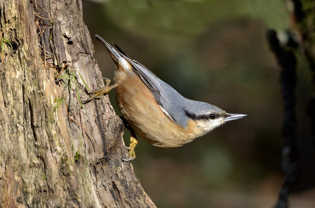
Birdwatchers will delight in the various avian species that call Pistyll Brake home. From colorful songbirds to majestic birds of prey, the woodland provides a haven for birdlife, making it an excellent spot for birdwatching enthusiasts to observe and appreciate these feathered creatures in their natural habitats.

Pistyll Brake is also known for its rich biodiversity, housing a wide array of plant species and small mammals. Squirrels, badgers, and foxes can often be spotted darting through the undergrowth, adding an element of excitement and wonder to any visit.

In summary, Pistyll Brake is a captivating woodland in Glamorgan that offers a tranquil escape into nature's embrace. With its scenic beauty, diverse flora and fauna, and well-maintained trails, it is a destination that truly allows visitors to immerse themselves in the natural wonders of Wales.

If you have any feedback on the listing, please let us know in the comments section below.

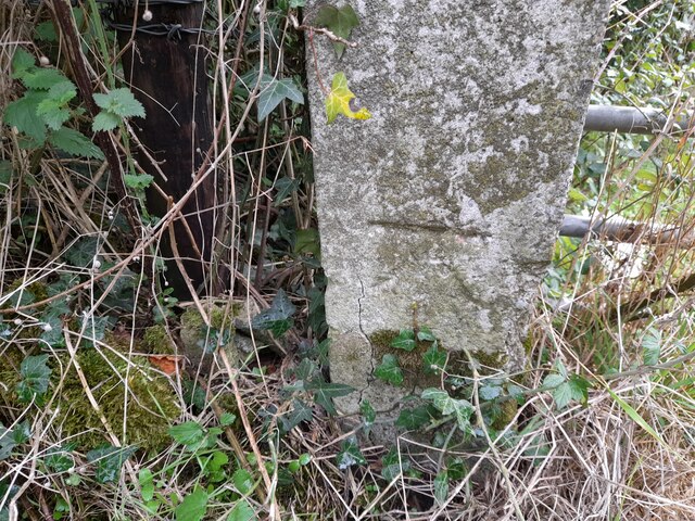
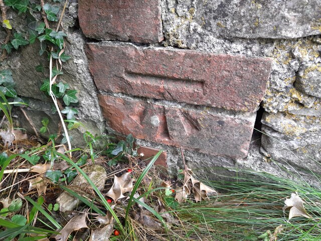
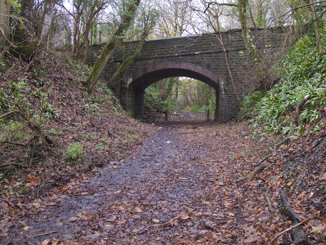
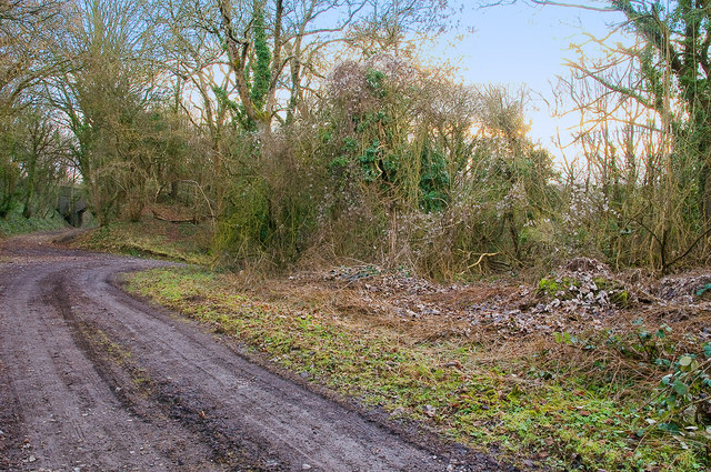
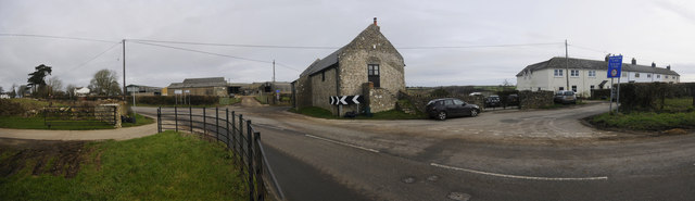
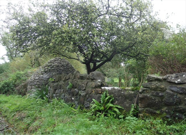
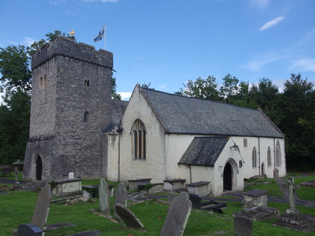
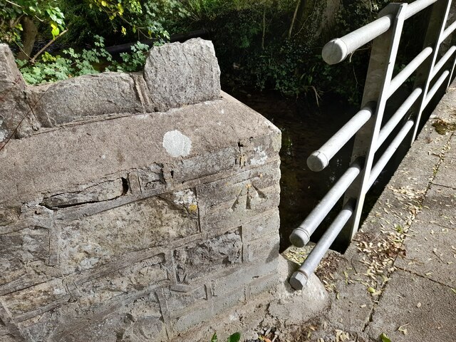
Pistyll Brake Images

Images are sourced within 2km of 51.430351/-3.3880316 or Grid Reference ST0371. Thanks to Geograph Open Source API. All images are credited.

Ordnance Survey Cut Mark This OS cut mark can be found on the concrete post east side of the road. It marks a point 28.590m above mean sea level.
Ordnance Survey Cut Mark
This OS cut mark can be found on the concrete post east side of the road. It marks a point 28.590m above mean sea level.
Ordnance Survey Cut Mark This OS cut mark can be found on the building NE side of the road. It marks a point 60.597m above mean sea level.
Ordnance Survey Cut Mark
This OS cut mark can be found on the building NE side of the road. It marks a point 60.597m above mean sea level.
Bridge over the line of the Cowbridge & Aberthaw Railway Looking south from near the site of the Llanbethery Platform.
Bridge over the line of the Cowbridge & Aberthaw Railway
Looking south from near the site of the Llanbethery Platform.
Llanbethery Platform, Cowbridge & Aberthaw Railway The remains of the platform (halt) are on the right of the photo.
The bridge on the left carried the road to Llanbethery over the railway.
Llanbethery Platform, Cowbridge & Aberthaw Railway
The remains of the platform (halt) are on the right of the photo. The bridge on the left carried the road to Llanbethery over the railway.
Pancross, Llancarfan This extreme wide angle view takes in about 210°
Pancross, Llancarfan
This extreme wide angle view takes in about 210°
Farm Bridge  across the River Thaw The bridge also serves the footpath running across the valley bed.
The power lines run north from the Aberthaw power station on the coast.
Farm Bridge across the River Thaw
The bridge also serves the footpath running across the valley bed. The power lines run north from the Aberthaw power station on the coast.
Electricity Pylon Looking north up the Thaw Valley.
The Aberthaw power station is two miles south on the coast.
Electricity Pylon
Looking north up the Thaw Valley. The Aberthaw power station is two miles south on the coast.
Pigsty and Stone Stile Traditional 18th century corbelled pigsty constructed of coursed liassic limestone rubble with traces of limewash together with the remains of the pig pen with enclosing walls, also of limestone. The stone stile survives in the wall to the north of the sty.
Listed by Cadw as Grade II.
Pigsty and Stone Stile
Traditional 18th century corbelled pigsty constructed of coursed liassic limestone rubble with traces of limewash together with the remains of the pig pen with enclosing walls, also of limestone. The stone stile survives in the wall to the north of the sty. Listed by Cadw as Grade II.
St Cadoc's Parish Church, Llancarfan The parish church of Llancarfan is dedicated to St Cadoc who founded a monastery on the site in the 6th century. The original Norman church was replaced with this one in the 13th and 14th centuries. In the 14th century the south aisle was lengthened, widened and raised to create the Raglan Chapel and the West tower was erected. The chancel, nave and Raglan Chapel were re-roofed in the 15th century. Between 1887-1888 the church was restored including substantial rebuilding of the West tower.
The tower contains 4 bells all originally cast in the 17th century.
The church is listed as Grade I by Cadw.
St Cadoc's Parish Church, Llancarfan
The parish church of Llancarfan is dedicated to St Cadoc who founded a monastery on the site in the 6th century. The original Norman church was replaced with this one in the 13th and 14th centuries. In the 14th century the south aisle was lengthened, widened and raised to create the Raglan Chapel and the West tower was erected. The chancel, nave and Raglan Chapel were re-roofed in the 15th century. Between 1887-1888 the church was restored including substantial rebuilding of the West tower. The tower contains 4 bells all originally cast in the 17th century. The church is listed as Grade I by Cadw.
Ordnance Survey Cut Mark This OS cut mark can be found on the Footbridge. It marks a point 17.651m above mean sea level.
Ordnance Survey Cut Mark
This OS cut mark can be found on the Footbridge. It marks a point 17.651m above mean sea level.
Jay The Jay is a large and colourful bird yet is rarely seen.  Its harsh call is  often heard when walking in woodland however.  Being a member of the Crow family it is highly intelligent and particularly alert to intrusion in its home territory and its call as it flies to safety alerts all inhabitants of the woodland to our presence. For this reason it is sometimes known as the Watchman of the Woods.  When rarely seen in the open and flying to the nearest woodland cover it is identifiable  by its large size and obvious white rump.
Jay
The Jay is a large and colourful bird yet is rarely seen. Its harsh call is often heard when walking in woodland however. Being a member of the Crow family it is highly intelligent and particularly alert to intrusion in its home territory and its call as it flies to safety alerts all inhabitants of the woodland to our presence. For this reason it is sometimes known as the Watchman of the Woods. When rarely seen in the open and flying to the nearest woodland cover it is identifiable by its large size and obvious white rump.
Nuthatch The Nuthatch is one of the most colourful birds to be found in Britain.  It is to be found in mixed and deciduous woodland, parks with mature trees and in winter regularly visits gardens where it takes a variety of wild bird food such as seed, fatballs and peanuts.
Its call varies from four or five consecutive whistles followed by a very quick repetition, likened in the past to that of an errand boy, or a soft but resounding 'chit-chit-chit'. 
Uniquely among British birds the male of the species seals the female inside the selected nest chamber, a hole in a tree or occasionally a nest box, by daubing mud around its rim until their young hatch from the eggs. Once they have hatched the female is released so that she can assist with feeding the young.
The species is to be found in the south and Midlands of England and Wales though it is enjoying expansion to the north and into Scotland where it has bred.
Nuthatch
The Nuthatch is one of the most colourful birds to be found in Britain. It is to be found in mixed and deciduous woodland, parks with mature trees and in winter regularly visits gardens where it takes a variety of wild bird food such as seed, fatballs and peanuts. Its call varies from four or five consecutive whistles followed by a very quick repetition, likened in the past to that of an errand boy, or a soft but resounding 'chit-chit-chit'. Uniquely among British birds the male of the species seals the female inside the selected nest chamber, a hole in a tree or occasionally a nest box, by daubing mud around its rim until their young hatch from the eggs. Once they have hatched the female is released so that she can assist with feeding the young. The species is to be found in the south and Midlands of England and Wales though it is enjoying expansion to the north and into Scotland where it has bred.
Cut Bench Mark, Llancarfan The bench mark is on the south-east parapet of the bridge over the river about 55cms above road level.
Its recorded elevation is 16.14m or 52.45ft
Cut Bench Mark, Llancarfan
The bench mark is on the south-east parapet of the bridge over the river about 55cms above road level. Its recorded elevation is 16.14m or 52.45ft
Cut Bench Mark, Llancarfan Church The bench mark is on the eastern end of the south wall of the church.
Its recorded elevation is 16.46m or 53.495ft.
Cut Bench Mark, Llancarfan Church
The bench mark is on the eastern end of the south wall of the church. Its recorded elevation is 16.46m or 53.495ft.
Road Bridge over the Nant Llancarfan The building on the right is the village hall.
Road Bridge over the Nant Llancarfan
The building on the right is the village hall.
A Male Great Spotted Woodpecker - Coed Hills
Nuthatch - Vale of Glamorgan The Nuthatch is one of the most colourful birds to be found in Britain. It is to be found in mixed and deciduous woodland, parks with mature trees and in winter regularly visits gardens where it takes a variety of wild bird food such as seed, fatballs and peanuts. This, the Eurasian Nuthatch, is found throughout Europe and much of Asia and has recently begun to extend its UK range to Scotland.
Nuthatch - Vale of Glamorgan
The Nuthatch is one of the most colourful birds to be found in Britain. It is to be found in mixed and deciduous woodland, parks with mature trees and in winter regularly visits gardens where it takes a variety of wild bird food such as seed, fatballs and peanuts. This, the Eurasian Nuthatch, is found throughout Europe and much of Asia and has recently begun to extend its UK range to Scotland.
Great Spotted Woodpecker One of the most impressive of resident species to be commonly found in Britain's woodlands.
Great Spotted Woodpecker
One of the most impressive of resident species to be commonly found in Britain's woodlands.
Show me another place!

Pistyll Brake is located at Grid Ref: ST0371 (Lat: 51.430351, Lng: -3.3880316)

Unitary Authority: The Vale of Glamorgan

Police Authority: South Wales

What 3 Words

///whisk.zapped.caring. Near Cowbridge, Vale of Glamorgan

Related Wikis

Llanbethery

Llanbethery (Welsh: Llanbydderi) is a small village in the Vale of Glamorgan, south Wales. It is part of the community of Llancarfan.Llanbethery was once...

Llanbethery Platform railway station

Llanbethery Platform was a short-lived railway station in the Vale of Glamorgan, South Wales. == History == The station was one of four platforms opened...

Llancarfan

Llancarfan is a rural village and community in the Vale of Glamorgan, Wales. The village, located west of Barry and near Cowbridge, has a well-known parish...

St Mary Church Road railway station

St Mary Church Road railway station was a railway station in the Vale of Glamorgan, South Wales. == Description == The station was one of the three original...

Nearby Amenities

Located within 500m of 51.430351,-3.3880316
Power: tower
Lat/Long: 51.4293539/-3.3931105
Power: tower
Lat/Long: 51.4324108/-3.3899422
The data included in this document is from www.openstreetmap.org. The data is made available under ODbL.

Have you been to Pistyll Brake?

Leave your review of Pistyll Brake below (or comments, questions and feedback).