Treguff

Heritage Site in Glamorgan

Wales

Treguff

Ordnance Survey Cut Mark This OS cut mark can be found on the building NE side of the road. It marks a point 60.597m above mean sea level.
Ordnance Survey Cut Mark Credit: Adrian Dust

Treguff is a small village located in the historic county of Glamorgan, Wales. It is situated in the picturesque Vale of Glamorgan, just a few miles away from the town of Cowbridge. The village is renowned for its rich heritage and is home to several notable heritage sites.

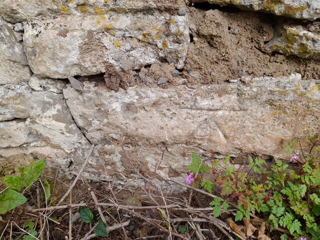
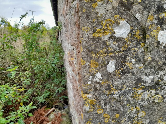
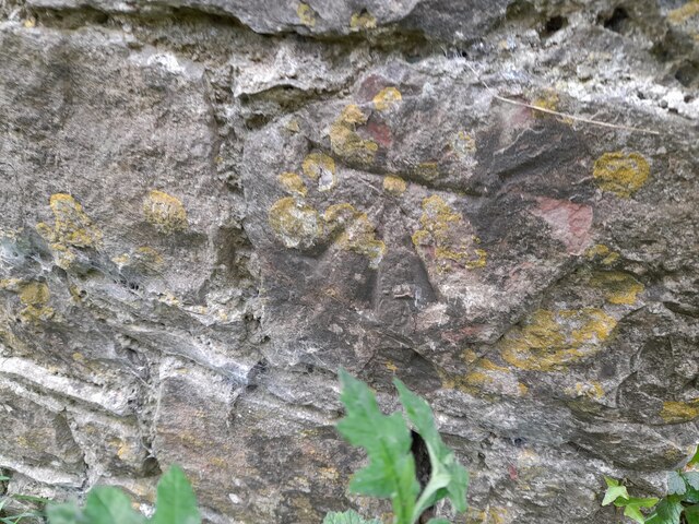
One of the most prominent heritage sites in Treguff is the Treguff Castle. This medieval castle dates back to the 12th century and is a well-preserved example of a motte and bailey castle. The castle stands on a prominent hill and offers stunning views of the surrounding countryside.

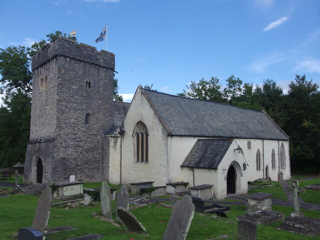
Another notable heritage site in Treguff is the St. Cewydd Church. This ancient church is believed to have been established in the 13th century and is known for its beautiful architecture and ornate interior. The church is still an active place of worship and holds regular services.

Treguff also boasts a number of historic houses and buildings, including Treguff Farmhouse, which is a Grade II listed building. This 17th-century farmhouse is a fine example of vernacular architecture and has been well-preserved over the years.

Aside from its heritage sites, Treguff is also renowned for its natural beauty. The village is surrounded by rolling hills, lush green fields, and scenic landscapes, making it a popular destination for outdoor enthusiasts and nature lovers.

Overall, Treguff is a charming village with a rich heritage and stunning natural surroundings. It offers visitors an opportunity to immerse themselves in history, explore ancient architecture, and enjoy the beauty of the Welsh countryside.

If you have any feedback on the listing, please let us know in the comments section below.
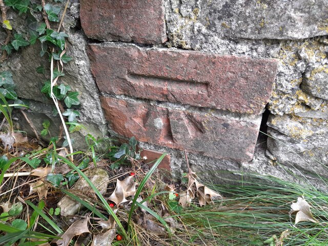
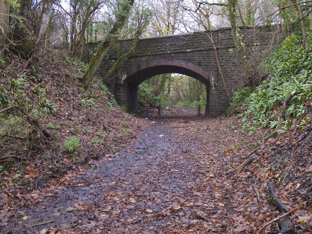
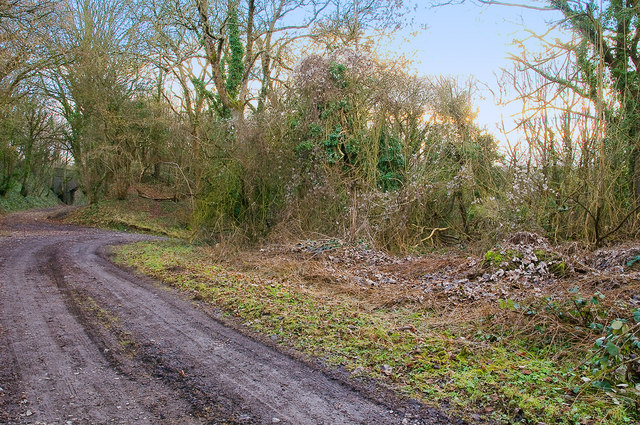
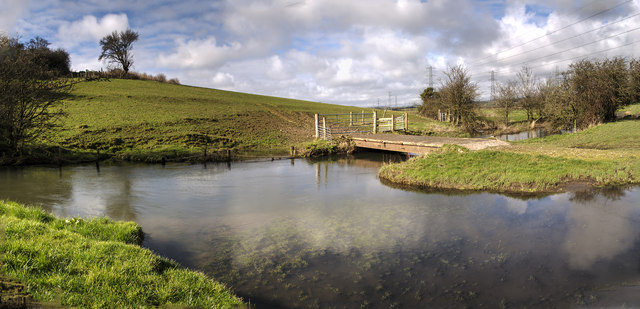
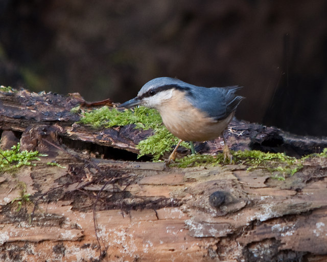
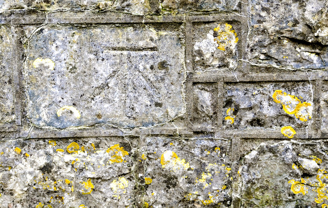
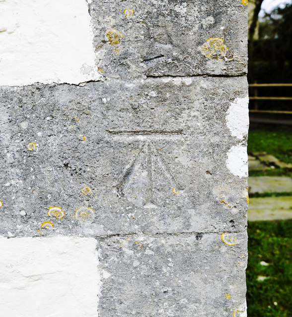
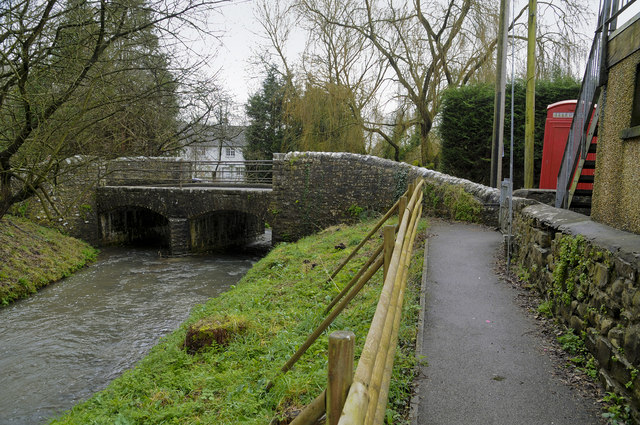
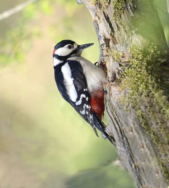
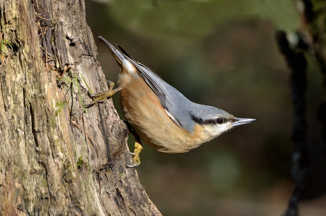
Treguff Images

Images are sourced within 2km of 51.433/-3.388 or Grid Reference ST0371. Thanks to Geograph Open Source API. All images are credited.

Ordnance Survey Cut Mark This OS cut mark can be found on the building NE side of the road. It marks a point 60.597m above mean sea level.
Ordnance Survey Cut Mark
This OS cut mark can be found on the building NE side of the road. It marks a point 60.597m above mean sea level.
Bridge over the line of the Cowbridge & Aberthaw Railway Looking south from near the site of the Llanbethery Platform.
Bridge over the line of the Cowbridge & Aberthaw Railway
Looking south from near the site of the Llanbethery Platform.
Llanbethery Platform, Cowbridge & Aberthaw Railway The remains of the platform (halt) are on the right of the photo.
The bridge on the left carried the road to Llanbethery over the railway.
Llanbethery Platform, Cowbridge & Aberthaw Railway
The remains of the platform (halt) are on the right of the photo. The bridge on the left carried the road to Llanbethery over the railway.
Farm Bridge  across the River Thaw The bridge also serves the footpath running across the valley bed.
The power lines run north from the Aberthaw power station on the coast.
Farm Bridge across the River Thaw
The bridge also serves the footpath running across the valley bed. The power lines run north from the Aberthaw power station on the coast.
Electricity Pylon Looking north up the Thaw Valley.
The Aberthaw power station is two miles south on the coast.
Electricity Pylon
Looking north up the Thaw Valley. The Aberthaw power station is two miles south on the coast.
Pigsty and Stone Stile Traditional 18th century corbelled pigsty constructed of coursed liassic limestone rubble with traces of limewash together with the remains of the pig pen with enclosing walls, also of limestone. The stone stile survives in the wall to the north of the sty.
Listed by Cadw as Grade II.
Pigsty and Stone Stile
Traditional 18th century corbelled pigsty constructed of coursed liassic limestone rubble with traces of limewash together with the remains of the pig pen with enclosing walls, also of limestone. The stone stile survives in the wall to the north of the sty. Listed by Cadw as Grade II.
St Cadoc's Parish Church, Llancarfan The parish church of Llancarfan is dedicated to St Cadoc who founded a monastery on the site in the 6th century. The original Norman church was replaced with this one in the 13th and 14th centuries. In the 14th century the south aisle was lengthened, widened and raised to create the Raglan Chapel and the West tower was erected. The chancel, nave and Raglan Chapel were re-roofed in the 15th century. Between 1887-1888 the church was restored including substantial rebuilding of the West tower.
The tower contains 4 bells all originally cast in the 17th century.
The church is listed as Grade I by Cadw.
St Cadoc's Parish Church, Llancarfan
The parish church of Llancarfan is dedicated to St Cadoc who founded a monastery on the site in the 6th century. The original Norman church was replaced with this one in the 13th and 14th centuries. In the 14th century the south aisle was lengthened, widened and raised to create the Raglan Chapel and the West tower was erected. The chancel, nave and Raglan Chapel were re-roofed in the 15th century. Between 1887-1888 the church was restored including substantial rebuilding of the West tower. The tower contains 4 bells all originally cast in the 17th century. The church is listed as Grade I by Cadw.
Ordnance Survey Cut Mark This OS cut mark can be found on the Footbridge. It marks a point 17.651m above mean sea level.
Ordnance Survey Cut Mark
This OS cut mark can be found on the Footbridge. It marks a point 17.651m above mean sea level.
Ordnance Survey Cut Mark This OS cut mark can be found on the wall of Cross House. It marks a point 53.038m above mean sea level.
Ordnance Survey Cut Mark
This OS cut mark can be found on the wall of Cross House. It marks a point 53.038m above mean sea level.
Ordnance Survey Cut Mark This OS cut mark can be found on the barn at Cross House. It marks a point 54.437m above mean sea level.
Ordnance Survey Cut Mark
This OS cut mark can be found on the barn at Cross House. It marks a point 54.437m above mean sea level.
Ordnance Survey Cut Mark This OS cut mark can be found on the roadside building at New House Farm. It marks a point 62.134m above mean sea level.
Ordnance Survey Cut Mark
This OS cut mark can be found on the roadside building at New House Farm. It marks a point 62.134m above mean sea level.
Jay The Jay is a large and colourful bird yet is rarely seen.  Its harsh call is  often heard when walking in woodland however.  Being a member of the Crow family it is highly intelligent and particularly alert to intrusion in its home territory and its call as it flies to safety alerts all inhabitants of the woodland to our presence. For this reason it is sometimes known as the Watchman of the Woods.  When rarely seen in the open and flying to the nearest woodland cover it is identifiable  by its large size and obvious white rump.
Jay
The Jay is a large and colourful bird yet is rarely seen. Its harsh call is often heard when walking in woodland however. Being a member of the Crow family it is highly intelligent and particularly alert to intrusion in its home territory and its call as it flies to safety alerts all inhabitants of the woodland to our presence. For this reason it is sometimes known as the Watchman of the Woods. When rarely seen in the open and flying to the nearest woodland cover it is identifiable by its large size and obvious white rump.
Nuthatch The Nuthatch is one of the most colourful birds to be found in Britain.  It is to be found in mixed and deciduous woodland, parks with mature trees and in winter regularly visits gardens where it takes a variety of wild bird food such as seed, fatballs and peanuts.
Its call varies from four or five consecutive whistles followed by a very quick repetition, likened in the past to that of an errand boy, or a soft but resounding 'chit-chit-chit'. 
Uniquely among British birds the male of the species seals the female inside the selected nest chamber, a hole in a tree or occasionally a nest box, by daubing mud around its rim until their young hatch from the eggs. Once they have hatched the female is released so that she can assist with feeding the young.
The species is to be found in the south and Midlands of England and Wales though it is enjoying expansion to the north and into Scotland where it has bred.
Nuthatch
The Nuthatch is one of the most colourful birds to be found in Britain. It is to be found in mixed and deciduous woodland, parks with mature trees and in winter regularly visits gardens where it takes a variety of wild bird food such as seed, fatballs and peanuts. Its call varies from four or five consecutive whistles followed by a very quick repetition, likened in the past to that of an errand boy, or a soft but resounding 'chit-chit-chit'. Uniquely among British birds the male of the species seals the female inside the selected nest chamber, a hole in a tree or occasionally a nest box, by daubing mud around its rim until their young hatch from the eggs. Once they have hatched the female is released so that she can assist with feeding the young. The species is to be found in the south and Midlands of England and Wales though it is enjoying expansion to the north and into Scotland where it has bred.
Cut Bench Mark, Llancarfan The bench mark is on the south-east parapet of the bridge over the river about 55cms above road level.
Its recorded elevation is 16.14m or 52.45ft
Cut Bench Mark, Llancarfan
The bench mark is on the south-east parapet of the bridge over the river about 55cms above road level. Its recorded elevation is 16.14m or 52.45ft
Cut Bench Mark, Llancarfan Church The bench mark is on the eastern end of the south wall of the church.
Its recorded elevation is 16.46m or 53.495ft.
Cut Bench Mark, Llancarfan Church
The bench mark is on the eastern end of the south wall of the church. Its recorded elevation is 16.46m or 53.495ft.
Road Bridge over the Nant Llancarfan The building on the right is the village hall.
Road Bridge over the Nant Llancarfan
The building on the right is the village hall.
A Male Great Spotted Woodpecker - Coed Hills
Nuthatch - Vale of Glamorgan The Nuthatch is one of the most colourful birds to be found in Britain. It is to be found in mixed and deciduous woodland, parks with mature trees and in winter regularly visits gardens where it takes a variety of wild bird food such as seed, fatballs and peanuts. This, the Eurasian Nuthatch, is found throughout Europe and much of Asia and has recently begun to extend its UK range to Scotland.
Nuthatch - Vale of Glamorgan
The Nuthatch is one of the most colourful birds to be found in Britain. It is to be found in mixed and deciduous woodland, parks with mature trees and in winter regularly visits gardens where it takes a variety of wild bird food such as seed, fatballs and peanuts. This, the Eurasian Nuthatch, is found throughout Europe and much of Asia and has recently begun to extend its UK range to Scotland.
Show me another place!

Treguff is located at Grid Ref: ST0371 (Lat: 51.433, Lng: -3.388)

Unitary Authority: The Vale of Glamorgan

Police Authority: South Wales

What 3 Words

///freed.eradicate.required. Near Cowbridge, Vale of Glamorgan

Related Wikis

Llanbethery

Llanbethery (Welsh: Llanbydderi) is a small village in the Vale of Glamorgan, south Wales. It is part of the community of Llancarfan.Llanbethery was once...

St Mary Church Road railway station

St Mary Church Road railway station was a railway station in the Vale of Glamorgan, South Wales. == Description == The station was one of the three original...

Llantrithyd

Llantrithyd (also Llantriddyd) is a rural village and community in the Vale of Glamorgan, Wales. The Aubrey Baronets were lords of the manor of Llantrithyd...

Llancarfan

Llancarfan is a rural village and community in the Vale of Glamorgan, Wales. The village, located west of Barry and near Cowbridge, has a well-known parish...

Related Videos

The Valeways - Millennium Heritage Trail - Section 6 - Llanbethery to Old Beaupre

A series of videos breakdown the Millennium Heritage Trail, as set out by The Valeways Guidebook, taking in incredible historical ...

East Orchard Castle - Hidden Wales

To donate and support our channel: https://www.buymeacoffee.com/dashboard East Orchard Castle is a beautiful and relatively ...

Old Beaupre Castle - Drone

To donate and support our channel: https://www.buymeacoffee.com/dashboard Old Beaupre Castle is a wonderful fortified manor ...

Strawberry farm near Bridgend,Wales

travelcouple #Strawberry #malayaliuk #ukmallu #uklife#kanjirappallykaran.

Nearby Amenities

Located within 500m of 51.433,-3.388
Power: tower
Lat/Long: 51.4353872/-3.386788
Power: tower
Lat/Long: 51.4324108/-3.3899422
The data included in this document is from www.openstreetmap.org. The data is made available under ODbL.

Have you been to Treguff?

Leave your review of Treguff below (or comments, questions and feedback).