Middle Gwerneirin Wood

Wood, Forest in Montgomeryshire

Wales

Middle Gwerneirin Wood

The road to Caersws Melin-y-gloch - an old lead-mining area -  is visible in the distance.
The road to Caersws Credit: John Lucas

The requested URL returned error: 429 Too Many Requests

If you have any feedback on the listing, please let us know in the comments section below.

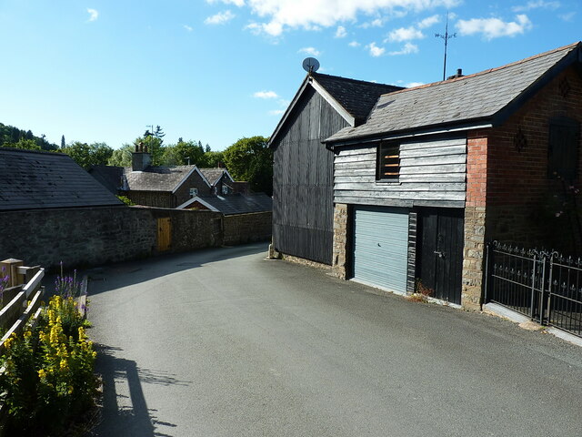
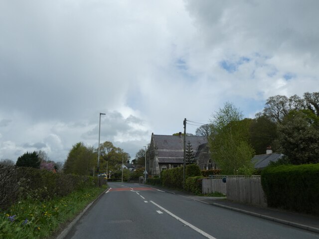
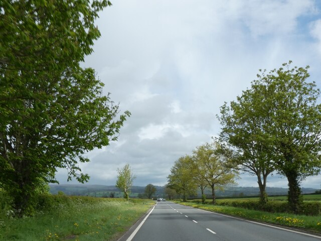
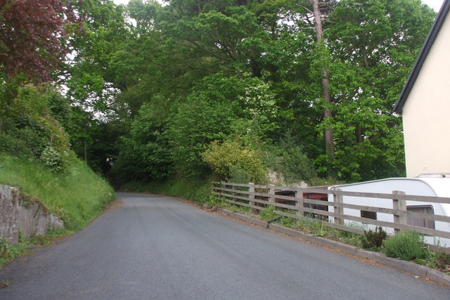
Middle Gwerneirin Wood Images

Images are sourced within 2km of 52.493784/-3.4565181 or Grid Reference SO0189. Thanks to Geograph Open Source API. All images are credited.

The road to Caersws Melin-y-gloch - an old lead-mining area -  is visible in the distance.
The road to Caersws
Melin-y-gloch - an old lead-mining area - is visible in the distance.
Llandinam village - just east of the main road
Llandinam Institute and hall Built around 1905-1910, and consisting of a library and meeting rooms, the Institute was Grade II listed in 1996. It is noted for illustrating the beneficence of the local Davies family of Plâs Dinam towards their village, the house being half a mile or so further north.
Llandinam Institute and hall
Built around 1905-1910, and consisting of a library and meeting rooms, the Institute was Grade II listed in 1996. It is noted for illustrating the beneficence of the local Davies family of Plâs Dinam towards their village, the house being half a mile or so further north.
OS Flush Bracket 11673 - Llandinam Found on the roadside wall just north of <a href="https://www.geograph.org.uk/photo/2987313">SO0288 : The Lion Hotel - Llandinam</a> (which is currently closed and awaiting new ownership in 2022), the flush bracket was last levelled in 1971 at 137.023m above Ordnance Datum Newlyn.
OS Flush Bracket 11673 - Llandinam
Found on the roadside wall just north of SO0288 : The Lion Hotel - Llandinam (which is currently closed and awaiting new ownership in 2022), the flush bracket was last levelled in 1971 at 137.023m above Ordnance Datum Newlyn.
Llandinam Bridge Built in 1846 to the design of the Montgomeryshire County Surveyor Thomas Penson, but very much in the style of a number of cast iron bridges by the famous engineer Thomas Telford. It was cast at an ironworks at Hawarden in North Wales, which had bought some of Telford's castings by that stage. It was Grade II* listed <span class="nowrap"><a title="https://britishlistedbuildings.co.uk/300015653-llandinam-bridge-llandinam#.Yt11OnbMLIU" rel="nofollow ugc noopener" href="https://britishlistedbuildings.co.uk/300015653-llandinam-bridge-llandinam#.Yt11OnbMLIU">Link</a><img style="margin-left:2px;" alt="External link" title="External link - shift click to open in new window" src="https://s1.geograph.org.uk/img/external.png" width="10" height="10"/></span> in 1994. The railings at the western end still have the <a href="https://www.geograph.org.uk/photo/7236920">SO0288 : Council axle weight restriction on Llandinam Bridge</a> sign dated 1906, limiting motor cars to 3 tons per axle.
Llandinam Bridge
Built in 1846 to the design of the Montgomeryshire County Surveyor Thomas Penson, but very much in the style of a number of cast iron bridges by the famous engineer Thomas Telford. It was cast at an ironworks at Hawarden in North Wales, which had bought some of Telford's castings by that stage. It was Grade II* listed LinkExternal link in 1994. The railings at the western end still have the SO0288 : Council axle weight restriction on Llandinam Bridge sign dated 1906, limiting motor cars to 3 tons per axle.
Council axle weight restriction on Llandinam Bridge Dated 1906 by Montgomeryshire CC, the cast iron sign states that "This bridge is insufficient[ly strong] to carry heavy motor cars" where the registered axle weight of any axle exceeds three tons. It forms part of the bridge's Grade II* listing <span class="nowrap"><a title="https://britishlistedbuildings.co.uk/300015653-llandinam-bridge-llandinam#.Yt14XnbMLIU" rel="nofollow ugc noopener" href="https://britishlistedbuildings.co.uk/300015653-llandinam-bridge-llandinam#.Yt14XnbMLIU">Link</a><img style="margin-left:2px;" alt="External link" title="External link - shift click to open in new window" src="https://s1.geograph.org.uk/img/external.png" width="10" height="10"/></span>
Council axle weight restriction on Llandinam Bridge
Dated 1906 by Montgomeryshire CC, the cast iron sign states that "This bridge is insufficient[ly strong] to carry heavy motor cars" where the registered axle weight of any axle exceeds three tons. It forms part of the bridge's Grade II* listing LinkExternal link
A470 near Plas Dinam Country House
A470 at Llandinam village
A470 and the chapel at Llandinam
David Davies statue, Llandinam A description of the man and his achievements is at <a href="https://www.geograph.org.uk/photo/1389130">SO0288 : David Davies statue beside the A470</a>
David Davies statue, Llandinam
A description of the man and his achievements is at SO0288 : David Davies statue beside the A470
A470 north of Llandinam
A flat landscape, A470 north of Llandinam
War memorial at Llandinam
Llandinam Presbyterian Church
Unknown lane, Llandinam Only ended up here because I needed somewhere to turn around the car.
Unknown lane, Llandinam
Only ended up here because I needed somewhere to turn around the car.
Llandinam Bridge
Llandinam Bridge
Entering Llandinam on A470 southbound
The Lion Hotel, Llandinam I love the wall hoarding stating that they serve 'homely Montgomeryshire fayre' - an inducement to enter if ever one was needed.

Pubs should make the most of their regional produce, traditions and dishes pertaining to their home turf, however homely. How can homely ever be a bad thing?
The Lion Hotel, Llandinam
I love the wall hoarding stating that they serve 'homely Montgomeryshire fayre' - an inducement to enter if ever one was needed. Pubs should make the most of their regional produce, traditions and dishes pertaining to their home turf, however homely. How can homely ever be a bad thing?
Show me another place!

Middle Gwerneirin Wood is located at Grid Ref: SO0189 (Lat: 52.493784, Lng: -3.4565181)

Unitary Authority: Powys

Police Authority: Dyfed Powys

What 3 Words

///clean.bunny.wound. Near Mochdre, Powys

Related Wikis

Cefn Carnedd

Cefn Carnedd is an Iron Age hillfort, about 1.5 miles (2 km) south-west of Caersws, in Powys, Wales. It is a scheduled monument.It is on a hill overlooking...

Broneirion

Broneirion is a Victorian house and grounds on the hillside across the River Severn from the village of Llandinam. It was built by Welsh industrialist...

Llandinam railway station

Llandinam railway station was a station serving Llandinam, Powys, on the Llanidloes and Newtown Railway (L&NR) line. The L&NR was authorised in August...
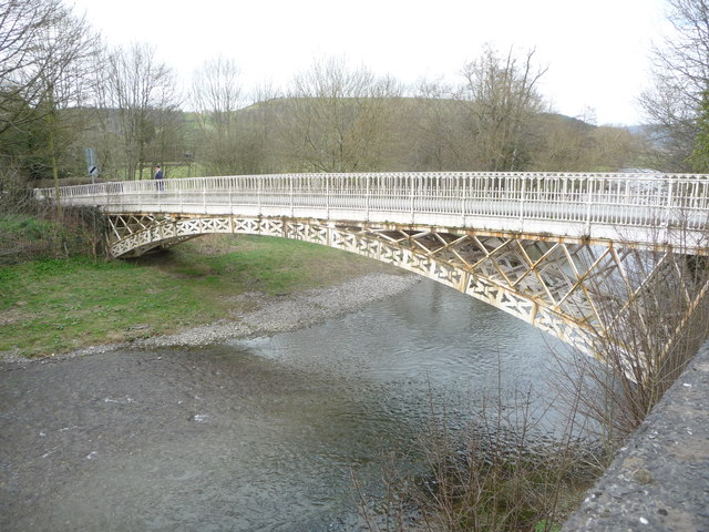
Llandinam Bridge

Llandinam Bridge (Welsh: Pont Llandinam) is a single-arch cast-iron Grade II*-listed bridge located in Llandinam, Powys, Wales. Constructed in 1846, it...

Nearby Amenities

Located within 500m of 52.493784,-3.4565181
Place: farm
Lat/Long: 52.4919228/-3.4507321
Place: farm
Lat/Long: 52.4904465/-3.4570406
The data included in this document is from www.openstreetmap.org. The data is made available under ODbL.

Have you been to Middle Gwerneirin Wood?

Leave your review of Middle Gwerneirin Wood below (or comments, questions and feedback).