Coed Cefncarnedd

Wood, Forest in Montgomeryshire

Wales

Coed Cefncarnedd

The road to Caersws Melin-y-gloch - an old lead-mining area -  is visible in the distance.
The road to Caersws Credit: John Lucas

Coed Cefncarnedd is a picturesque woodland located in Montgomeryshire, Wales. Situated in the heart of the county, the forest covers an expansive area of approximately 500 acres, making it an ideal destination for nature enthusiasts and outdoor enthusiasts.

The woodland is characterized by its diverse range of tree species, including oak, birch, beech, and pine. These towering trees create a dense canopy, offering a cool and shaded environment even on the hottest summer days. The forest floor is adorned with a vibrant carpet of wildflowers, adding to the overall beauty of the landscape.

Coed Cefncarnedd is home to a variety of wildlife, making it a haven for animal lovers and birdwatchers. Visitors may be fortunate enough to spot deer, foxes, badgers, and a plethora of bird species, including woodpeckers, owls, and various songbirds.

For those seeking outdoor activities, the woodland offers a network of well-maintained walking trails that meander through the forest, allowing visitors to explore the area at their own pace. These trails are suitable for individuals of all ages and fitness levels, making it a perfect destination for families and nature enthusiasts alike.

In addition to its natural beauty, Coed Cefncarnedd also boasts a picnic area, where visitors can relax and enjoy a meal amidst the tranquil surroundings. The forest is easily accessible by road and has ample parking available.

Overall, Coed Cefncarnedd is a true gem in Montgomeryshire, offering visitors a chance to immerse themselves in the beauty of nature and experience the tranquility of a forest setting.

If you have any feedback on the listing, please let us know in the comments section below.

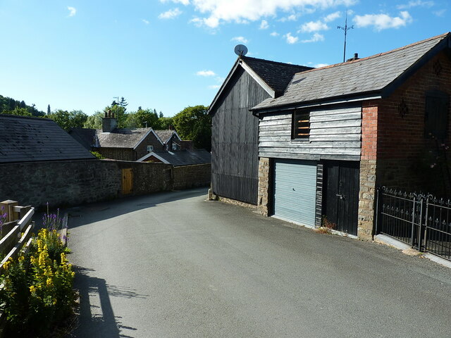
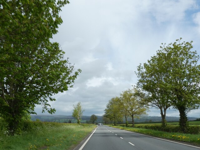
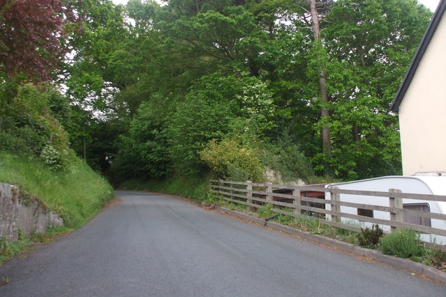
Coed Cefncarnedd Images

Images are sourced within 2km of 52.495802/-3.4583525 or Grid Reference SO0189. Thanks to Geograph Open Source API. All images are credited.

The road to Caersws Melin-y-gloch - an old lead-mining area -  is visible in the distance.
The road to Caersws
Melin-y-gloch - an old lead-mining area - is visible in the distance.
Llandinam village - just east of the main road
Llandinam Institute and hall Built around 1905-1910, and consisting of a library and meeting rooms, the Institute was Grade II listed in 1996. It is noted for illustrating the beneficence of the local Davies family of Plâs Dinam towards their village, the house being half a mile or so further north.
Llandinam Institute and hall
Built around 1905-1910, and consisting of a library and meeting rooms, the Institute was Grade II listed in 1996. It is noted for illustrating the beneficence of the local Davies family of Plâs Dinam towards their village, the house being half a mile or so further north.
OS Flush Bracket 11673 - Llandinam Found on the roadside wall just north of <a href="https://www.geograph.org.uk/photo/2987313">SO0288 : The Lion Hotel - Llandinam</a> (which is currently closed and awaiting new ownership in 2022), the flush bracket was last levelled in 1971 at 137.023m above Ordnance Datum Newlyn.
OS Flush Bracket 11673 - Llandinam
Found on the roadside wall just north of SO0288 : The Lion Hotel - Llandinam (which is currently closed and awaiting new ownership in 2022), the flush bracket was last levelled in 1971 at 137.023m above Ordnance Datum Newlyn.
Llandinam Bridge Built in 1846 to the design of the Montgomeryshire County Surveyor Thomas Penson, but very much in the style of a number of cast iron bridges by the famous engineer Thomas Telford. It was cast at an ironworks at Hawarden in North Wales, which had bought some of Telford's castings by that stage. It was Grade II* listed <span class="nowrap"><a title="https://britishlistedbuildings.co.uk/300015653-llandinam-bridge-llandinam#.Yt11OnbMLIU" rel="nofollow ugc noopener" href="https://britishlistedbuildings.co.uk/300015653-llandinam-bridge-llandinam#.Yt11OnbMLIU">Link</a><img style="margin-left:2px;" alt="External link" title="External link - shift click to open in new window" src="https://s1.geograph.org.uk/img/external.png" width="10" height="10"/></span> in 1994. The railings at the western end still have the <a href="https://www.geograph.org.uk/photo/7236920">SO0288 : Council axle weight restriction on Llandinam Bridge</a> sign dated 1906, limiting motor cars to 3 tons per axle.
Llandinam Bridge
Built in 1846 to the design of the Montgomeryshire County Surveyor Thomas Penson, but very much in the style of a number of cast iron bridges by the famous engineer Thomas Telford. It was cast at an ironworks at Hawarden in North Wales, which had bought some of Telford's castings by that stage. It was Grade II* listed LinkExternal link in 1994. The railings at the western end still have the SO0288 : Council axle weight restriction on Llandinam Bridge sign dated 1906, limiting motor cars to 3 tons per axle.
Council axle weight restriction on Llandinam Bridge Dated 1906 by Montgomeryshire CC, the cast iron sign states that "This bridge is insufficient[ly strong] to carry heavy motor cars" where the registered axle weight of any axle exceeds three tons. It forms part of the bridge's Grade II* listing <span class="nowrap"><a title="https://britishlistedbuildings.co.uk/300015653-llandinam-bridge-llandinam#.Yt14XnbMLIU" rel="nofollow ugc noopener" href="https://britishlistedbuildings.co.uk/300015653-llandinam-bridge-llandinam#.Yt14XnbMLIU">Link</a><img style="margin-left:2px;" alt="External link" title="External link - shift click to open in new window" src="https://s1.geograph.org.uk/img/external.png" width="10" height="10"/></span>
Council axle weight restriction on Llandinam Bridge
Dated 1906 by Montgomeryshire CC, the cast iron sign states that "This bridge is insufficient[ly strong] to carry heavy motor cars" where the registered axle weight of any axle exceeds three tons. It forms part of the bridge's Grade II* listing LinkExternal link
A470 near Plas Dinam Country House
A470 at Llandinam village
David Davies statue, Llandinam A description of the man and his achievements is at <a href="https://www.geograph.org.uk/photo/1389130">SO0288 : David Davies statue beside the A470</a>
David Davies statue, Llandinam
A description of the man and his achievements is at SO0288 : David Davies statue beside the A470
A470 north of Llandinam
A flat landscape, A470 north of Llandinam
War memorial at Llandinam
Unknown lane, Llandinam Only ended up here because I needed somewhere to turn around the car.
Unknown lane, Llandinam
Only ended up here because I needed somewhere to turn around the car.
View over the broad valley of the Afon Trannon Seen from near Red House Farm.
View over the broad valley of the Afon Trannon
Seen from near Red House Farm.
Llandinam Bridge
Llandinam Bridge
Entering Llandinam on A470 southbound
The Lion Hotel, Llandinam I love the wall hoarding stating that they serve 'homely Montgomeryshire fayre' - an inducement to enter if ever one was needed.

Pubs should make the most of their regional produce, traditions and dishes pertaining to their home turf, however homely. How can homely ever be a bad thing?
The Lion Hotel, Llandinam
I love the wall hoarding stating that they serve 'homely Montgomeryshire fayre' - an inducement to enter if ever one was needed. Pubs should make the most of their regional produce, traditions and dishes pertaining to their home turf, however homely. How can homely ever be a bad thing?
Llandinam Bridge This bridge was the first cast iron bridge constructed in the county and was designed by Thomas Penson and built by David Davies, the industrialist and Liberal politician. It spans 90 feet (27.5 m).
Llandinam Bridge
This bridge was the first cast iron bridge constructed in the county and was designed by Thomas Penson and built by David Davies, the industrialist and Liberal politician. It spans 90 feet (27.5 m).
Show me another place!

Coed Cefncarnedd is located at Grid Ref: SO0189 (Lat: 52.495802, Lng: -3.4583525)

Unitary Authority: Powys

Police Authority: Dyfed Powys

What 3 Words

///womanly.polar.orders. Near Mochdre, Powys

Related Wikis

Cefn Carnedd

Cefn Carnedd is an Iron Age hillfort, about 1.5 miles (2 km) south-west of Caersws, in Powys, Wales. It is a scheduled monument.It is on a hill overlooking...

Broneirion

Broneirion is a Victorian house and grounds on the hillside across the River Severn from the village of Llandinam. It was built by Welsh industrialist...

Llandinam railway station

Llandinam railway station was a station serving Llandinam, Powys, on the Llanidloes and Newtown Railway (L&NR) line. The L&NR was authorised in August...
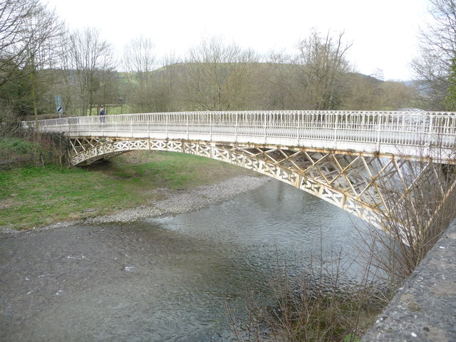
Llandinam Bridge

Llandinam Bridge (Welsh: Pont Llandinam) is a single-arch cast-iron Grade II*-listed bridge located in Llandinam, Powys, Wales. Constructed in 1846, it...

Penystrywad

Penystrywad is a village near Llandinam in Powys, central Wales, between Newtown and Llanidloes, located on the A470.

Llandinam

Llandinam () is a village and community in Montgomeryshire, Powys, central Wales, between Newtown and Llanidloes, located on the A470. As a community,...

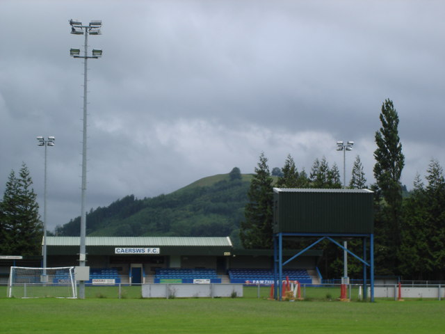
Recreation Ground, Caersws

Recreation Ground is a multi-use stadium in Caersws, Wales. It is currently used mostly for football matches and is the home ground of Caersws F.C. The...

Caersws railway station

Caersws railway station is on the Cambrian Line in mid-Wales, serving the village of Caersws. It is notable in that there are 22 miles (35 km) separating...

Have you been to Coed Cefncarnedd?

Leave your review of Coed Cefncarnedd below (or comments, questions and feedback).