Cefn Carnedd

Heritage Site in Montgomeryshire

Wales

Cefn Carnedd

The road to Caersws Melin-y-gloch - an old lead-mining area -  is visible in the distance.
The road to Caersws Credit: John Lucas

Cefn Carnedd, located in Montgomeryshire, Wales, is a heritage site of significant historical and cultural importance. Situated on the western edge of the Berwyn Mountains, this site encompasses an ancient hillfort and a series of Bronze Age burial mounds.

The hillfort at Cefn Carnedd is believed to have been constructed around 2000 years ago during the Iron Age. It occupies a prominent position on the summit of a hill, providing strategic advantages for its inhabitants. The fortification consists of multiple concentric earthworks and ditches, designed to defend the settlement against potential threats.

Within the hillfort, there are also several burial mounds dating back to the Bronze Age, which serve as evidence of earlier human activity in the area. These mounds, known as round barrows, are circular in shape and were used as burial sites for important individuals during that period.

The site at Cefn Carnedd offers a unique insight into the lives of our ancient ancestors. Excavations and research have revealed various artifacts, including pottery, tools, and animal bones, shedding light on the daily activities, trade networks, and religious practices of the people who once inhabited this site.

Cefn Carnedd is of immense historical significance, highlighting the rich cultural heritage of Montgomeryshire. It serves as a valuable resource for archaeologists, historians, and the general public, providing a glimpse into the past and helping to build a better understanding of our shared history.

If you have any feedback on the listing, please let us know in the comments section below.
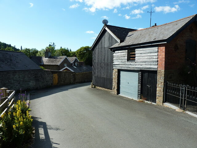
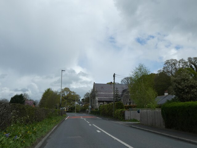
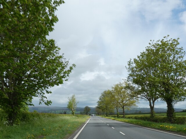
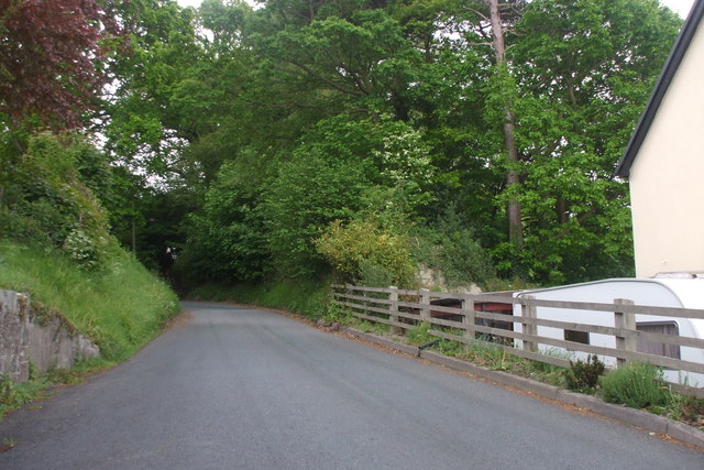
Cefn Carnedd Images

Images are sourced within 2km of 52.493/-3.45 or Grid Reference SO0189. Thanks to Geograph Open Source API. All images are credited.

The road to Caersws Melin-y-gloch - an old lead-mining area -  is visible in the distance.
The road to Caersws
Melin-y-gloch - an old lead-mining area - is visible in the distance.
Llandinam village - just east of the main road
Llandinam Institute and hall Built around 1905-1910, and consisting of a library and meeting rooms, the Institute was Grade II listed in 1996. It is noted for illustrating the beneficence of the local Davies family of Plâs Dinam towards their village, the house being half a mile or so further north.
Llandinam Institute and hall
Built around 1905-1910, and consisting of a library and meeting rooms, the Institute was Grade II listed in 1996. It is noted for illustrating the beneficence of the local Davies family of Plâs Dinam towards their village, the house being half a mile or so further north.
OS Flush Bracket 11673 - Llandinam Found on the roadside wall just north of <a href="https://www.geograph.org.uk/photo/2987313">SO0288 : The Lion Hotel - Llandinam</a> (which is currently closed and awaiting new ownership in 2022), the flush bracket was last levelled in 1971 at 137.023m above Ordnance Datum Newlyn.
OS Flush Bracket 11673 - Llandinam
Found on the roadside wall just north of SO0288 : The Lion Hotel - Llandinam (which is currently closed and awaiting new ownership in 2022), the flush bracket was last levelled in 1971 at 137.023m above Ordnance Datum Newlyn.
Llandinam Bridge Built in 1846 to the design of the Montgomeryshire County Surveyor Thomas Penson, but very much in the style of a number of cast iron bridges by the famous engineer Thomas Telford. It was cast at an ironworks at Hawarden in North Wales, which had bought some of Telford's castings by that stage. It was Grade II* listed <span class="nowrap"><a title="https://britishlistedbuildings.co.uk/300015653-llandinam-bridge-llandinam#.Yt11OnbMLIU" rel="nofollow ugc noopener" href="https://britishlistedbuildings.co.uk/300015653-llandinam-bridge-llandinam#.Yt11OnbMLIU">Link</a><img style="margin-left:2px;" alt="External link" title="External link - shift click to open in new window" src="https://s1.geograph.org.uk/img/external.png" width="10" height="10"/></span> in 1994. The railings at the western end still have the <a href="https://www.geograph.org.uk/photo/7236920">SO0288 : Council axle weight restriction on Llandinam Bridge</a> sign dated 1906, limiting motor cars to 3 tons per axle.
Llandinam Bridge
Built in 1846 to the design of the Montgomeryshire County Surveyor Thomas Penson, but very much in the style of a number of cast iron bridges by the famous engineer Thomas Telford. It was cast at an ironworks at Hawarden in North Wales, which had bought some of Telford's castings by that stage. It was Grade II* listed LinkExternal link in 1994. The railings at the western end still have the SO0288 : Council axle weight restriction on Llandinam Bridge sign dated 1906, limiting motor cars to 3 tons per axle.
Council axle weight restriction on Llandinam Bridge Dated 1906 by Montgomeryshire CC, the cast iron sign states that "This bridge is insufficient[ly strong] to carry heavy motor cars" where the registered axle weight of any axle exceeds three tons. It forms part of the bridge's Grade II* listing <span class="nowrap"><a title="https://britishlistedbuildings.co.uk/300015653-llandinam-bridge-llandinam#.Yt14XnbMLIU" rel="nofollow ugc noopener" href="https://britishlistedbuildings.co.uk/300015653-llandinam-bridge-llandinam#.Yt14XnbMLIU">Link</a><img style="margin-left:2px;" alt="External link" title="External link - shift click to open in new window" src="https://s1.geograph.org.uk/img/external.png" width="10" height="10"/></span>
Council axle weight restriction on Llandinam Bridge
Dated 1906 by Montgomeryshire CC, the cast iron sign states that "This bridge is insufficient[ly strong] to carry heavy motor cars" where the registered axle weight of any axle exceeds three tons. It forms part of the bridge's Grade II* listing LinkExternal link
A470 near Plas Dinam Country House
A470 at Llandinam village
A470 at Tyncoed
A470 at Tyncoed
Woodland by A470 south of Tyncoed
A470 and the chapel at Llandinam
David Davies statue, Llandinam A description of the man and his achievements is at <a href="https://www.geograph.org.uk/photo/1389130">SO0288 : David Davies statue beside the A470</a>
David Davies statue, Llandinam
A description of the man and his achievements is at SO0288 : David Davies statue beside the A470
A470 north of Llandinam
A flat landscape, A470 north of Llandinam
War memorial at Llandinam
Llandinam Presbyterian Church
Unknown lane, Llandinam Only ended up here because I needed somewhere to turn around the car.
Unknown lane, Llandinam
Only ended up here because I needed somewhere to turn around the car.
Llandinam Bridge
Llandinam Bridge
Show me another place!

Cefn Carnedd is located at Grid Ref: SO0189 (Lat: 52.493, Lng: -3.45)

Unitary Authority: Powys

Police Authority: Dyfed Powys

What 3 Words

///froth.airstrip.island. Near Mochdre, Powys

Related Wikis

Broneirion

Broneirion is a Victorian house and grounds on the hillside across the River Severn from the village of Llandinam. It was built by Welsh industrialist...

Cefn Carnedd

Cefn Carnedd is an Iron Age hillfort, about 1.5 miles (2 km) south-west of Caersws, in Powys, Wales. It is a scheduled monument.It is on a hill overlooking...

Llandinam railway station

Llandinam railway station was a station serving Llandinam, Powys, on the Llanidloes and Newtown Railway (L&NR) line. The L&NR was authorised in August...
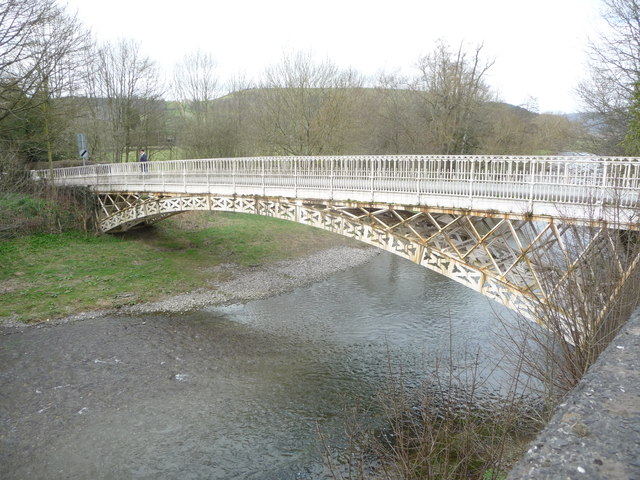
Llandinam Bridge

Llandinam Bridge (Welsh: Pont Llandinam) is a single-arch cast-iron Grade II*-listed bridge located in Llandinam, Powys, Wales. Constructed in 1846, it...

Nearby Amenities

Located within 500m of 52.493,-3.45
Bench
Lat/Long: 52.491927/-3.443303
Building: yes
Lat/Long: 52.4915439/-3.4456466
Place: farm
Lat/Long: 52.4902897/-3.4464191
Place: farm
Lat/Long: 52.4919228/-3.4507321
The data included in this document is from www.openstreetmap.org. The data is made available under ODbL.

Have you been to Cefn Carnedd ?

Leave your review of Cefn Carnedd below (or comments, questions and feedback).