Allostock

Settlement in Cheshire

England

Allostock

Island on Shakerley Mere A former sand quarry, now a small park. It can be noisy here due to the closeness of the M6 motorway, but the level path around the lake is very popular with visitors.
Island on Shakerley Mere Credit: David Kitching

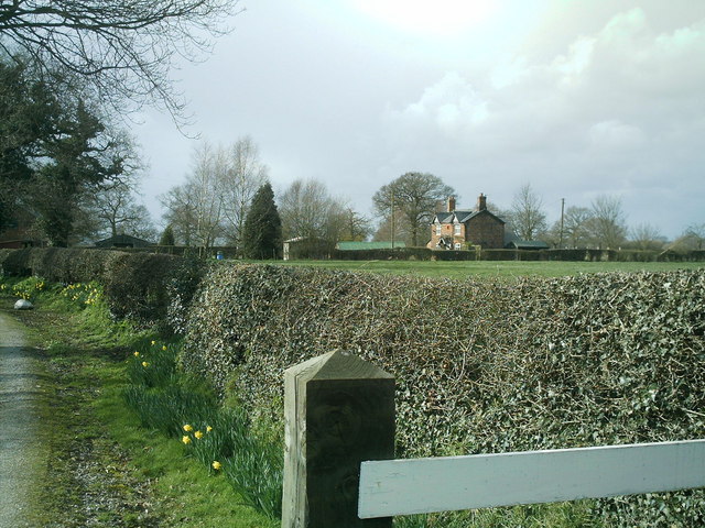
Allostock is a small village located in the county of Cheshire, England. Situated approximately four miles southwest of the market town of Knutsford, it falls within the Cheshire West and Chester local government district. With a population of around 500 residents, Allostock boasts a tight-knit and friendly community.

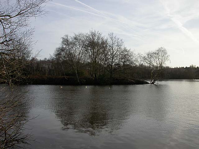
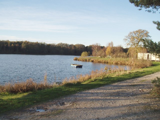
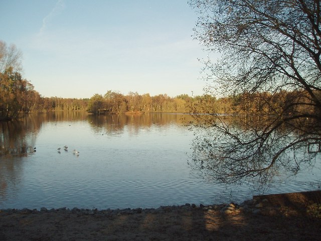
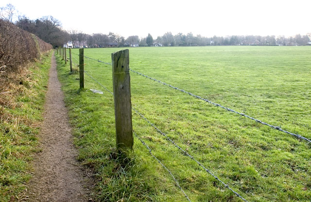
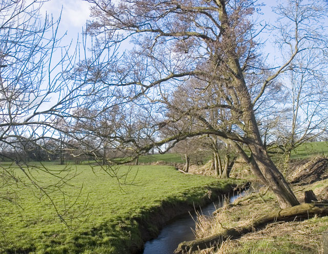
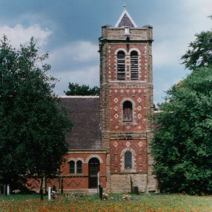
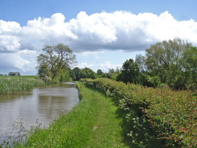
The village is surrounded by picturesque countryside, offering breathtaking views and plenty of opportunities for outdoor activities. The nearby Dane River and the Trent and Mersey Canal provide scenic walking routes, attracting nature enthusiasts and hikers. Allostock is also known for its well-preserved historic buildings, including St. John the Evangelist Church, which dates back to the 19th century.

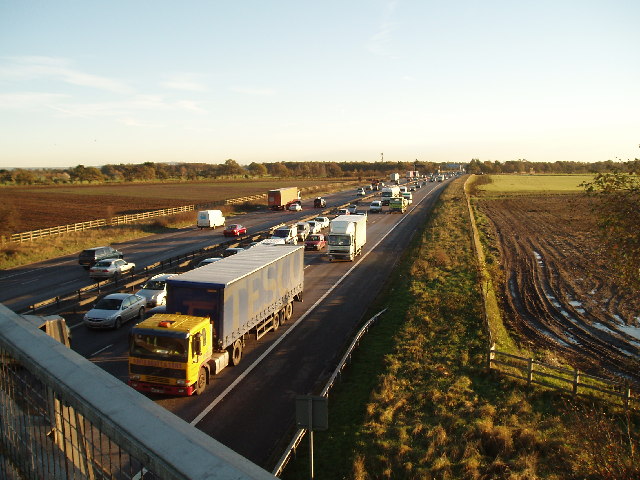
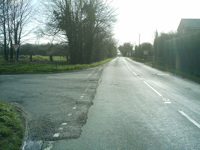
Although small in size, Allostock benefits from its close proximity to larger towns and cities. The neighboring town of Knutsford provides a range of amenities, including supermarkets, shops, and restaurants, ensuring that residents have easy access to all necessary services. Additionally, the village has good transportation links, with the A50 road passing nearby, connecting it to major towns and cities in the region.

In terms of community facilities, Allostock has a village hall that hosts various events and gatherings throughout the year. The village also has a primary school, providing education for children up to the age of 11. For further amenities, residents can visit nearby towns or venture slightly further afield to explore the attractions and amenities of Cheshire.

Overall, Allostock offers a peaceful and idyllic countryside living experience while still providing convenient access to essential services and nearby urban areas.

If you have any feedback on the listing, please let us know in the comments section below.
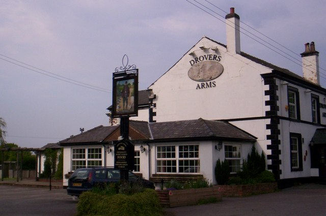
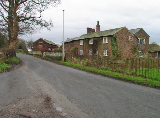
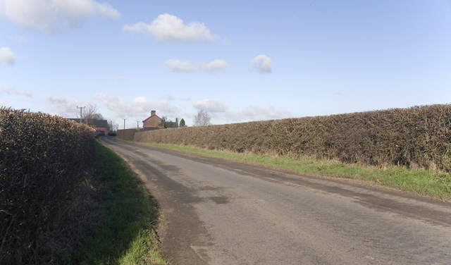
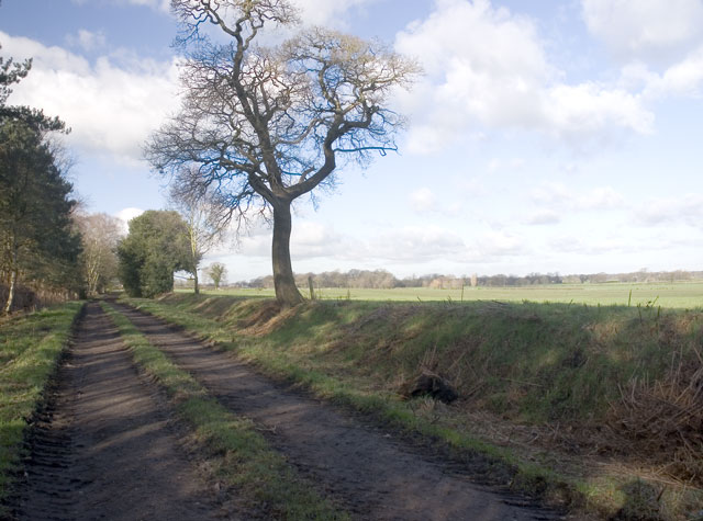
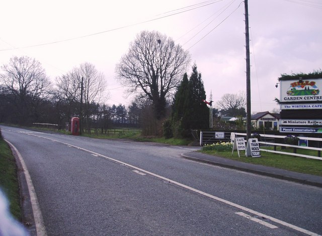
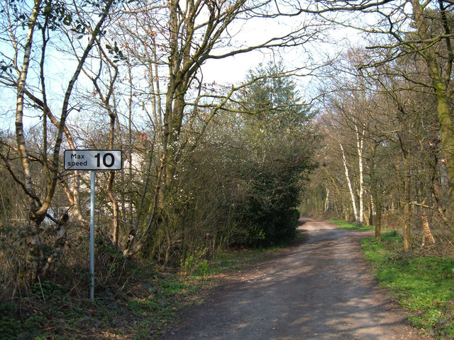
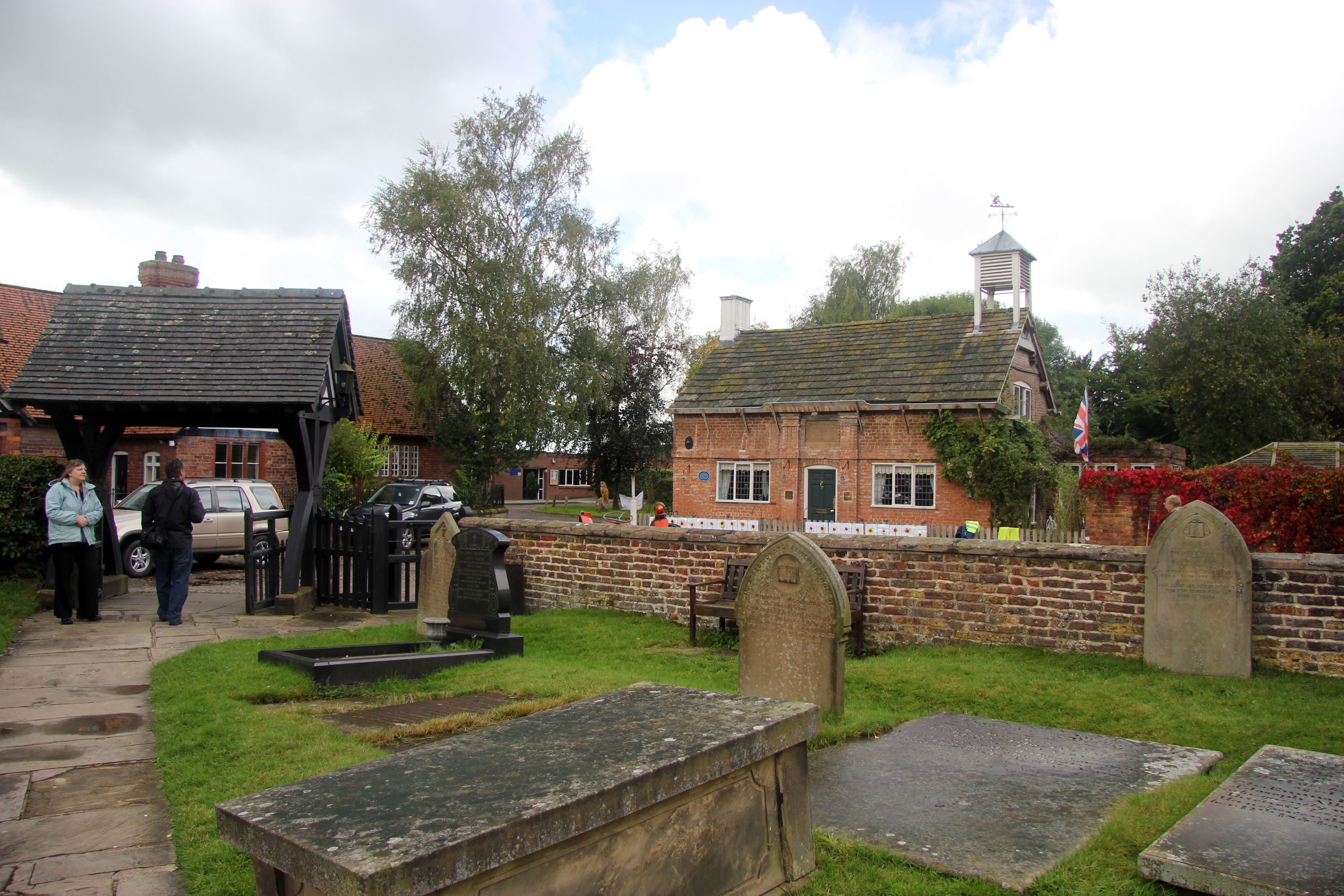
Allostock Images

Images are sourced within 2km of 53.23683/-2.386479 or Grid Reference SJ7471. Thanks to Geograph Open Source API. All images are credited.

Island on Shakerley Mere A former sand quarry, now a small park. It can be noisy here due to the closeness of the M6 motorway, but the level path around the lake is very popular with visitors.
Island on Shakerley Mere
A former sand quarry, now a small park. It can be noisy here due to the closeness of the M6 motorway, but the level path around the lake is very popular with visitors.
Boundary  Water Park On the A50 just south of Allostock . Once a popular windsurfing centre but now only used by anglers
Boundary Water Park
On the A50 just south of Allostock . Once a popular windsurfing centre but now only used by anglers
South End of Shakerley Mere Near to cross roads of B5082 & B5081 .
South End of Shakerley Mere
Near to cross roads of B5082 & B5081 .
M6 from King's Lane, looking north Always busy especially on Friday evening!! 
(Bridge in distance carries the B5081)
M6 from King's Lane, looking north
Always busy especially on Friday evening!! (Bridge in distance carries the B5081)
M6 from King's Lane looking south
Road Junction Junction of Baker's Lane (foreground) and Middlewich road (B5081).
Road Junction
Junction of Baker's Lane (foreground) and Middlewich road (B5081).
The Three Greyhounds Public House Situated on the crossroads of the B5081 & B5082 (Difficult to tell which Grid square, on one map its SJ7271 & another SJ7270 !!)
The Three Greyhounds Public House
Situated on the crossroads of the B5081 & B5082 (Difficult to tell which Grid square, on one map its SJ7271 & another SJ7270 !!)
Road Junction Junction of Heath Lane,(Ahead) Sandy Lane, (To left)& Townfield Lane (Behind)
Road Junction
Junction of Heath Lane,(Ahead) Sandy Lane, (To left)& Townfield Lane (Behind)
Drovers Arms, Allostock
Townfield Farm Townfield Farm, Townfield Lane near Allostock. One of many simple, but attractive farms built from red Cheshire bricks.
Townfield Farm
Townfield Farm, Townfield Lane near Allostock. One of many simple, but attractive farms built from red Cheshire bricks.
Road to Boots Green Taken at the junction of Brick Bank Lane and Booth Bank Lane, of which this is a picture. The building on the horizon is Boothbed Farm.
Road to Boots Green
Taken at the junction of Brick Bank Lane and Booth Bank Lane, of which this is a picture. The building on the horizon is Boothbed Farm.
Hales Pasture Taken on the public footpath with a field known as Hales Pasture to the right of the image and to the left, out of view and surrounded by private woodlands, is a small lake.
Hales Pasture
Taken on the public footpath with a field known as Hales Pasture to the right of the image and to the left, out of view and surrounded by private woodlands, is a small lake.
Footpath towards Goostrey Taken from Brick Back Lane. A local told me, as I was taking this picture, that there used to be a brick kiln nearby which was used to make the bricks which built the houses in the area, including an 18th century cottage out of view but just behind where the image was taken.
Footpath towards Goostrey
Taken from Brick Back Lane. A local told me, as I was taking this picture, that there used to be a brick kiln nearby which was used to make the bricks which built the houses in the area, including an 18th century cottage out of view but just behind where the image was taken.
River scene Taken on the bridge carrying the road from Goostrey to Boots Green
River scene
Taken on the bridge carrying the road from Goostrey to Boots Green
Stublach House, off  Byley  Lane , nr Shakerley Mere. Photo of Stublach House, the local area around this house is largely farmland, it is close to Shakerley Mere, a large lake next to the M6.
Stublach House, off Byley Lane , nr Shakerley Mere.
Photo of Stublach House, the local area around this house is largely farmland, it is close to Shakerley Mere, a large lake next to the M6.
B5081 Byley Lane, nr Shakerley Mere Photo of Byley Lane junction of King's lane, nr Shakerley Mere. The camera is pointed towards Byley & Middlewich, King's lane is the left turn, Stublach House, Stublach Farm and Earnshaw Farm are a short way down the lane on the right of the photo.
B5081 Byley Lane, nr Shakerley Mere
Photo of Byley Lane junction of King's lane, nr Shakerley Mere. The camera is pointed towards Byley & Middlewich, King's lane is the left turn, Stublach House, Stublach Farm and Earnshaw Farm are a short way down the lane on the right of the photo.
Telephone Box and Garden Centre, Allostock Cheshire The telephone box in the village of Allostock appears to be a major feature on the O.S. map, whilst in reality, the garden centre catches the eye of the passing motorist.
Telephone Box and Garden Centre, Allostock Cheshire
The telephone box in the village of Allostock appears to be a major feature on the O.S. map, whilst in reality, the garden centre catches the eye of the passing motorist.
Byway across Warrington Common This short section of byway (about 300 metres in length) links King's Lane with Northwich Road to the south of Rudheath Woods.
Byway across Warrington Common
This short section of byway (about 300 metres in length) links King's Lane with Northwich Road to the south of Rudheath Woods.
Show me another place!

Allostock is located at Grid Ref: SJ7471 (Lat: 53.23683, Lng: -2.386479)

Unitary Authority: Cheshire West and Chester

Police Authority: Cheshire

What 3 Words

///jolt.rotation.subject. Near Peover Superior, Cheshire

Related Wikis

Allostock

Allostock is a village and civil parish in the unitary authority of Cheshire West and Chester and the ceremonial county of Cheshire, England, about five...

Shakerley Mere

Shakerley Mere is a lake and recreation area near Allostock, Cheshire, England. The mere is a former sand quarry, which flooded after extraction ended...

RAF Cranage

Royal Air Force Cranage or more simply RAF Cranage is a former Royal Air Force Satellite station operated during the Second World War. It was located just...

Hulme Hall, Allostock

Hulme Hall is a house on a moated site in the parish of Allostock, Cheshire, England. It originated in the 15th century, with additions and alterations...

Peover Inferior

Peover Inferior is a civil parish in the Borough of Cheshire East and the ceremonial county of Cheshire, England. The village is known for its picturesque...

St John the Evangelist's Church, Byley

St John the Evangelist's Church is in the small village of Byley, Cheshire, England. It is recorded in the National Heritage List for England as a designated...

Cranage

Cranage is a village and civil parish in the unitary authority of Cheshire East and the ceremonial county of Cheshire, England. According to the 2001 Official...

Byley

Byley is a village and civil parish in the unitary authority of Cheshire West and Chester and the ceremonial county of Cheshire, England, about 2+1⁄2 miles...

Nearby Amenities

Located within 500m of 53.23683,-2.386479
Allostock
Place: village
Lat/Long: 53.2374452/-2.3848769
Bus Stop
Allostock, Chapel Lane / Princess Road
Bus: yes
Naptan AtcoCode: 0610VR324
Naptan Bearing: NW
Naptan CommonName: Princess Road
Naptan Crossing: Princess Road
Naptan Indicator: cnr
Naptan Landmark: House number 7
Naptan LocalityName: Allostock
Naptan NaptanCode: chwdajt
Naptan ShortCommonName: Princess Road
Naptan Street: Chapel Lane
Naptan Verified: no
Public Transport: platform
Source: naptan_import
Lat/Long: 53.2376244/-2.3836969
Bus Stop
Allostock, Chapel Lane / Princess Road
Bus: yes
Naptan AtcoCode: 0610VR325
Naptan Bearing: SE
Naptan BusStopType: CUS
Naptan CommonName: Princess Road
Naptan Crossing: Princess Road
Naptan Indicator: opp
Naptan Landmark: House number 10
Naptan LocalityName: Allostock
Naptan NaptanCode: chwdajw
Naptan ShortCommonName: Princess Road
Naptan Street: Chapel Lane
Naptan Verified: no
Public Transport: platform
Source: naptan_import
Lat/Long: 53.2377608/-2.3836616
Disused Railway: station
Station: miniature
Usage: tourism
Lat/Long: 53.2356291/-2.3839364
Post Box
Collection Times: Mo-Fr 16:00; Sa 10:00
Ref: WA16 89
Lat/Long: 53.2357835/-2.3877074
Post Box
Collection Times: Mo-Fr 16:00; Sa 09:30
Operator: Royal Mail
Operator Wikidata: Q638098
Post Box Type: lamp
Ref: WA16 31
Royal Cypher: EIIR
Lat/Long: 53.2377138/-2.3837819
Generator Method: photovoltaic
Generator Output Electricity: yes
Generator Source: solar
Generator Type: solar_photovoltaic_panel
Location: roof
Power: generator
Lat/Long: 53.2373341/-2.3841326
Generator Method: photovoltaic
Generator Output Electricity: yes
Generator Source: solar
Generator Type: solar_photovoltaic_panel
Location: roof
Power: generator
Lat/Long: 53.2371552/-2.3839299
Generator Method: photovoltaic
Generator Output Electricity: yes
Generator Source: solar
Generator Type: solar_photovoltaic_panel
Location: roof
Power: generator
Lat/Long: 53.2376832/-2.3839843
Generator Method: photovoltaic
Generator Output Electricity: yes
Generator Source: solar
Generator Type: solar_photovoltaic_panel
Location: roof
Power: generator
Lat/Long: 53.2375801/-2.3838405
The data included in this document is from www.openstreetmap.org. The data is made available under ODbL.

Have you been to Allostock?

Leave your review of Allostock below (or comments, questions and feedback).