Coed Hen-blâs

Wood, Forest in Merionethshire

Wales

Coed Hen-blâs

Old Railway Bridge Across the Dee The bridge carried the former railway from Ruabon - Barmouth Junction.
Old Railway Bridge Across the Dee Credit: David Robinson

The requested URL returned error: 429 Too Many Requests

If you have any feedback on the listing, please let us know in the comments section below.

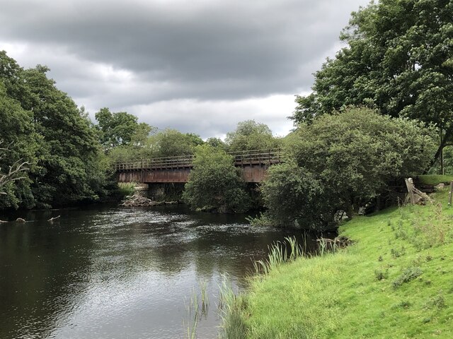
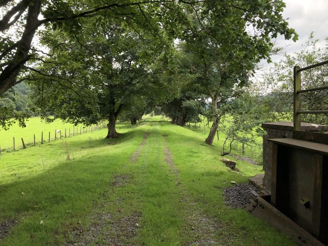
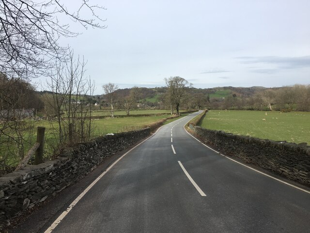
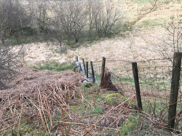
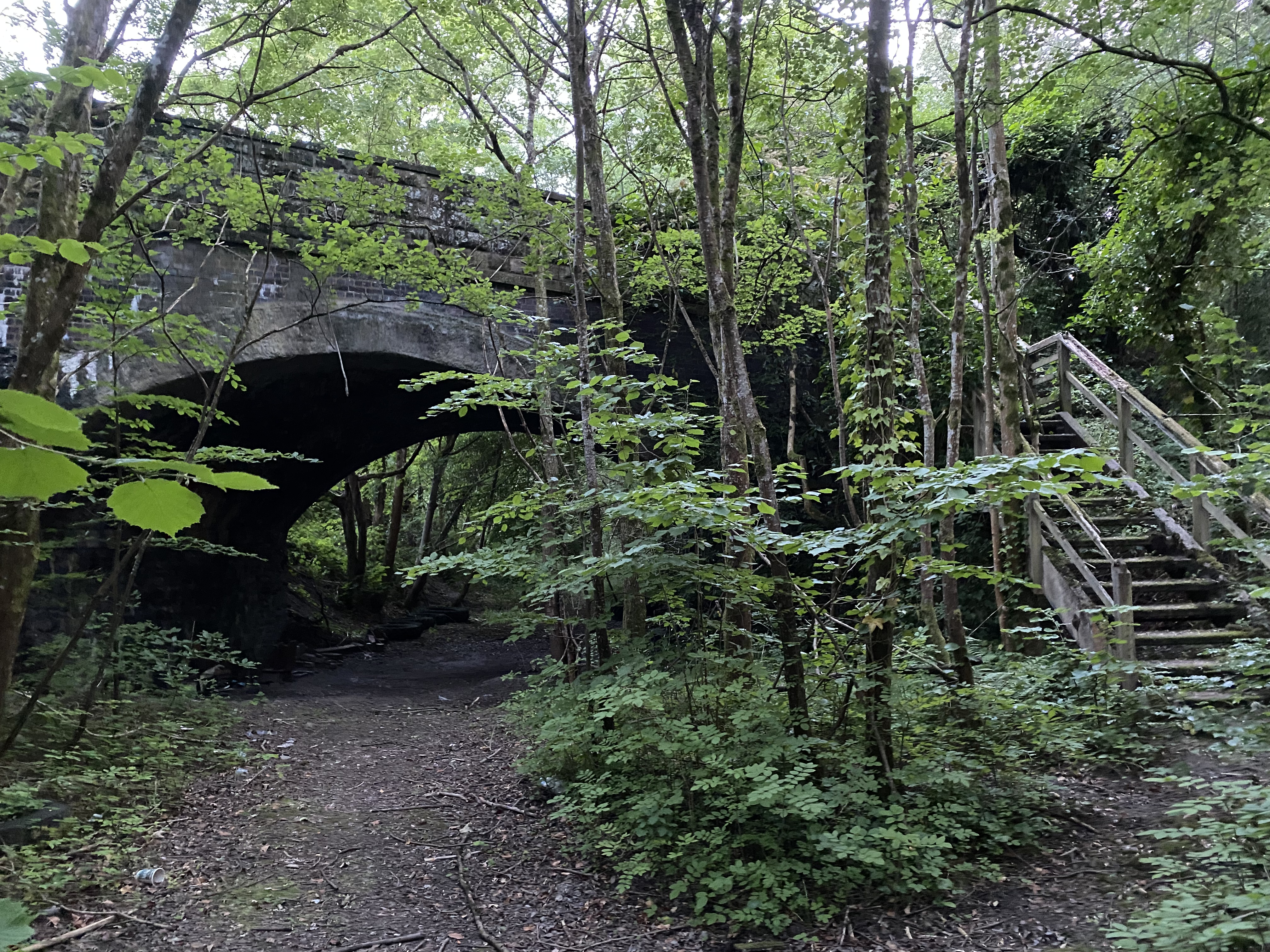
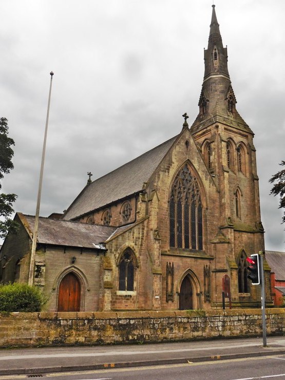
Coed Hen-blâs Images

Images are sourced within 2km of 52.926279/-3.5122943 or Grid Reference SH9837. Thanks to Geograph Open Source API. All images are credited.

Old Railway Bridge Across the Dee The bridge carried the former railway from Ruabon - Barmouth Junction.
Old Railway Bridge Across the Dee
The bridge carried the former railway from Ruabon - Barmouth Junction.
Disused Railway Bridge Across the Dee The former Ruabon - Barmouth line crossing the Dee. Despite over 50 years of closure the bridge remains in good condition and sees some use by farm vehicles.
Disused Railway Bridge Across the Dee
The former Ruabon - Barmouth line crossing the Dee. Despite over 50 years of closure the bridge remains in good condition and sees some use by farm vehicles.
River Dee at Pont Dol-y-gadfa
Green lane (Tegid Way) south of Syrior
View from Bryn-melyn The grounds of Bryn-melyn, a former farm now providing holiday accommodation in converted farm buildings.
View from Bryn-melyn
The grounds of Bryn-melyn, a former farm now providing holiday accommodation in converted farm buildings.
Trackbed of Former Ruabon - Barmouth Railway The railway was closed as part of the Beeching cuts in the mid 1960s.
Trackbed of Former Ruabon - Barmouth Railway
The railway was closed as part of the Beeching cuts in the mid 1960s.
B4401 near Llandderfel
Minor road near Llandderfel
Forestry road in Lily’s Wood
Junction of forestry roads into Lily’s Wood
Minor road near Cefn-Ddwysarn
Fence on stone wall
Fence on stone wall
Minor road near Cefn-Ddwysarn
Lane leading southeast towards Llandderfel
Church Street, Llandderfel
Entering Cefn-ddwysarn
Site of former Llanderfel station View NE down the Upper Dee valley, towards Corwen, Llangollen and Ruabon on the trackbed of the ex-GWR Ruabon - Llangollen - Bala Junction - Dolgellau - Morfa Mawddach line, blocked by flood 14/12/64, officially closed 18/1/65.
Site of former Llanderfel station
View NE down the Upper Dee valley, towards Corwen, Llangollen and Ruabon on the trackbed of the ex-GWR Ruabon - Llangollen - Bala Junction - Dolgellau - Morfa Mawddach line, blocked by flood 14/12/64, officially closed 18/1/65.
Llyn Maes-y-Clawdd, near Llanderfel, 1993 View eastward towards the Berwyn range.
Llyn Maes-y-Clawdd, near Llanderfel, 1993
View eastward towards the Berwyn range.
Show me another place!

Coed Hen-blâs is located at Grid Ref: SH9837 (Lat: 52.926279, Lng: -3.5122943)

Unitary Authority: Gwynedd

Police Authority: North Wales

What 3 Words

///replenish.migrate.police. Near Llandrillo, Denbighshire

Nearby Locations

Coed Hen-blâs Llandderfel

Related Wikis

Llandderfel

Llandderfel is a village and a sparsely populated community in Gwynedd, Wales, near Bala, formerly served by the Llandderfel railway station. The community...

Llandderfel railway station

Llandderfel railway station in Gwynedd, Wales, was a station on the Ruabon to Barmouth line. It closed to passengers ahead of the scheduled closure date...

Cefnddwysarn

Cefnddwysarn () is a small village in Gwynedd, Wales. It is located on the A494 road approximately 3 miles east of the town of Bala and 8 miles west of...

Roman Catholic Diocese of Wrexham

The Diocese of Wrexham, is a Latin Church ecclesiastical territory or diocese of the Catholic Church in Wales. The diocese is a suffragan in the ecclesiastical...

Related Videos

Pale Hall Wales 720p30

Overight stay in Pale Hall, Nr Bala in NW Wales Music; Jane Street - Track Tribe, Strollin' - Track Tribe.

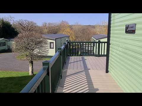
Plot 68 Willerby Brenig

This brand new 2021 Willerby is one not to be missed, whether your looking for an upgrade or looking to start a new life being a ...

Llandderfel, Wales

Mavic2 flight click and.

Pale Hall Lunch

Went to have lunch my parents at Pale Hall Hotel in Bala , never been so was a great place to go . Was a amazing location and ...

Nearby Amenities

Located within 500m of 52.926279,-3.5122943
Barrier: stile
Lat/Long: 52.9240654/-3.5139499
Barrier: stile
Lat/Long: 52.9293486/-3.5126693
Moel y Calch
Ele: 270
Name Cy: Moel y Calch
Natural: peak
Lat/Long: 52.9262726/-3.5108191
Place: farm
Lat/Long: 52.9229257/-3.5076775
Direction: 85
Generator Method: photovoltaic
Generator Output Electricity: yes
Generator Solar Modules: 16
Generator Source: solar
Generator Type: solar_photovoltaic_panel
Location: roof
Power: generator
Lat/Long: 52.9230861/-3.5160662
The data included in this document is from www.openstreetmap.org. The data is made available under ODbL.

Have you been to Coed Hen-blâs?

Leave your review of Coed Hen-blâs below (or comments, questions and feedback).