Bryn-y-castell Wood
Wood, Forest in Montgomeryshire
Wales
Bryn-y-castell Wood

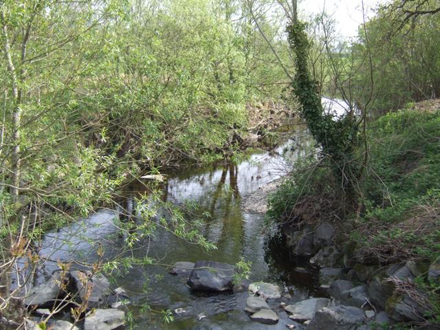
Bryn-y-castell Wood is a picturesque woodland located in the county of Montgomeryshire, Wales. Covering an area of approximately 200 acres, it is a notable natural landmark in the region. The woodland is situated near the village of Abermule, just a few miles south of the town of Newtown.
The wood is predominantly composed of native broadleaf trees, including oak, beech, and birch, which create a dense and diverse canopy. The forest floor is covered in a rich carpet of ferns, mosses, and wildflowers, adding to the enchanting ambiance of the area.
Bryn-y-castell Wood is a haven for wildlife, providing habitat for a wide range of species. Birdwatchers often spot various woodland birds, such as woodpeckers, thrushes, and tawny owls. Additionally, the wood is home to small mammals, including squirrels, badgers, and foxes.
The woodland is crisscrossed by a network of footpaths, allowing visitors to explore its natural beauty. The paths wind through the trees, offering serene and peaceful walks, with occasional glimpses of breathtaking views over the surrounding countryside.
Bryn-y-castell Wood is managed by a local conservation group, ensuring the preservation of its natural environment. The woodland is open to the public throughout the year, attracting nature enthusiasts, walkers, and families seeking a tranquil escape.
Overall, Bryn-y-castell Wood is a stunning woodland retreat, showcasing the beauty of Montgomeryshire's natural landscape. With its ancient trees, diverse wildlife, and peaceful atmosphere, it is a true gem for both locals and visitors to enjoy and appreciate.
If you have any feedback on the listing, please let us know in the comments section below.
Bryn-y-castell Wood Images
Images are sourced within 2km of 52.490289/-3.4973486 or Grid Reference SN9889. Thanks to Geograph Open Source API. All images are credited.


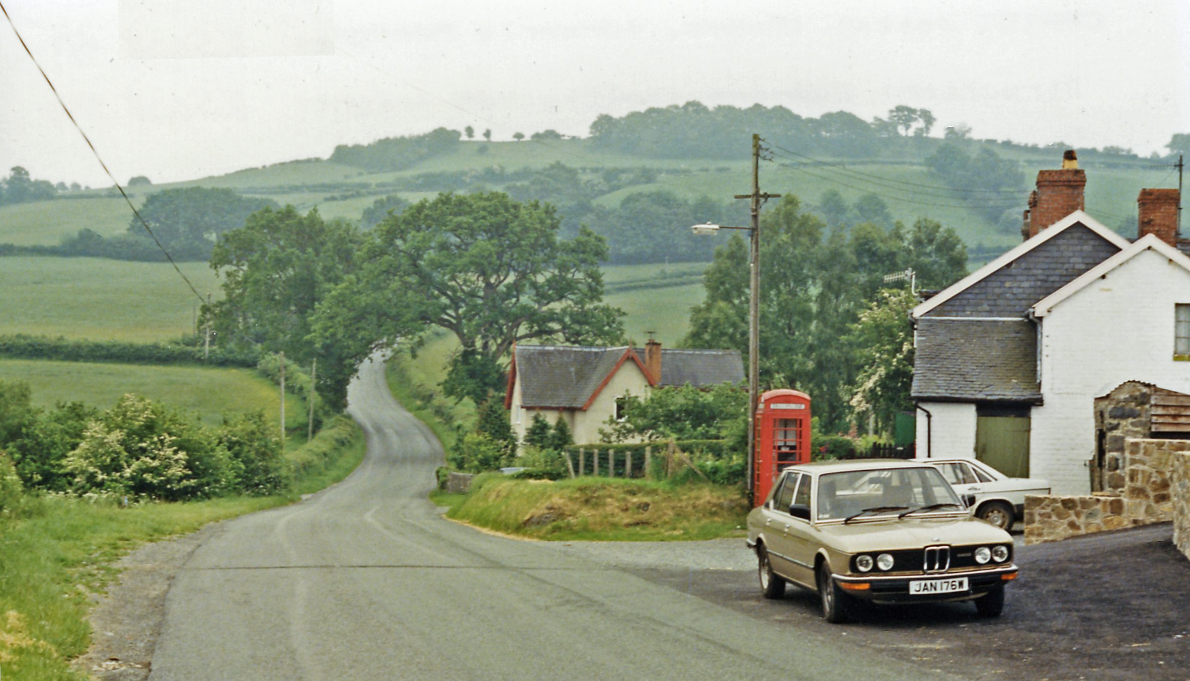
![Fenced and hedge field boundary In the flat valley bottom between [the small] Afon Cerist and [the larger] Afon Trannon.](https://s2.geograph.org.uk/geophotos/05/02/64/5026478_dcab05b5.jpg)


Bryn-y-castell Wood is located at Grid Ref: SN9889 (Lat: 52.490289, Lng: -3.4973486)
Unitary Authority: Powys
Police Authority: Dyfed Powys
What 3 Words
///cyber.mystified.crusaders. Near Llanidloes, Powys
Nearby Locations
Related Wikis

Trefeglwys
Trefeglwys is a village and community in Powys, Wales, within the historic county of Montgomeryshire. The name derives from the Welsh language tref 'township...
Cerist railway station
Cerist railway station served the town of Llanidloes, in the historical county of Montgomeryshire, Wales, from 1873 to 1940 on the Van Railway. == History... ==
Cefn Carnedd
Cefn Carnedd is an Iron Age hillfort, about 1.5 miles (2 km) south-west of Caersws, in Powys, Wales. It is a scheduled monument.It is on a hill overlooking...

Broneirion
Broneirion is a Victorian house and grounds on the hillside across the River Severn from the village of Llandinam. It was built by Welsh industrialist...

Van, Llanidloes
Van (Welsh: Y Fan) is a hamlet in Powys, Mid Wales, located to the north west of Llanidloes. Its name, an anglicisation of the local Welsh placename "Fan...
Garth and Van Road railway station
Garth and Van Road railway station served the village of Garth, in the historical county of Montgomeryshire, Wales, from 1873 to 1940 on the Van Railway...
Dolwen railway station
Dolwen railway station was a station to the southwest of Llandinam, Powys, Wales. The station was opened in 1859 and closed in 1963. The station building...

Llandinam railway station
Llandinam railway station was a station serving Llandinam, Powys, on the Llanidloes and Newtown Railway (L&NR) line. The L&NR was authorised in August...
Have you been to Bryn-y-castell Wood?
Leave your review of Bryn-y-castell Wood below (or comments, questions and feedback).