Allt Ddu
Wood, Forest in Merionethshire
Wales
Allt Ddu
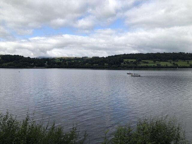
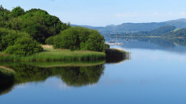
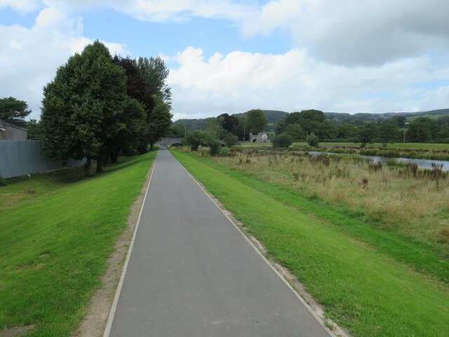
Allt Ddu, located in Merionethshire, is a picturesque wood or forest that spans across a significant area. The name "Allt Ddu" translates to "Black Hill" in English, which is fitting considering the dense and dark foliage that characterizes this natural wonder.
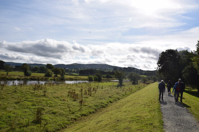
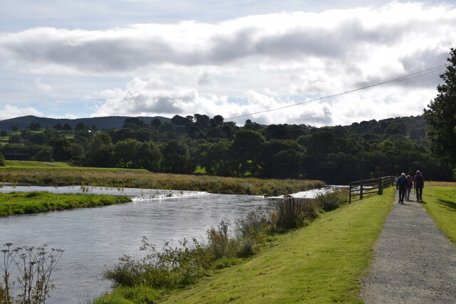
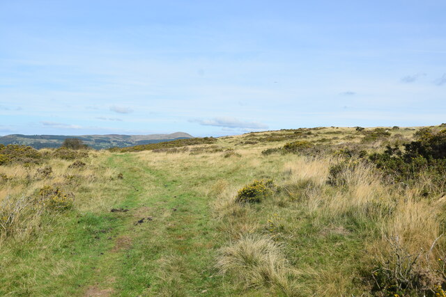
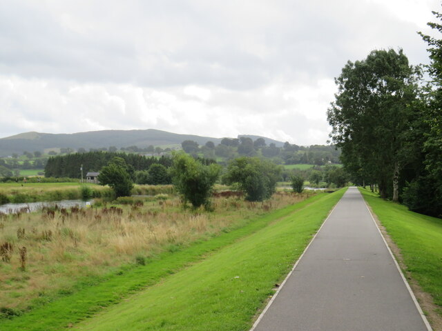
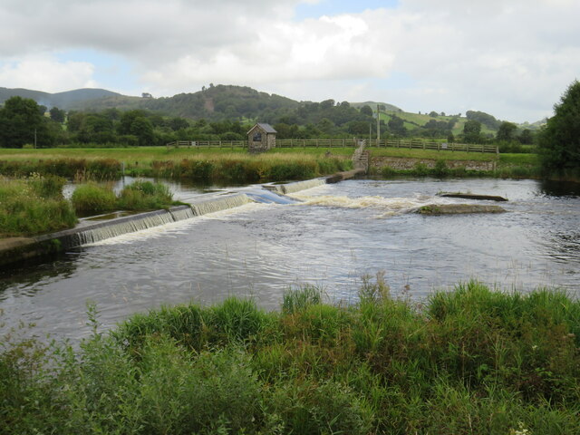
The wood is situated in a geographically diverse region, surrounded by rolling hills and stunning scenery. It boasts a diverse range of flora and fauna, making it a haven for nature enthusiasts and wildlife lovers alike. Common tree species found in Allt Ddu include oak, birch, ash, and beech, which add to the depth and richness of the forest.
Walking through Allt Ddu, visitors can experience a tranquil and serene environment, as the dense canopy overhead provides shade and a sense of seclusion. The forest floor is adorned with a vibrant carpet of ferns, mosses, and wildflowers, creating a picturesque landscape.
The wood is also home to a variety of wildlife, including deer, foxes, badgers, and a plethora of bird species. Birdwatchers can spot the likes of woodpeckers, owls, and warblers amidst the trees. Moreover, Allt Ddu is a habitat for several rare and endangered species, adding to its ecological significance.
The wood offers numerous walking trails and paths, allowing visitors to explore its beauty at their own pace. Its accessibility and proximity to nearby towns and villages make it a popular destination for both locals and tourists seeking a peaceful retreat into nature.
Overall, Allt Ddu in Merionethshire is a captivating forest that showcases the beauty of the Welsh countryside, providing a sanctuary for both wildlife and those seeking solace in nature's embrace.
If you have any feedback on the listing, please let us know in the comments section below.
Allt Ddu Images
Images are sourced within 2km of 52.896361/-3.5758462 or Grid Reference SH9434. Thanks to Geograph Open Source API. All images are credited.
Allt Ddu is located at Grid Ref: SH9434 (Lat: 52.896361, Lng: -3.5758462)
Unitary Authority: Gwynedd
Police Authority: North Wales
What 3 Words
///whiplash.roof.companies. Near Bala, Gwynedd
Nearby Locations
Related Wikis
Rhos-y-gwaliau
Rhos-y-gwaliau is a small hamlet in Meirionnydd, Gwynedd, North Wales, about 1.5 miles (2.4 km) south-east of Bala. It is home to the Rhos y Gwaliau Outdoor...

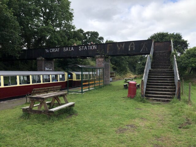
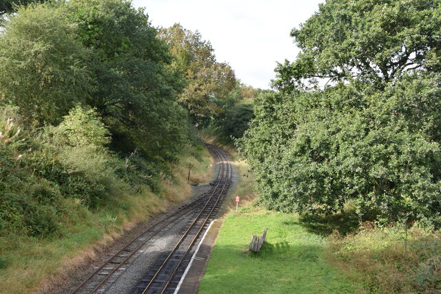
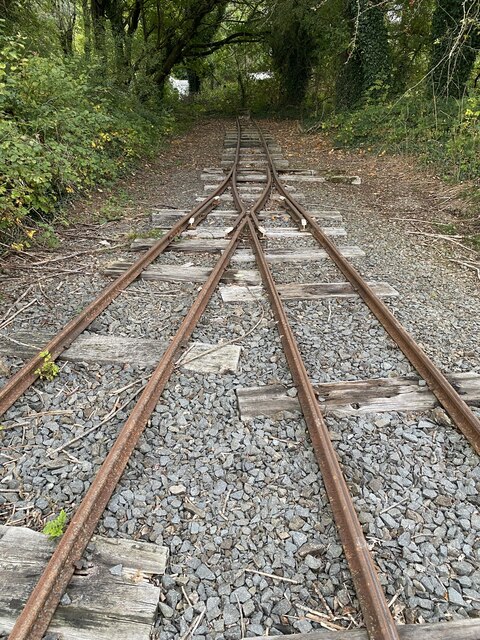
Bala Junction railway station
Bala Junction railway station was on the Ruabon to Barmouth line in southern Gwynedd, Wales. It closed to passengers on Monday 18 January 1965. Bala Junction...
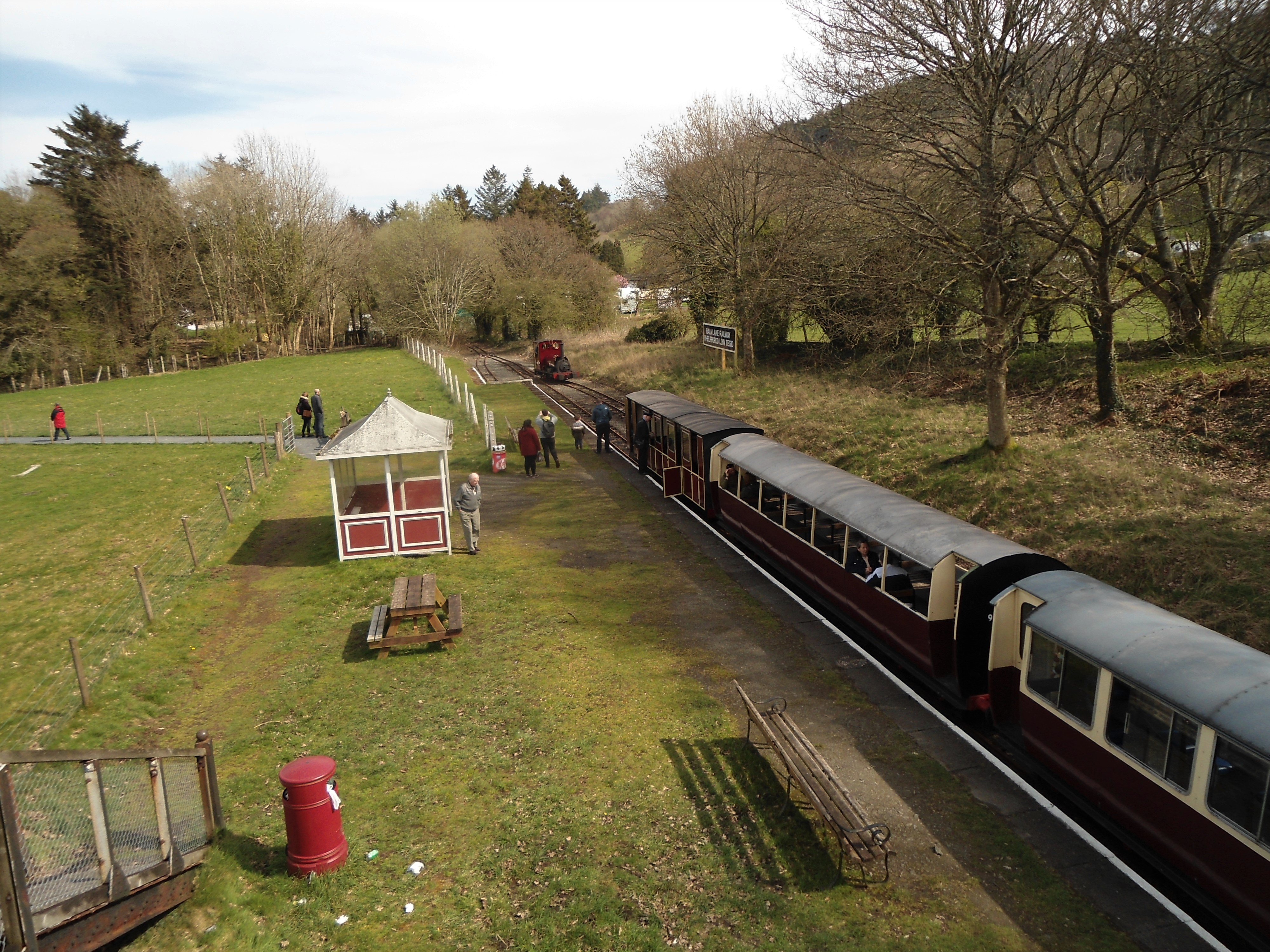
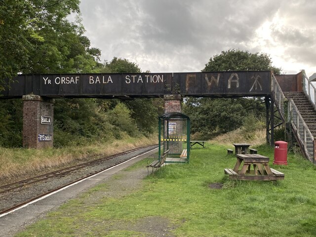
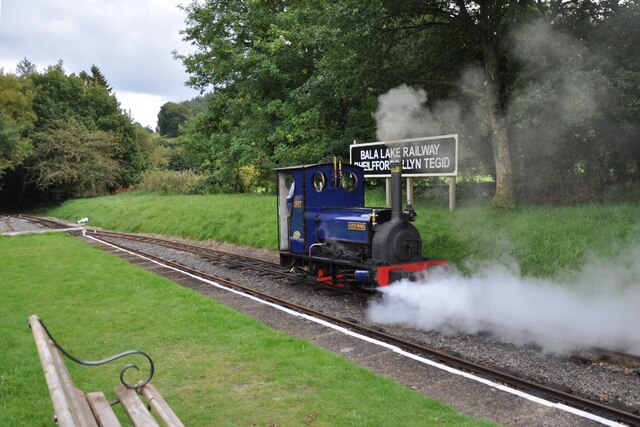
Bala (Penybont) railway station
Bala (Penybont) is the current terminus of the heritage Bala Lake Railway, in Gwynedd, Wales, since 1976. The site was formerly the location of the Bala...

Hirnant Limestone
The Hirnant Limestone is an old name for a geologic formation in England and Wales, defining the Hirnantian. It preserves fossils dating back to the Ordovician...

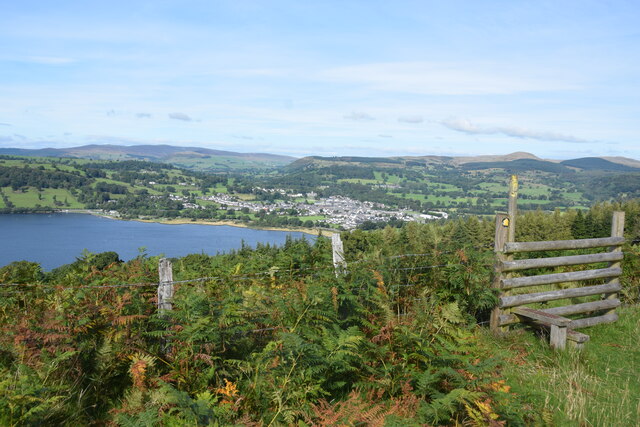
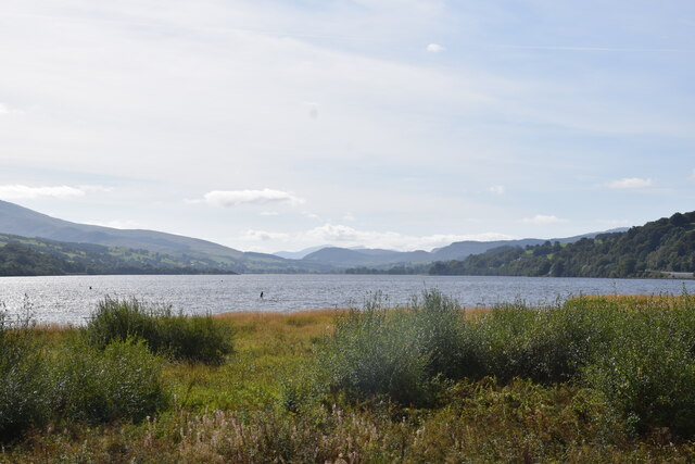
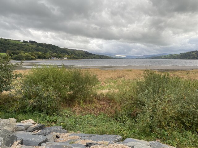
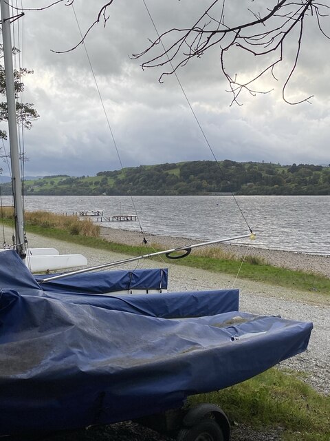
Bala, Gwynedd
Bala (Welsh: Y Bala) is a town and community in Gwynedd, Wales. Formerly an urban district, Bala lies in the historic county of Merionethshire, at the...

Bala Town Hall
Bala Town Hall (Welsh: Neuadd y Dref Y Bala), known in the late 19th century as the County Hall (Welsh: Neuadd y Sir Y Bala), is a municipal building in...
Bala (New) railway station
Bala railway station was on the Great Western Railway's Bala Ffestiniog Line in Wales. It replaced the first Bala station which was further away from the...

Llanfor
Llanfor is a village in Gwynedd, Wales near the town of Bala, in the community of Llandderfel. == History == There is evidence of an Iron Age Hill Fort...
Nearby Amenities
Located within 500m of 52.896361,-3.5758462Have you been to Allt Ddu?
Leave your review of Allt Ddu below (or comments, questions and feedback).