Coed Rhiwaedog
Wood, Forest in Merionethshire
Wales
Coed Rhiwaedog
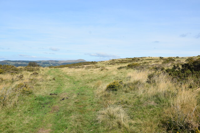
Coed Rhiwaedog is a picturesque woodland located in the county of Merionethshire, Wales. Spread across an area of approximately 200 acres, this enchanting forest boasts a rich history and abundant natural beauty.
Situated near the village of Trawsfynydd, Coed Rhiwaedog is renowned for its diverse range of flora and fauna. The woodland is primarily composed of native tree species such as oak, birch, and rowan, which provide a lush canopy and a haven for various wildlife. Visitors to the forest can expect to see a plethora of birds including redstarts, woodpeckers, and goldcrests, as well as mammals such as badgers, foxes, and even the occasional otter.
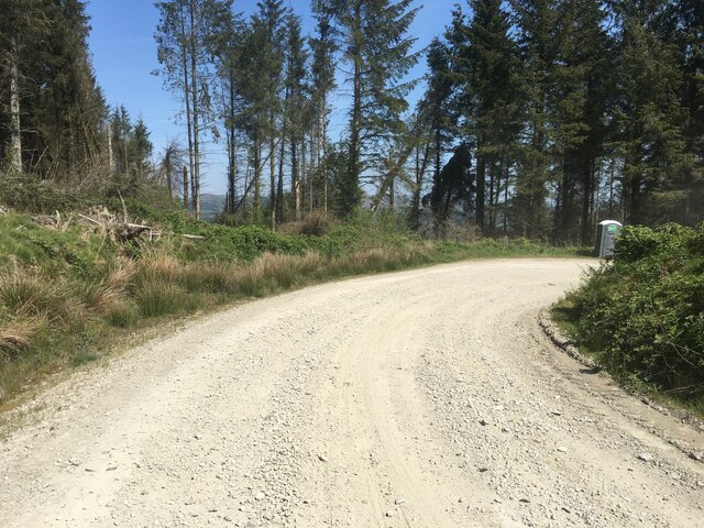
The woodland is crisscrossed with a network of well-maintained trails, allowing visitors to explore the forest at their own pace. These trails lead through ancient woodland areas, meandering beside babbling brooks and beneath towering trees, creating a tranquil and peaceful atmosphere. Along the way, visitors may stumble upon remnants of historic features, including old mining pits and ancient cairns, adding an element of intrigue to the experience.
Coed Rhiwaedog is also popular among outdoor enthusiasts, offering opportunities for activities such as hiking, birdwatching, and photography. The forest is particularly beautiful during the autumn months when the leaves turn vibrant shades of red, orange, and gold, creating a breathtaking spectacle.
With its stunning scenery, diverse wildlife, and rich history, Coed Rhiwaedog is a must-visit destination for nature lovers and those seeking a peaceful retreat in the heart of Merionethshire.
If you have any feedback on the listing, please let us know in the comments section below.
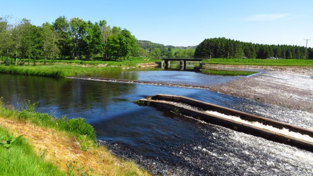
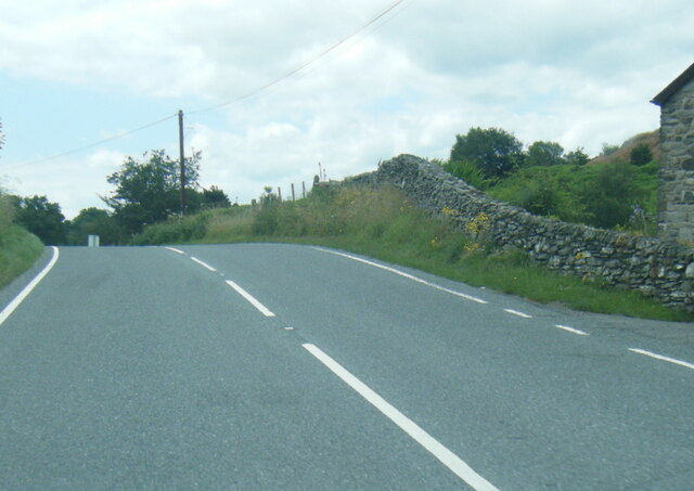
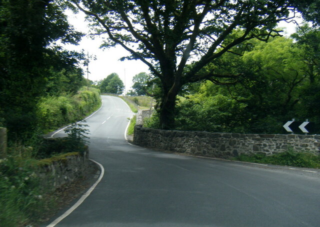
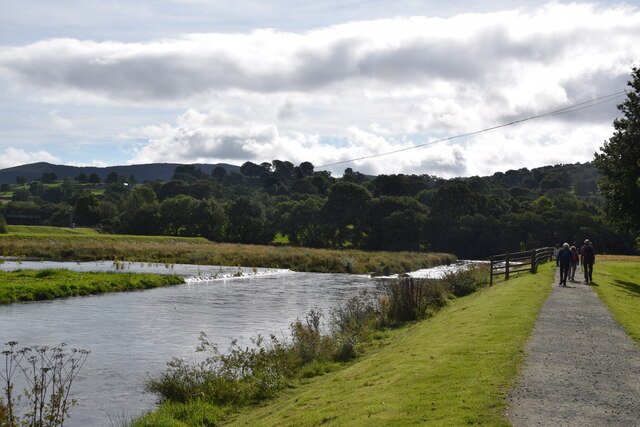
Coed Rhiwaedog Images
Images are sourced within 2km of 52.897341/-3.5642858 or Grid Reference SH9434. Thanks to Geograph Open Source API. All images are credited.


Coed Rhiwaedog is located at Grid Ref: SH9434 (Lat: 52.897341, Lng: -3.5642858)
Unitary Authority: Gwynedd
Police Authority: North Wales
What 3 Words
///gurgled.dispenser.monitors. Near Bala, Gwynedd
Nearby Locations
Related Wikis
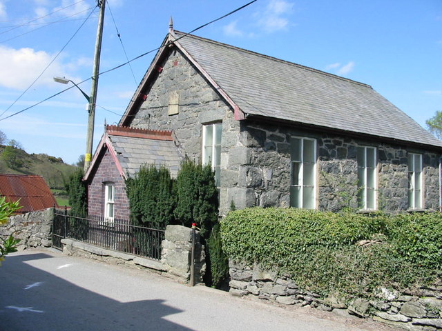
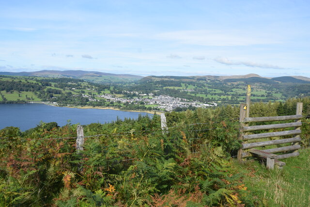
Rhos-y-gwaliau
Rhos-y-gwaliau is a small hamlet in Meirionnydd, Gwynedd, North Wales, about 1.5 miles (2.4 km) south-east of Bala. It is home to the Rhos y Gwaliau Outdoor...

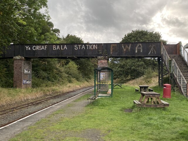
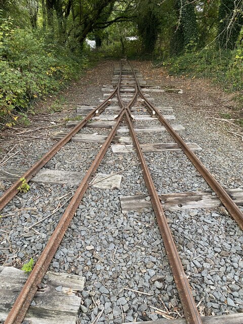
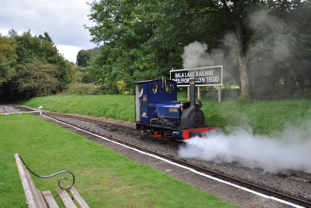
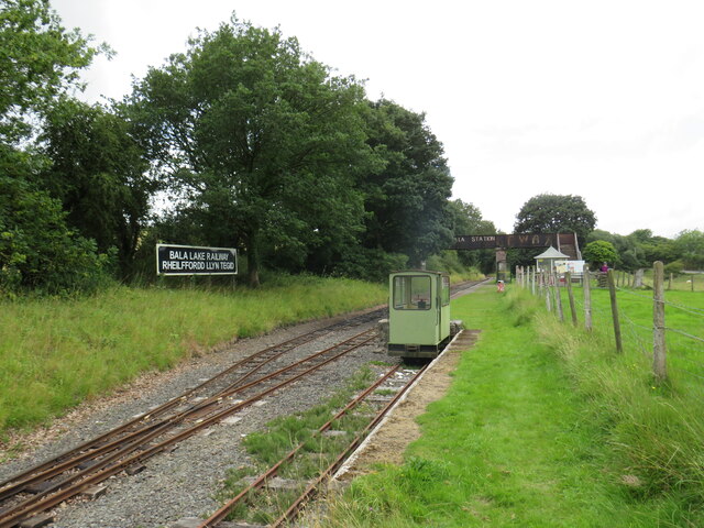
Bala Junction railway station
Bala Junction railway station was on the Ruabon to Barmouth line in southern Gwynedd, Wales. It closed to passengers on Monday 18 January 1965. Bala Junction...
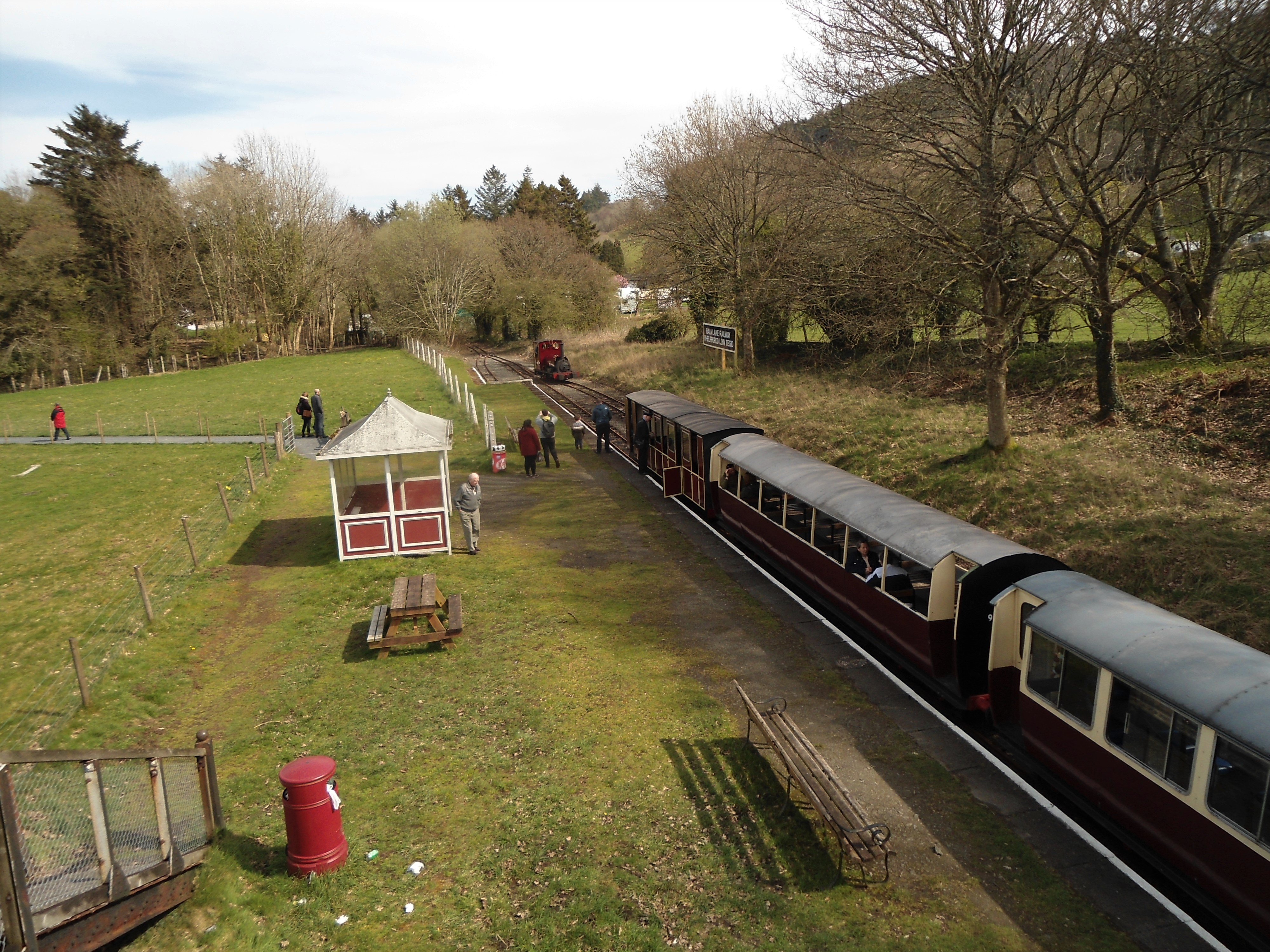
Bala (Penybont) railway station
Bala (Penybont) is the current terminus of the heritage Bala Lake Railway, in Gwynedd, Wales, since 1976. The site was formerly the location of the Bala...

Hirnant Limestone
The Hirnant Limestone is an old name for a geologic formation in England and Wales, defining the Hirnantian. It preserves fossils dating back to the Ordovician...

Llanfor
Llanfor is a village in Gwynedd, Wales near the town of Bala, in the community of Llandderfel. == History == There is evidence of an Iron Age Hill Fort...
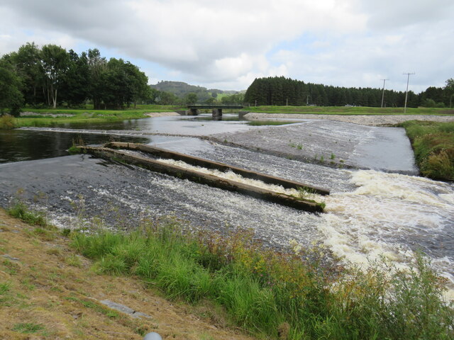
Afon Tryweryn
The Tryweryn is a river in the north of Wales which starts at Llyn Tryweryn in the Snowdonia National Park and after 19 kilometres (12 mi) joins the river...
Roman Catholic Diocese of Wrexham
The Diocese of Wrexham, is a Latin Church ecclesiastical territory or diocese of the Catholic Church in Wales. The diocese is a suffragan in the ecclesiastical...

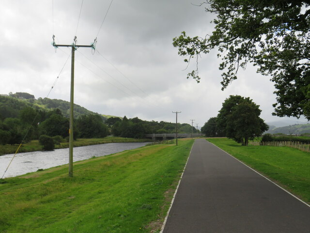
Bala, Gwynedd
Bala (Welsh: Y Bala) is a town and community in Gwynedd, Wales. Formerly an urban district, Bala lies in the historic county of Merionethshire, at the...
Nearby Amenities
Located within 500m of 52.897341,-3.5642858Have you been to Coed Rhiwaedog?
Leave your review of Coed Rhiwaedog below (or comments, questions and feedback).