Allt y Gofau
Wood, Forest in Montgomeryshire
Wales
Allt y Gofau
Allt y Gofau is a woodland area located in Montgomeryshire, Wales. It is known for its stunning natural beauty and rich biodiversity, making it a popular destination for nature enthusiasts and hikers.
Covering an area of approximately 500 acres, Allt y Gofau is dominated by a mix of deciduous and coniferous trees, including oak, beech, pine, and spruce. The woodland is characterized by its dense canopy, providing a cool and shady environment even during the hottest summer months.
The forest is crisscrossed by numerous well-maintained trails, allowing visitors to explore the area on foot or by bike. These trails offer breathtaking views of the surrounding countryside, with some even leading to nearby rivers and waterfalls.
Allt y Gofau is home to a diverse range of wildlife, including various species of birds, mammals, and insects. Birdwatchers will delight in the chance to spot rare species such as red kites and buzzards, while nature photographers will find endless opportunities to capture the beauty of the forest's flora and fauna.
The woodland also has historical significance, with evidence of human activity dating back centuries. Ruins of old buildings and ancient pathways can still be found, adding to the charm and intrigue of the area.
Overall, Allt y Gofau offers a tranquil and picturesque escape from the hustle and bustle of modern life. Whether you're seeking a peaceful walk in nature or a chance to observe wildlife, this woodland in Montgomeryshire is sure to captivate and inspire.
If you have any feedback on the listing, please let us know in the comments section below.
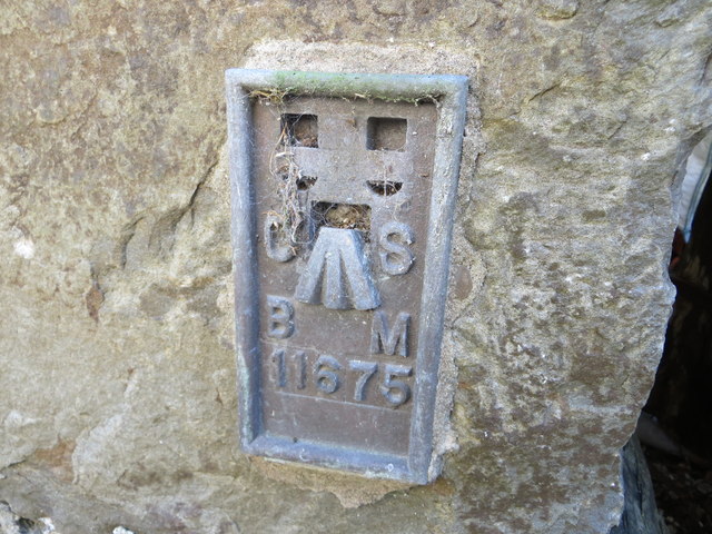
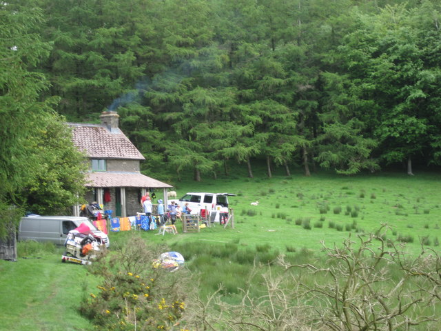
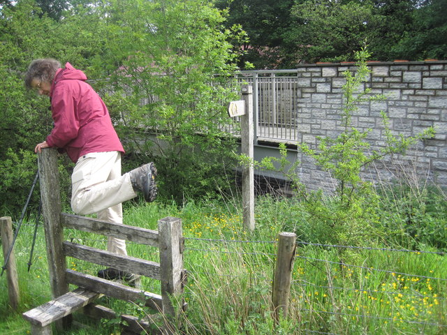
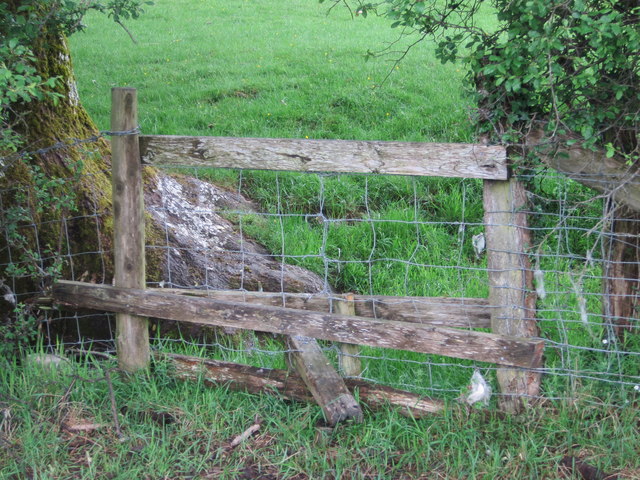
Allt y Gofau Images
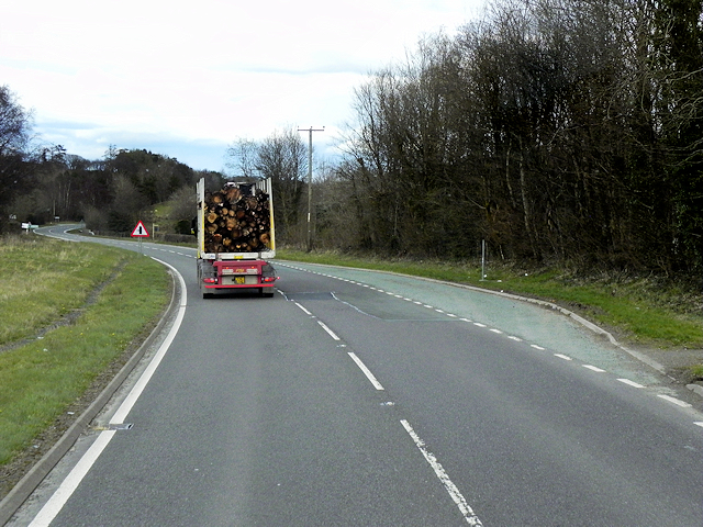
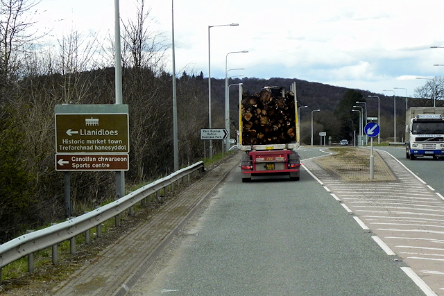
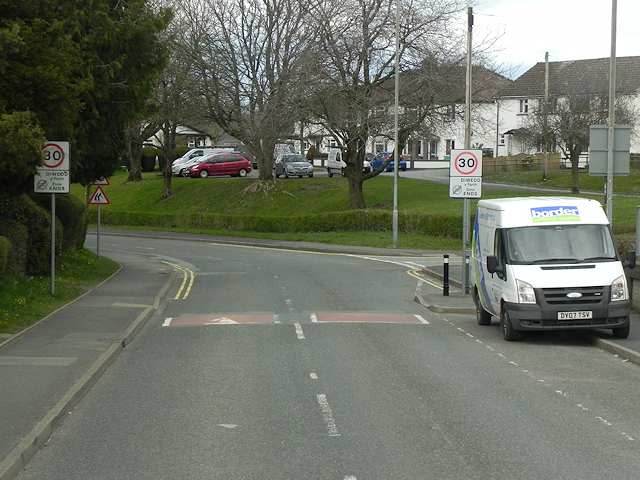
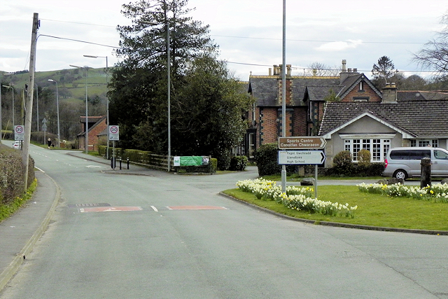
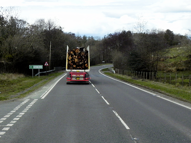
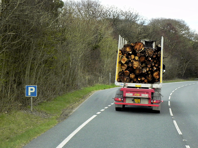
Images are sourced within 2km of 52.432859/-3.5610944 or Grid Reference SN9382. Thanks to Geograph Open Source API. All images are credited.
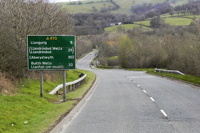
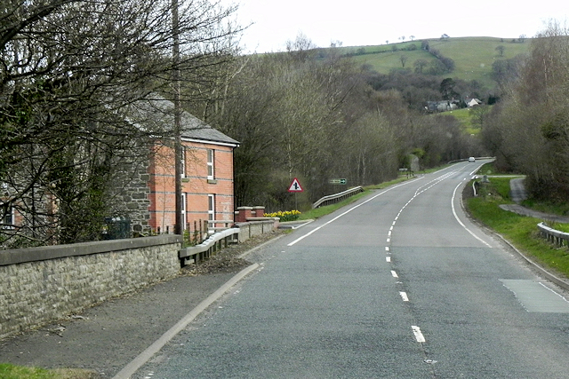
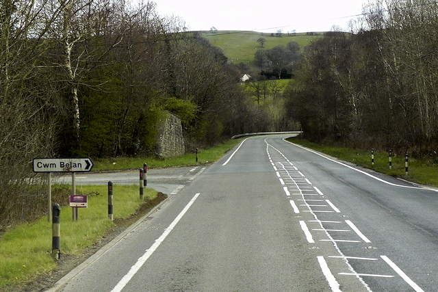
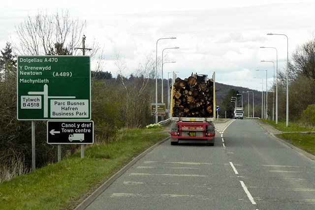
Allt y Gofau is located at Grid Ref: SN9382 (Lat: 52.432859, Lng: -3.5610944)
Unitary Authority: Powys
Police Authority: Dyfed Powys
What 3 Words
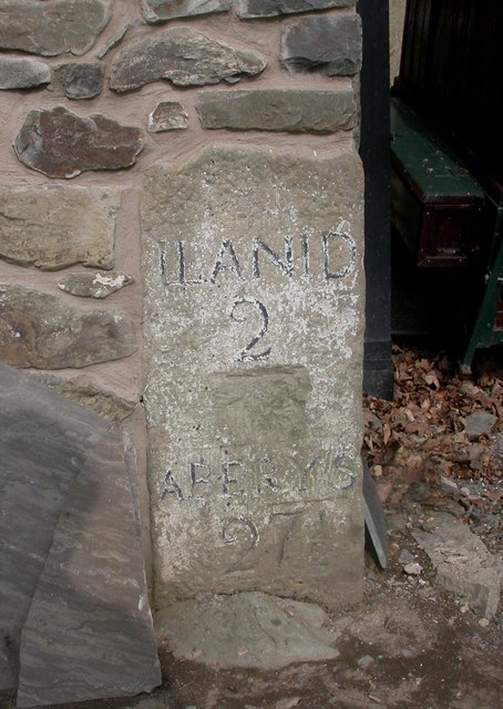
///pouch.suiting.goose. Near Llanidloes, Powys
Nearby Locations
Related Wikis

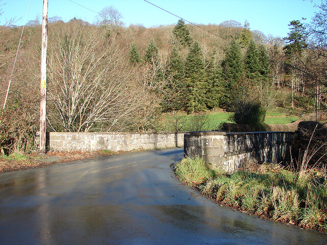
Afon Dulas, Llanidloes
The Afon Dulas is a river in Powys, Wales (Afon is Welsh for river). It is a headwater tributary of the River Severn, which it joins at Llanidloes opposite...

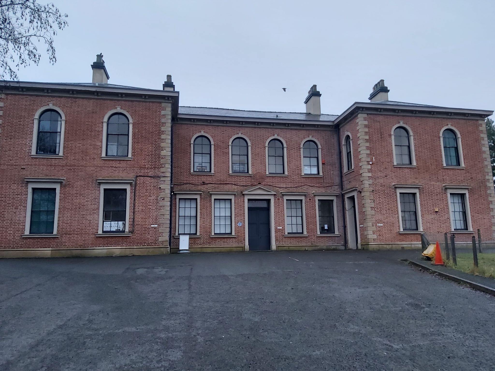
Llanidloes High School
Llanidloes High School is a state secondary school and sixth form in Llanidloes, Powys. The school had 564 pupils on roll in 2016. It is an English-medium...
Llanidloes transmitting station
The Llanidloes transmitting station is a broadcasting and telecommunications facility consisting of a self-supporting 23 m lattice mast erected on land...
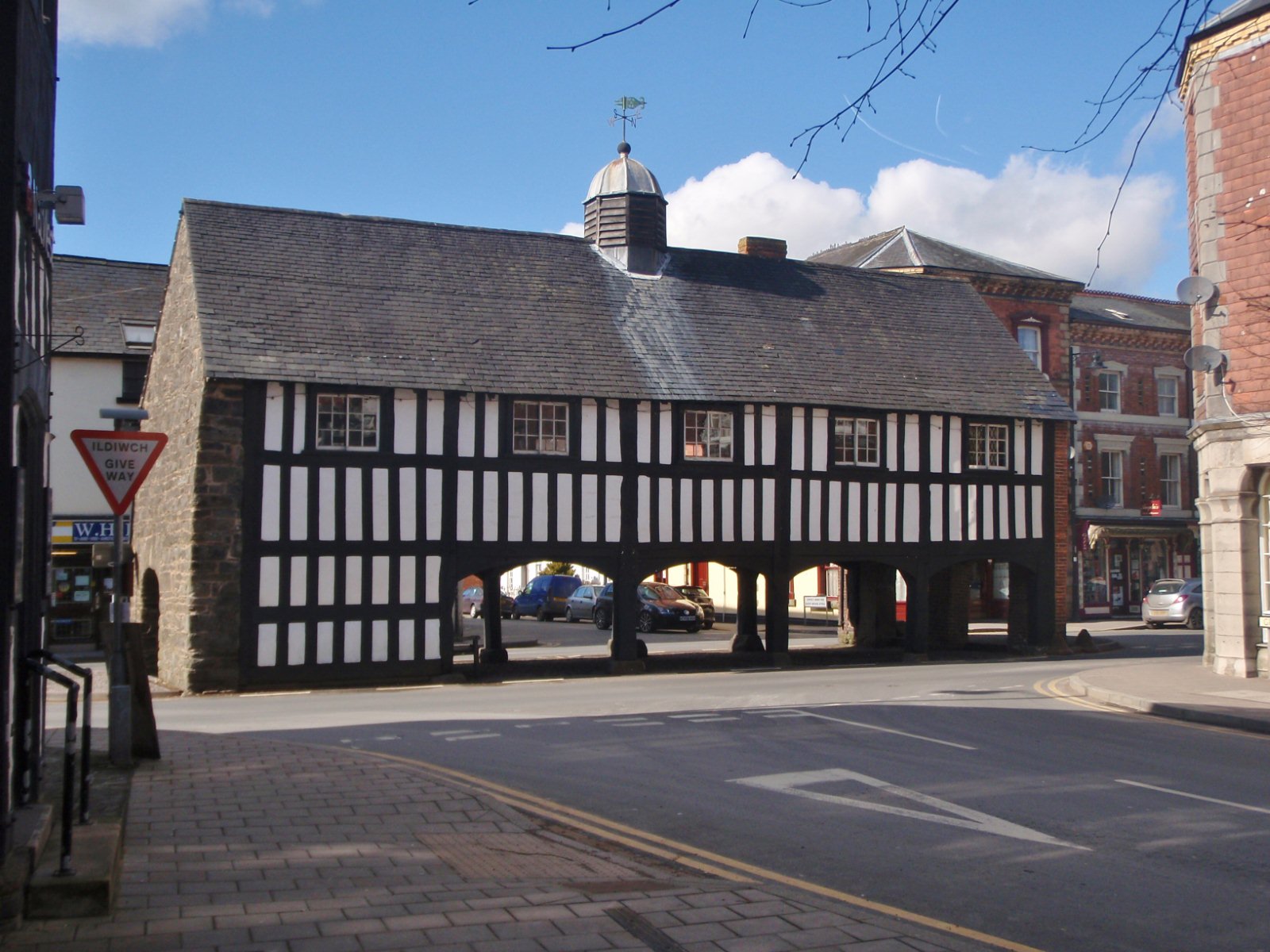
Old Market Hall, Llanidloes
The Old Market Hall is the oldest timber-framed market hall in Llanidloes, Wales, dating to the early 17th century. Until well into the 20th century a...

Llanidloes Town Hall
Llanidloes Town Hall (Welsh: Neuadd y Dref Llanidloes) is a municipal building in Great Oak Street, Llanidloes in Powys, Wales. The structure, which is...

Llanidloes
Llanidloes (Welsh pronunciation: [ɬanˈɪdlɔɨs]) is a town and community on the A470 and B4518 roads in Powys, within the historic county boundaries of Montgomeryshire...
Llanidloes railway station
Llanidloes railway station is a former junction railway station in Llanidloes, Powys, Wales. The Cambrian Railways, which completed the building in 1864...

Afon Clywedog
The Afon Clywedog is an upland headwater tributary of the River Severn in Powys, Wales. It is approximately 29 km long and has its source on the flanks...
Have you been to Allt y Gofau?
Leave your review of Allt y Gofau below (or comments, questions and feedback).