Allt y Frân
Wood, Forest in Brecknockshire
Wales
Allt y Frân
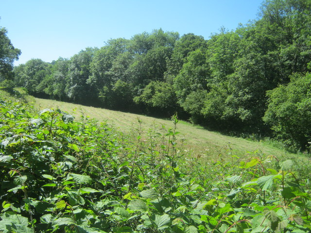
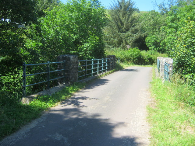
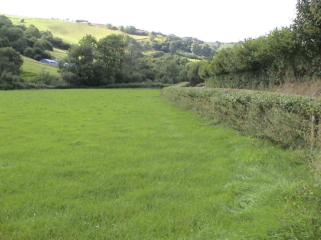
Allt y Frân is a serene woodland area located in Brecknockshire, Wales. Situated in the central part of the country, it covers a vast expanse of land and is a popular destination for nature enthusiasts and hikers alike.
The woodland is known for its breathtaking beauty, with a diverse range of flora and fauna. The towering trees provide a lush canopy, creating a tranquil atmosphere that is perfect for relaxation and exploration. Visitors can expect to see a variety of native species, including oak, beech, and ash trees, as well as an abundance of wildflowers during the spring and summer months.
Trails and footpaths crisscross through the woodland, offering visitors the chance to immerse themselves in the natural surroundings. These paths are well-maintained, making it easy for people of all ages and fitness levels to enjoy the area. Along the way, there are several viewpoints that provide stunning vistas of the surrounding countryside.
Allt y Frân is also home to a diverse array of wildlife. Birdwatchers will be delighted by the sight of various species, including woodpeckers, owls, and red kites. Squirrels and rabbits can often be spotted darting through the undergrowth, adding to the sense of wonder and enchantment.
For those looking to extend their stay, there are camping facilities available within the woodland. This allows visitors to fully immerse themselves in the natural beauty of Allt y Frân, waking up to the sounds of birdsong and the rustling of leaves.
Overall, Allt y Frân is a haven for nature lovers, offering a peaceful retreat in the heart of Brecknockshire. With its stunning scenery and abundant wildlife, it is a must-visit destination for anyone seeking to reconnect with nature.
If you have any feedback on the listing, please let us know in the comments section below.
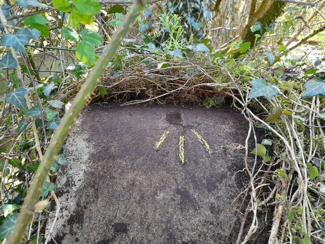
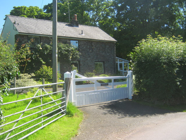
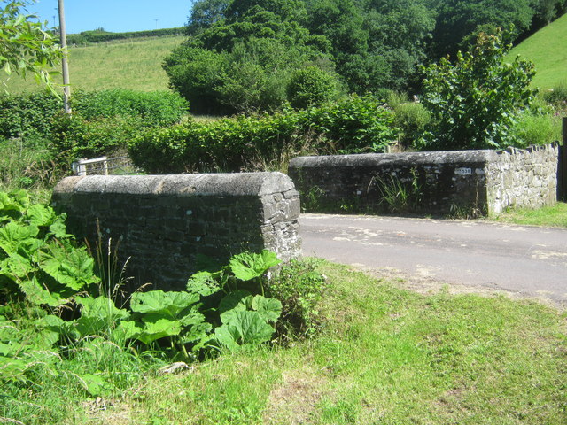
Allt y Frân Images
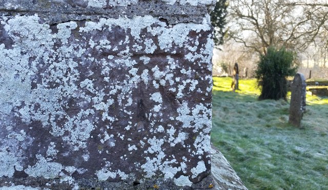
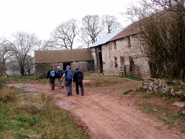
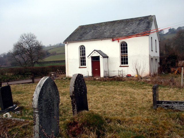
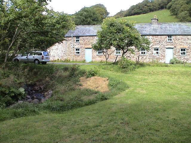
Images are sourced within 2km of 52.001872/-3.5463132 or Grid Reference SN9334. Thanks to Geograph Open Source API. All images are credited.


Allt y Frân is located at Grid Ref: SN9334 (Lat: 52.001872, Lng: -3.5463132)
Unitary Authority: Powys
Police Authority: Dyfed Powys
What 3 Words
///hips.sock.stems. Near Cray, Powys
Nearby Locations
Related Wikis
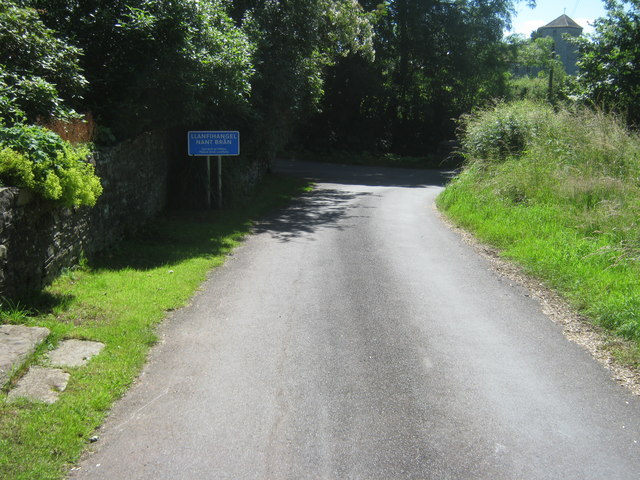
Llanfihangel Nant Brân
Llanfihangel Nant Brân is a small village lying next to the Nant Brân river in Powys, Wales about 7.5 miles (12 km) west of Brecon. It is largely a farming...

Pentre-bach, Powys
Pentre-bach (Welsh for "small village") is a hamlet (one of several in Wales with similar names) in Powys, Wales, in the former county and current Shire...

Yscir with Honddu Isaf and Llanddew
Yscir with Honddu Isaf and Llanddew (formerly known as Yscir) is the name of an electoral ward in southern Powys, Wales. It covers five local government...
Soar, Powys
Soar is a small village in Powys, Wales, 37 miles North West of Cardiff. It sits at the foot of Mynydd Epynt, and is near Brecon in the historic county...
Nearby Amenities
Located within 500m of 52.001872,-3.5463132Have you been to Allt y Frân?
Leave your review of Allt y Frân below (or comments, questions and feedback).