Coed yr Hesgog

Wood, Forest in Brecknockshire

Wales

Coed yr Hesgog

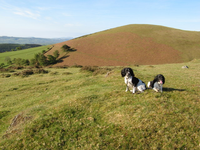
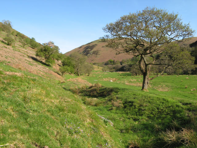
Fields by Fronwen A peaceful scene in falling evening light, marred slightly by unsightly forest clearance.
Fields by Fronwen Credit: Jonathan Wilkins

The requested URL returned error: 429 Too Many Requests

If you have any feedback on the listing, please let us know in the comments section below.

Coed yr Hesgog Images

Images are sourced within 2km of 52.180822/-3.5521779 or Grid Reference SN9354. Thanks to Geograph Open Source API. All images are credited.

Fields by Fronwen A peaceful scene in falling evening light, marred slightly by unsightly forest clearance.
Fields by Fronwen
A peaceful scene in falling evening light, marred slightly by unsightly forest clearance.
Farmland near Brongarth Undulating pastures surrounded by hills, with a distant view to Bwlchciliau.
Farmland near Brongarth
Undulating pastures surrounded by hills, with a distant view to Bwlchciliau.
Moelydd summit  Rounded, bald hills (moelydd) dominate the edge of the moorland. This summit hardly looks like one when viewed against the nearby peak of Gelli Faenog.
Moelydd summit
Rounded, bald hills (moelydd) dominate the edge of the moorland. This summit hardly looks like one when viewed against the nearby peak of Gelli Faenog.
Fresh firewood Ash trees have been cut down from the roadside bank and sawn into logs ready for the fire. An interesting texture has been created in a very plain, green pasture.
Fresh firewood
Ash trees have been cut down from the roadside bank and sawn into logs ready for the fire. An interesting texture has been created in a very plain, green pasture.
Telephone box with tree Yes, I know it has been imaged before, but I think it warrants the inclusion of a bit of landscape. An idyllic location by the farm named Awelach (rough translation: more peaceful).
Telephone box with tree
Yes, I know it has been imaged before, but I think it warrants the inclusion of a bit of landscape. An idyllic location by the farm named Awelach (rough translation: more peaceful).
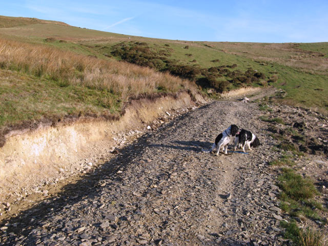
Track cutting Considerable effort has been expended in improving the informal track which must cross a small stream here. Rushes on the bank suggest that this was also a very wet and boggy area.
Track cutting
Considerable effort has been expended in improving the informal track which must cross a small stream here. Rushes on the bank suggest that this was also a very wet and boggy area.
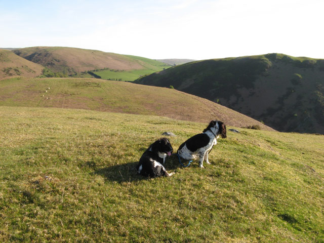
View from the summit Deep shadow in Cwm Dulas accentuates the curious, billowy nature of the terrain here.
View from the summit
Deep shadow in Cwm Dulas accentuates the curious, billowy nature of the terrain here.
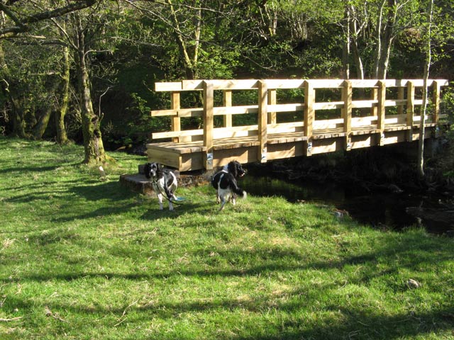
New timber footbridge It's good to see that the crossings of the Dulas are so well maintained. This one is very new.
New timber footbridge
It's good to see that the crossings of the Dulas are so well maintained. This one is very new.
Cwm Dulas Looking up the level floor of this lovely valley towards Allt y Dinas.
Cwm Dulas
Looking up the level floor of this lovely valley towards Allt y Dinas.
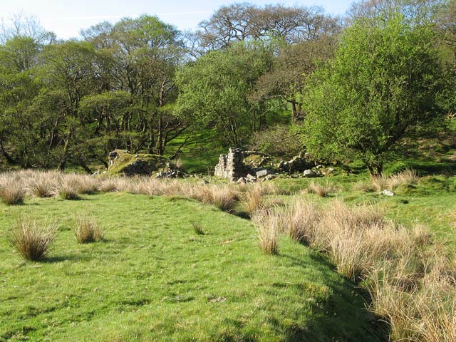
Ruined farm A poignant reminder of how closely people lived to the land in past times.
Ruined farm
A poignant reminder of how closely people lived to the land in past times.
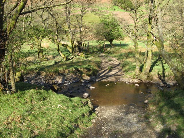
Ford on the Dulas The crossing of the Dulas for farm traffic or livestock.
Ford on the Dulas
The crossing of the Dulas for farm traffic or livestock.
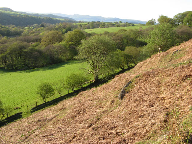
Edge of the hill pasture Improved grassland on the lower fields makes a sharp contrast with the bracken-infested slope of the hill pasture above the valley of the Dulas. The bridleway runs along the boundary wall on its way to Ty'n y clyn where it rejoins the road.
Edge of the hill pasture
Improved grassland on the lower fields makes a sharp contrast with the bracken-infested slope of the hill pasture above the valley of the Dulas. The bridleway runs along the boundary wall on its way to Ty'n y clyn where it rejoins the road.
Pasture and oak trees north-east of Beulah, Powys These very "expressive" trees can be seen south of the B4538 Newbridge road about a mile and a half out of Beulah. it must have been trees like this which Tolkien observed when developing his fantasy "ents" of Middle-earth.
Pasture and oak trees north-east of Beulah, Powys
These very "expressive" trees can be seen south of the B4538 Newbridge road about a mile and a half out of Beulah. it must have been trees like this which Tolkien observed when developing his fantasy "ents" of Middle-earth.
Double oak tree north-east of Beulah, Powys There are some wonderful Tolkienesque tree shapes to be observed in our countryside. In fact, the image of this growth in wider context gives the stronger impression of the tree walking towards the other, ent-like.

See <a href="https://www.geograph.org.uk/photo/2932613">SN9352 : Pasture and oak trees north-east of Beulah, Powys</a>.
Double oak tree north-east of Beulah, Powys
There are some wonderful Tolkienesque tree shapes to be observed in our countryside. In fact, the image of this growth in wider context gives the stronger impression of the tree walking towards the other, ent-like. See SN9352 : Pasture and oak trees north-east of Beulah, Powys.
The B4538 to Newbridge, Powys Looking towards Newbridge, about a mile and a half out of Beulah.
The B4358 links Beulah with Newbridge-on-Wye and Llandrindod Wells.
The B4538 to Newbridge, Powys
Looking towards Newbridge, about a mile and a half out of Beulah. The B4358 links Beulah with Newbridge-on-Wye and Llandrindod Wells.
Pasture north-east of Beulah, Powys Flat grazing land near the farm at Llwyn Gwrgan, about a mile and a half from Beulah.
Pasture north-east of Beulah, Powys
Flat grazing land near the farm at Llwyn Gwrgan, about a mile and a half from Beulah.
Farmland west of Glandulas, Powys Looking across Cwm Dulas towards the 301 metre (987 feet) high forested summit of Garth Bank.
Farmland west of Glandulas, Powys
Looking across Cwm Dulas towards the 301 metre (987 feet) high forested summit of Garth Bank.
The B4358 to Beulah, Powys The road connects Llandrindod Wells and Newbridge-on-Wye with Beulah, and is seen here west of Glandulas, where it is about to descend into the Deuffrywd valley.
The B4358 to Beulah, Powys
The road connects Llandrindod Wells and Newbridge-on-Wye with Beulah, and is seen here west of Glandulas, where it is about to descend into the Deuffrywd valley.
Show me another place!

Coed yr Hesgog is located at Grid Ref: SN9354 (Lat: 52.180822, Lng: -3.5521779)

Unitary Authority: Powys

Police Authority: Dyfed Powys

What 3 Words

///tungsten.nightcap.along. Near Llwyn-Madoc, Powys

Nearby Locations

Coed yr Hesgog Coed y Pant

Related Wikis

Llanafan Fawr

Llanafan Fawr is a village and community and ecclesiastical parish in Powys, Wales. Located in the former cantref of Buellt (Builth) and historic county...

Garth Bank Quarry

Garth Bank Quarry is a Site of Special Scientific Interest in Brecknock, Powys, Wales. The Countryside Council for Wales describes the significance of...

Beulah, Powys

Beulah is a village in southern Powys, Wales, in the community of Treflys, lying on the Afon Cammarch. The village sits astride the main A483 road about...

Garth, Powys

Garth is a village in Powys, mid Wales, in the community of Treflys. It lies on the A483 road between Builth Wells and Beulah at the point where the B4519...

Have you been to Coed yr Hesgog?

Leave your review of Coed yr Hesgog below (or comments, questions and feedback).