Bush End

Settlement in Essex Uttlesford

England

Bush End

Road junction between Brickkiln Spring and Canfield Hart These are each the names of woods nearby. The B183 runs across ahead in the shot.
Road junction between Brickkiln Spring and Canfield Hart Credit: Trevor Harris

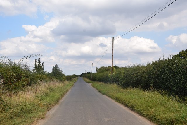
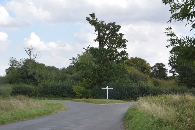
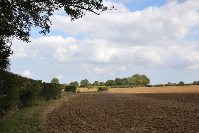
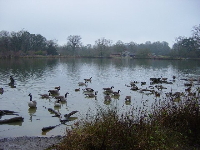
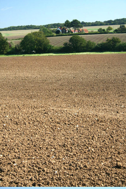
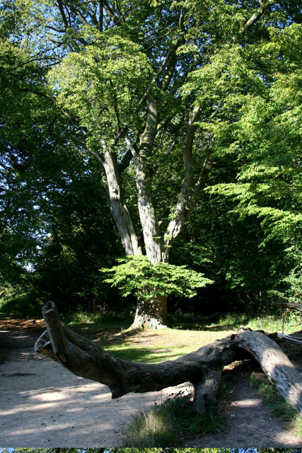
Bush End is a small village located in the county of Essex, England. Situated in the district of Uttlesford, it is nestled amidst the picturesque countryside, offering a tranquil and idyllic setting for residents and visitors alike. The village is surrounded by lush green fields, rolling hills, and charming wooded areas, making it a haven for nature lovers and those seeking a peaceful retreat.

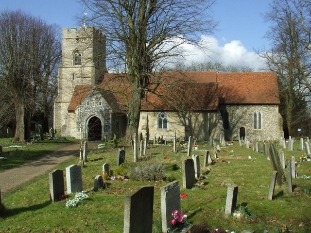
Bush End is renowned for its historical significance, with evidence of human habitation dating back to the Roman era. The village boasts several ancient landmarks, including St. Mary's Church, a beautiful medieval structure that has stood for centuries and attracts history enthusiasts and architecture aficionados.

The village is home to a close-knit community, with a small population of friendly and welcoming residents. The local amenities in Bush End are limited, but the nearby town of Saffron Walden provides a wider range of facilities, including shops, restaurants, schools, and healthcare services.

For outdoor enthusiasts, Bush End offers an abundance of opportunities to explore the surrounding natural beauty. The village is located near several walking trails and cycling routes, inviting visitors to immerse themselves in the scenic countryside. The nearby Audley End Park, a magnificent landscaped garden and stately home, is also a popular destination for locals and tourists alike.

In summary, Bush End is a charming and historic village in Essex, offering a peaceful and rural escape from the hustle and bustle of city life. With its natural beauty, rich history, and close-knit community, it is a hidden gem waiting to be discovered.

If you have any feedback on the listing, please let us know in the comments section below.
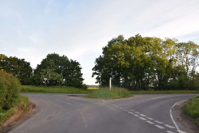
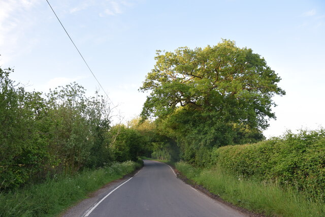
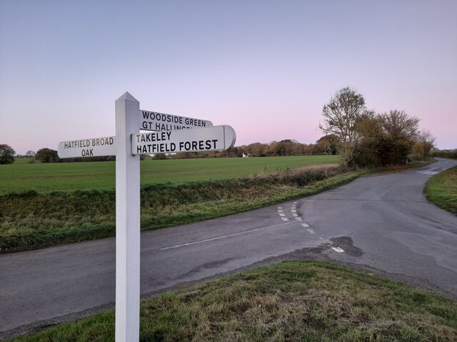
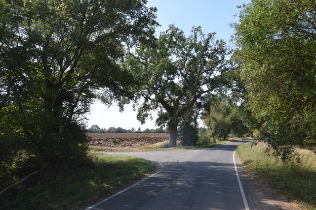
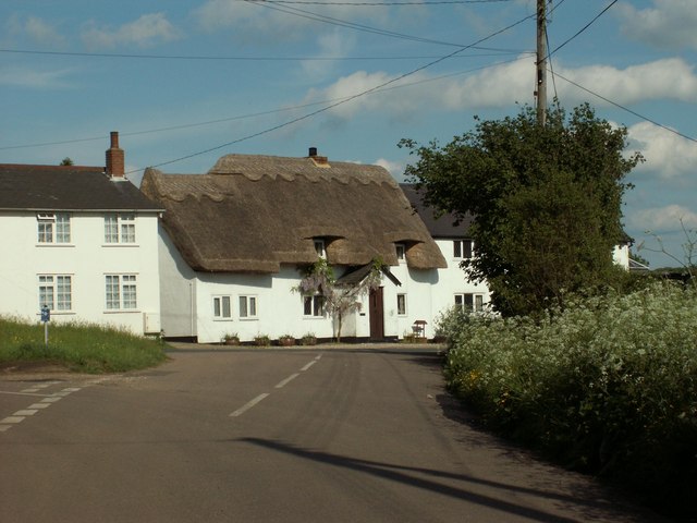
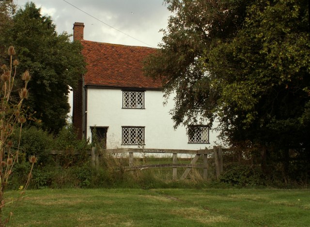
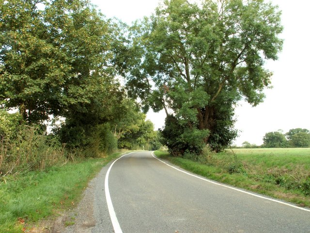
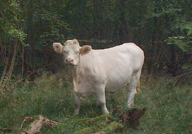
Bush End Images

Images are sourced within 2km of 51.855484/0.250125 or Grid Reference TL5519. Thanks to Geograph Open Source API. All images are credited.

Road junction between Brickkiln Spring and Canfield Hart These are each the names of woods nearby. The B183 runs across ahead in the shot.
Road junction between Brickkiln Spring and Canfield Hart
These are each the names of woods nearby. The B183 runs across ahead in the shot.
Lane to Great Canfield
Junction and Sign The meeting of Hatfield Forest Road/ Wood Row/ Greenhill.
Junction and Sign
The meeting of Hatfield Forest Road/ Wood Row/ Greenhill.
Road junction at Taverners Green With the lane called Crabbs Green on the left ahead.
Road junction at Taverners Green
With the lane called Crabbs Green on the left ahead.
Straight road near Forest Farm This very straight section is about a kilometre in length and may mark the route of a Roman road heading for Takeley Street (several other straight sections occur between here and Takeley Street). "Street" in a place name often denotes a settlement on a Roman road and indeed Takeley Street is on Stane Street running east to west. I think it's not too fanciful to see this as a Roman route to Stane Street.
Straight road near Forest Farm
This very straight section is about a kilometre in length and may mark the route of a Roman road heading for Takeley Street (several other straight sections occur between here and Takeley Street). "Street" in a place name often denotes a settlement on a Roman road and indeed Takeley Street is on Stane Street running east to west. I think it's not too fanciful to see this as a Roman route to Stane Street.
Finger post at junction near Bridgefoot Farm Directions shown are left to Takeley and Hatfield Forest, right to Hatfield Broad Oak, and towards the photographer, to Woodside Green and Hallingbury. For a close-up see photo from contributor David Bremner <a href="https://www.geograph.org.uk/photo/7329457">TL5418 : Junction and Sign</a>
Finger post at junction near Bridgefoot Farm
Directions shown are left to Takeley and Hatfield Forest, right to Hatfield Broad Oak, and towards the photographer, to Woodside Green and Hallingbury. For a close-up see photo from contributor David Bremner TL5418 : Junction and Sign
Little Barrington Hall Farm
Field south of Greenhill Is beside, or was part of Brumsted Common.
Field south of Greenhill
Is beside, or was part of Brumsted Common.
Hatfield Forest. Now a popular park cared for by the National Trust.
Hatfield Forest.
Now a popular park cared for by the National Trust.
The Shell House, Hatfield Forest Jacob Houblon III built The Shell House in about 1754. It was attached to a cottage by his new lake and was occupied by a housekeeper who kept poultry and peacocks. The cottage was later demolished. The Shell House has recently been restored by The National Trust.
The Shell House, Hatfield Forest
Jacob Houblon III built The Shell House in about 1754. It was attached to a cottage by his new lake and was occupied by a housekeeper who kept poultry and peacocks. The cottage was later demolished. The Shell House has recently been restored by The National Trust.
The Lake, Hatfield Forest Looking SW across to the Shell House. This lake was created by Jacob Houblon III in circa 1750 from marshland fed by the Shermore Brook.
The Lake, Hatfield Forest
Looking SW across to the Shell House. This lake was created by Jacob Houblon III in circa 1750 from marshland fed by the Shermore Brook.
Cottages at Greenhill, near Hatfield Broad Oak, Essex
House at Bush End, near Hatfield Forest, Essex
Country road near Great Canfield, Essex
Bridgefoot Farm and footbridge The farm gets its name from standing by the footbridge, which is used when the small stream running beneath floods the road.
Bridgefoot Farm and footbridge
The farm gets its name from standing by the footbridge, which is used when the small stream running beneath floods the road.
Heifer, Lodge Coppice, Hatfield Forest
High House Farm, Bush End
Hatfield Forest In Gravelpit Coppice near the lake.
Hatfield Forest
In Gravelpit Coppice near the lake.
Show me another place!

Bush End is located at Grid Ref: TL5519 (Lat: 51.855484, Lng: 0.250125)

Administrative County: Essex

District: Uttlesford

Police Authority: Essex

What 3 Words

///shelved.gradually.windmill. Near Takeley, Essex

Nearby Locations

Bush End Bushend Common

Related Wikis

Nearby Amenities

Located within 500m of 51.855484,0.250125
Bush End
Place: hamlet
Lat/Long: 51.8551476/0.2506931
Addr Housename: Bush End Cottage
Lat/Long: 51.8528043/0.2517684
Barrier: stile
Material: wood
Stile: stepover
Lat/Long: 51.8565248/0.2497832
Barrier: stile
Material: wood
Lat/Long: 51.85739/0.2507796
Post Box
Lat/Long: 51.8560461/0.2449248
Colour: red and white
Marker: aerial
Utility: gas
Lat/Long: 51.8526741/0.2536683
Colour: yellow
Marker: post
Utility: gas
Lat/Long: 51.8526404/0.2536322
Bush End Plain
Place: locality
Lat/Long: 51.8573418/0.2443316
Information: board
Tourism: information
Lat/Long: 51.8564572/0.2449833
The data included in this document is from www.openstreetmap.org. The data is made available under ODbL.

Have you been to Bush End?

Leave your review of Bush End below (or comments, questions and feedback).